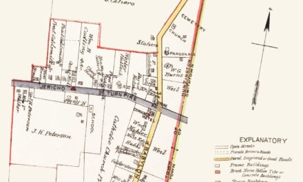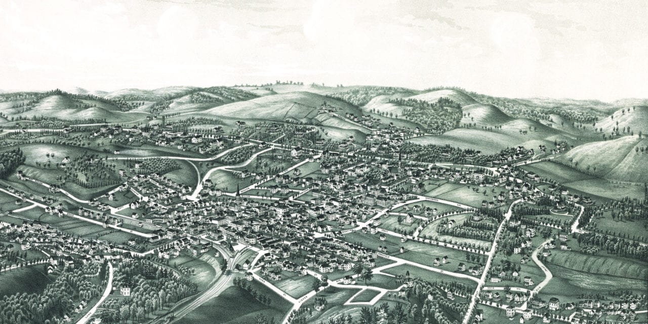
This historic old map of White Plains, New York was created in 1887 by Lucien R. Burleigh, a prominent 19th century cartographer. The map shows a bird’s eye view of White Plains as it used to be, including street names and old landmarks.
Landmarks on the map include the Westchester County Court House, Westchester County Jail, Public Schools, Presbyterian Church, Methodist Church, Baptist Church, Episcopal Church, Catholic Church, Soldiers’ Monument, Railroad Station, and more.
This historic map of White Plains, NY has been restored by KNOWOL. Reproductions of the map are available here.
Bird’s Eye View of White Plains, NY in 1887
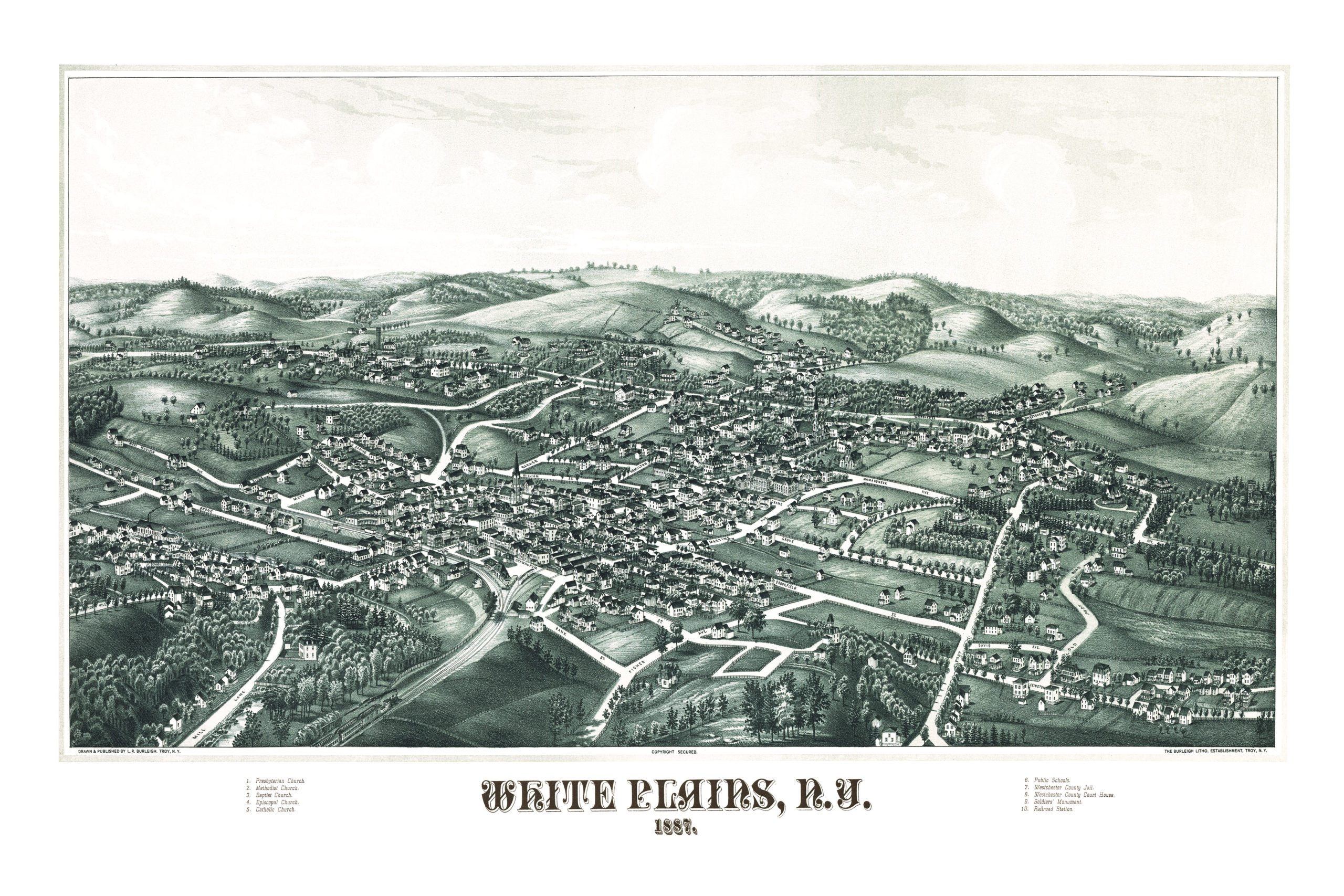
This old map of White Plains will make an attractive addition to your office, library, or den, and can even be used to teach children the geography and history of the area. When you’re done exploring, click here to get your copy.