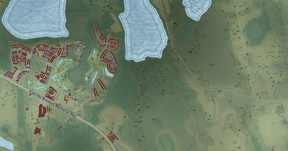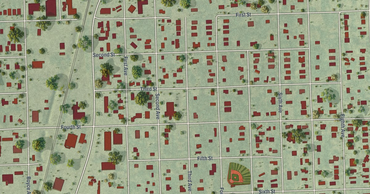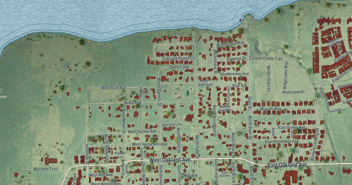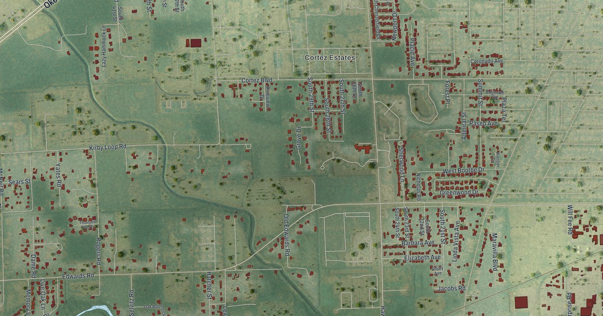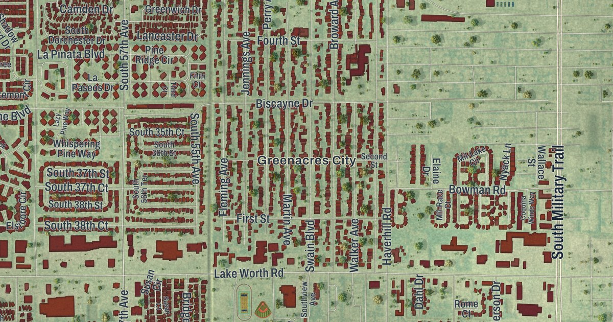
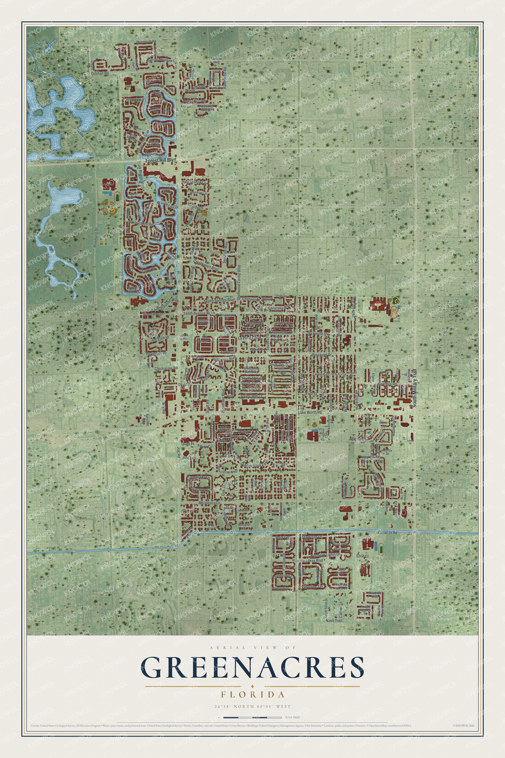
This beautifully detailed map of Greenacres, Florida was created in 2026 using aerial imagery combined with modern topographical, census, street and landmark data. It’s a one-of-a-kind view of Greenacres that combines accurate data with a vintage aesthetic. The map shows every building in its true location, many of the roads carry their names, and the shaded topographic relief shows the shape of the land.
Explore an aerial view of Greenacres, Florida
On the map you’ll find South Military Trail, Forest Hill Boulevard, South 57th Avenue, Bridgette Boulevard, 57th Avenue, Pier Drive, Perimeter Drive, Jog Park Drive, Queenship Court, River Bridge Boulevard, Bowman Road, and more. If you look closely you can even find your house accurately drawn in its correct location. Zoom in on the preview to look for yours.
Did You Know?
In 1945 the Florida Legislature abolished Greenacres City after about 125 residents petitioned for it. Mayor Charles A. Grabowski fought the law, since no town vote had been held. That December, 86 voters met and unanimously chose to reincorporate. The city was officially restored in 1947.
Take a closer look at the Greenacres map
Names on this map
These names are printed on this map.
Places: Greenacres City.
Streets and roads: South Military Trail, Forest Hill Boulevard, South 57th Avenue, Bridgette Boulevard, 57th Avenue, Dubbin Drive East, Pier Drive, Perimeter Drive, Jog Park Drive, Queenship Court, River Bridge Boulevard, Bowman Road.
More street names, A to Z
14th Lane, 21st Lane, 22nd Lane, 24th Lane, 30th Lane, 52nd Court, 52nd Drive South, 56th Terrace South, 66th Terrace South, Albin Drive, American Azalea Lane, Appian Way, Arbor Lakes Road, Aurora Lakes Circle, Avion Circle, Baja Terrace, Baldwin Boulevard, Bayview Road, Biscayne Boulevard, Biscayne Drive, Broward Avenue, Camden Drive, Canal 14 Road, Canalake Boulevard, Canalside Drive, Cape Cod Terrace, Cape May Lane, Caribe Court, Carmel Lane, Catalina Way, Centurian Circle, Centurian Way, Channel Drive, Chariot Circle, Chickasaw Circle, Chickasaw Road, Cleary Road, Cohune Palm Court, Colonial Boulevard, Constitution Way, Coquina Winds Way, Cove Road, Cresthaven Boulevard, Crooked Stick Way, Dahl Drive, Dans Place, Dillman Road, Dodd Road, Dubbin Drive West, Eagle Ridge Drive, Eastbay Drive, Egret Circle, Egret Lake Drive, Elaine Drive, Elsinore Circle, Empire Way, Erik Way, Fairway Circle, Fifth Court, Fire Sky Drive, First Lane, First Street, Fleming Avenue, Flory Drive, Fourth Lane, Fourth Street, Foxtail Drive, Foxtail Palm Court, Gardner Lane, Gladiator Circle, Glentree Lane, Grand Banks Boulevard, Grandiflora Drive, Greenwich Drive, Hammocks Drive, Harbor Lake Circle, Hatteras Circle, Haverhill Road, Heather Drive East, Inlet Circle, Island Gypsy Drive, Island Manor Drive, Island Shores Drive, Island Way, Jackson Avenue, Jennings Avenue, Jog Road, Keystone Way, Knotty Pine Circle, Lakemont Circle, Lake Pine Circle, Lake Worth Road, Lancaster Drive, Landar Drive, Landings Boulevard, La Paseos Drive, La Pinata Boulevard, La Rambla, Lazy Pine Way, Leland Lane, Lisa Lane, Lucerne Park Drive, Mainship Drive, Malibu Circle, Maplewood Drive, Marco Court, Martin Avenue, Meadow Lake Drive, Melaleuca Lane, Mil-Lake Circle, Mil-Race Court, Mill Brook Way Circle, Monmouth Road, Monteray Way, Moon Shadow Lane, Myrtle Drive, Nash Trail, Nautica Lake Circle, Nautica Lakes Boulevard, Nicia Way, Night Heron Court, Northern Lights Drive, Nyack Lane, Oak Terrace Drive, Olive Tree Boulevard, Olive Tree Circle, Olivewood Circle, Olympic Circle, Osage Circle, Osprey Woods Lane, Parkside Green Drive, Parkway Court, Patrick Way, Perry Avenue, Pine Avenue, Pine Boulevard, Pine Circle, Pine Court, Pine Glen Lane, Pine Hov Circle, Pinehurst Drive, Pine Ridge Circle, Pinewood Court, Pinewood Lake Court, Pointe Circle, Polaris Cv, Pond Pine Way, Private Place, Purdy Lane, Quiet Place, Rachael Road, Rainbow Circle, Rainbow Drive, Ranchette Road, Raulerson Drive, Red Cedar Circle, Red Pine Lane, Rising Comet Lane, Rome Court, Rosewood Lane, Sabreline Terrace, Salmon Isle, Sawgrass Circle, Scott Road, Sea Pine Way, Second Street, Seminole Palms Drive, Seven Springs Boulevard, Shadow Wood Drive, Shady Pine Way, Sherwood Forest Boulevard, Silver Moon Lane, Sky Pine Way, Snowy Egret Lane, Solar Point Drive, Soundings Court, South 33rd Court, South 35th Court, South 36th Street, South 37th Court, South 37th Street, South 38th Court, South 38th Street, South 52nd Drive, South 55th Avenue, South 56th Terrace, South Dorchester Drive, South Eric Circle, Southview Avenue, Spring Meadow Drive, Starblaze Drive, Stonecreek Street, Summer Sky Lane, Summit Boulevard, Suncrest Road, Sunland Court, Sunny Pine Way, Susan Circle, Susan Court, Swain Boulevard, Tall Cypress Circle, Tenth Avenue North, Third Court, Timberlane Circle, Trail End, Two Pine Drive, Walker Avenue, Wallace Street, Waters Edge Circle, Waterway Village Court, Wedgewood Circle, Wedgewood Lakes South, Wellcraft Drive, Wellman Trail, Whispering Pine Way, White Pine Circle, Windmill Way, Wishing Star Lane, Woodfield Road, Woodlake Boulevard, Woodlake Circle, Woodwind Court, Wry Road.
See it on a wall
The Greenacres map as a framed print. Swipe for more.


This beautifully detailed map of Greenacres makes an attractive addition to your office, library, or den, and it can even be used to teach children the geography and history of the area. It also makes a great gift for anyone who grew up in Greenacres or moved away. When you’re done exploring, click here to get your copy of the Greenacres map.