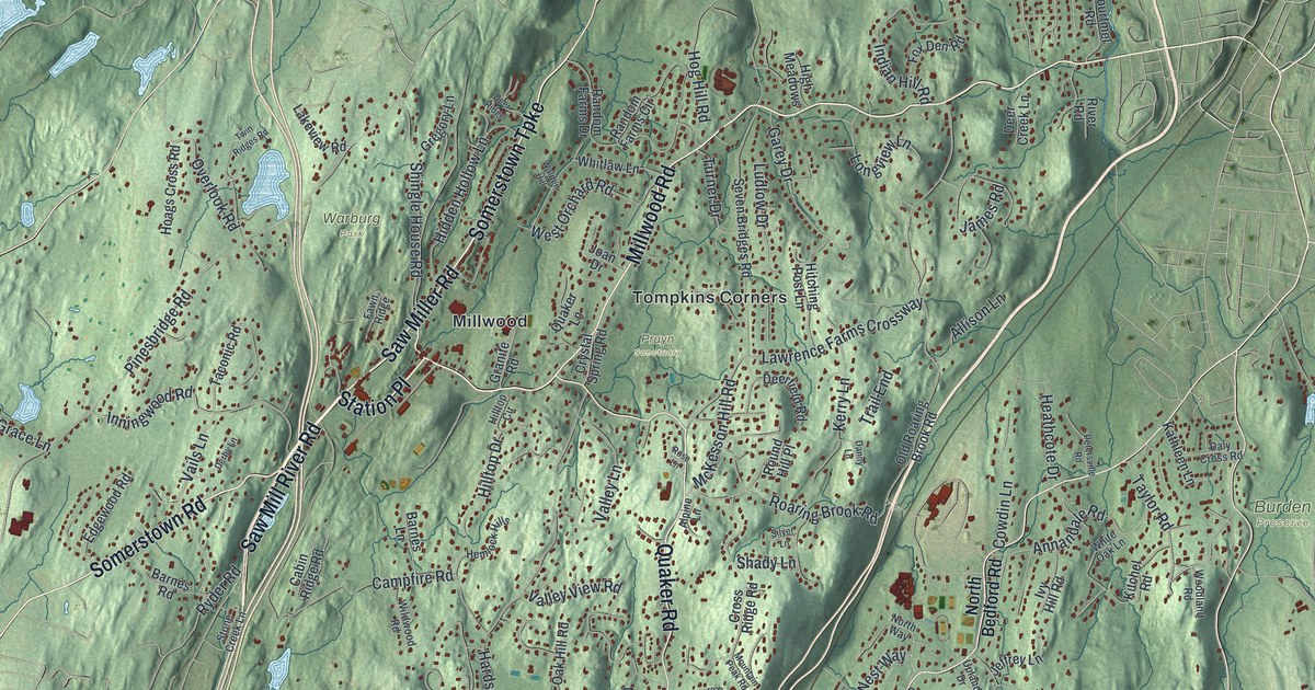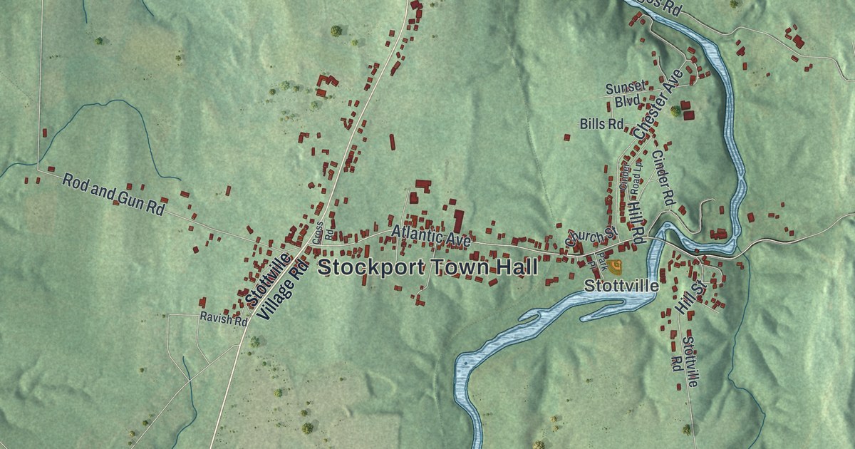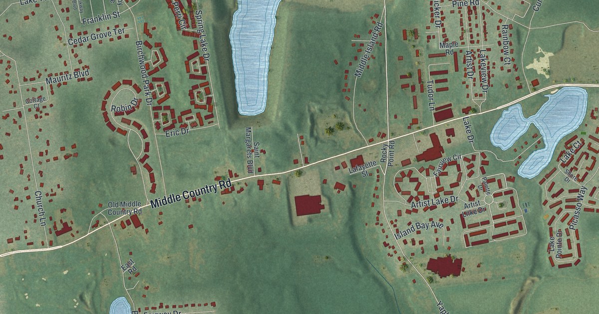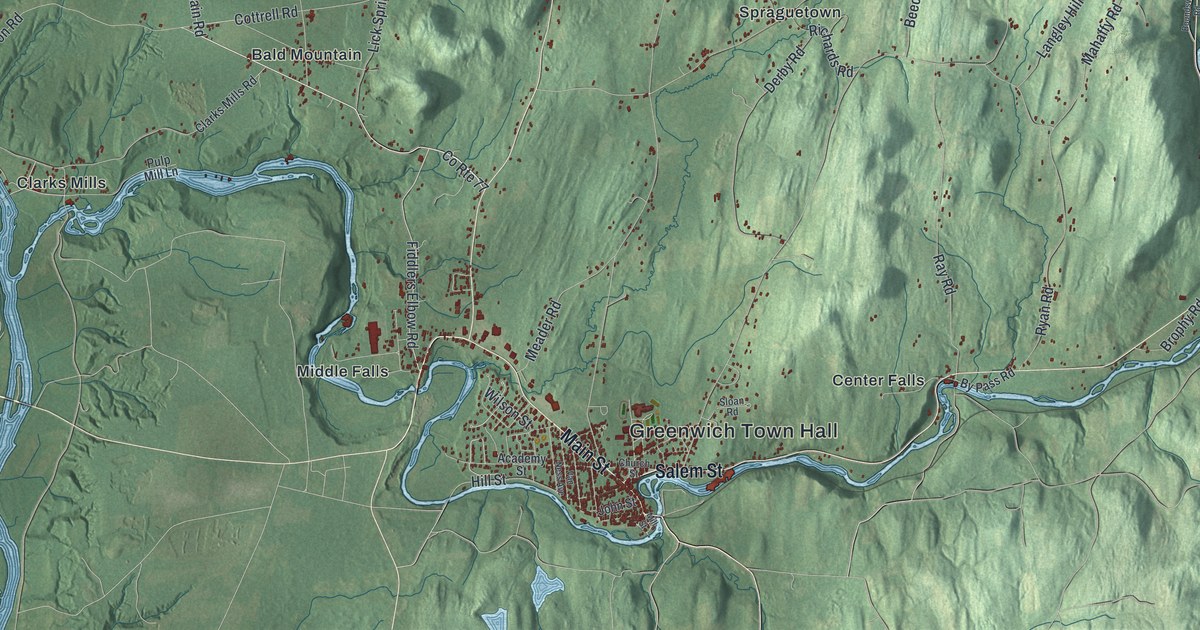
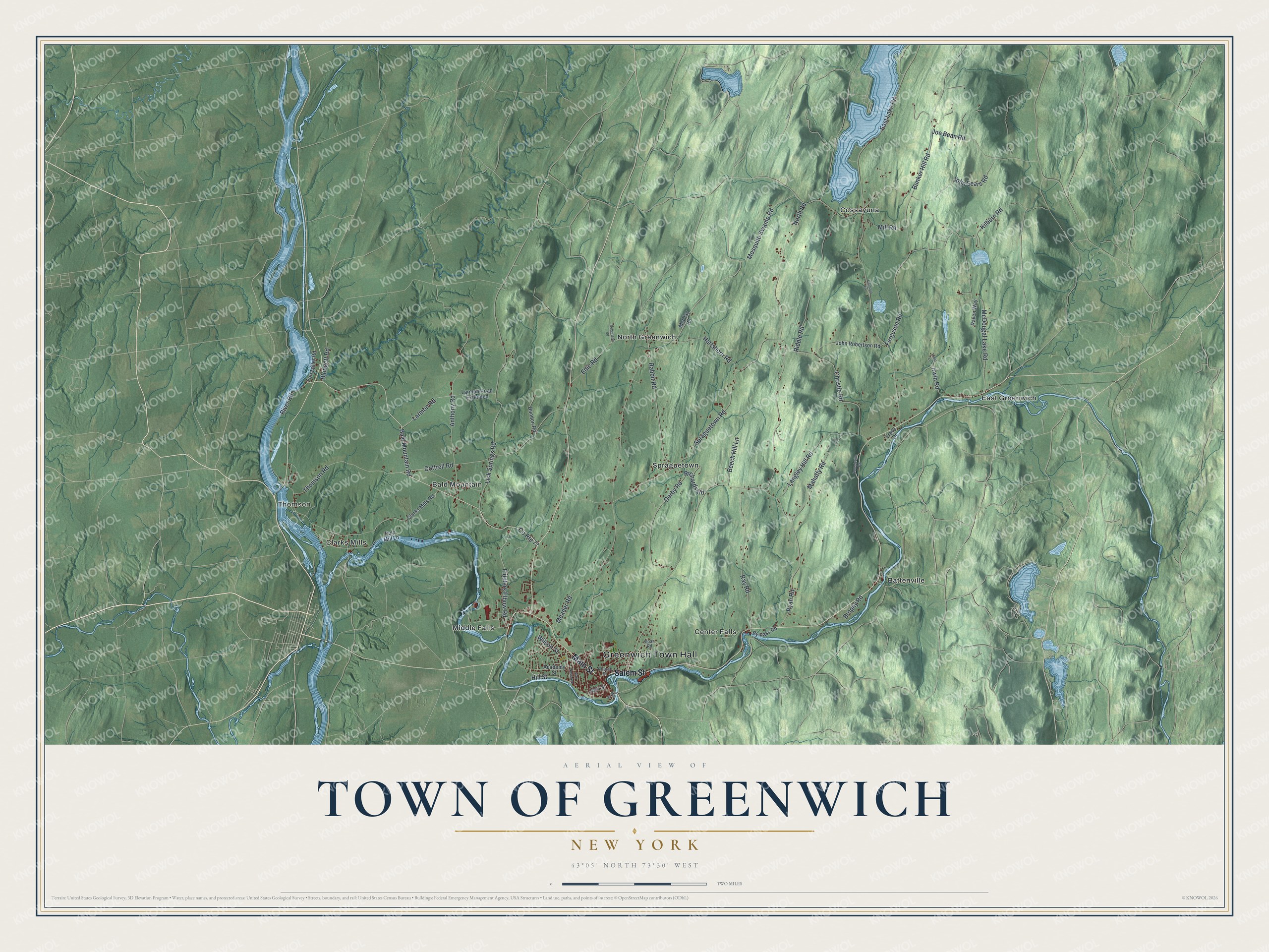
This beautifully detailed map of the Town of Greenwich, New York was created in 2026 using aerial imagery combined with modern topographical, census, street and landmark data. It’s a one-of-a-kind view of the Town of Greenwich that combines accurate data with a vintage aesthetic. The map shows every building in its true location, many of the roads carry their names, and the shaded topographic relief shows the shape of the land.
Explore an aerial view of the Town of Greenwich, New York
On the map you’ll find Greenwich Town Hall, Thomson, Bald Mountain, Battenville, Center Falls, and Clarks Mills, along with Main Street, Salem Street, Fiddlers Elbow Road, Hartshorn Road, and more. If you look closely you can even find your house accurately drawn in its correct location. Zoom in on the preview to look for yours.
Did You Know?
Greenwich’s village began as Whipple City. It took the name Union Village in 1809 and became Greenwich in 1867. Several homes in town were stops on the Underground Railroad. A historical marker in Mowry Park shows where the old safe houses stood.
Take a closer look at the Town of Greenwich map
Names on this map
These names are printed on this map.
Places: Greenwich Town Hall, Thomson, Bald Mountain, Battenville, Center Falls, Clarks Mills, Cossayuna, East Greenwich, Middle Falls, North Greenwich and Spraguetown.
Streets and roads: Main Street, Salem Street, Fiddlers Elbow Road, Hartshorn Road, County Route 77, Bald Mountain Road, Larmon Road, North Road, Spraguetown Road, Lick Springs Road, Anthony Road, Bunker Hill Road.
More street names, A to Z
Academy Street, Beech Hill Lane, Blodgett Road, Boundsville Road, Brophy Road, By Pass Road, Calhoun Lane, Christie Road, Church Street, Clarks Mills Road, Cottrell Road, Derby Road, Dundon Road, East Lake Road, Edie Road, Ferguson Road, Fort Miller Road, Hill Street, Irwin Lane, Irwin Road, Joe Bean Road, John Robertson Road, John Sears Road, John Street, Kilburn Road, Langley Hill Road, Larmon Road Extended, Mahaffy Road, McClay Road, McDougal Lake Road, Meader Road, Mill Road, Mill Street, Mosquito Swamp Road, Pulp Mill Lane, Rabbit Road, Raven Way, Ray Road, Richards Road, Riddle Road, River Road, Robertson Road, Ryan Road, Sloan Road, Thomson Road, Tracy Drive, Van Ness Avenue, Wilson Street.
See it on a wall
The Greenwich map as a framed print. Swipe for more.


This beautifully detailed map of the Town of Greenwich makes an attractive addition to your office, library, or den, and it can even be used to teach children the geography and history of the area. It also makes a great gift for someone who left the Town of Greenwich and still calls it home. When you’re done exploring, click here to get your copy of the Town of Greenwich map.