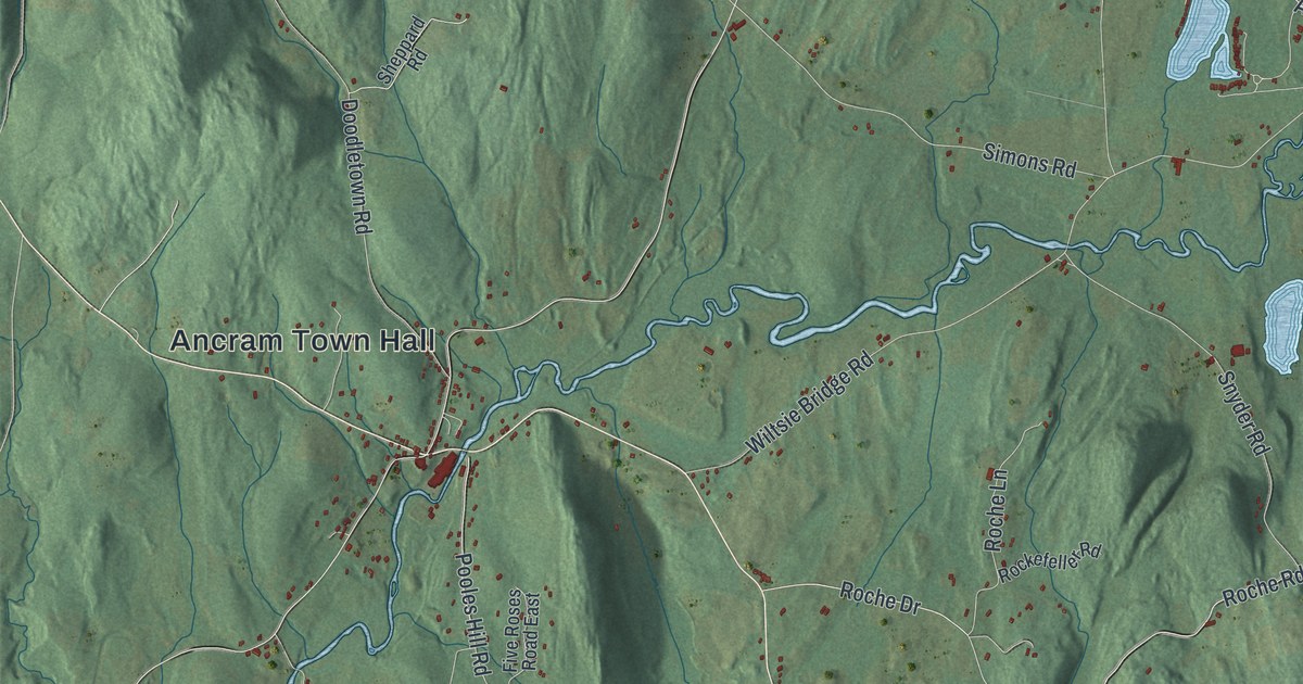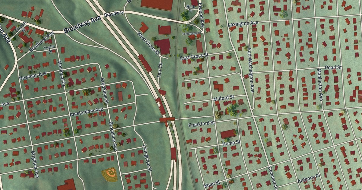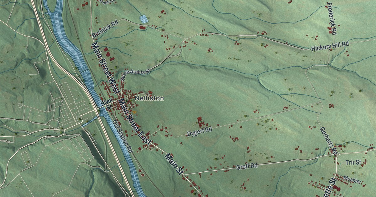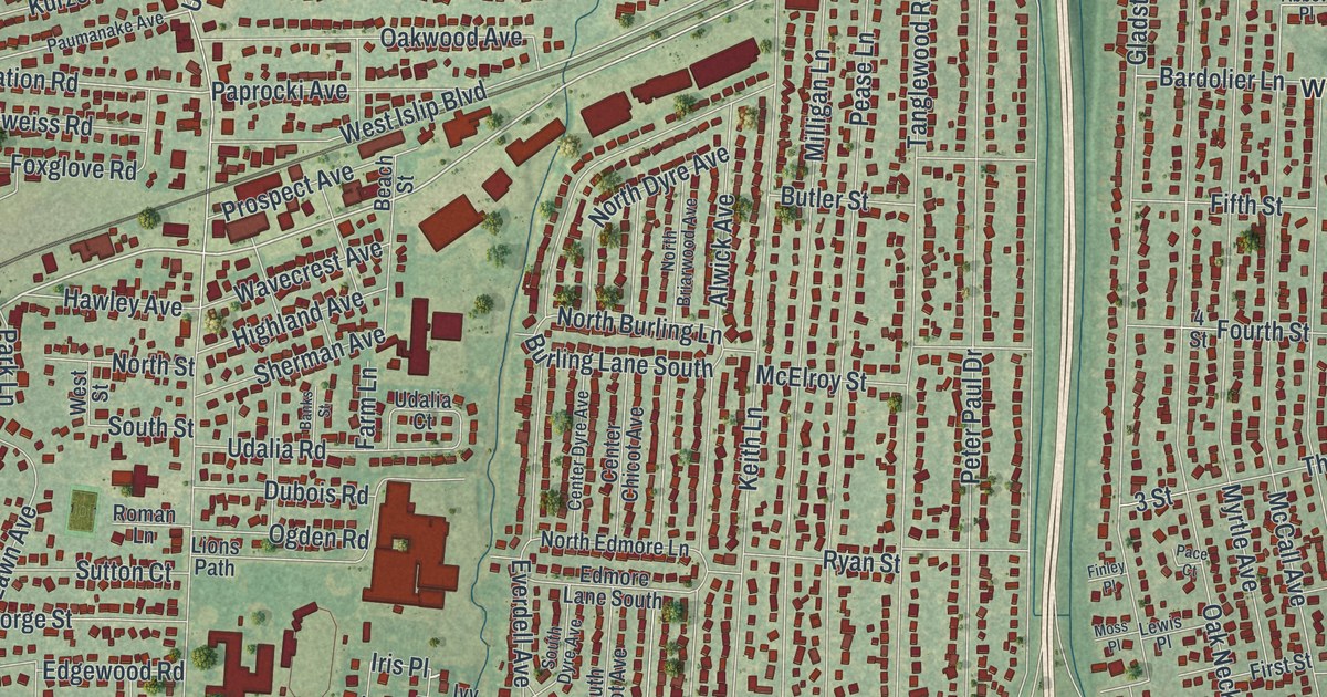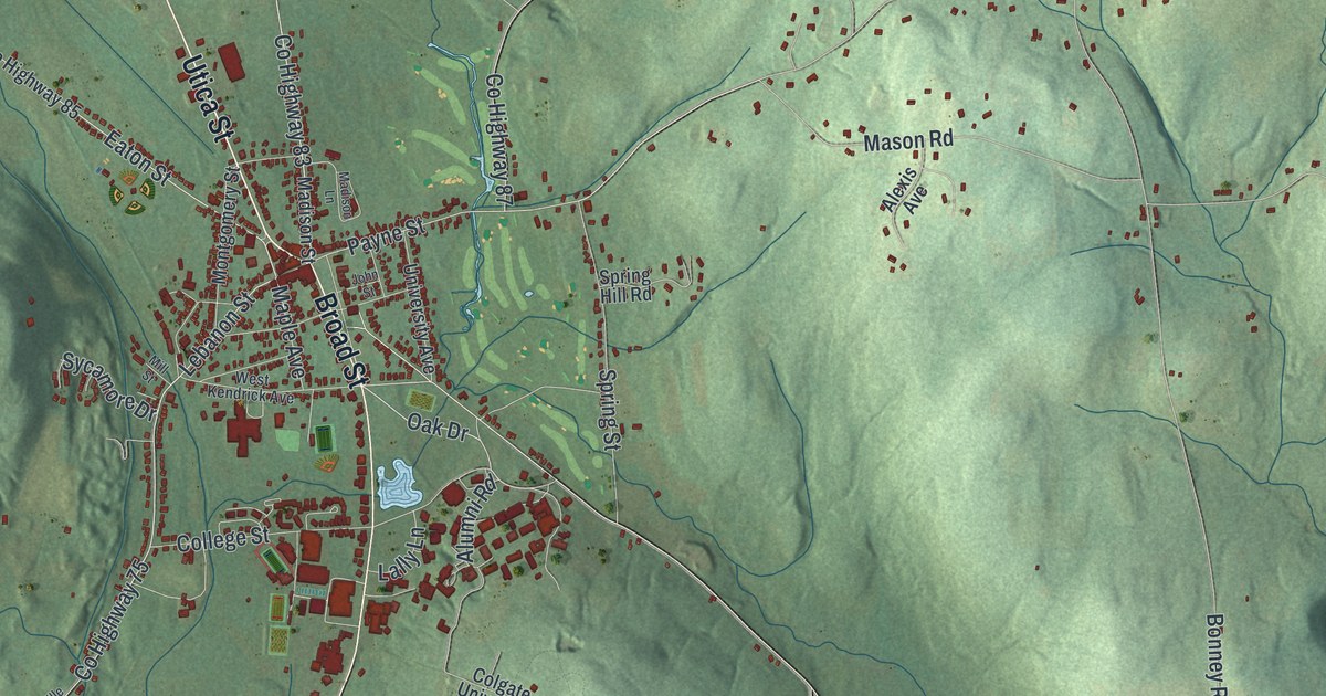
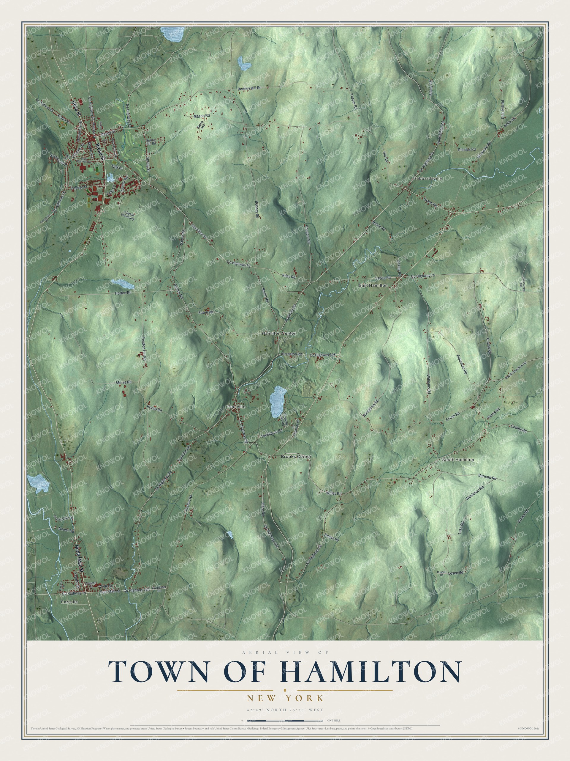
This beautifully detailed map of the Town of Hamilton, New York was created in 2026 using aerial imagery combined with modern topographical, census, street and landmark data. It’s a one-of-a-kind view of the Town of Hamilton that combines accurate data with a vintage aesthetic. The map shows every building in its true location, many of the roads carry their names, and the shaded topographic relief shows the shape of the land.
Explore an aerial view of the Town of Hamilton, New York
On the map you’ll find Earlville, South Hamilton, Hubbardsville, Brooks Corner, and East Hamilton, along with Utica Street, Broad Street, Main Street, Green Road, Poolville Road, and more. If you look closely you can even find your house accurately drawn in its correct location. Zoom in on the preview to look for yours.
Did You Know?
Hamilton was once known as Payne’s Corners. The town was set off from Paris in 1795 and took the name of Founding Father Alexander Hamilton. In 1890, a Masonic order known as the Veiled Prophets of the Enchanted Realm was founded here.
Take a closer look at the Town of Hamilton map
Names on this map
These names are printed on this map.
Places: Earlville, South Hamilton, Hubbardsville, Brooks Corner, East Hamilton, Hamilton Center and Poolville.
Streets and roads: Utica Street, Broad Street, North Main Street, County Highway 89, Green Road, Poolville Road, County Highway 88, Willey Road, Oak Drive, County Highway 14, Humphrey Road, East Main Street.
More street names, A to Z
Ackley Road, Albro Road, Alderman Road, Alexis Avenue, Alumni Road, Bailey Road, Barnard Road, Bonney Hill Road, Bonney Road, Borden Road, Brown Road, Carpenter Road, Chappel Road, Clyde Street, Cole Hill Road, Colgate University, College Street, Collins Road, County Highway 72, County Highway 74, County Highway 75, County Highway 83, County Highway 85, County Highway 87, County Highway 90, County Highway 91, County Highway 95, County Highway 102, County Highway 108, Craine Lake Road, Cranston Road, Crumb Road, Earlville Road, Eaton Road, Eaton Street, Excell Road, Fayette Street, Gorton Road, Hamilton Street, Harris Road, Hill Road, Hoose Road, Horton Road, John Street, Kelly Road, Kiley Road, Lake Road, Lally Lane, Larkin Road, Lebanon Street, Losee Road, Madison Lane, Madison Street, Maple Avenue, Mason Road, Mill Street, Montgomery Street, Morse Road, Noble Road, Nower Road, Parsons Street, Payne Street, Poolville Lake Road, Preston Hill Road, Preston Street, Quarterline Road, Randallsville Road, Reese Road, Rhodes Road, Rundell Road, Sacco Road, Skaneateles Turnpike, Smith Road, South Hamilton Road, Spring Hill Road, Spring Street, Sycamore Drive, Tackabury Road, Thayer Road, University Avenue, West Kendrick Avenue, Wickwire Road, Wilkinson Road, Williams Road.
See it on a wall
The Hamilton map as a framed print. Swipe for more.


This beautifully detailed map of the Town of Hamilton makes an attractive addition to your office, library, or den, and it can even be used to teach children the geography and history of the area. It also makes a great gift for someone who left the Town of Hamilton and still calls it home. When you’re done exploring, click here to get your copy of the Town of Hamilton map.