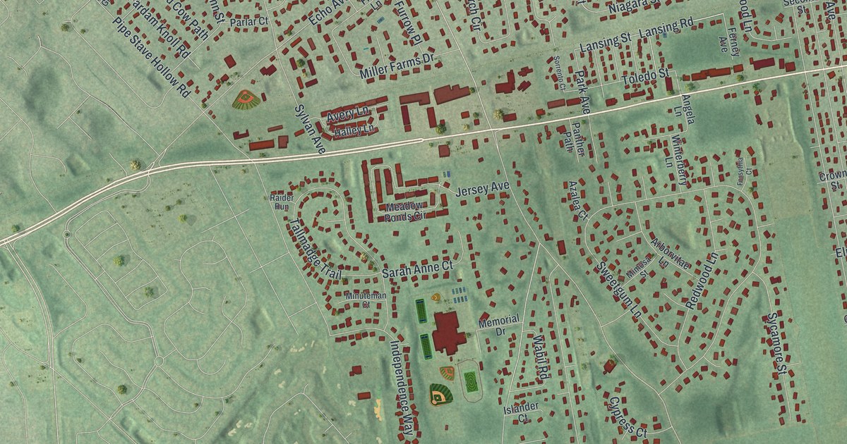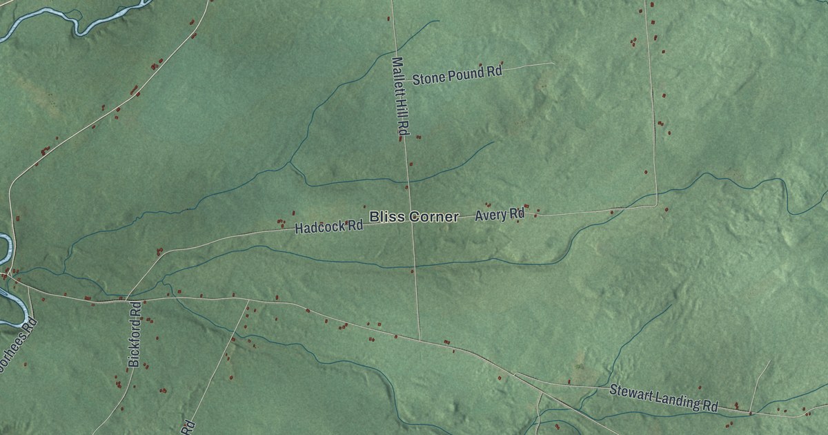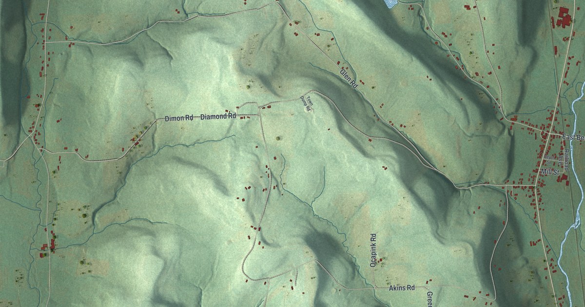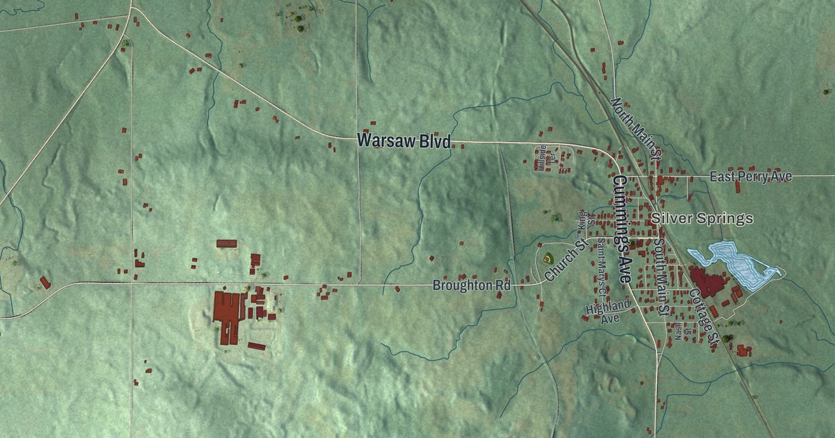
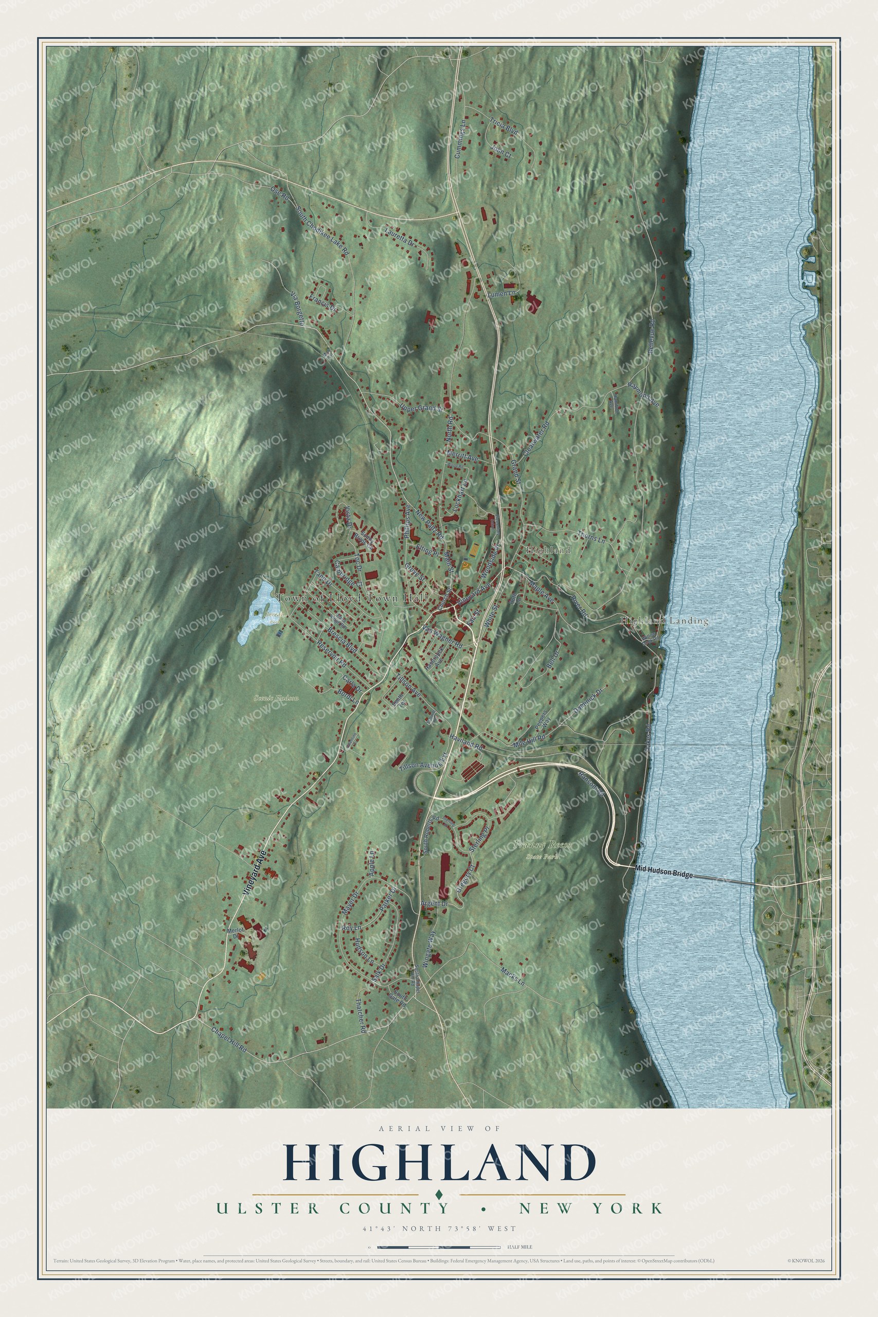
This beautifully detailed map of Highland, Ulster County, New York was created in 2026 using aerial imagery combined with modern topographical, census, street and landmark data. It’s a one-of-a-kind view of Highland that combines accurate data with a vintage aesthetic. The map shows every building in its true location, many of the roads carry their names, and the shaded topographic relief shows the shape of the land.
Explore an aerial view of Highland, Ulster County, New York
On the map you’ll find Mid Hudson Bridge, Highland Landing, Berean Park, and Franny Reese State Park, along with Vineyard Avenue, River Road, Phillips Avenue, New Paltz Road, and more. If you look closely you can even find your house accurately drawn in its correct location. Zoom in on the preview to look for yours.
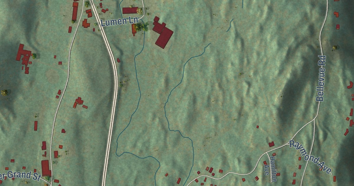
Take a closer look at the Highland, Ulster County map
Names on this map
These names are printed on this map.
Places: Town of Lloyd Town Hall, Highland Landing, Highland, Berean Park, Franny Reese State Park and Scenic Hudson.
Streets and roads: Vineyard Avenue, River Road, Phillips Avenue, New Paltz Road, Chapel Hill Road, Thorns Lane, Vista Drive, Parker Drive, Bellevue Road, North Road, Haviland Road, Mayer Drive.
More street names, A to Z
Apple Lane, Argent Drive, Bell Drive, Bordi Lane, Brescia Boulevard, Cambridge Court, Carla Drive, Church Street, Clearwater Road, Cummings Lane, Diana Ridge Road, Dominick Drive, Elementary School, Elting Place, Fair Street, Francis Drive, Grand Street, Gregory Court, Grove Street, Hamilton Avenue, Hasbrouck Avenue, Hudson Lane, John Court, Lauretta Drive, Lockhart Lane, Lumen Lane, Macks Lane, Mae Lane, Main Street, Maple Avenue, Merlot Drive, Merritt Avenue, Mid Hudson Bridge, Mile Hill Road, Oakes Road, Ose Road, Peepers Way, Ransom Road, Raymond Avenue, Reservoir Road, Roy Lane, Ruth Lane, Salk Drive, Schmidt Terrace, Smith Terrace, South Chapel Hill Road, South Chodikee Lake Road, South Gate Road, South Roberts Road, Sterling Drive, Sterling Place, Sunny Brook Circle, Tano Drive, Thatcher Road, Tillson Avenue, Tillson Avenue Extension, Toc Drive, Tricia Boulevard, Upper Grand Street, Valentino Drive, Van Wagner Road, Via Borgetto, White Street, Willow Dock Road, Wingate Way, Wood Road, Woodside Place.
See it on a wall
The Highland, Ulster County map as a framed print. Swipe for more.


This beautifully detailed map of Highland, Ulster County makes an attractive addition to your office, library, or den, and it can even be used to teach children the geography and history of the area. It also makes a great gift for anyone with Highland roots. When you’re done exploring, click here to get your copy of the Highland, Ulster County map.