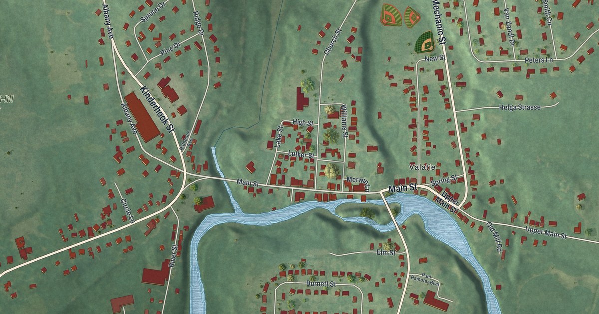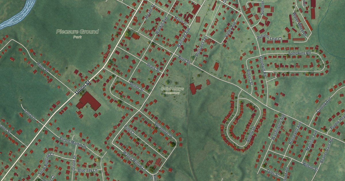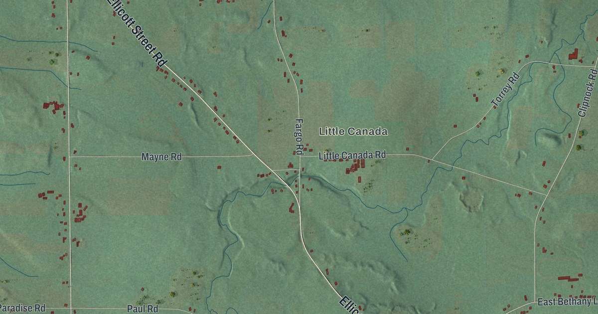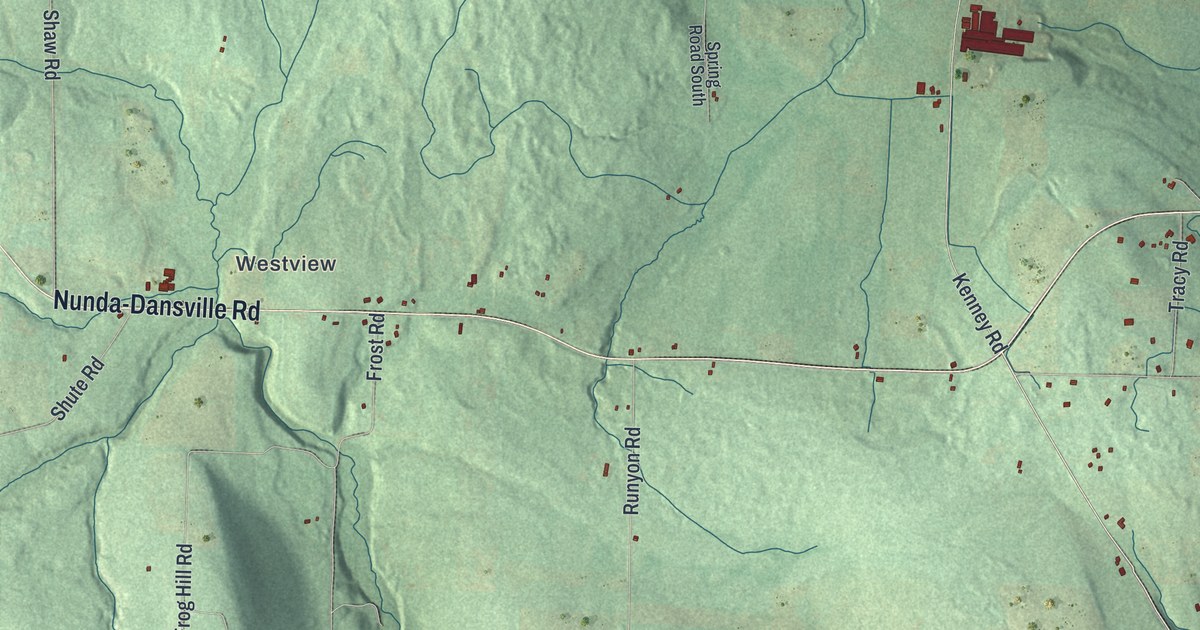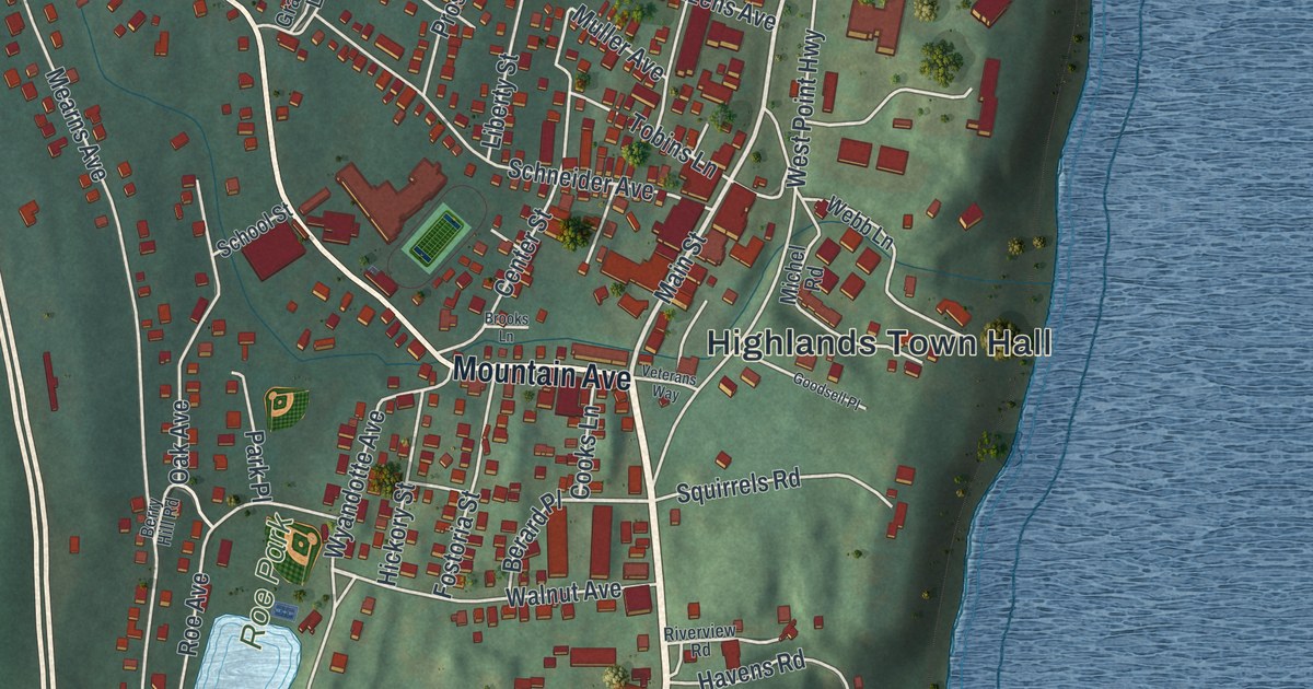
This beautifully detailed map of Highland Falls, New York was created in 2026 using aerial imagery combined with modern topographical, census, street and landmark data. It’s a one-of-a-kind view of Highland Falls that combines accurate data with a vintage aesthetic. The map shows every building in its true location, many of the roads carry their names, and the shaded topographic relief shows the shape of the land.
Explore an aerial view of Highland Falls, New York
On the map you’ll find Highlands Town Hall, Roe Park, and Union Cemetery, along with Main Street, Mountain Avenue, Walnut Avenue, Rose Drive, and more. If you look closely you can even find your house accurately drawn in its correct location. Zoom in on the preview to look for yours.
Take a closer look at the Highland Falls map
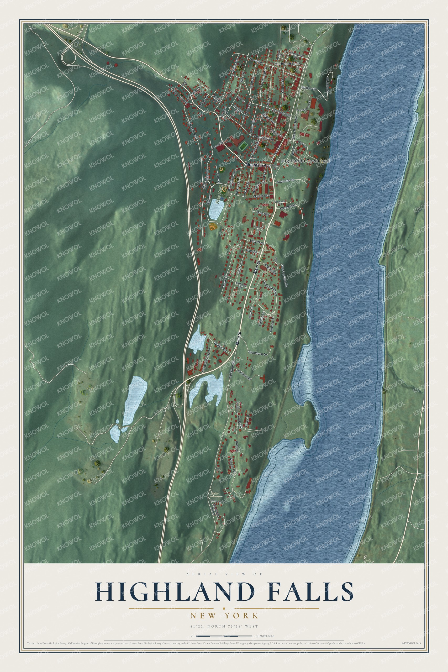
Names on this map
These names are printed on this map.
Places: Highlands Town Hall, Roe Park, Union Cemetery and Highland Falls.
Streets and roads: Main Street, Mountain Avenue, Walnut Avenue, Rose Drive, Ondaora Parkway, Cozzens Avenue, Old State Road, Mearns Avenue, West Point Highway, Roe Avenue, Kleitz Avenue, Church Street.
More street names, A to Z
Ananori Road, Berard Place, Berry Hill Road, Brooks Lane, Cedar Lane, Cemetery Road, Center Street, Clinton Lane, Cooks Lane, Dale Avenue, Drew Avenue, Drury Lane, Eagle Valley Road, Edward Street, First Street, Fort Putnam Street, Fostoria Street, Glen Road, Goodsell Place, Graziano Lane, Havens Road, Hickory Street, High Street, Hillside Avenue, Homestead Avenue, Hudson Drive, Jevens Road, Kings Road, Knox Road, Lake Street, Laurel Lane, Liberty Street, Locust Street, Michel Road, Muller Avenue, New South Post Road, Oak Avenue, Park Place, Pellwood Lake Road, Pine Terrace Road, Prospect Street, Redoubt Street, Regina Drive, Regina Road, Revolutionary Road, Riverview Road, Satterlee Road, Schneider Avenue, School Street, South Street, Squirrels Road, Station Hill, Station Road, Stonihurst Drive, Sweezy Avenue, Tobins Lane, Veterans Way, Villa Parkway, Walker Road, Webb Lane, West Street, Weyant Terrace, Wilson Court, Winhaven Court, Wp Mobile Homes, Wyandotte Avenue.
See it on a wall
The Highland Falls map as a framed print. Swipe for more.


This beautifully detailed map of Highland Falls makes an attractive addition to your office, library, or den, and it can even be used to teach children the geography and history of the area. It also makes a great gift for someone who left Highland Falls and still calls it home. When you’re done exploring, click here to get your copy of the Highland Falls map.