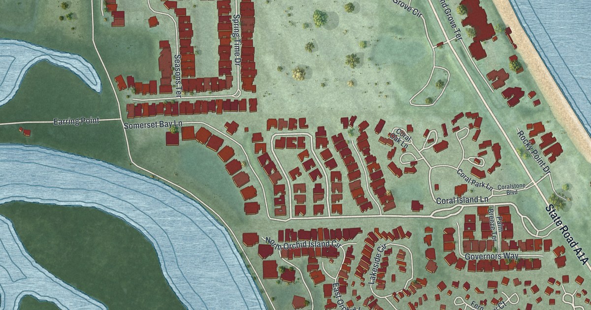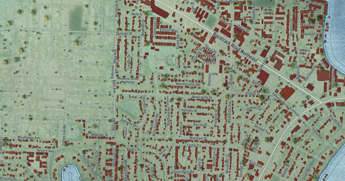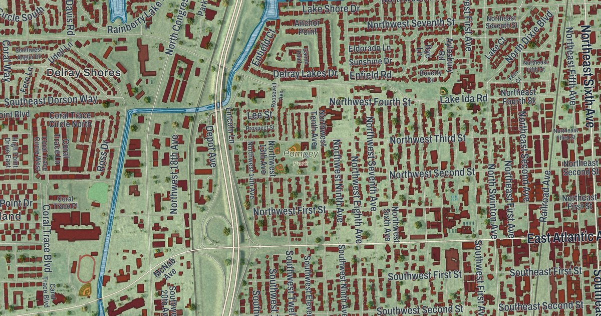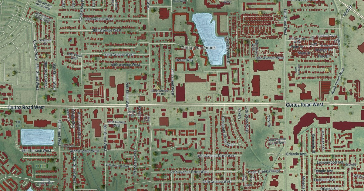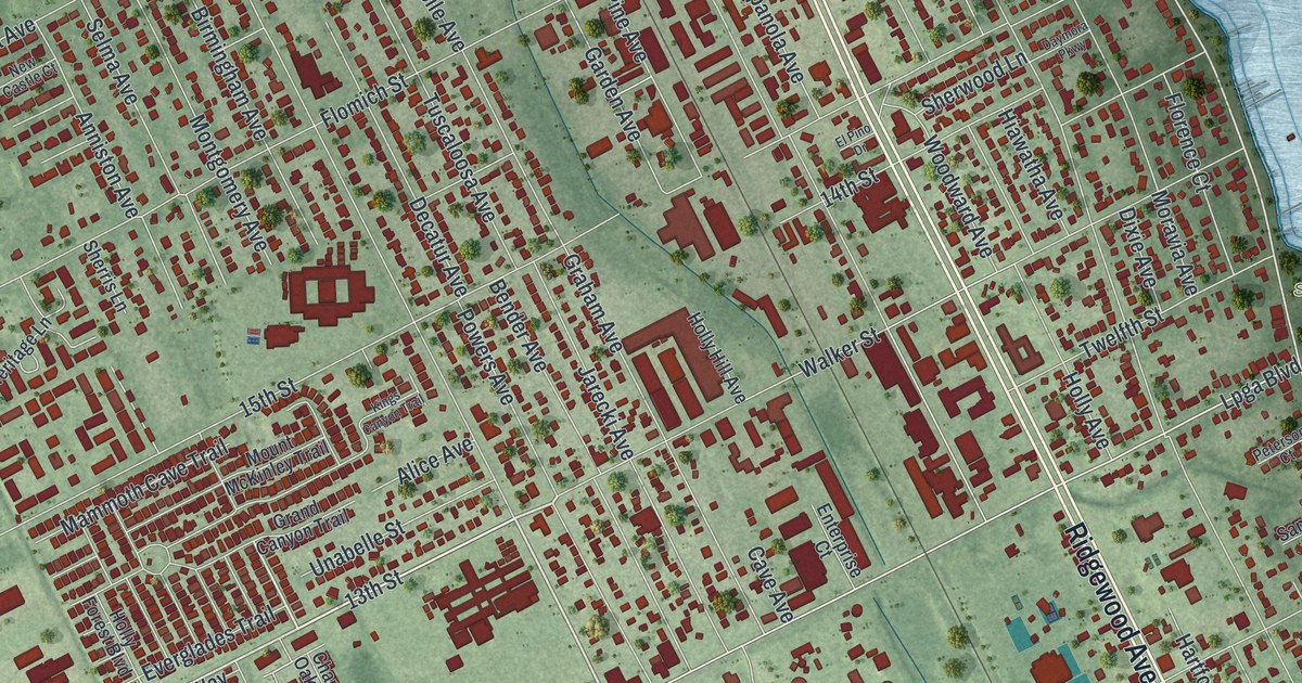
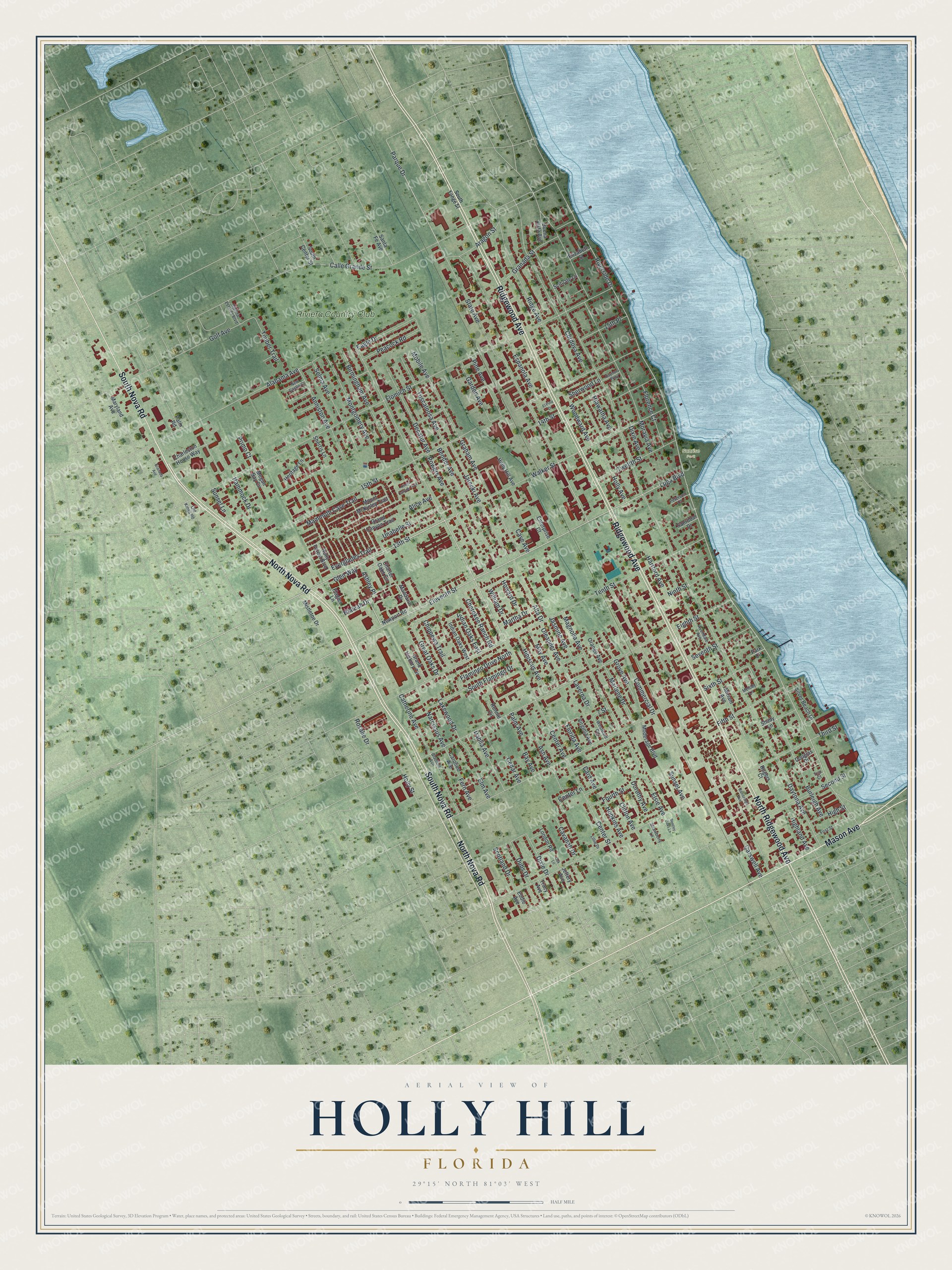
This beautifully detailed map of Holly Hill, Florida was created in 2026 using aerial imagery combined with modern topographical, census, street and landmark data. It’s a one-of-a-kind view of Holly Hill that combines accurate data with a vintage aesthetic. The map shows every building in its true location, many of the roads carry their names, and the shaded topographic relief shows the shape of the land.
Explore an aerial view of Holly Hill, Florida
On the map you’ll find Sunrise Park and Riviera Country Club, along with North Nova Road, Ridgewood Avenue, South Nova Road, North Ridgewood Avenue, Mason Avenue, Center Street, Walker Street, 13th Street, Hialeah Drive, Parque Drive, and more. If you look closely you can even find your house accurately drawn in its correct location. Zoom in on the preview to look for yours.
Did You Know?
Holly Hill became a city on July 1, 1901. Residents first sought incorporation for a practical reason. They wanted the power to make local owners of razorback hogs keep their animals penned up.
Take a closer look at the Holly Hill map
Names on this map
These names are printed on this map.
Places: Sunrise Park and Riviera Country Club.
Streets and roads: North Nova Road, Ridgewood Avenue, South Nova Road, North Ridgewood Avenue, Mason Avenue, Center Street, Walker Street, 13th Street, Hialeah Drive, Parque Drive, Riverside Drive, Lpga Boulevard.
More street names, A to Z
7 Street, 14th Street, 15th Place, 15th Street, Alabama Avenue, Alice Avenue, Alta Drive, Anniston Avenue, Aragon Street, Ash Avenue, Ashley Place, Avondale Avenue, Bainbridge Avenue, Bay Avenue, Bender Avenue, Bentley Oaks Lane, Birmingham Avenue, Buena Vista Avenue, Burleigh Avenue, Calle Grande Street, Card Avenue, Caroline Avenue, Carswell Avenue, Catherine Avenue, Cavanah Drive, Cave Avenue, Cedar Avenue, Center Avenue, Center Lane, Charleston House Way, Charter Oaks Circle, Cherokee Ranch Road, Chippewa Trail, Clifton Avenue, Commercial Drive, Cordova Avenue, Dahlia Avenue, Daymora Parkway, Daytona Avenue, Decatur Avenue, Dixie Avenue, Dixie Drive, Dorothy Avenue, Douglas Drive, Dubs Drive, Eagle Drive, Eddie Avenue, Eighth Street, Eleventh Street, Elizabeth Street, Elm Avenue, El Pino Drive, Elsie Avenue, Enterprise Court, Espanola Avenue, Everglades Trail, Fern Avenue, Fifth Street, First Street, Flagler Lane, Flamingo Drive North, Flomich Street, Florence Court, Florida Avenue, Fourth Street, Garden Avenue, Gladiola Avenue, Glen Way, Golf Avenue, Graham Avenue, Granada Avenue, Granada Street, Grand Canyon Trail, Grand Hickory Circle, Great Oaks Drive, Grove Avenue, Hammock Drive, Hartford Avenue, Heritage Lane, Hiawatha Avenue, Hibiscus Avenue, Highland Avenue, High Street, Holly Avenue, Holly Forest Boulevard, Holly Hill Avenue, Holly Street, Hopkins Avenue, Howard Drive, Indian Oaks East, Indian Oaks West, Jarecki Avenue, Jasmine Avenue, Jeffery Avenue, Kings Canyon Trail, Lakewood Drive, Laverna Drive, Lillie Drive, London Road, Magnolia Avenue, Mammoth Cave Trail, Mandarin Drive, Marlene Drive, Martha Drive, Maryland Avenue, May Avenue, Megan Bay Circle, Melody Lane, Miriam Avenue, Mistletoe Drive, Mobile Avenue, Moderage Boulevard, Montgomery Avenue, Moravia Avenue, Mount McKinley Trail, Narcissus Avenue, New Castle Court, Newport Road, Ninth Street, Oak Lane, Old Kings Road, Oleander Avenue, Orange Avenue, Palm Avenue, Palm Road, Park Circle, Peacock Road, Peterson Court, Pine Avenue, Powers Avenue, Primo Court, Ridge Avenue, Riviera Estates Boulevard, Rogers Court, Ronnie Circle, Rosalie Drive, Sanrobar Drive, Santa Fe Avenue, Scituate Lane, Scotland Drive, Second Street, Selma Avenue, Seventh Street, Shady Lane, Sherris Lane, Sherwood Lane, Silver Beach Drive, Sixth Street, South Center Street, South Flamingo Drive, South Yonge Street, State Avenue, Strawberry Lane, Sunset Avenue, Sunset Lane, Tenth Street, Third Street, Timber Trail, Tracy Avenue, Trio Court, Tuscaloosa Avenue, Twelfth Street, Unabelle Street, Virginia Avenue, Westward Circle, William Drive, Woodward Avenue.
See it on a wall
The Holly Hill map as a framed print. Swipe for more.


This beautifully detailed map of Holly Hill makes an attractive addition to your office, library, or den, and it can even be used to teach children the geography and history of the area. It also makes a great gift for anyone with Holly Hill roots. When you’re done exploring, click here to get your copy of the Holly Hill map.