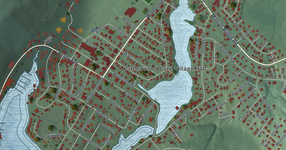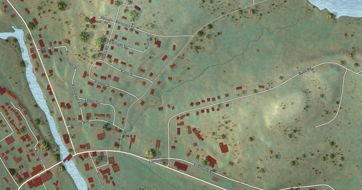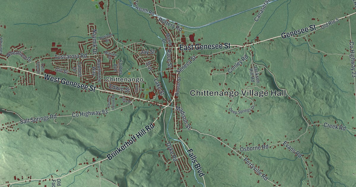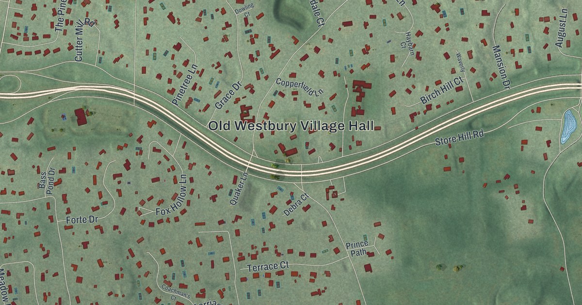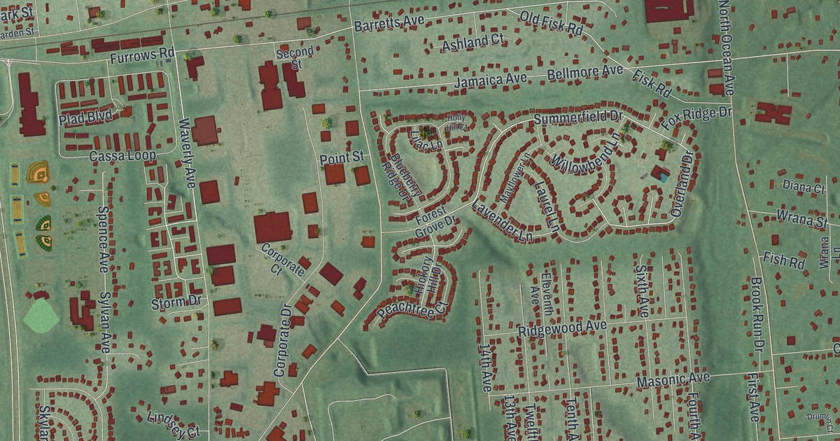
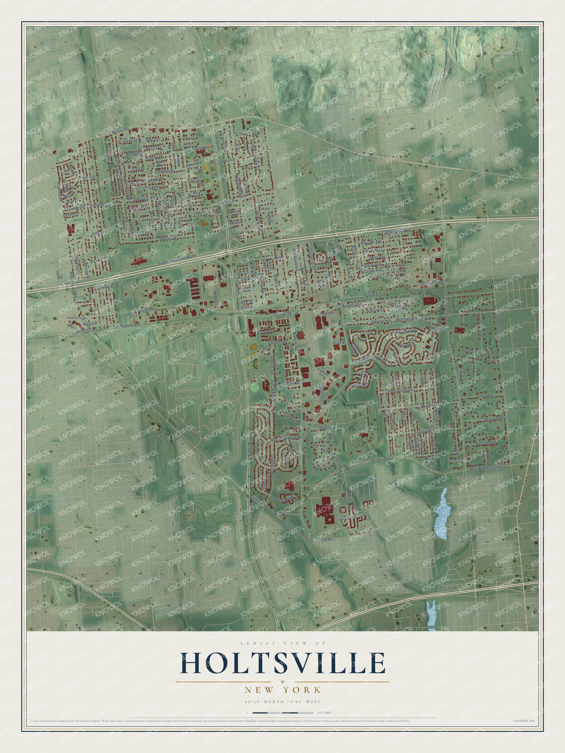
This beautifully detailed map of Holtsville, New York was created in 2026 using aerial imagery combined with modern topographical, census, street and landmark data. It’s a one-of-a-kind view of Holtsville that combines accurate data with a vintage aesthetic. The map shows every building in its true location, many of the roads carry their names, and the shaded topographic relief shows the shape of the land.
Explore an aerial view of Holtsville, New York
On the map you’ll find Holbrook, along with Portion Road, Storm Drive, Blue Point Road, Barretts Avenue, Summerfield Drive, and more. If you look closely you can even find your house accurately drawn in its correct location. Zoom in on the preview to look for yours.
Did You Know?
Holtsville was first called Waverly, for the Long Island Rail Road station that opened in 1843. New York already had a Waverly post office. So in 1860 the hamlet took the name of U.S. Postmaster General Joseph Holt. The station kept the old name until farmers found their freight shipped upstate by mistake.
Take a closer look at the Holtsville map
Names on this map
These names are printed on this map.
Places: Holbrook.
Streets and roads: Portion Road, Storm Drive, Blue Point Road West, Barretts Avenue, Summerfield Drive, Overland Drive, Nicolls Road, Waverly Avenue, Expressway Drive, North Ocean Avenue, Washington Avenue, Long Island Avenue.
More street names, A to Z
2 Avenue, 3 Street, 13th Avenue, 14th Avenue, Abner Drive, Albermarle Avenue, Alloy Court, All Points Drive, All Points Terrace, Ann Lane, Ashland Court, Aster Avenue, Astro Court, Atlantic Street, Avalon Court, Babylon Street, Bayou Court, Bayside Avenue, Bea Avenue, Bellmore Avenue, Berwyn Drive, Blossom Avenue, Blueberry Ridge Drive, Blue Point Road, Blue Point Road East, Borman Court, Brian Avenue, Broadway, Broadway Avenue, Brook Run Drive, Buckley Road, Campus Lane, Cara Drive, Cassa Loop, Cedar Avenue, Cherry Avenue, Cheshire Drive, Claremont Avenue, Coed Lane, Concord Drive, Cooke Avenue, Corporate Court, Corporate Drive, Cottage Drive, Cougar Court, Country Greens Drive, Croydon Avenue, Cynthia Drive, Danbury Avenue, David Melo Drive, Dayton Avenue, Deera Lane, Devon Avenue, Diana Court, Division Street, Dog Lane, Drumlin Court, Eighth Avenue, Elan Lane, Eleventh Avenue, Essex Drive, Expressway Drive North, Faculty Lane, Fairfax Drive, Fairview Avenue, Fenwick Avenue, Fifth Avenue, Fifth Street, First Avenue, Fish Road, Fisk Road, Floral Avenue, Flower Avenue, Forest Grove Drive, Fourth Avenue, Fourth Street, Fox Ridge Drive, Frances Boulevard, Furrows Road, Gaines Drive, Garden Street, Gazebo Lane, Gerald Drive, Glen Avenue, Glen Hollow Drive, Glide Lane, Greenbelt Parkway, Greenbriar Avenue, Greenbrier Avenue, Gregory Court, Hackberry Lane, Halfcircle Drive, Haspel Lane, Hickory Hill Drive, Hillberry Lane, Holbrook Road, Holbrook Road South, Holly Hill Court, Honeysuckle Lane, Hopes Avenue, Iris Avenue, Islip Street, Ithaca Avenue, Jamaica Avenue, Jamaica Street, Jefferson Avenue, Jenny Lane, Jenny Path, Jewel Drive, Joan Court, Joy Place, Katie Drive, Kayron Drive, Kimberly Avenue, Kocsis Street, Kruetz Lane, Lakeside Drive, Lakeview Avenue, Laurel Lane, Lavender Lane, Leonard Street, Lilac Lane, Linden Avenue, Lindsey Court, Log Road, London Street, Lowell Avenue, Madison Avenue, Main Street, Maison Drive, Maplecrest Drive South, Mary Lu Drive, Masonic Avenue, Mayflower Lane, Michele Court, Middle Avenue, Mineola Street, Monaco Court, Monte Court, Morris Avenue, Ninth Avenue, Oaklake Lane, Old Fisk Road, Old Medford Avenue, Paris Avenue, Park Street, Patchogue-Holbrook Road, Patchogue Holbrook Road, Peachtree Court, Pearl Avenue, Pearl Street, Peconic Avenue, Pepperidge Court, Pia, Pine Street, Plad Boulevard, Point Street, Prince Street, Priscilla Avenue, Railroad Avenue, Ridgewood Avenue, Rockaway Street, Rosedale Avenue, Rosedale Street, Ross Street, Rudder Drive, Second Street, Seventh Avenue, Seventh Street, Sixth Avenue, Sixth Street, Skylark Drive, Space Avenue, Spence Avenue, Spiral Road, Susan Court, Sweetbriar Court, Sylvan Avenue, Sylvan Drive, Tenth Avenue, Third Street, Timber Ridge Drive, Topaz Drive, Twelfth Avenue, Union Avenue, University Drive, Valley Court, Vautrin Avenue, Viola Lane, Warren Avenue, Warren Court, Webster Avenue, West Woodside Avenue, Willa Way, Williams Avenue, Willowbend Lane, Wilson Avenue, Woodbrook Circle, Woodhull Lane, Woodland Avenue, Woodside Avenue, Woodycrest Drive, Wrana Lane, Wrana Street.
See it on a wall
The Holtsville map as a framed print. Swipe for more.


This beautifully detailed map of Holtsville makes an attractive addition to your office, library, or den, and it can even be used to teach children the geography and history of the area. It also makes a great gift for anyone with Holtsville roots. When you’re done exploring, click here to get your copy of the Holtsville map.