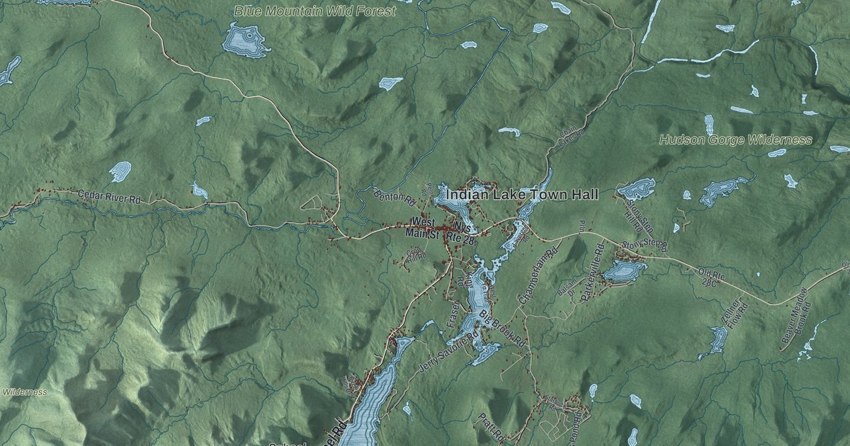
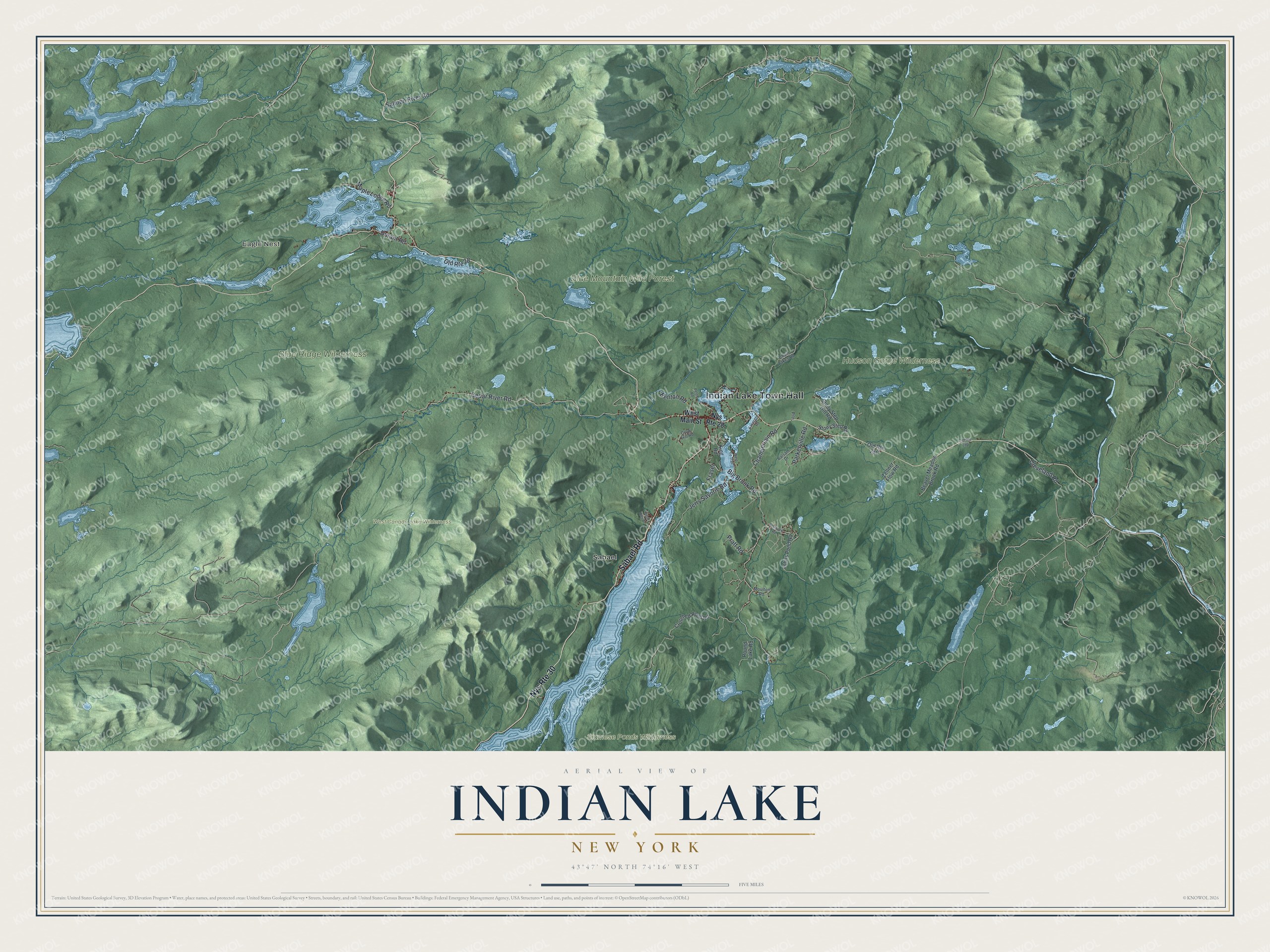
This beautifully detailed map of Indian Lake, New York was created in 2026 using aerial imagery combined with modern topographical, census, street and landmark data. It’s a one-of-a-kind view of Indian Lake that combines accurate data with a vintage aesthetic. The map shows every building in its true location, many of the roads carry their names, and the shaded topographic relief shows the shape of the land.
Explore an aerial view of Indian Lake, New York
On the map you’ll find Indian Lake Town Hall, Eagle Nest, Sabael, and Blue Mountain Wild Forest, along with Sabael Road, Main Street, Cedar River Road, Big Brook Road, and more. If you look closely you can even find your house accurately drawn in its correct location. Zoom in on the preview to look for yours.
Did You Know?
The town took its name from Indian Lake, which lies mostly within its borders. It was formed in 1858 from pieces of Gilman, Long Lake and Wells. Gilman has since disappeared as a town. Indian Lake still has no permanent stop lights.
Take a closer look at the Indian Lake map
Names on this map
These names are printed on this map.
Places: Indian Lake Town Hall, Eagle Nest, Blue Mountain Wild Forest, Blue Ridge Wilderness, Hudson Gorge Wilderness, Siamese Ponds Wilderness, West Canada Lake Wilderness and Sabael.
Streets and roads: Sabael Road, Nys Route 30, Cedar River Road, Big Brook Road, Jerry Savorie Road, Cleveland Road, Parkerville Road, Chamberlain Road, Salmon River Road, Maple Lodge Road, Durant Road, Pratt Road.
More street names, A to Z
Balsam Drive, Beaver Meadow Brook Road, Benton Road, Birch Hills Drive, Chain Lakes Road, Crotched Pond Road, Crow Hill Road, Fraser, Johns Pond Road, King Road, Lavergne Road, Moulton Road, Nys Route 28, Old Route 28, Pelon Road, Prln, Round Lake Road, Starbuck Road, Stony Step Hill Road, Stony Step Road, West Main Street, West Yo Trail, Zellner Flow Road.
See it on a wall
The Indian Lake map as a framed print. Swipe for more.


This beautifully detailed map of Indian Lake makes an attractive addition to your office, library, or den, and it can even be used to teach children the geography and history of the area. It also makes a great gift for anyone who grew up in Indian Lake or moved away. When you’re done exploring, click here to get your copy of the Indian Lake map.