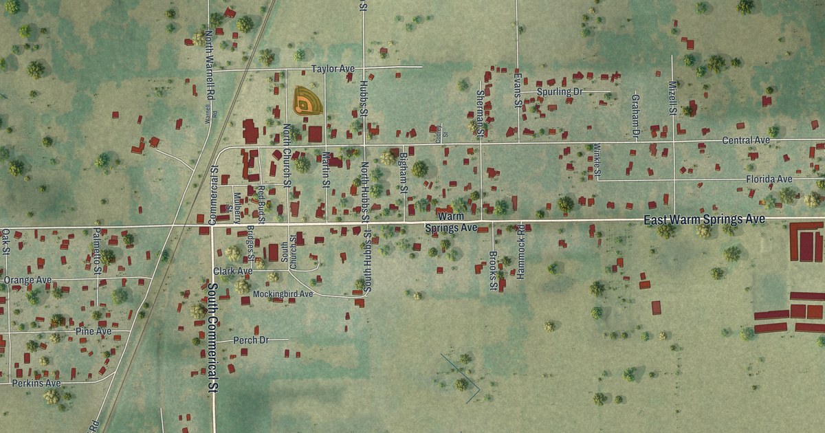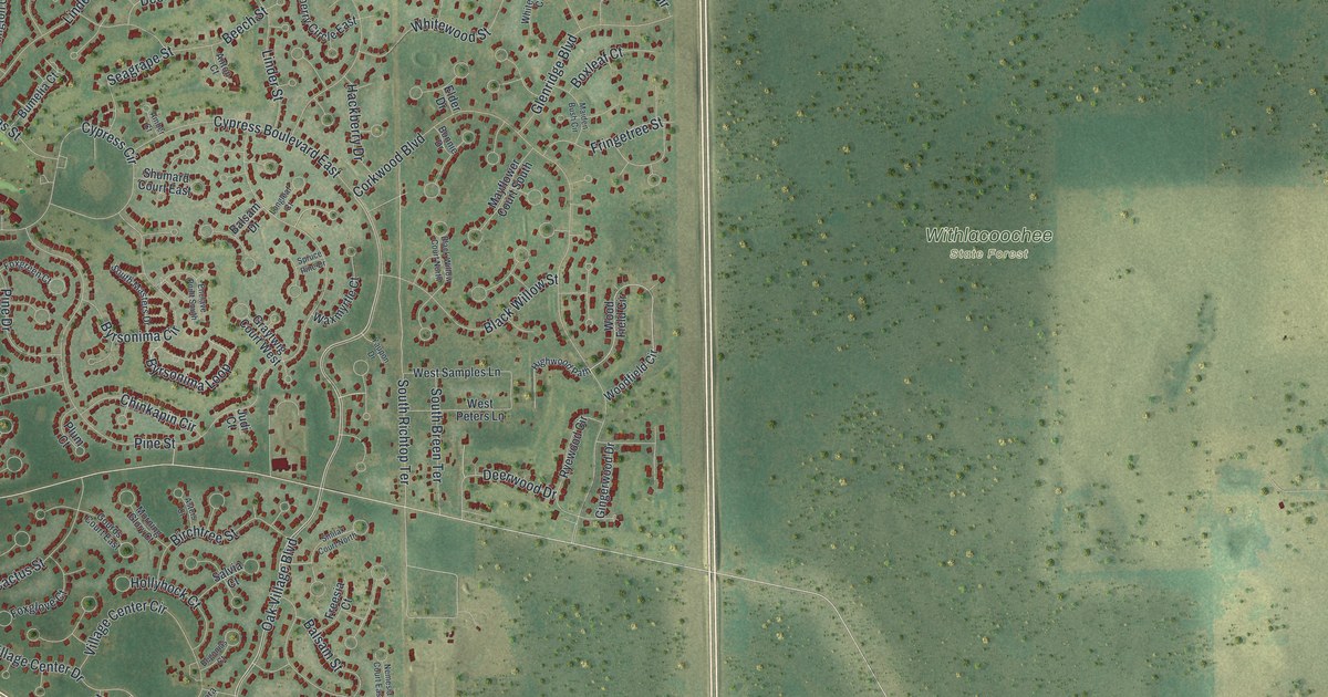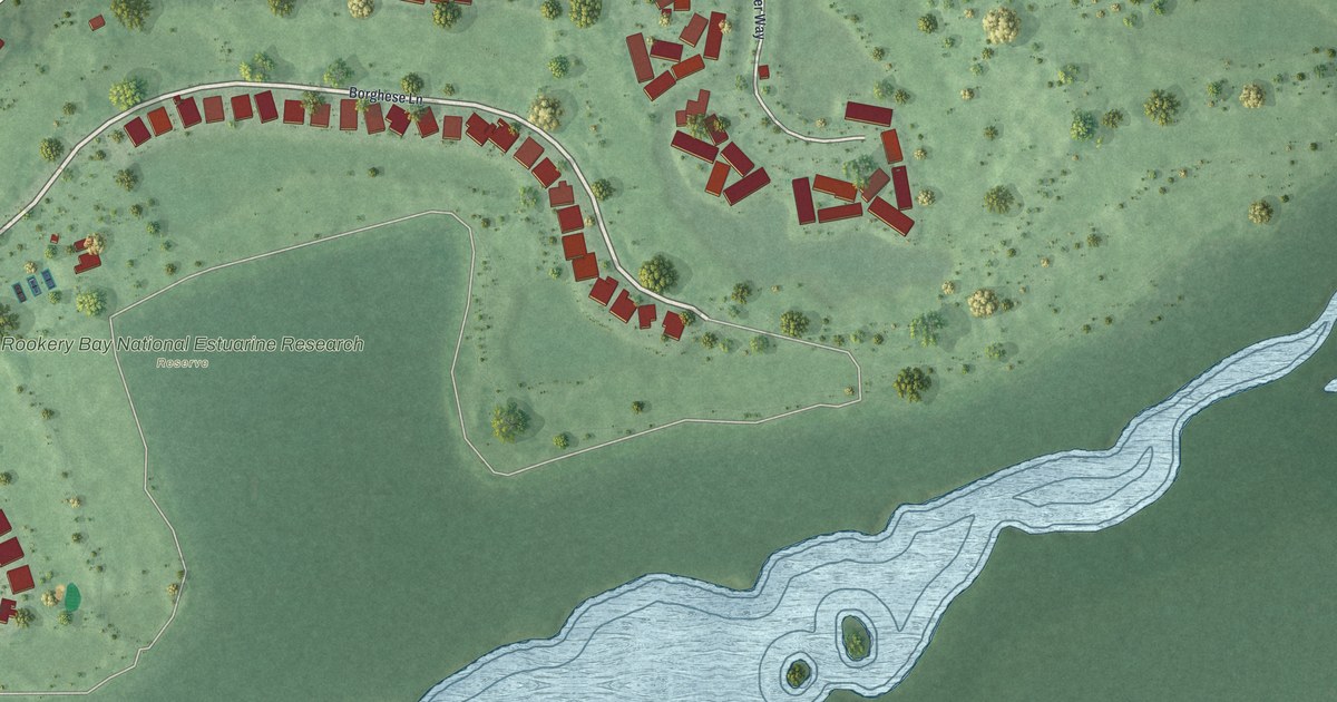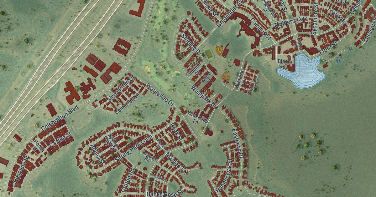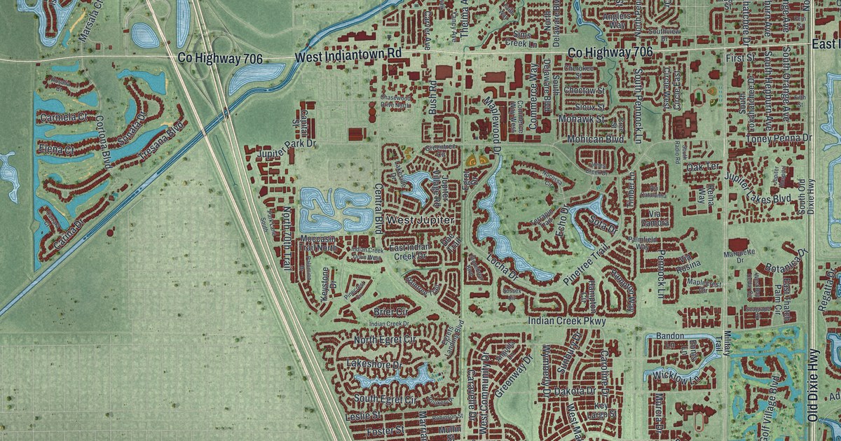
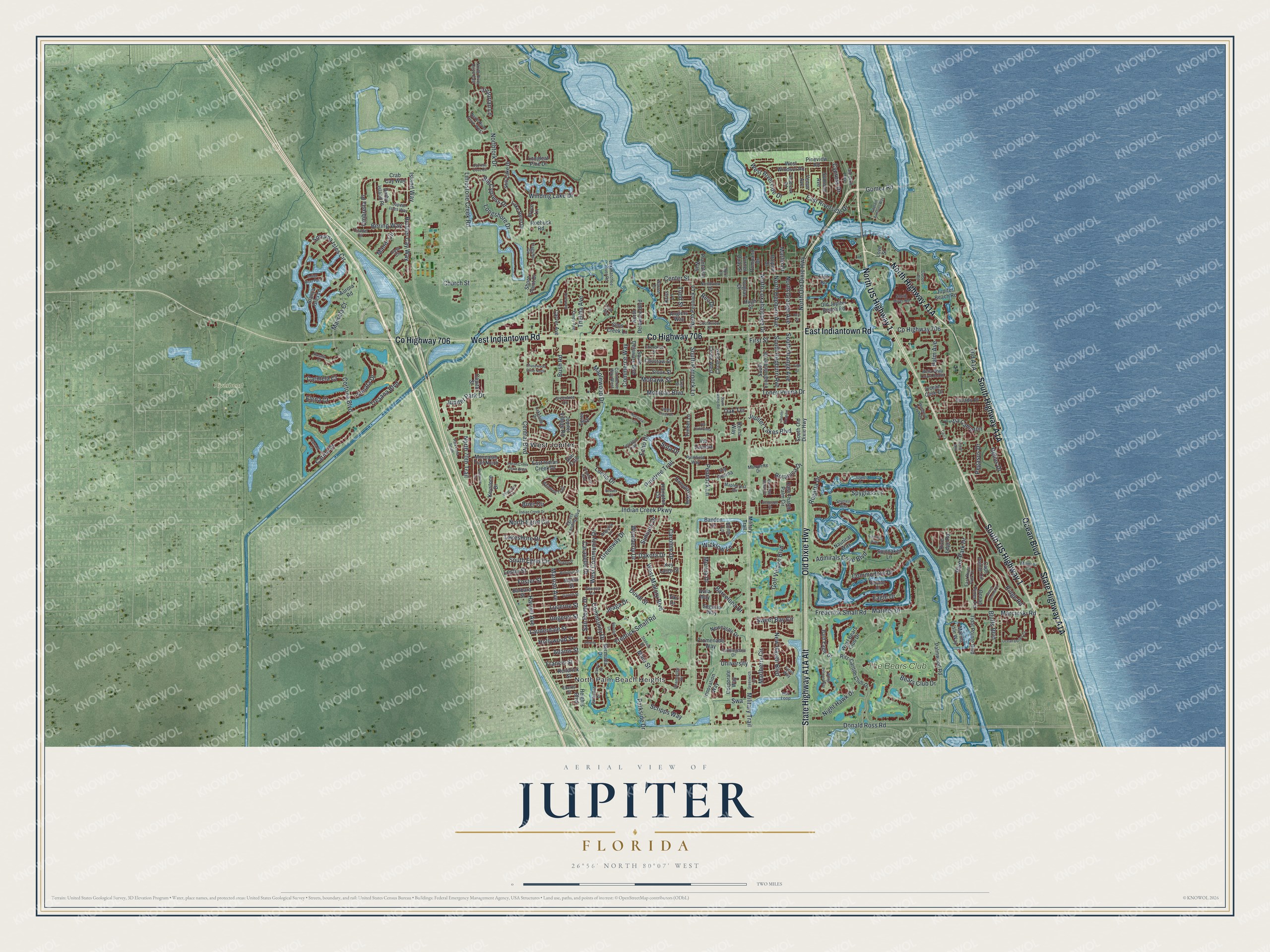
This beautifully detailed map of Jupiter, Florida was created in 2026 using aerial imagery combined with modern topographical, census, street and landmark data. It’s a one-of-a-kind view of Jupiter that combines accurate data with a vintage aesthetic. The map shows every building in its true location, many of the roads carry their names, and the shaded topographic relief shows the shape of the land.
Explore an aerial view of Jupiter, Florida
On the map you’ll find North Palm Beach Heights, Riverbend Park, West Jupiter, The Bears Club, and North Highway A1A, along with State Highway A1A Alt, State Highway A1A, North US Highway 1, East Indiantown Road, Old Dixie Highway, County Highway 706, South US Highway 1, and more. If you look closely you can even find your house accurately drawn in its correct location. Zoom in on the preview to look for yours.
Did You Know?
The Jupiter Inlet Lighthouse is a brick tower finished in 1860. Workers painted it red in 1910 to hide stains caused by humidity. Hurricane Jeanne blasted paint off the top of the tower in 2004. It was then repainted with a mineral coating. The lighthouse often serves as the symbol of Jupiter.
Take a closer look at the Jupiter map
Names on this map
These names are printed on this map.
Places: North Palm Beach Heights, Riverbend Park, West Jupiter and The Bears Club.
Streets and roads: North US Highway 1, East Indiantown Road, Old Dixie Highway, County Highway 706, South US Highway 1, West Indiantown Road, Ocean Boulevard, Gomez Road, New Haven Boulevard, Golf Village Boulevard, Swa, Central Boulevard.
More street names, A to Z
Adams Street, Admirals Cove Boulevard, Anglers Way, Anguilla Lane, April Lane, Aurora Road, Avila Way, Bald Eagle Drive, Bandon Lane, Barbados Drive, Barbara Street, Barcelona Drive, Beach Summit Court, Bears Club Drive, Bella Vista Court South, Bering Way, Bermuda Drive, Big Cypress Drive, Blanca Isles Lane, Bluffs Boulevard, Botanica Drive, Brier Circle, Bryce Lane, Bush Road, Bus Loop, Caicos Drive, Cape Pointe Circle, Capital Street, Captain Armours Way, Captains Way, Caravelle Drive, Carina Drive, Carmela Court, Caroline Drive, Carrara Court, Carver Avenue, Casa Circle, Center Street, Chancellor Drive, Chasewood Drive North, Cherokee Street, Choctaw Street, Church Street, Circle East, Circle West, Citadel Circle, Commerce Way, Commerce Way West, Commodore Drive, Community Drive, Corporate Way, Cortona Boulevard, Crab Cay Way, Cree Street, Cypress Cove Circle, Cypress Drive, Dakota Drive, Darby Island Place, Doe Trail, Dolphin Drive, Donald Ross Road, Douglas Drive, Dubois Road, Duval Street, Eagle Drive, East Indian Creek Drive, East River Park Drive, East Riverside Drive, East Thatch Palm Circle, Eberts Street, Echo Drive, Egret Drive, Egrets Landing Boulevard, Elena Court, Elsa Road, Ennis Lane, Faith Way, Farmingdale Drive, Fern Street, Ficus Way, Fifth Street, First Street, Flagship Circle, Foster Street, Francis Street, Frederick Small Road, Fredrick Small Road, Garrett Street, Genova Lane, Greentree Circle, Greenway Drive, Greenwich Circle, Hampton Circle, Hampton Way, Harriet Avenue, Heights Boulevard, Helios Drive, Hollywood Street, Hugh Street, Indian Creek Drive, Indian Creek Drive West, Indian Creek Parkway, Indigo River Point, Innovation Way, Island Drive, Island Way, Jeaga Drive, Jones Creek Drive, Jupiter Beach Road, Jupiter Hospital, Jupiter Isles Way, Jupiter Lakes Boulevard, Jupiter Park Drive, Jupiter Village Road, Kendrick Street, Key Largo Street, Keystone Drive, Kriss Lane, Lake Bend Drive, Lakeshore Drive, Lakeside Drive, Lauderdale Street, Leslie Street, Limestone Creek Road, Locha Drive, Longleaf Pine Drive, Longshore Drive, Love Street, Loxahatchee River Road, Lucerne Street, Mainsail Circle, Main Street, Mangrove Bay Way, Manor Circle, Maplecrest Circle, Maplewood Drive, Marcinski Road, Marina Isle Way, Mariner Drive, Marlberry Circle, Marlin Drive, Marquette Drive, Marrian Avenue, Marsala Court, Military Trail, Moccasin Trail North, Mohawk Street, Mohican Boulevard, Mullin Street, Murcia Drive, Nautical Way, Newcastle Drive, Night Hawk Drive, Nocossa Circle, North 70th Trail, North Delaware Boulevard, North Egret Circle, Northfork Drive, North Hepburn Avenue, North Loxahatchee Drive, North Old Dixie Highway, North Orange Avenue, North Pennock Lane, North River Drive East, North River Drive West, Northview Drive, Oak Terrace, Ocean Cove Drive, Ocean Dunes Circle, Ocean Pines Terrace, Ocean Way, Old Jupiter Beach Road, Palm Avenue, Palmfield Way, Palmwood Road, Palomino Drive, Park Lane South, Parkside Drive, Pegasus Drive, Pennock Lane, Pinecrest Circle, Pinetree Trail, Pineview Road, Plantation Way, Pompano Drive, Promenade Way, Quayside Drive, Raintree Trail, Ravello Lane, Regatta Drive, Reina Way, Reo Drive, Ridge Road, Ritz-Carlton Club Drive, River Edge Road, River Park Drive, Riverwalk Lane, Robinson Street, Roebuck Road, Rookery Place, Rosalia Court, Rudder Cay Way, San Remo Drive, Scripps Way, Seabrook Road, Seagrape Drive, Segovia Way, Shore Point Drive, Sims Creek Lane, Sioux Street, Sonata Drive, Sonoma Isles Circle, Sota Drive, South Delaware Boulevard, South Egret Circle, South Hepburn Avenue, South Loxahatchee Drive, South Old Dixie Highway, South Orange Avenue, South Pennock Lane, South Radio Road, South River Road, Southview Drive, Spinnaker Lane, Spyglass Lane, Spyglass Way, Stadium Drive, Still Lake Drive, Stonebriar Boulevard, Summer Avenue, Sunbury Drive, Sussex Circle, Sweet Bay Circle, Terrapin Trail, Thelma Avenue, Tidal Pointe Boulevard, Tierra Lane, Tiki Drive, Timber Lane, Todd Street, Toney Penna Drive, Tresana Boulevard, Turner Quay Street, Umbrella Place, Ungerer Street, University, Venus Avenue, Via Cameron, Via Catalunha, Via Rosina, Via Verona, Via Zamora, Victorian Lane, Warren Drive, West Bay Cedar Circle, West Bears Club Drive, West Community Drive, West Mallory Boulevard, West Riverside Drive, West Windsor Road, White Pelican Way, Wicklow Lane, Winding Lake Drive, Wymberly Drive, Xanadu Place, Yancy Avenue.
See it on a wall
The Jupiter map as a framed print. Swipe for more.


This beautifully detailed map of Jupiter makes an attractive addition to your office, library, or den, and it can even be used to teach children the geography and history of the area. It also makes a great gift for anyone with Jupiter roots. When you’re done exploring, click here to get your copy of the Jupiter map.