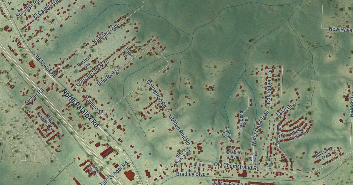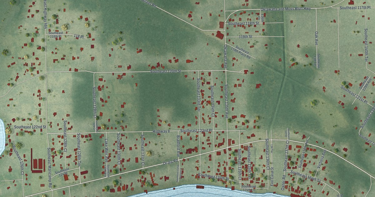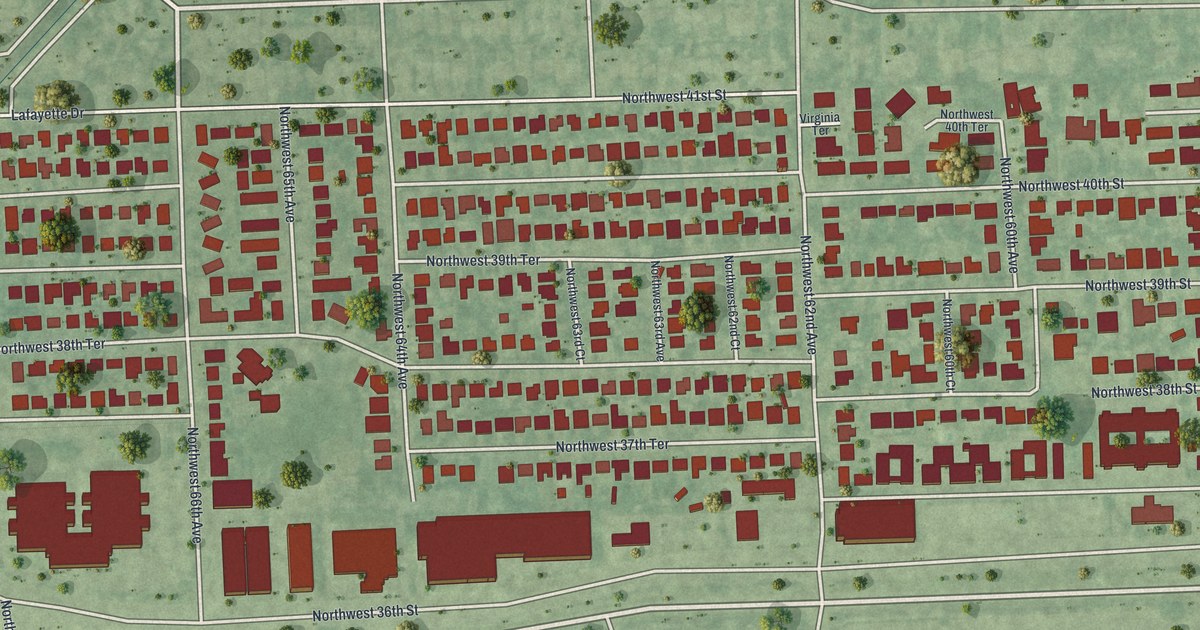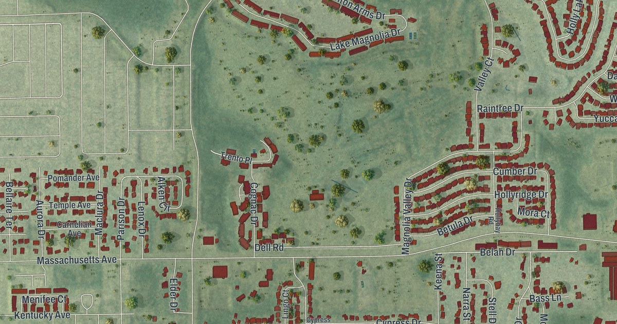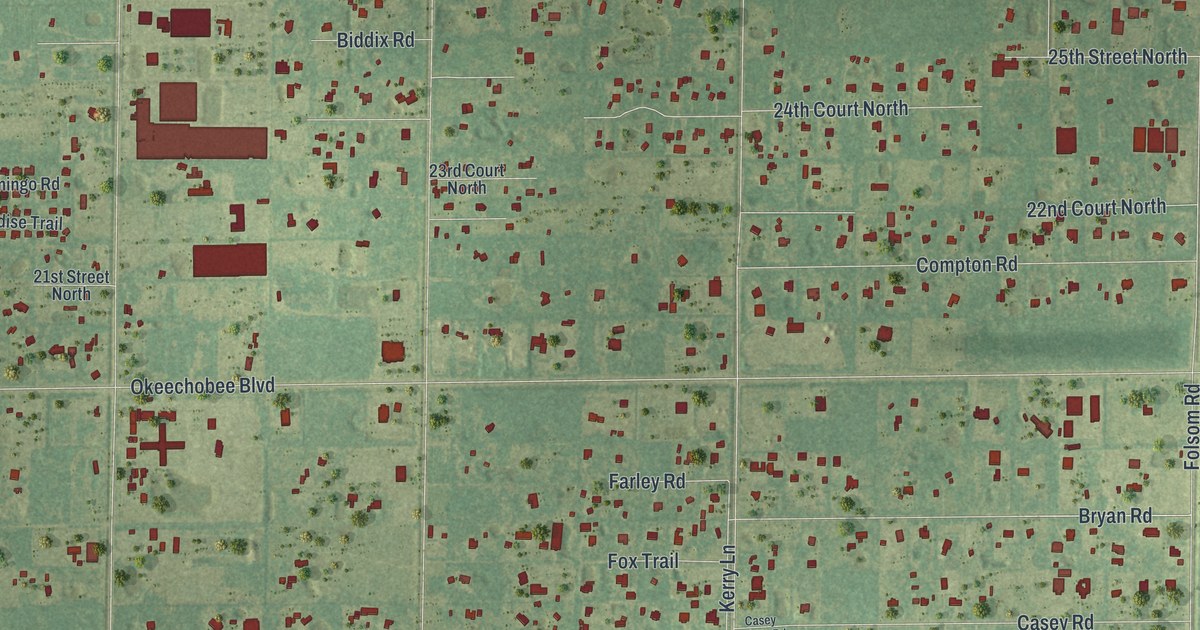
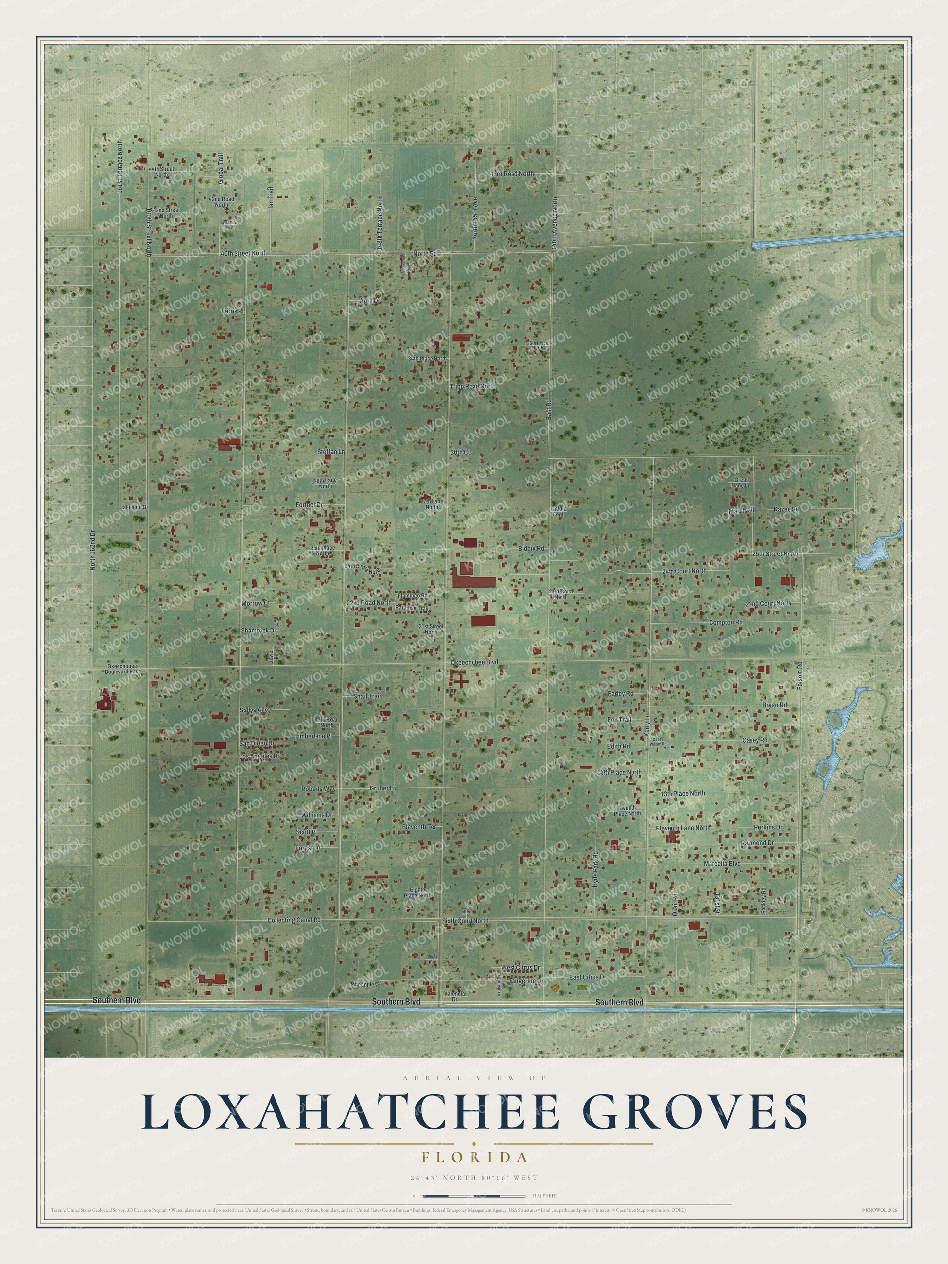
This beautifully detailed map of Loxahatchee Groves, Florida was created in 2026 using aerial imagery combined with modern topographical, census, street and landmark data. It’s a one-of-a-kind view of Loxahatchee Groves that combines accurate data with a vintage aesthetic. The map shows every building in its true location, many of the roads carry their names, and the shaded topographic relief shows the shape of the land.
Explore an aerial view of Loxahatchee Groves, Florida
On the map you’ll find Southern Boulevard, 25th Street North, North Road, East Road, Okeechobee Boulevard, Collecting Canal Road, North 162nd Drive, Folsom Road, Sixth Court North, 161st Terrace North, 40th Street North, 24th Court North, and more. If you look closely you can even find your house accurately drawn in its correct location. Zoom in on the preview to look for yours.
Did You Know?
Settlers arrived in 1917, but Loxahatchee Groves did not become a town until November 1, 2006. Residents incorporated mainly to guard their rural way of life against the spread of nearby cities. The name honors the Loxahatchee River. In the Muscogee language of the Seminole people, that word means river of turtles.
Take a closer look at the Loxahatchee Groves map
Names on this map
These names are printed on this map.
Streets and roads: Southern Boulevard, 25th Street North, North Road, East Road, Okeechobee Boulevard, Collecting Canal Road, North 162nd Drive, Folsom Road, Sixth Court North, 161st Terrace North, 40th Street North, 24th Court North.
More street names, A to Z
13th Place North, 14th Place North, 17th Road North, 21st Street North, 22nd Court North, 22nd Road North, 23rd Court North, 24th Circle North, 25th Place North, 27th Lane North, 28th Lane North, 30th Court, 34th Place North, 35th Place North, 41st Court North, 42nd Road North, 42nd Street North, 42nd Trail, 43rd Road North, 44th Street North, 131st Street, 140th Avenue North, 147th Avenue North, 148th Terrace North, 160th Street North, April Drive, Biddix Road, Bryan Road, Casey Road, Casey Wilson Road, Compton Road, East Citrus Drive, Edith Road, Eighth Place North, Eleventh Lane North, Eleventh Terrace, Farley Road, Ferris Place, Flamingo Road, Forest Lane, Fortner Drive, Fox Trail, Global Trail, Great Dane Lane, Gruber Lane, Hyde Park Road, Ian Trail, Jewel Lane, Kazee Road, Kerry Lane, Lakeside Drive, Los Angeles Drive, Loxahatchee Avenue, Marcella Boulevard, March Circle, Morrow Court, North 145th Avenue, Okeechobee Boulevard East, Paddle Foot, Paradise Trail, Perkins Drive, Pineapple Drive, Quail Road, Rackley Road, Raymond Drive, Roberts Way, Sallys Alley, San Diego Drive, Scott Place, Shamrock Drive, Snail Trail, Steffan Lane, Tangerine Drive, Temple Drive, Timberlane Place, Tripp Road North, Twelfth Place North, Valencia Drive, West Citrus Drive, Williams Drive.
See it on a wall
The Loxahatchee Groves map as a framed print. Swipe for more.


This beautifully detailed map of Loxahatchee Groves makes an attractive addition to your office, library, or den, and it can even be used to teach children the geography and history of the area. It also makes a great gift for someone who left Loxahatchee Groves and still calls it home. When you’re done exploring, click here to get your copy of the Loxahatchee Groves map.