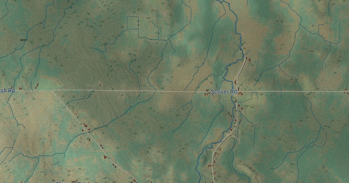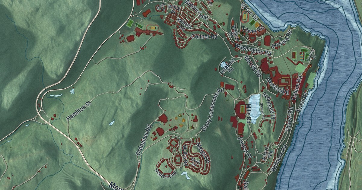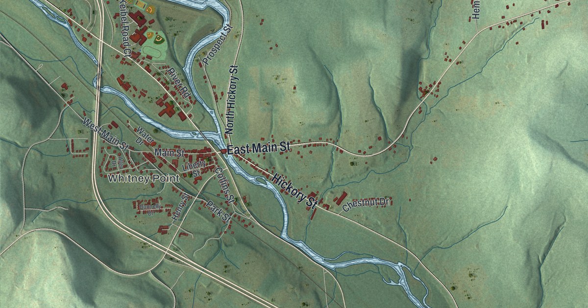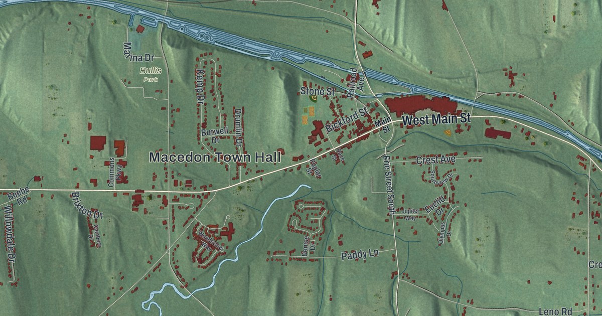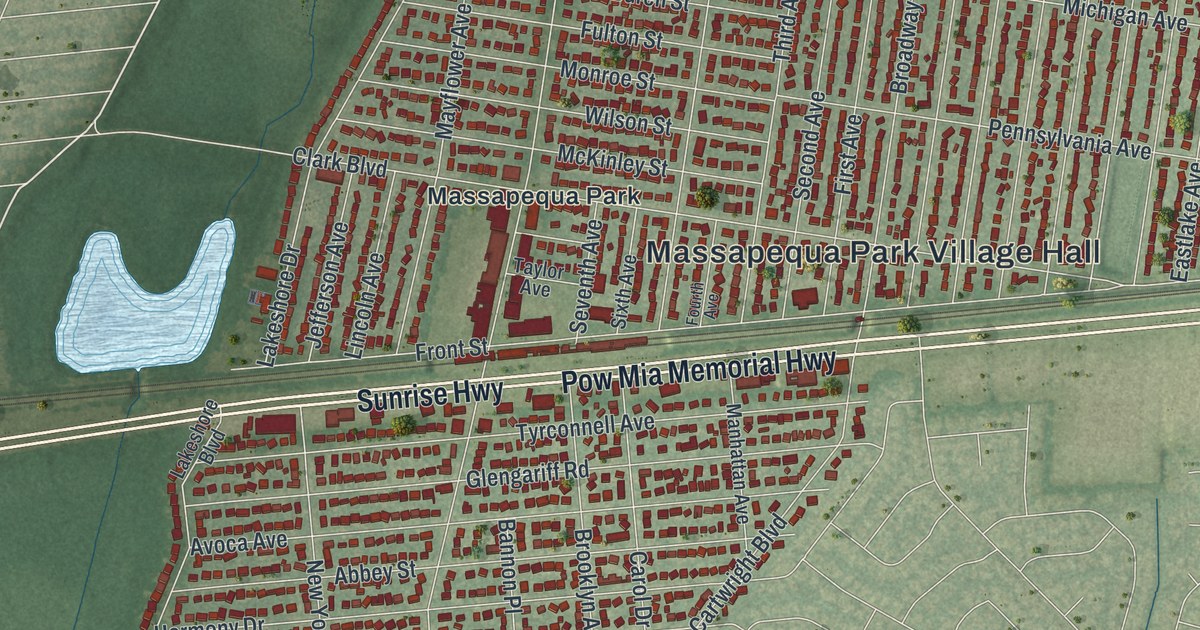
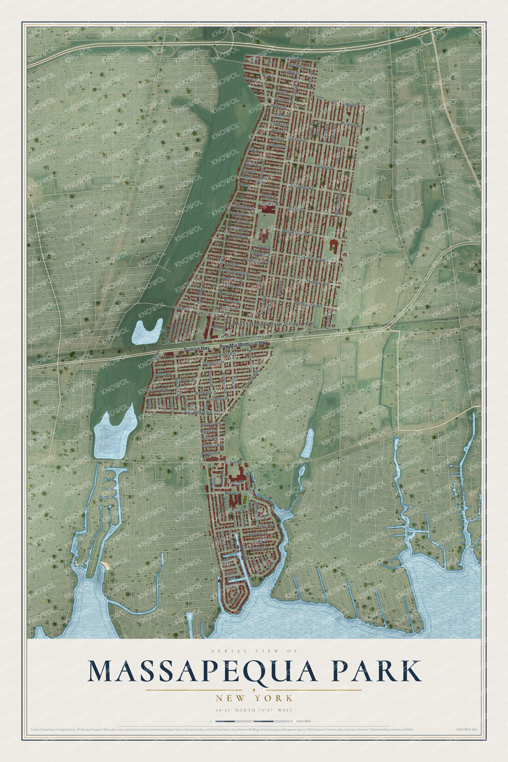
This beautifully detailed map of Massapequa Park, New York was created in 2026 using aerial imagery combined with modern topographical, census, street and landmark data. It’s a one-of-a-kind view of Massapequa Park that combines accurate data with a vintage aesthetic. The map shows every building in its true location, many of the roads carry their names, and the shaded topographic relief shows the shape of the land.
Explore an aerial view of Massapequa Park, New York
On the map you’ll find Massapequa Park Village Hall, along with Pow Mia Memorial Highway, Sunrise Highway, Harbor Lane, Lakeshore Drive, and more. If you look closely you can even find your house accurately drawn in its correct location. Zoom in on the preview to look for yours.
Did You Know?
Massapequa Park was once home to an airport called the Fitzmaurice Flying Field. It was named in 1929 for James Fitzmaurice, one of the three-man crew on the first east-to-west airplane flight across the Atlantic. About 100,000 people turned out when the field on Spruce Street was dedicated.
Take a closer look at the Massapequa Park map
Names on this map
These names are printed on this map.
Places: Massapequa Park Village Hall and Massapequa Park.
Streets and roads: Pow Mia Memorial Highway, Sunrise Highway, Harbor Lane, Lakeshore Drive, Roosevelt Avenue, Park Boulevard, Charles Avenue, Pacific Street, Grand Boulevard, Atlantic Avenue, Broadway, Second Avenue.
More street names, A to Z
Abbey Street, Andrews Drive, Arthur Street, Aster Street, Avoca Avenue, Balchen Street, Bannon Place, Beacon Drive, Belvedere Drive, Beverly Avenue, Birch Lane, Brendan Avenue, Brooklyn Avenue, Carol Drive, Cartwright Boulevard, Cashaw Place, Chapman Drive, Clark Boulevard, Clover Drive, Colleran Place, Connecticut Avenue, Cypress Street, Eastlake Avenue, Euclid Avenue, Fillmore Street, First Avenue, Fitzmaurice Street, Fourth Avenue, Franklin Street, Front Street, Fulton Street, Garfield Street, Glengariff Road, Grant Street, Greenwich Avenue, Harbor Lane North, Harding Street, Harmony Drive, Hawthorne Street, Hayes Street, Hemlock Lane, Henry Street, Hoffman Place, Illinois Avenue, Jefferson Avenue, Jerusalem Avenue, Kings Walk, Kinsella Avenue, Knell Drive, Koehl Street, Lakeshore Boulevard, Larch Lane, Laurel Drive, Lilac Place, Lincoln Avenue, Lindbergh Street, Linden Street, Manhattan Avenue, Mansfield Drive, Maple Street, Martin Place, Maryland Avenue, Massachusetts Avenue, Massapequa Avenue, Mayflower Avenue, May Place, McKinley Street, Merrick Road, Michigan Avenue, Monroe Street, Moore Avenue, Nassau Street, New York Avenue, Oakdale Avenue, Oak Street, Ocean Avenue, Oconnell Street, Overlea North, Overlea South, Park Place, Pennsylvania Avenue, Philadelphia Avenue, Pine Street, Pittsburgh Avenue, Primrose Avenue, Queens Court, Rainbow Road, Reiss Avenue, Rockne Avenue, Rose Street, Saint Regis Drive, Seventh Avenue, Sixth Avenue, Skylark Road, Smith Street, Southgate Circle, South Gate Circle, Southgate Drive, South Park Drive, Spruce Street, Strully Drive, Taylor Avenue, Third Avenue, Thornwood Road, Tiffany Drive, Tulip Drive, Tyrconnell Avenue, Van Buren Street, Victory Drive, Violet Street, Von Huenfeld Street, Walker Street, Wall Court, Walnut Street, Wenwood Drive, West Street, Whitewood Drive, Williams Drive, Willow Street, Wilson Street.
See it on a wall
The Massapequa Park map as a framed print. Swipe for more.


This beautifully detailed map of Massapequa Park makes an attractive addition to your office, library, or den, and it can even be used to teach children the geography and history of the area. It also makes a great gift for anyone who grew up in Massapequa Park or moved away. When you’re done exploring, click here to get your copy of the Massapequa Park map.