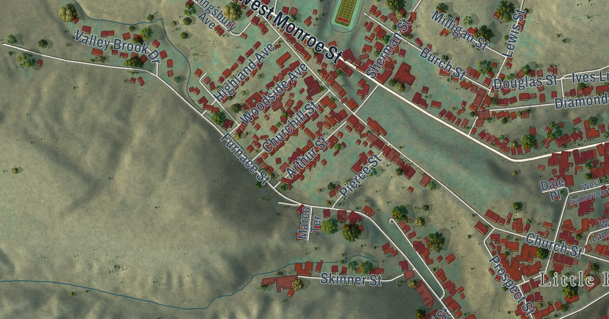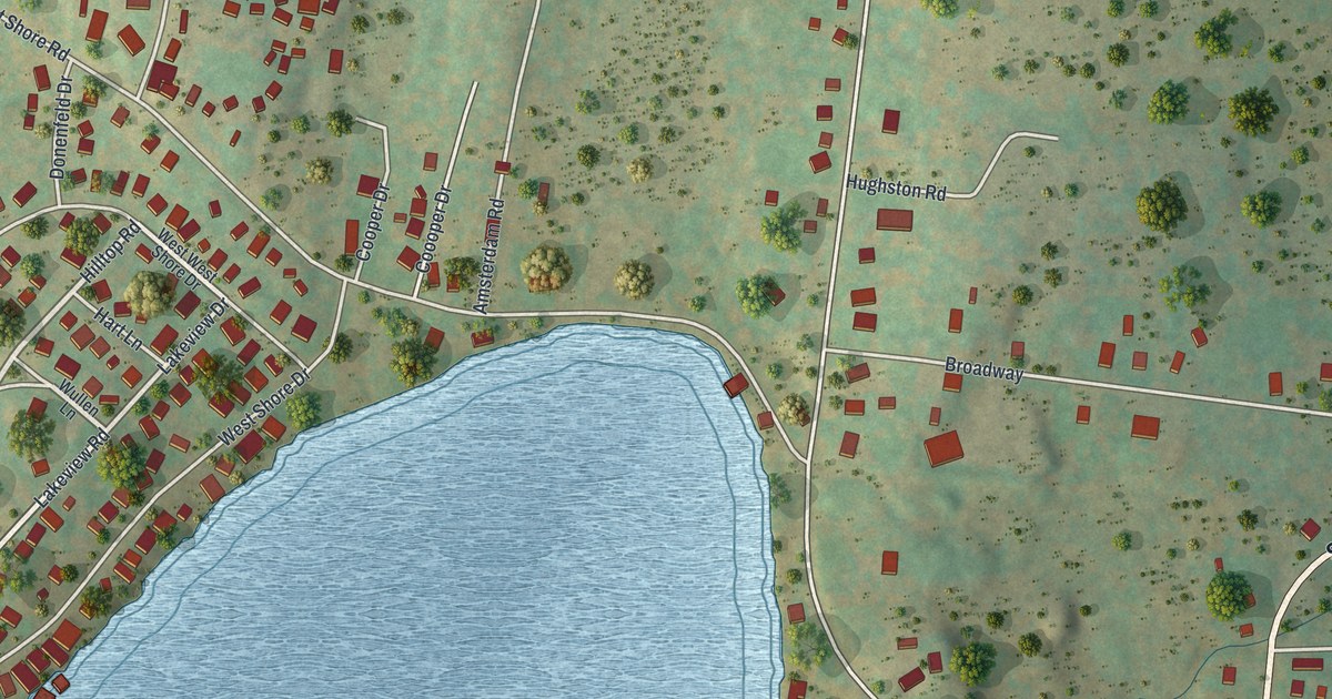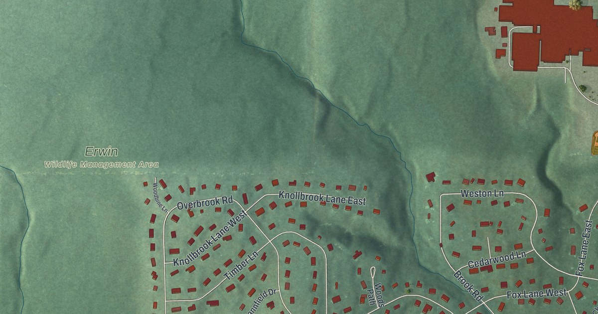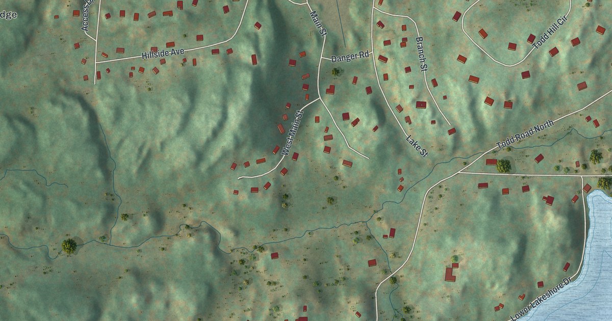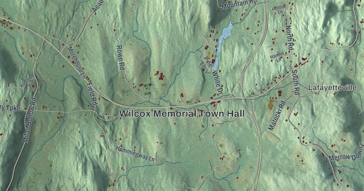
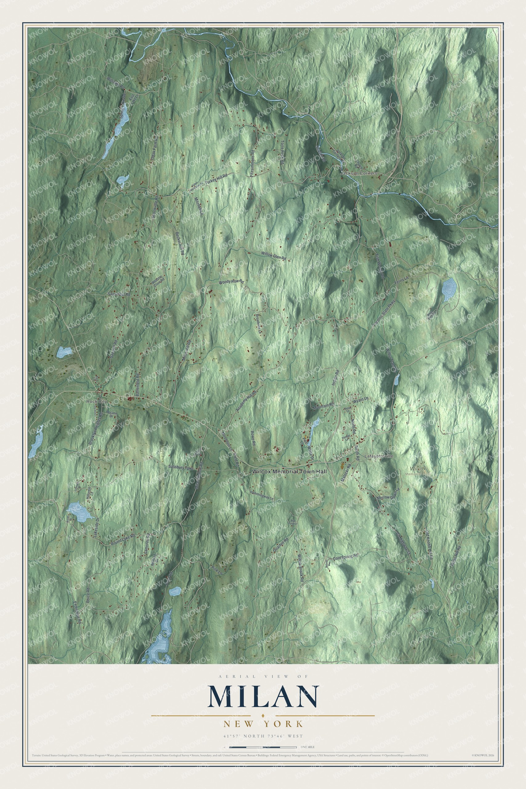
This beautifully detailed map of Milan, New York was created in 2026 using aerial imagery combined with modern topographical, census, street and landmark data. It’s a one-of-a-kind view of Milan that combines accurate data with a vintage aesthetic. The map shows every building in its true location, many of the roads carry their names, and the shaded topographic relief shows the shape of the land.
Explore an aerial view of Milan, New York
On the map you’ll find Wilcox Memorial Town Hall, Jackson Corners, Rock City, Lafayetteville, and Wilcox Memorial Park, along with Brooklyn Heights Road, Fitzsimmons Road, Taconic State Parkway, Academy Hill Road, and more. If you look closely you can even find your house accurately drawn in its correct location. Zoom in on the preview to look for yours.
Did You Know?
Johannes Rowe was the first settler here. His father was a Palatine immigrant. Rowe bought 911 acres from Robert Livingston, third Lord of the Manor of Livingston. In 1766 he built a stone house near today’s Milan Town Hall. In 1940, the Historic American Buildings Survey photographed what was left of it.
Take a closer look at the Milan map
Names on this map
These names are printed on this map.
Places: Wilcox Memorial Town Hall, Jackson Corners, Rock City, Lafayetteville and Wilcox Memorial Park.
Streets and roads: Brooklyn Heights Road, Fitzsimmons Road, County Highway 53, Taconic State Parkway, Academy Hill Road, Milan Hill Road, Turkey Hill Road, Milan Hollow Road, Salisbury Turnpike, Battenfeld Road, Field Road, Cold Spring Road.
More street names, A to Z
Becker Hill Road, Boice Road, Briar Patch Lane, Broadview Lane, Church Road, East Lake Lane, Enterprise Road, Ferris Lane, Fish Woods Road, Fulton Homestead Road, Hamlet Lane, Hammock Hill, Hemmingway Lane, Hicks Hill Road, Hillcrest Lane, Hunter Lane, Indian Road, Jackson Corners Road, Lakeside Drive, Lamoree Road, Lehmann Drive, Louise Terrace, Matecki Road, Merrow Down Lane, Mitchell Lane, Molland Drive, Morehouse Lane, Mountain Road, Natures Way, North Road, Odak Farm Road, Old Knobb Hill Road, Perz Lane, Pine Lane, Pink Lane, Pond Road, Quarfelt Road, Rocann Drive, Round Lake Road, Rowe Road, Saint Paul Road, Sawmill Road, Shields Road, Shookville Road, South Road, Spring Lake Road, Torre Rock Road, Webster Coon Road, West Shore Drive, White Drive, Wilbur Flats Road, Williams Road, Willow Brook Road, Willow Glen Road, Woods Road, Woody Row Road, Wyant Lane.
See it on a wall
The Milan map as a framed print. Swipe for more.


This beautifully detailed map of Milan makes an attractive addition to your office, library, or den, and it can even be used to teach children the geography and history of the area. It also makes a great gift for anyone who grew up in Milan or moved away. When you’re done exploring, click here to get your copy of the Milan map.