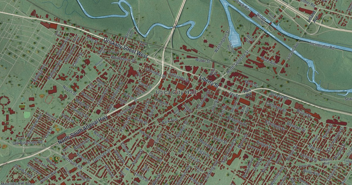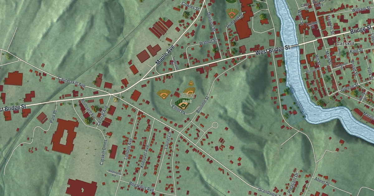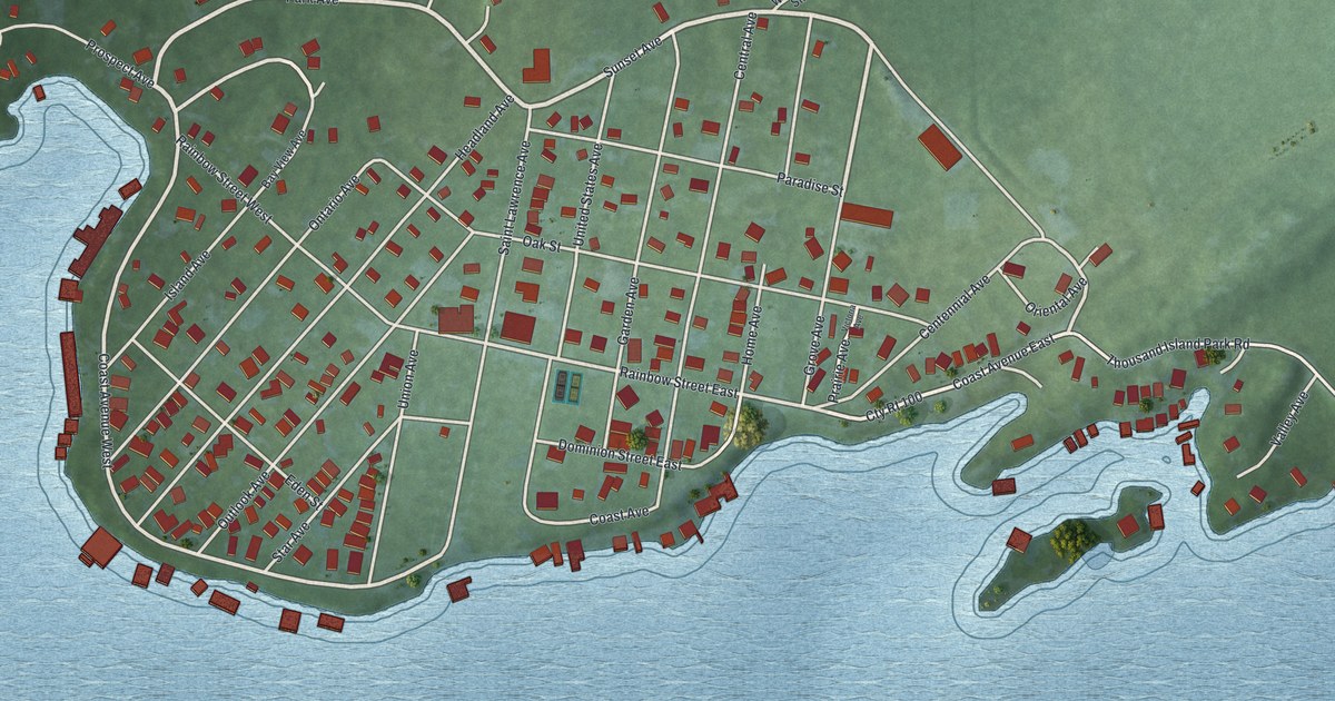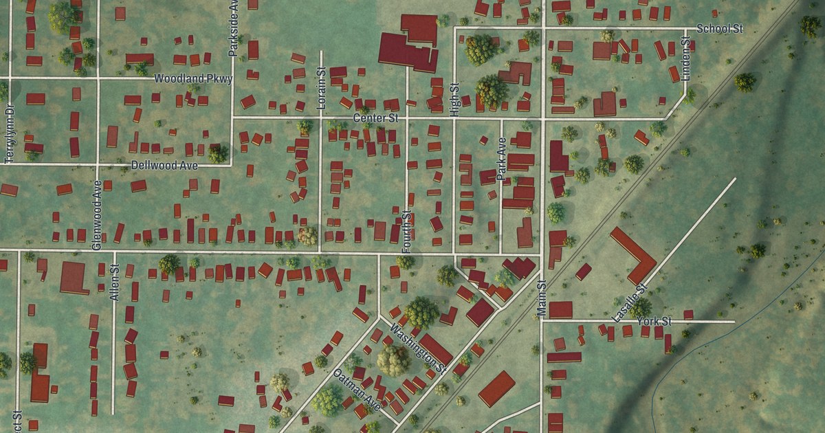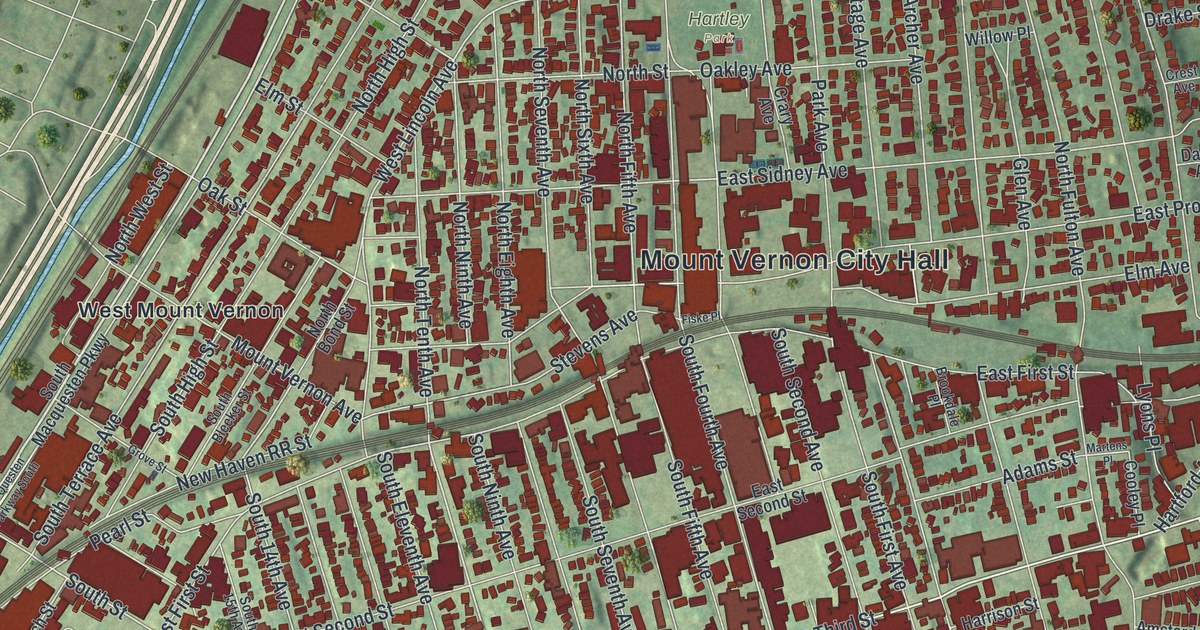
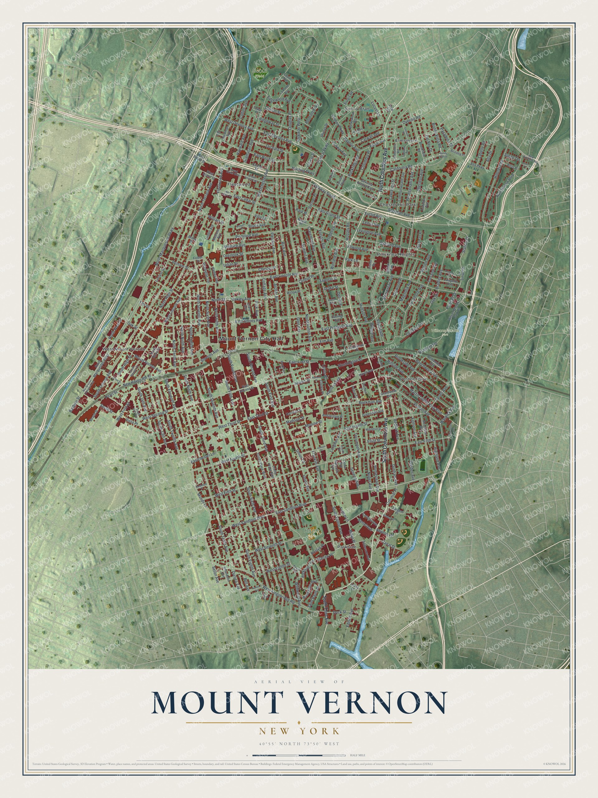
This beautifully detailed map of Mount Vernon, New York was created in 2026 using aerial imagery combined with modern topographical, census, street and landmark data. It’s a one-of-a-kind view of Mount Vernon that combines accurate data with a vintage aesthetic. The map shows every building in its true location, many of the roads carry their names, and the shaded topographic relief shows the shape of the land.
Explore an aerial view of Mount Vernon, New York
On the map you’ll find Mount Vernon City Hall, Chester Hill Park, Elmsmere, Fleetwood, Parkside, Pinckney Heights, Willsons Woods Park, Brush Park, and Hartley Park, along with Columbus Avenue, Macquesten Parkway, Fleetwood Avenue, Devonia Avenue, and more. If you look closely you can even find your house accurately drawn in its correct location. Zoom in on the preview to look for yours.
Did You Know?
Families from Connecticut first settled the area in 1664, as part of Eastchester. The city takes its name from George Washington’s plantation in Virginia. A cooperative drove its early growth. It built houses for tradesmen, employees and other people of small means.
Take a closer look at the Mount Vernon map
Names on this map
These names are printed on this map.
Places: Mount Vernon City Hall, Scout Field, Willsons Woods Park, Brush Park, Hartley Park, Chester Hill Park, Elmsmere, Fleetwood, Parkside, Pinckney Heights, Sunny Brae, Vernon Park and West Mount Vernon.
Streets and roads: South Columbus Avenue, North Columbus Avenue, North Macquesten Parkway, Fleetwood Avenue, West Devonia Avenue, East Devonia Avenue, Baldwin Street, Hutchinson Boulevard, East Sandford Boulevard, West Sandford Boulevard, East Third Street, Seton Avenue.
More street names, A to Z
Adams Street, Alta Drive, Alta Parkway, Amsterdam Place, Amundson Avenue, Anderson Avenue, Archer Avenue, Arden Terrace, Arizona Place, Atlas Place, Audubon Avenue, Bateman Place, Beach Street, Bedford Avenue, Beechwood Avenue, Beekman Avenue, Bell Avenue, Bertel Avenue, Bonita Vista Drive, Bonita Vista Road, Bradford Road, Bradley Avenue, Broad Street East, Broad Street West, Bronx Street, Brookdale Place, Brookfield Road, Brookside Avenue, Bruce Avenue, Burkewood Road, Bushnell Place, California Road, Canal Street, Carleton Avenue, Carpenter Place, Carwall Avenue, Cedar Avenue, Central Parkway, Centre Street, Chester Street, Chestnut Place, Claremont Avenue, Claremont Place, Clinton Place, Clinton Street, Collins Avenue, Colonial Place, Columbia Place, Commonwealth Avenue, Cooley Place, Cottage Avenue, Crary Avenue, Crest Avenue, Darling Avenue, Darwood Place, Dell Avenue, Del Rey Drive, Denman Place, Devonia Avenue East, Dock Street, Douglas Place, Drake Street, Dunham Avenue, Duryea Avenue, East Birch Street, East Cedar Street, Eastchester Lane, Eastfield Road, East Fifth Street, East First Street, East Fourth Street, East Grand Street, East Lincoln Avenue, East Prospect Avenue, East Second Street, East Sidney Avenue, Edgewood Avenue, Edison Avenue, Egmont Avenue, Ehrbar Avenue, Elliot Street, Ellwood Avenue, Elm Avenue, Elmsmere Road, Elm Street, Esplanade, Euclid Avenue, Fairway Street, Farrell Avenue, Fisher Drive, Fiske Place, Fletcher Avenue, Forster Avenue, Forster Parkway, Foster Place, Fourth Avenue, Franklin Avenue, Frederick Place, Fulton Lane, Garden Avenue, Glen Avenue, Gramatan Avenue, Grandview Avenue, Greendale Avenue, Grove Street, Hamilton Avenue, Hancock Avenue, Hanover Place, Harding Parkway, Harrison Street, Hartford Avenue, Hartley Avenue, Haven Avenue, Hayward Avenue, Highland Avenue, Hillcrest Road, Hillside Avenue, Hill Street, Homestead Avenue, Hudson Avenue, Hussey Road, Hutchinson Avenue, Jackson Street, Kenyon Place, Kimball Place, Labelle Road, Lafayette Avenue, Langdon Avenue, La Porte Avenue, Laurel Avenue, Lawrence Street, Lenox Avenue, Leona Lane, Lexington Avenue, Linden Avenue, Locust Lane, Locust Street, Lorraine Avenue, Lorraine Terrace, Lyons Place, Mac Questen Parkway South, Madison Street, Magnolia Avenue, Maple Place, Marion Avenue, Martens Place, Martin Luther King Boulevard, McClellan Avenue, Melrose Avenue, Mersereau Avenue, Miller Place, Millington Street, Monroe Street, Mount Vernon Avenue, Mundy Lane, New Haven RR Street, New Rochelle Road, Newton Place, North Bond Street, North Eighth Avenue, North Fifth Avenue, North Fulton Avenue, North High Street, North Ninth Avenue, North Seventh Avenue, North Sixth Avenue, North Street, North Tenth Avenue, North Terrace Avenue, North West Street, Nuber Avenue, Nuvern Avenue, Oak Drive, Oakland Avenue, Oakley Avenue, Oak Street, Oneida Avenue, Orchard Street, Overhill Road, Overlook Street, Packman Avenue, Palmer Avenue, Park Avenue, Park Lane, Park Place, Parkway Circle, Parkway East, Parkway South, Parkway West, Pasadena Place, Pearl Street, Pearsall Drive, Pease Street, Pelhamdale Avenue, Pennsylvania Avenue, Pine Terrace, Pondfield Parkway, Pratt Street, Primrose Avenue, Putnam Street, Raynor Avenue, Rhynas Drive, Rich Avenue, Ridgeway Street, Rochelle Terrace, Rockledge Avenue, Rockridge Road, Roslyn Place, Sageman Street, Saint Pauls Place, Sargent Place, Seneca Avenue, Sheridan Avenue, Sherman Avenue, South 13th Avenue, South 14th Avenue, South 15th Avenue, South Bleeker Street, South Eighth Avenue, South Eleventh Avenue, Southfield Road, South Fifth Avenue, South First Avenue, South Fourth Avenue, South Fulton Avenue, South High Street, South Macquesten Parkway, South Ninth Avenue, South Second Avenue, South Seventh Avenue, South Sixth Avenue, South Street, South Tenth Avenue, South Terrace Avenue, South Third Avenue, South Twelfth Avenue, Station Place, Stevens Avenue, Sturgis Road, Summit Avenue, Sycamore Avenue, Tecumseh Avenue, Tower Place, Trinity Place East, Trinity Place West, Union Avenue, Union Lane, Urban Street, Valois Place, Vernon Avenue, Vernon Parkway, Vernon Place, Villa Street, Vista Place, Wallace Avenue, Warren Place, Wartburg Place, Warwick Avenue, Washington Boulevard, Washington Street, West Broad Street, West Cedar Street, Westchester Avenue, West Eighth Street, West Fifth Street, West First Street, West Fourth Street, West Grand Street, West Kingsbridge Road, West Lincoln Avenue, West Second Street, West Seventh Street, West Third Street, Wildwood Avenue, Willard Avenue, William Street, Willow Place, Wilson Woods Park Road, Winfield Avenue.
See it on a wall
The Mount Vernon map as a framed print. Swipe for more.


This beautifully detailed map of Mount Vernon makes an attractive addition to your office, library, or den, and it can even be used to teach children the geography and history of the area. It also makes a great gift for anyone who grew up in Mount Vernon or moved away. When you’re done exploring, click here to get your copy of the Mount Vernon map.