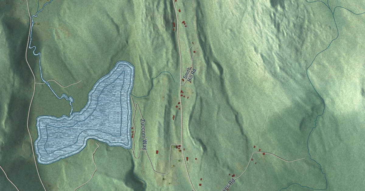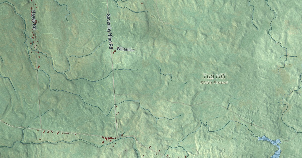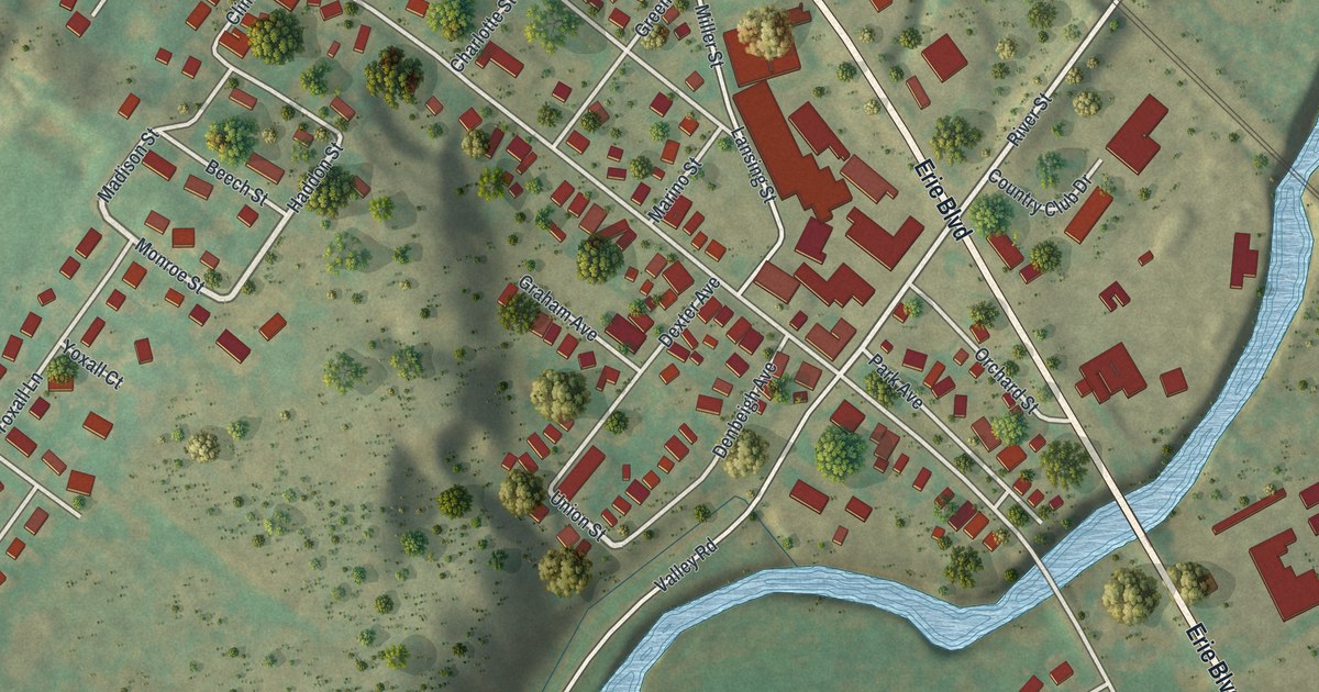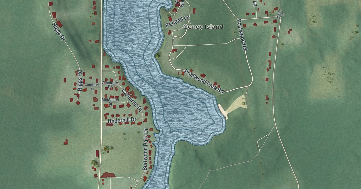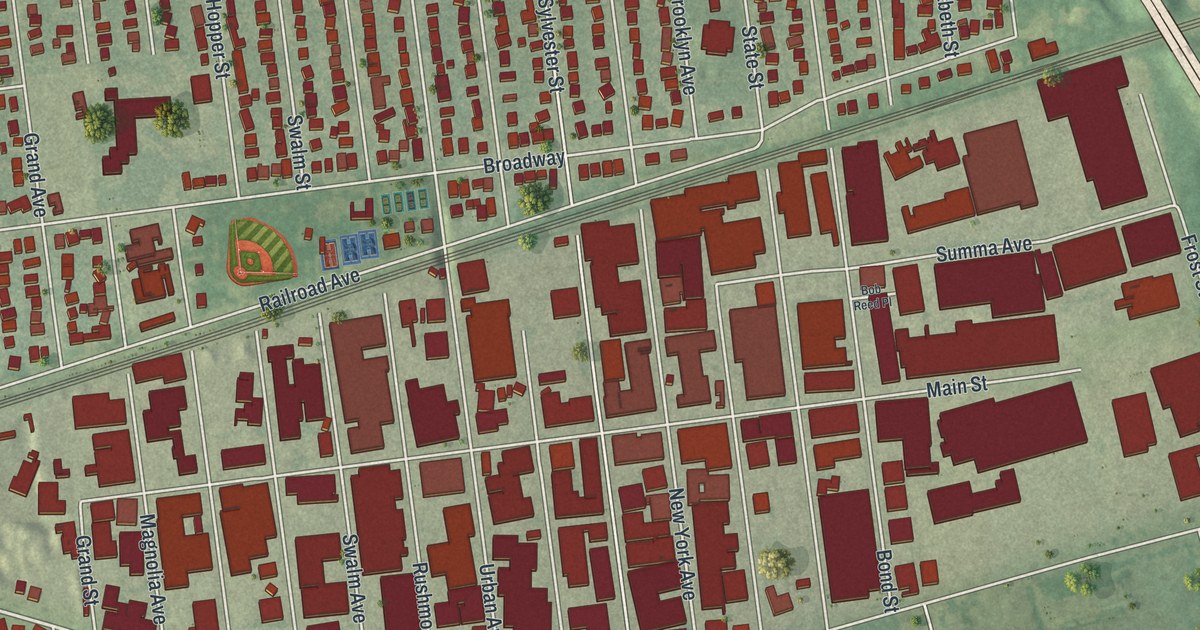
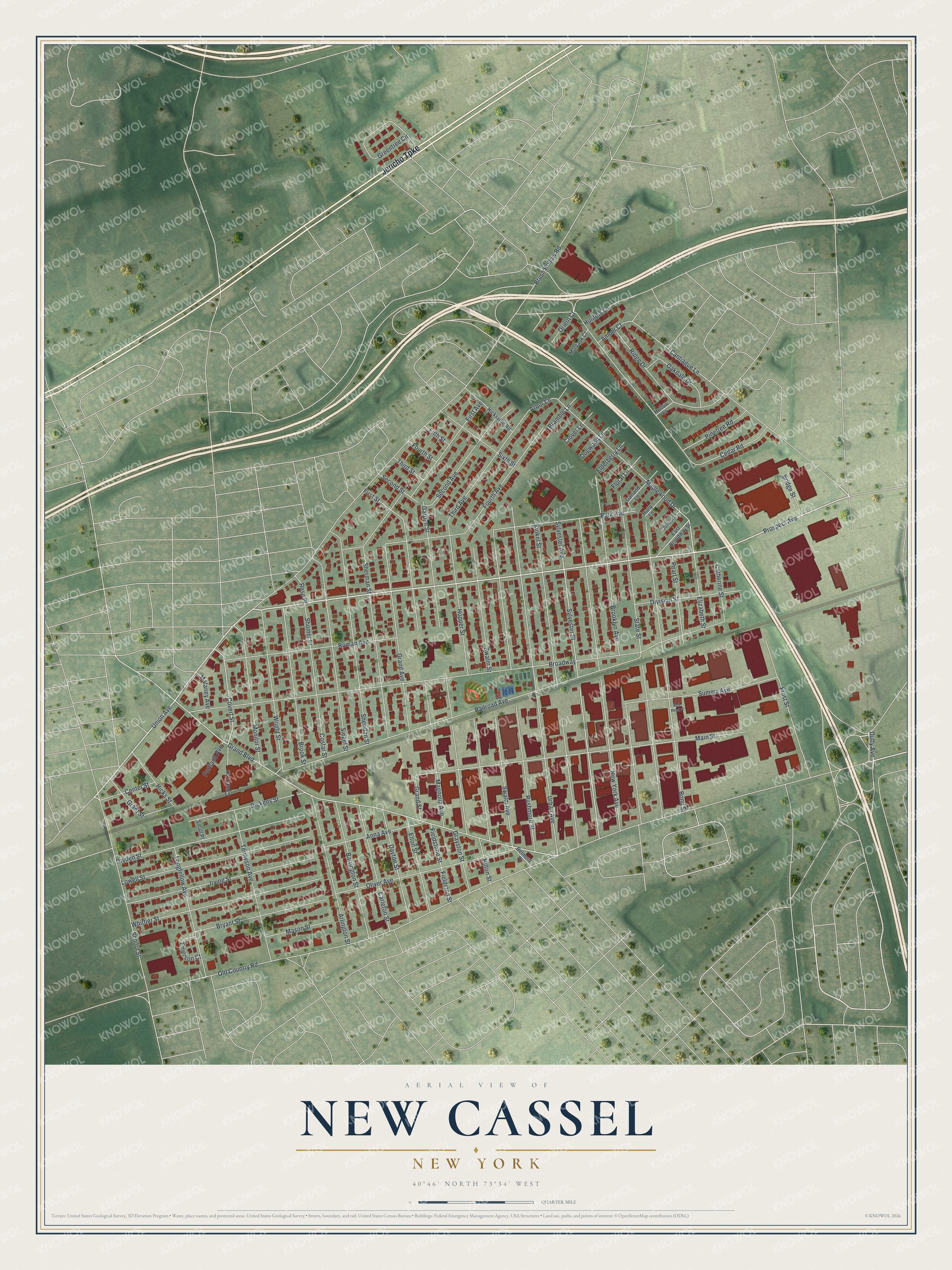
This beautifully detailed map of New Cassel, New York was created in 2026 using aerial imagery combined with modern topographical, census, street and landmark data. It’s a one-of-a-kind view of New Cassel that combines accurate data with a vintage aesthetic. The map shows every building in its true location, many of the roads carry their names, and the shaded topographic relief shows the shape of the land.
Explore an aerial view of New Cassel, New York
On the map you’ll find Jericho Turnpike, Prospect Avenue, Cantiague Lane, Union Avenue, Grand Boulevard, and more. If you look closely you can even find your house accurately drawn in its correct location. Zoom in on the preview to look for yours.
Did You Know?
New Cassel began in the mid 1700s as a farm settlement of formerly enslaved African Americans. It was among the first free Black communities on Long Island. Near the end of the Revolution, Hessian soldiers who stayed in America settled here too. They named the place for Hesse-Cassel, the German homeland of most of them.
Take a closer look at the New Cassel map
Names on this map
These names are printed on this map.
Streets and roads: Jericho Turnpike, Prospect Avenue, Cantiague Lane, Union Avenue, Grand Boulevard, Covert Street, Old Country Road, Broadway, Brush Hollow Road, Railroad Avenue, Urban Avenue, Cedar Road.
More street names, A to Z
Amber Court, Anna Avenue, Arbor Lane, Arlington Street, Barrington Street, Belmont Place, Bob Reed Place, Bond Street, Bramble Lane, Bridge Street, Brooklyn Avenue, Brook Street, Bryant Street, Carleton Street, Catherine Street, Center Street, Clover Lane, Costar Street, Covert Lane, Dayton Street, Dickens Street, Division Street, Dogwood Lane, Dryden Street, Duffy Avenue, East Broadway Street, Elderberry Lane, Elizabeth Street, Elton Street, Emerson Court, Fieldstone Street, Fieldston Street, Fifth Street, First Avenue, First Street, Floral Lane, Fourth Avenue, Fourth Street, Frost Street, Garden Street, Garland Lane, Grand Avenue, Grand Street, Grant Street, Grayston Street, Greentree Circle, Hicks Street, Hicksville Road, Hilton Street, Hollow Court, Holly Lane, Hopper Street, Hunters Lane, Irving Street, Juniper Lane, Kinkel Street, Longfellow Avenue, Lowell Street, Magnolia Avenue, Main Street, Malaney Avenue, Maplewood Drive, Mason Street, Monitor Street, Montauk Court, New York Avenue, Oakdale Drive, Oliver Avenue, Orient Court, Park Avenue, Pearl Street, Pinetree Road, Portland Avenue, Ridge Drive, Roman Avenue, Rose Place, Rushmore Street, School Street, Second Avenue, Second Street, Sheridan Street, Sherman Street, Shomer Place, Siegel Street, Sixth Street, Small Place, State Street, Summa Avenue, Swalm Avenue, Swalm Street, Sylvester Avenue, Sylvester Street, Tennyson Avenue, Third Avenue, Third Street, Whittier Street, Wright Street.
See it on a wall
The New Cassel map as a framed print. Swipe for more.


This beautifully detailed map of New Cassel makes an attractive addition to your office, library, or den, and it can even be used to teach children the geography and history of the area. It also makes a great gift for anyone who grew up in New Cassel or moved away. When you’re done exploring, click here to get your copy of the New Cassel map.