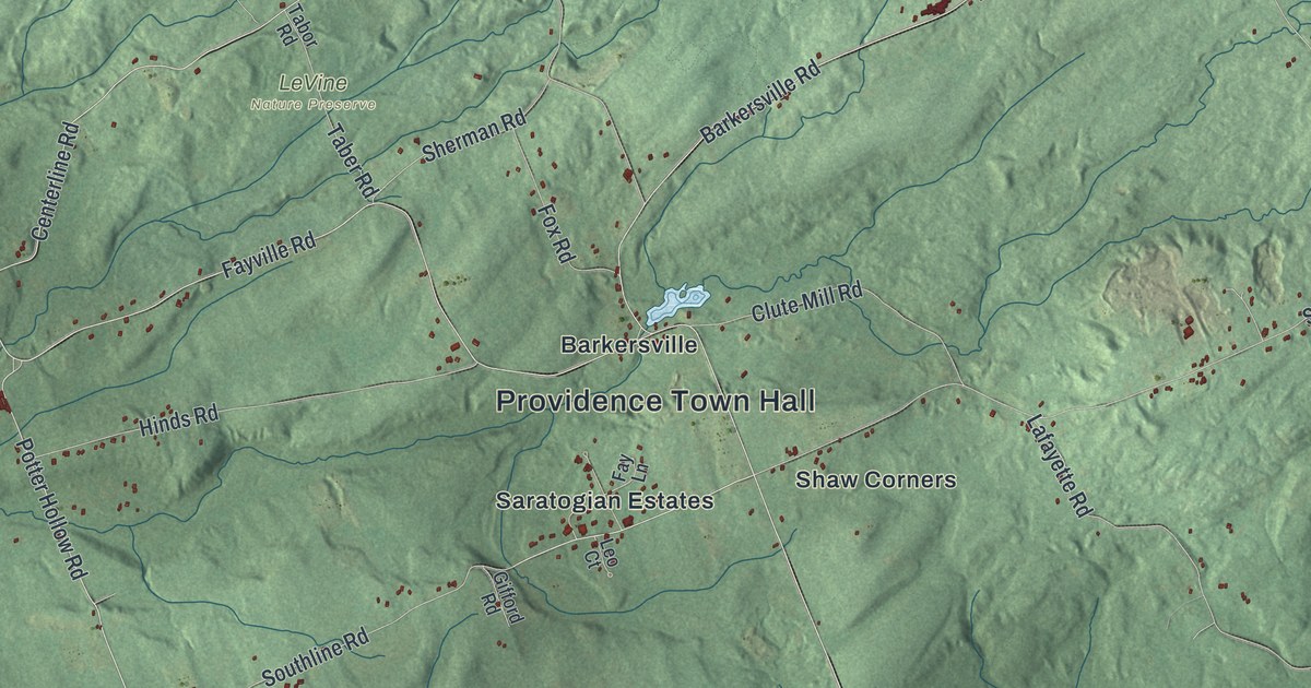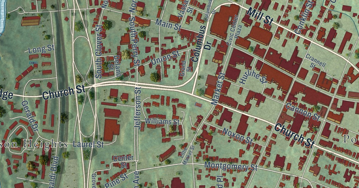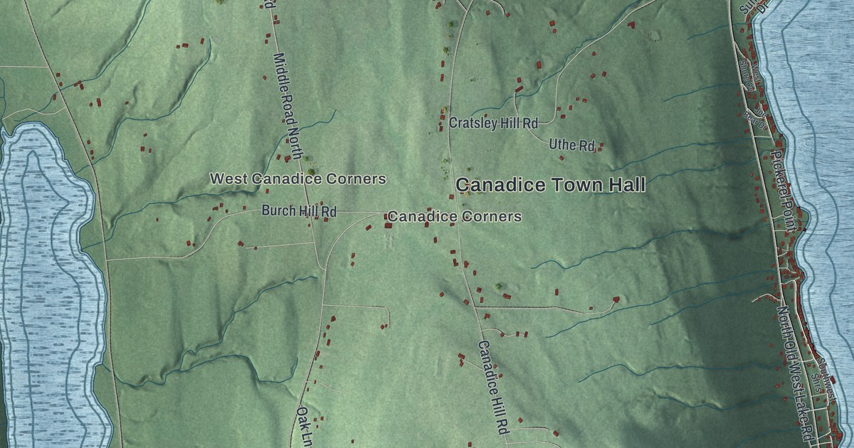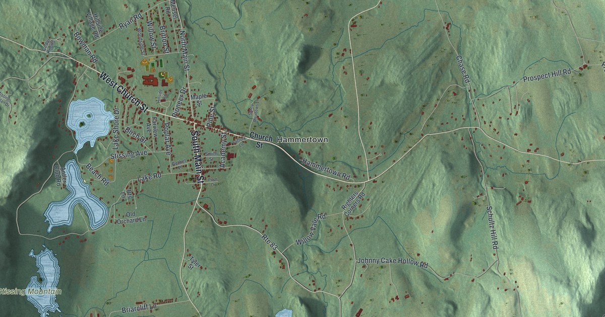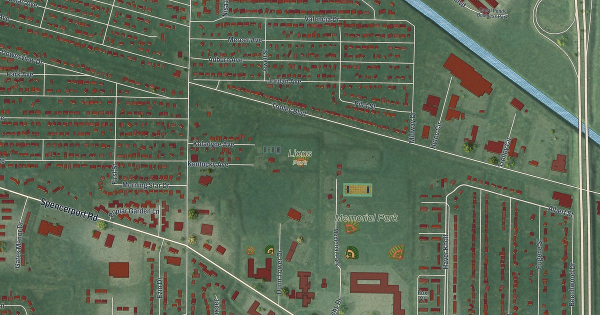
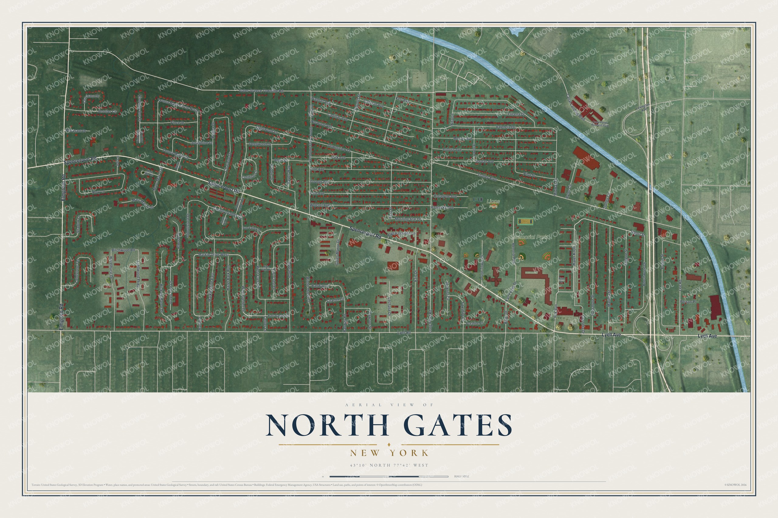
This beautifully detailed map of North Gates, New York was created in 2026 using aerial imagery combined with modern topographical, census, street and landmark data. It’s a one-of-a-kind view of North Gates that combines accurate data with a vintage aesthetic. The map shows every building in its true location, many of the roads carry their names, and the shaded topographic relief shows the shape of the land.
Explore an aerial view of North Gates, New York
On the map you’ll find Fox Run, Haver Knoll, Memorial Park, and Lions Park, along with Spencerport Road, Elmgrove Road, Lyell Avenue, and more. If you look closely you can even find your house accurately drawn in its correct location. Zoom in on the preview to look for yours.
Take a closer look at the North Gates map
Names on this map
These names are printed on this map.
Places: Memorial Park, Lions Park and Canal Ponds Business Park.
Streets and roads: Spencerport Road, Elmgrove Road, Lyell Avenue, Fox Run, Haver Knoll, Albert Street, Markie Drive West, Gates Greece Townline Road, West Garden Drive, Baier Drive, Lee Road, Lightwood Lane.
More street names, A to Z
Abbottsford Drive, Adair Drive, Appian Drive, Atwood Drive, Auburn Avenue, Beechwood Drive, Birchwood Road, Bobbie Drive, Cadillac Avenue, Calhoun Avenue, Canal Landing Boulevard, Center Lane, Charisma Drive, Charlene Drive, Charter Circle, Cole Avenue, Cornelia Drive, Cotillion Court, Country Gables Circle, Country Gables Drive, Dawson Street, Deepwood Drive, Donna Marie Circle, Donna Marie Circle North, Downsview Drive, Dunn Tower Drive, East Crest Drive, East Garden Drive, Eugene Street, Evelyn Street, Ezio Drive, First Street, Ford Avenue, Fox Court, Foxshire Circle, Foxshire Lane, Gates Manor Drive, Green Tree Lane, Hazel Bark Run, Hazelhurst Drive, Hickory Manor Drive, High Gate Drive, Hytec Circle, Jackrist Circle, Jennifer Circle, Jewett Street, Joli Lane, Jordan Avenue, Josephine Drive, Karl Fuchs Drive, Kentucky Avenue, Kerr Avenue, Kimberly Ann Drive, Kimberly Anne Drive, Koladyne Avenue, Landstone Terrace, Lechase Drive, Lexington Avenue, Long Pond Road, Lucena Drive, Lyell Road, Lyellwood Parkway, Marc-Mar Trail, Marc Mar Circle, Marc Mar Trail, Markie Drive, Markie Drive East, Matilda Street, Mercer Avenue, Midway Drive, Morning Star Drive, Nisa Lane, Norwood Avenue, Nory Lane, Park Avenue, Person Place, Pheasant Drive, Pilot Street, Poplar Garden Lane, Rahway Lane, Rahway Road, Raven Way, Regina Drive, Rossmore Street, Second Street, Shadow Lane, South Hill Circle, Steve Drive, Sun Valley Drive, Trolley Boulevard, Trolley Circle, Valencia Drive, Vendome Drive North, Vendome Drive South, Vince Drive, Waldorf Avenue, West Crest Drive, Winter Hazel Court, Wolcott Avenue, Youngs Avenue.
See it on a wall
The North Gates map as a framed print. Swipe for more.


This beautifully detailed map of North Gates makes an attractive addition to your office, library, or den, and it can even be used to teach children the geography and history of the area. It also makes a great gift for anyone who grew up in North Gates or moved away. When you’re done exploring, click here to get your copy of the North Gates map.