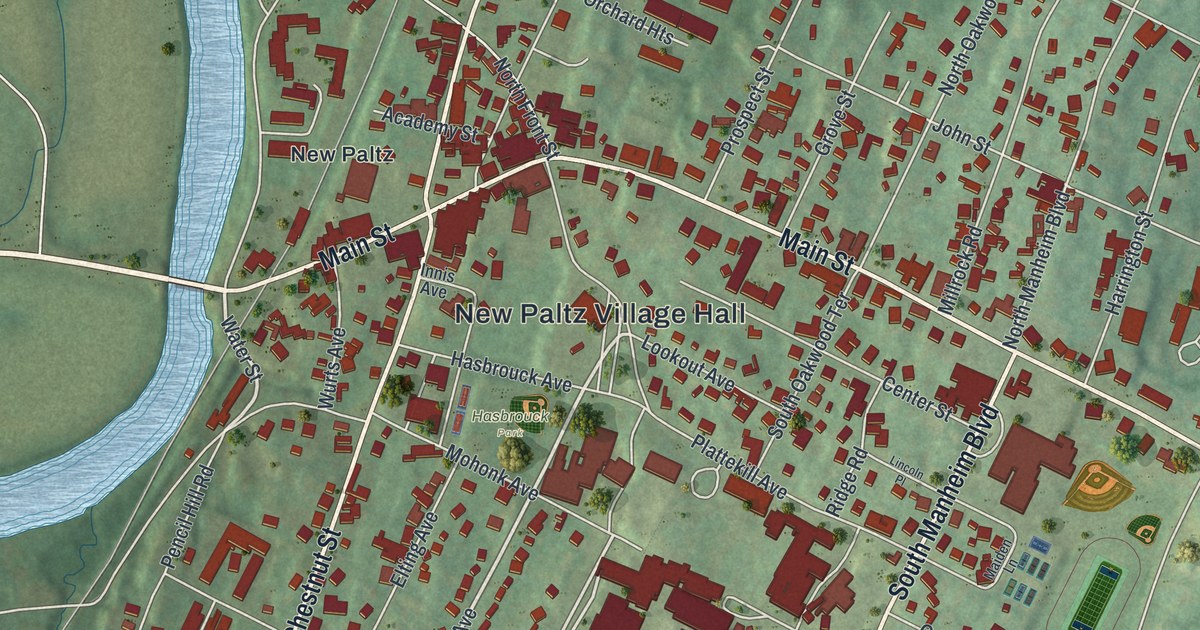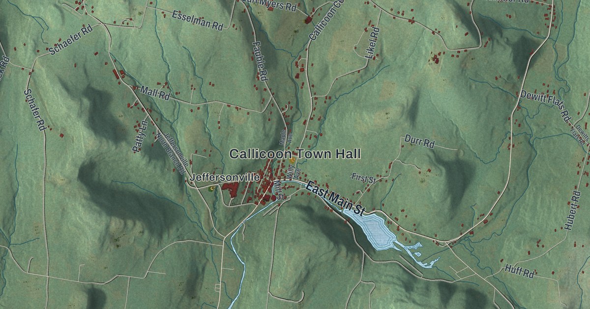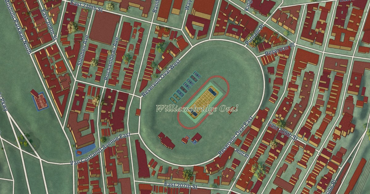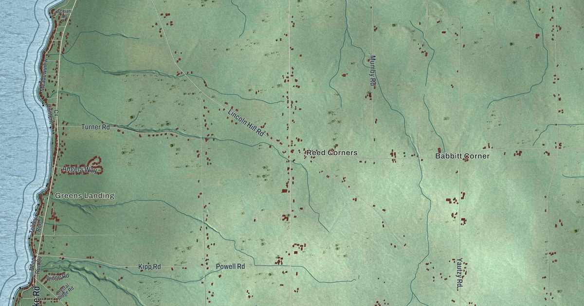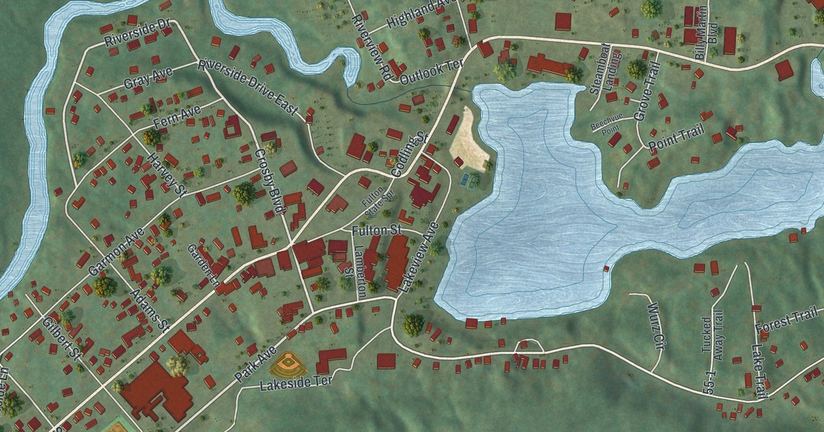
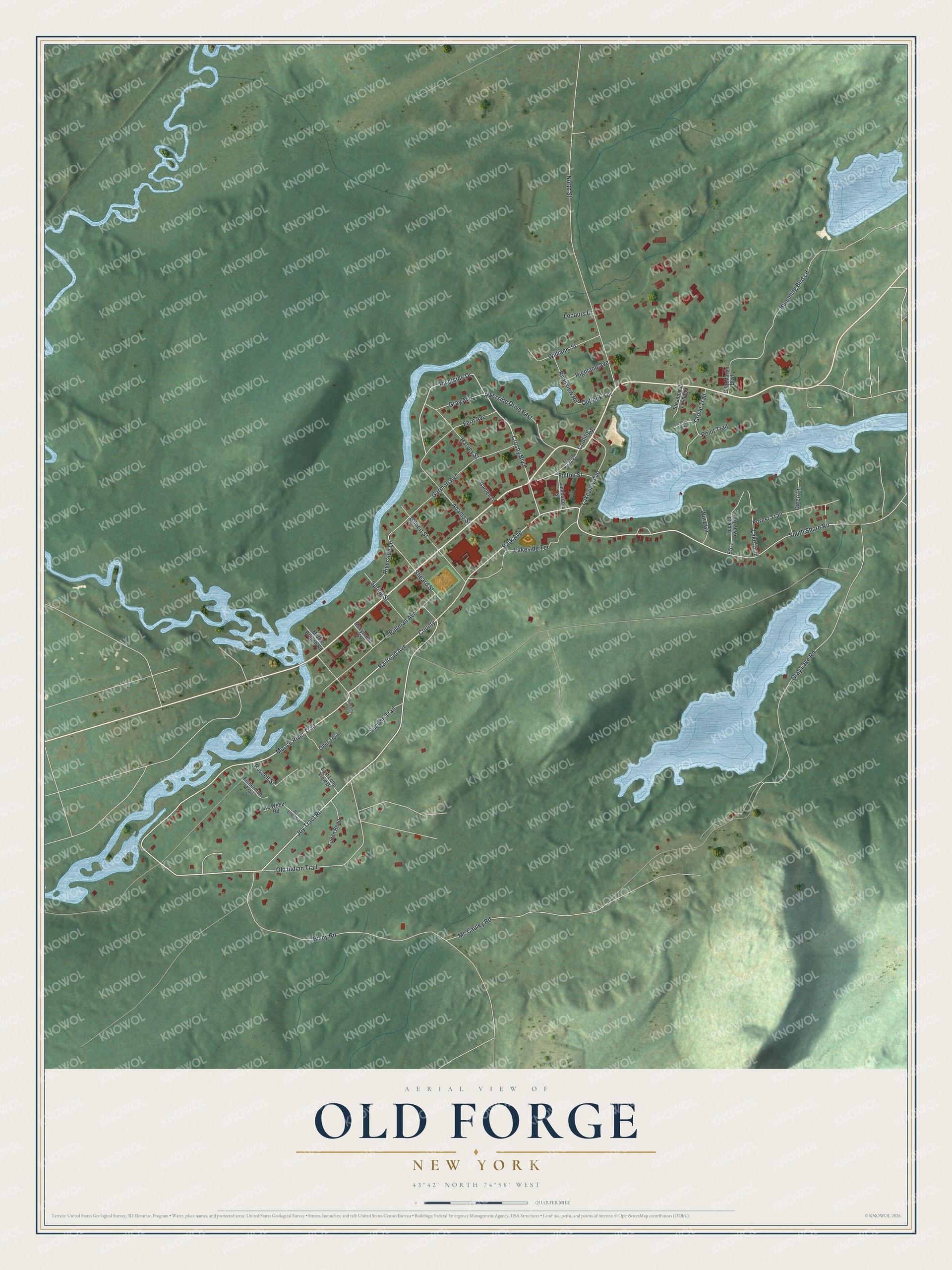
This beautifully detailed map of Old Forge, New York was created in 2026 using aerial imagery combined with modern topographical, census, street and landmark data. It’s a one-of-a-kind view of Old Forge that combines accurate data with a vintage aesthetic. The map shows every building in its true location, many of the roads carry their names, and the shaded topographic relief shows the shape of the land.
Explore an aerial view of Old Forge, New York
On the map you’ll find Park Avenue, Railroad Avenue, Joy Tract Road, Moose River Trail, Crosby Boulevard, and more. If you look closely you can even find your house accurately drawn in its correct location. Zoom in on the preview to look for yours.
Did You Know?
On February 17, 1979, Old Forge set the record low temperature for New York State at 52 degrees below zero. The hamlet in the town of Webb often records the coldest winter readings in the state. USA Today called it the Snowmobile Capital of the East.
Take a closer look at the Old Forge map
Names on this map
These names are printed on this map.
Streets and roads: Park Avenue, Railroad Avenue, Joy Tract Road, Moose River Trail, Crosby Boulevard, Riverside Drive, Sheard Street, County, South Shore Road, Gray Lake Road, Old Indian Trail, Bisby Road.
More street names, A to Z
Adams Street, Beechvue Point, Billy Martin Boulevard, Codling Street, Decamp Street, East Long View Drive, Fern Avenue, Fisherman Trail, Forest Trail, Fulton Bend, Fulton State Spr, Fulton Street, Garden Lane, Garmon Avenue, Gilbert Street, Gray Avenue, Grove Trail, Harvey Street, Highland Avenue, Humming Bird Lane, Jcw Eber Road, Kc Weber Road, Lakeside Terrace, Lake Trail, Lakeview Avenue, Lamberton Street, Lecours Drive, Mc Cauley Road, McLymond Street, Middle Branch Road, North Street, Otter Trail, Outlook Terrace, Owen Lane, Point Trail, Pullman Avenue, Riverside Drive East, Riverside Lane, Riverview Road, Russell Street, Spring Street, Steamboat Landing, Sunrise Trail, Tucked Away Trail, Williams Street, Wurz Circle.
See it on a wall
The Old Forge map as a framed print. Swipe for more.


This beautifully detailed map of Old Forge makes an attractive addition to your office, library, or den, and it can even be used to teach children the geography and history of the area. It also makes a great gift for anyone with Old Forge roots. When you’re done exploring, click here to get your copy of the Old Forge map.