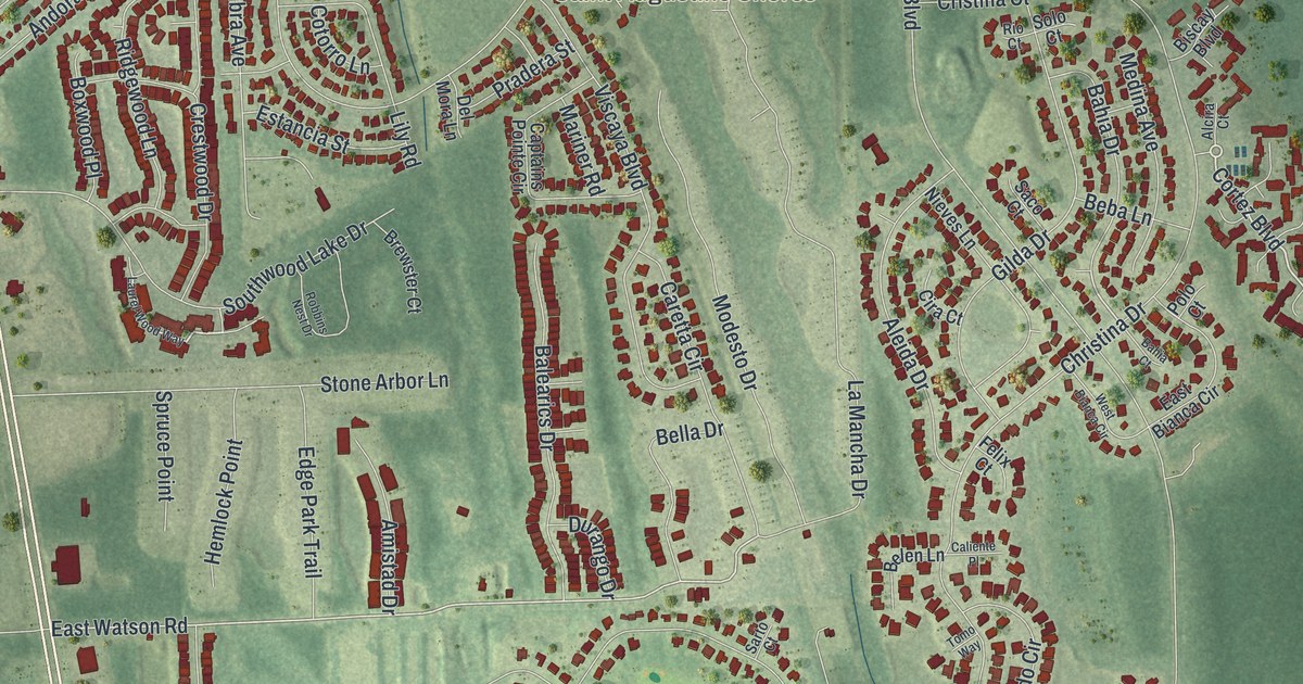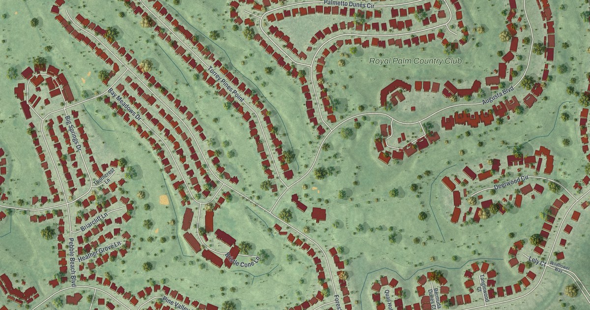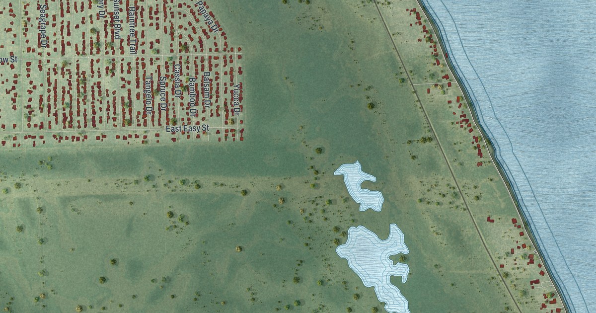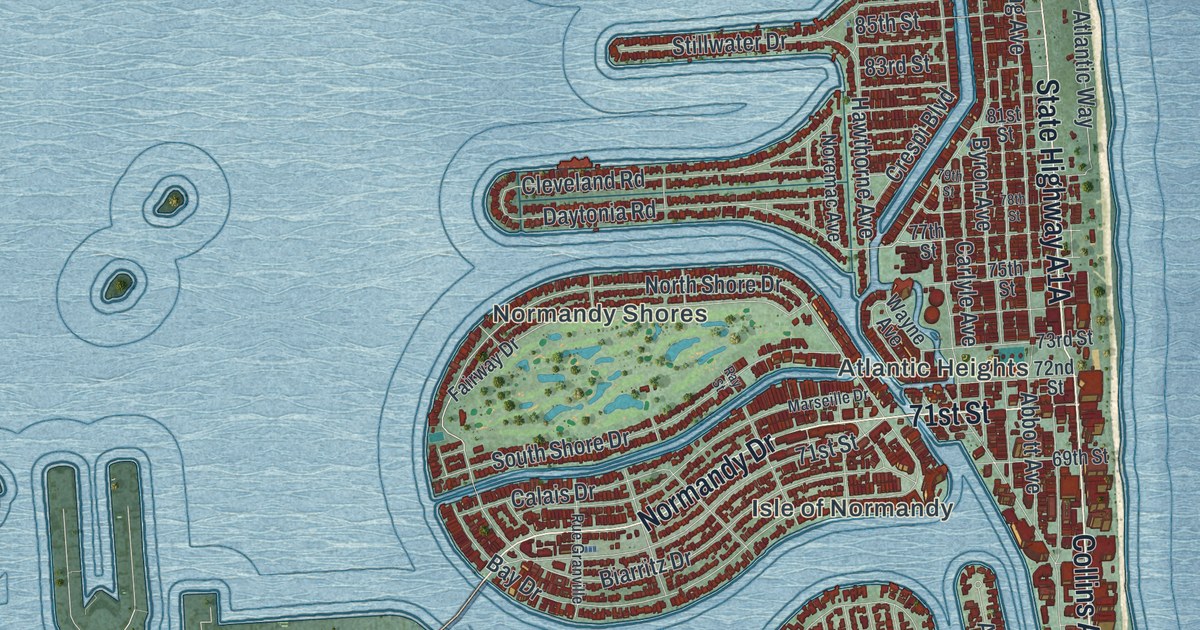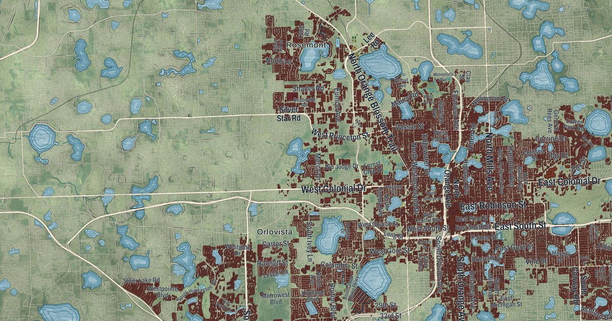
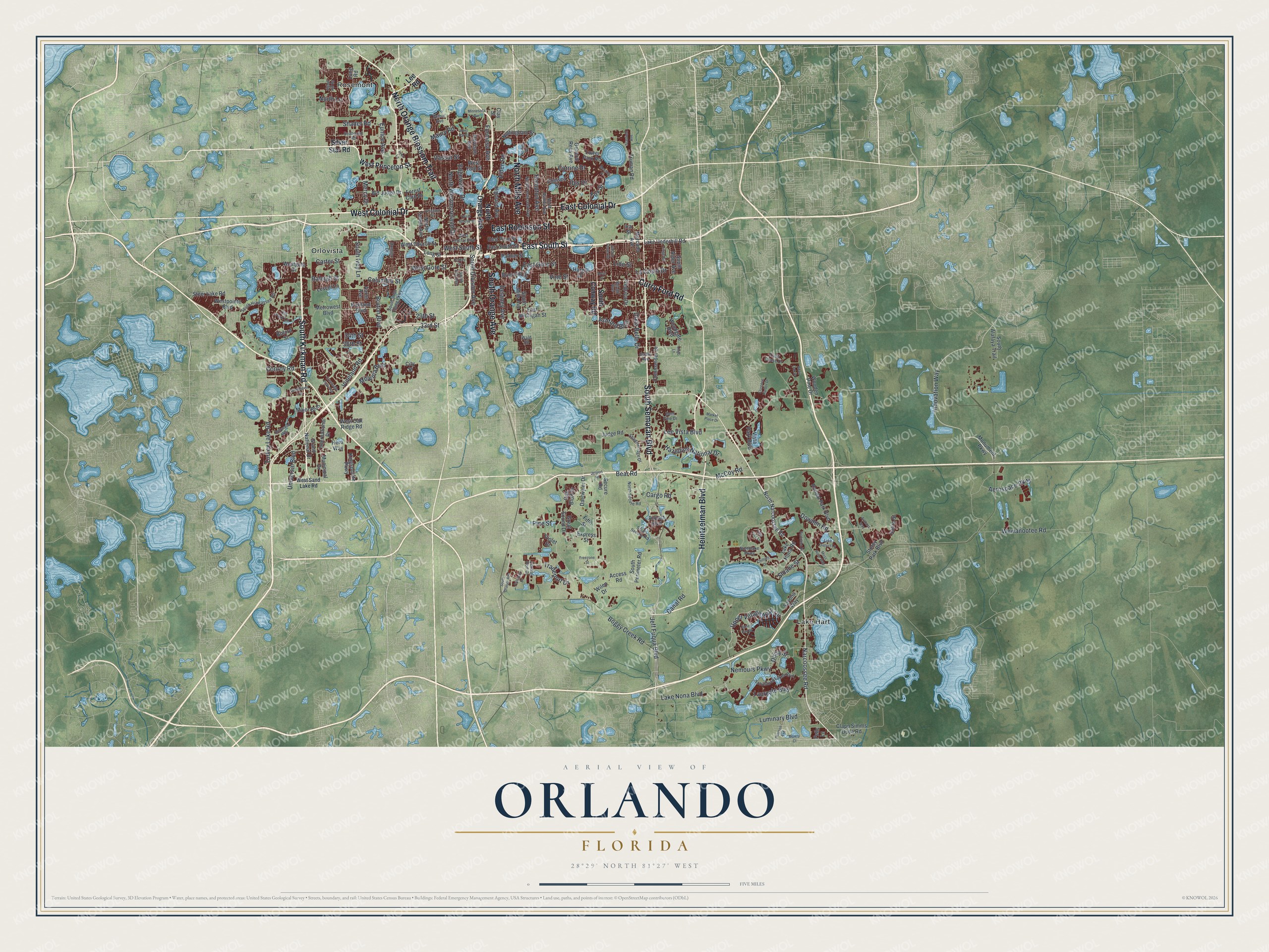
This beautifully detailed map of Orlando, Florida was created in 2026 using aerial imagery combined with modern topographical, census, street and landmark data. It’s a one-of-a-kind view of Orlando that combines accurate data with a vintage aesthetic. The map shows every building in its true location, many of the roads carry their names, and the shaded topographic relief shows the shape of the land.
Explore an aerial view of Orlando, Florida
On the map you’ll find Lake Hart, Orlovista, and Rosemont, along with South Kirkman Road, North Orange Blossom Trail, West Colonial Drive, East Colonial Drive, North Mills Avenue, East Robinson Street, East South Street, South Semoran Boulevard, Heintzelman Boulevard, and more. If you look closely you can even find your house accurately drawn in its correct location. Zoom in on the preview to look for yours.
Did You Know?
The Army built Fort Gatlin near here in 1838 during the Second Seminole War. It honored John S. Gatlin, a military doctor killed in the Dade battle of 1835. Georgia cattlemen Isaac and Aaron Jernigan settled close by in 1843, and the village became Jernigan. In 1857 its post office moved and reopened as Orlando.
Take a closer look at the Orlando map
Names on this map
These names are printed on this map.
Places: Lake Hart, Orlovista and Rosemont.
Streets and roads: South Kirkman Road, North Orange Blossom Trail, West Colonial Drive, East Colonial Drive, North Mills Avenue, East Robinson Street, East South Street, South Semoran Boulevard, Heintzelman Boulevard, Curry Ford Road, South Orange Avenue, Narcoossee Road.
More street names, A to Z
29th Street, 33rd Street, 34th Street, 36th Street, Aaron Avenue, Access Road, Adair Oak Drive, Aerospace Parkway, Airport Boulevard, Alden Road, Arcie Street, Arlington Street, Arthur Avenue, Ashford Boulevard, Authors Way, Bear Road, Bel Air Avenue, Bent Pine Drive, Boggy Creek Road, Briercliff Drive, Bruton Boulevard, Buford Street, Canal Road, Cargo Road, Carter Street, Central Port Drive, Chelsea Street, Chiltern Drive, City Street, Clapp Simms Duda Road, Clay Street, Columbia Street, Commander Drive, Conley Street, Conroy Road, Corrine Drive, Creekside Park Avenue, Daetwyler Drive, Delaney Avenue, Dixie Belle Drive, Doisy Street, Domino Drive, Dowden Road, East Gore Street, East Michigan Street, East Pine Street, Edgewater Drive, Engel Drive, Eunice Avenue, Express Street, Fells Lane, Fifth Street, Florence Harbor Drive, Forest Club Drive, Formosa Avenue, Fox Street, Fredrica Drive, Freezone Street, Gaston Foster Road, Gatlin Avenue, General Rees Avenue, Grand National Drive, Great Sound Drive, Hampton Avenue, Hargill Drive, Harrison Avenue, Hazeltine National Drive, Hero Way, Highland Avenue, Hollywood Way, Ibis Drive, Innovation Way, International Drive, Ira Street, James Bay Drive, Jeff Fuqua Boulevard, Jetport Road, Judge Road, Kingspointe Parkway, Kirkland Boulevard, La Costa Drive, Lake District Lane, Lake Nona Boulevard, Lake Nona Road, Lake Underhill Road, Laureate Boulevard, Lee Road, Lee Vista Boulevard, Lescot Lane, Lido Street, Lingo Lane, Long Road, Long Street, Lower Park Road, Luminary Boulevard, Lynx Lane, Major Boulevard, Market Place Drive, Maury Road, McCoy Road, Meeting Place, Mercado Avenue, Mercy Drive, Metrowest Boulevard, Millenia Boulevard, Minnesota Avenue, Monument Parkway, Moss Rose Way, Mowry Court, Municipal Drive, Nemours Parkway, Norfolk Road, North Bumby Avenue, North Ferncreek Avenue, Northlake Parkway, North Lane, North Narcoossee Road, North Orange Avenue, North Secure Road, North Tampa Avenue, North Westmoreland Drive, Nottingham Street, Oak Bluff Drive, Old Park Lane, Palmbay Drive, Palmer Street, Pearson Avenue, Pine Street, Portofino Drive, Raleigh Street, Randal Park Boulevard, Satire Street, Savona Way, Seaboard Road, Secure Road, Shader Road, Shadowridge Drive, Signal Hill Road, Silver Star Road, Sloane Street, South Alafaya Trail, South Alder Avenue, South Conway Road, South Division Avenue, South Hiawassee Road, South Ivey Lane, South John Young Parkway, South Lee Avenue, South Mills Avenue, South Perimeter Road, South Secure Road, Stanfield Avenue, Steer Lake Road, Storey Park Boulevard, Tivoli Chase Drive, Tradeport Drive, Travistock Lakes Boulevard, Truman Road, Tulip Tree Lane, Turkey Lake Road, Universal Boulevard, Upper Villagewalk Circle, Vassar Street, Vineland Road, Vine Street, Violet Drive, Vista Park Boulevard, Wald Road, Wd Judge Drive, West Amelia Street, West Central Boulevard, West Church Street, Westgate Drive, West Gore Street, West Oak Ridge Road, West Par Street, Westpointe Boulevard, West Princeton Street, West Sand Lake Road, West South Street, West Yale Street, Wewahootee Road, Wiley Drive, Windhover Drive, Wooden Pine Drive, Woodgate Boulevard.
See it on a wall
The Orlando map as a framed print. Swipe for more.


This beautifully detailed map of Orlando makes an attractive addition to your office, library, or den, and it can even be used to teach children the geography and history of the area. It also makes a great gift for anyone who grew up in Orlando or moved away. When you’re done exploring, click here to get your copy of the Orlando map.