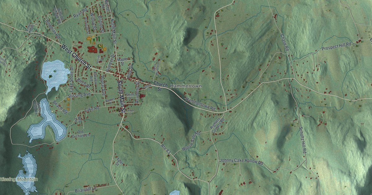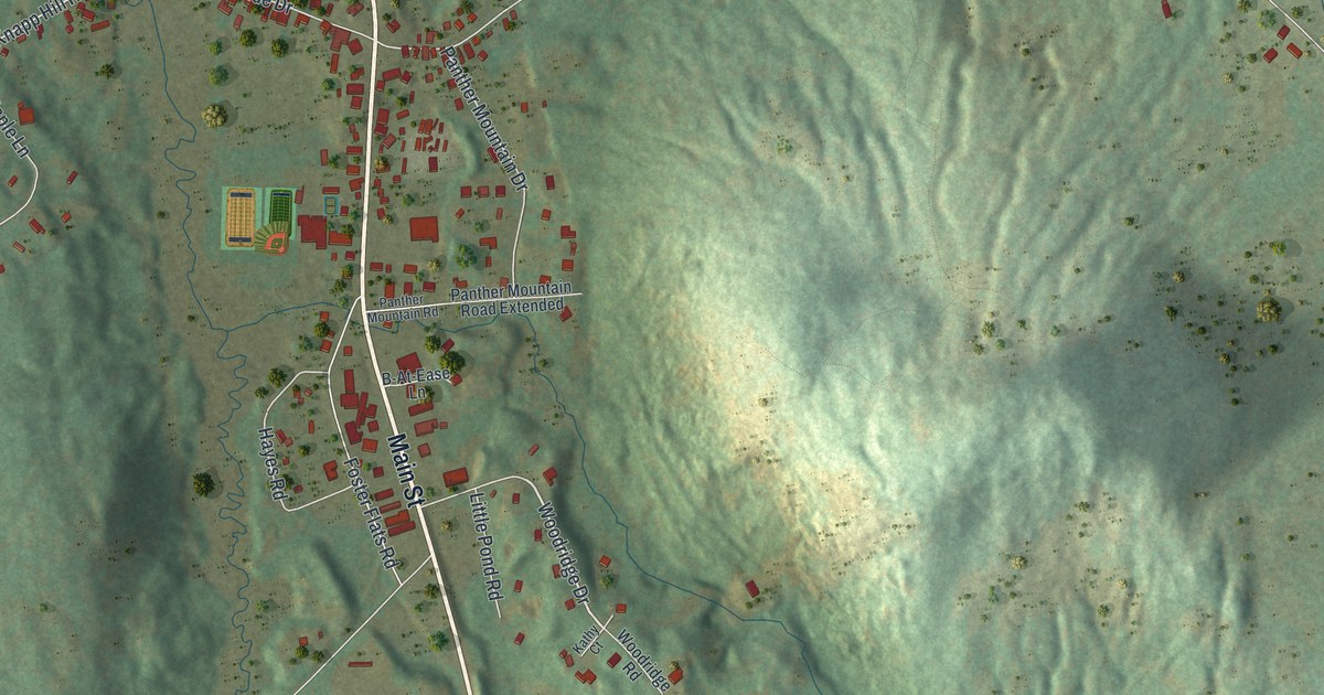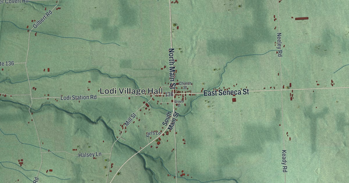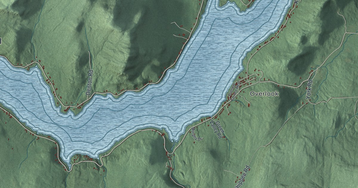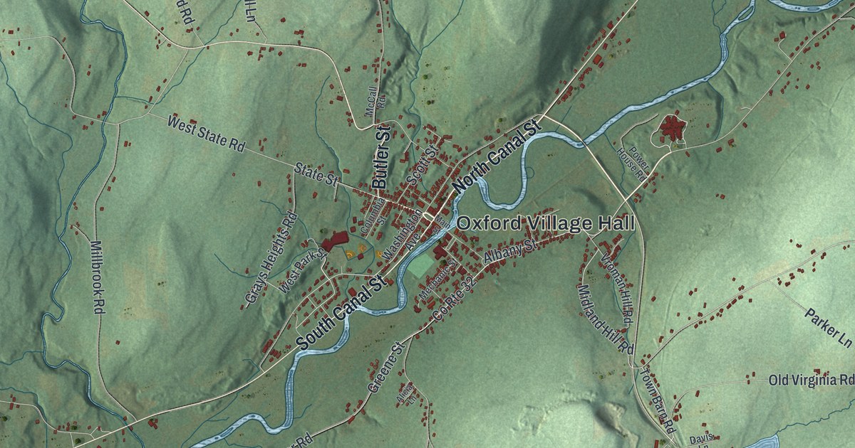
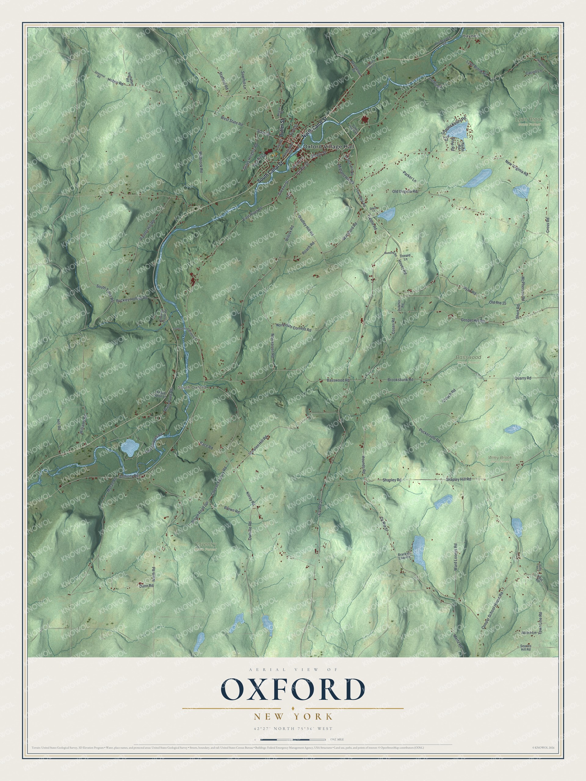
This beautifully detailed map of Oxford, New York was created in 2026 using aerial imagery combined with modern topographical, census, street and landmark data. It’s a one-of-a-kind view of Oxford that combines accurate data with a vintage aesthetic. The map shows every building in its true location, many of the roads carry their names, and the shaded topographic relief shows the shape of the land.
Explore an aerial view of Oxford, New York
On the map you’ll find Oxford Village Hall, South Oxford, Haynes, Basswood State Forest, Coventry State Forest, Lyon Brook State Forest, and Wiley Brook State Forest, along with Canal Street, Butler Street, River Road, Trestle Road, and more. If you look closely you can even find your house accurately drawn in its correct location. Zoom in on the preview to look for yours.
Did You Know?
Settlers reached Oxford in the spring of 1789. Elijah Blackman came with his son Jabez and Polly Knapp, his adopted daughter. They put up a rough log cabin on a Chenango River island. Benjamin Hovey of Oxford, Massachusetts, had already bought that island. When he came to claim it, he paid the family for their work with other land.
Take a closer look at the Oxford map
Names on this map
These names are printed on this map.
Places: Oxford Village Hall, South Oxford, Basswood State Forest, Coventry State Forest, Lyon Brook State Forest, Wiley Brook State Forest and Haynes.
Streets and roads: North Canal Street, South Canal Street, Butler Street, East River Road, State Street, Trestle Road, County Route 32, Old Route 35, Greene Street, Grays Heights Road, New Virginia Road, Ryan Road.
More street names, A to Z
Acorn Lane, Albany Street, Alicia Lane, Anthony Road, Basswood Road, Bowman Creek Road, Brackett Lake Road, Bradley Hill Road, Brooksbank Road, Brown Road, Brown Road Spr, Buckley Hollow Road, Carroll Lane, Case Road, Charles Kelley Road, Cheese Factory Road, Columbia Street, Cooper School House Road, Cosen Road, County Route 17, County Route 27, Cross Road, Crouch Road, Davis Lane, Donald Lane, Dubois Road, Dumond Road, Dunn Road, Dutcher Road, Georgetown Road, Gospel Hill Road, Haven Road, Hill Road, Hoben Road, Hovey Road, Ingraham Road, Kent Road, Kilroy Road, Knapp Knoll Lane, Lyon Brook Road, Main Street, Manwarren Road, McCall Road, McPherson Road, Mechanic Street, Mertz Road, Midland Hill Road, Millbrook Road, Moran Road, North Road, Northrups Corners Road, Old State Route 12, Old Virginia Road, Owlville Road, Painter Hill Road, Parker Lane, Phetteplace Road, Pine Road, Power House Road, Puckerville Road, Quarry Road, Race Road, Roach Road, Rounds Road, Ruling Lane, Sawmill Lane, Scott Street, Scouten Hill Road, Searles Hill Road, Seasonal Road, Shapley Hill Road, Shapley Road, Short Road, South Oxford Bridge Road, South Tyner Road, Stafford Road, Town Barn Road, Town Line Road, Twin Bridges Road, Vroman Hill Road, Wackford Road, Wahhlberg Road, Ward Loomis Road, Warn Pond Road, Washington Avenue, West Park Street, West State Road, Wilcox Road, Williams Road.
See it on a wall
The Oxford map as a framed print. Swipe for more.


This beautifully detailed map of Oxford makes an attractive addition to your office, library, or den, and it can even be used to teach children the geography and history of the area. It also makes a great gift for anyone with Oxford roots. When you’re done exploring, click here to get your copy of the Oxford map.