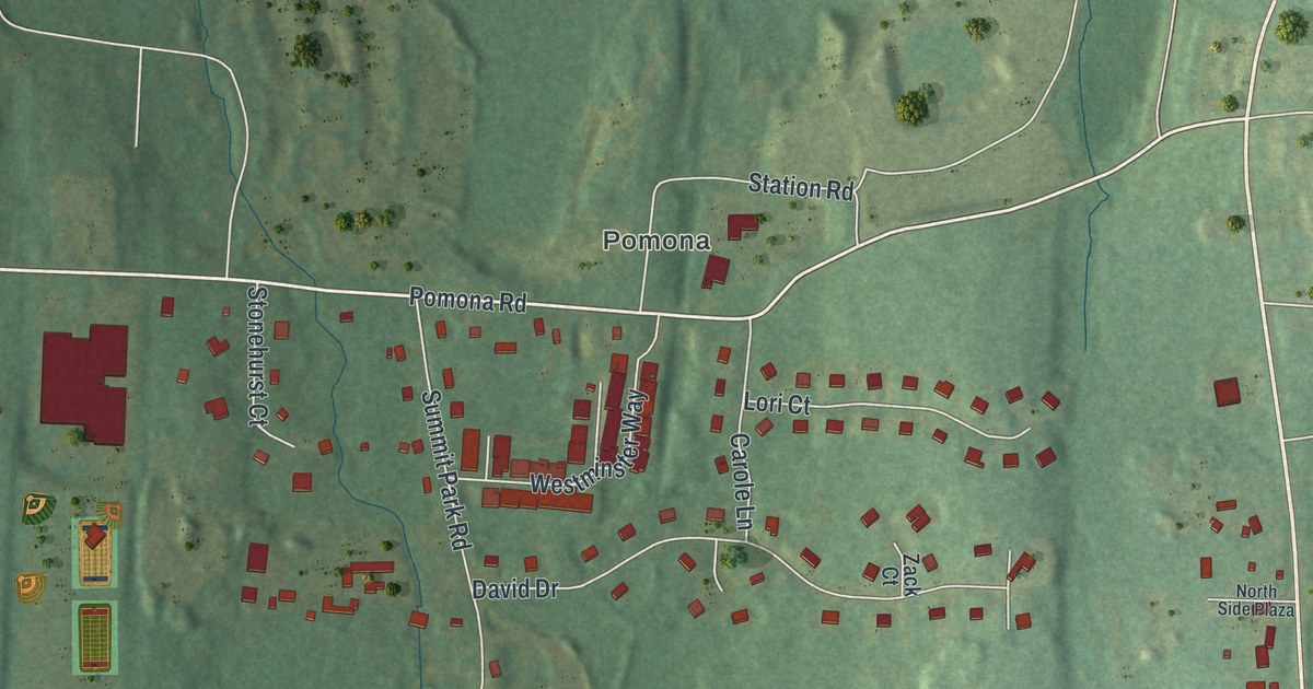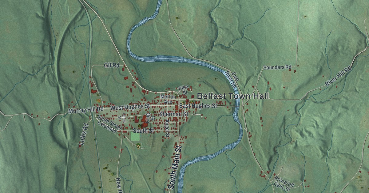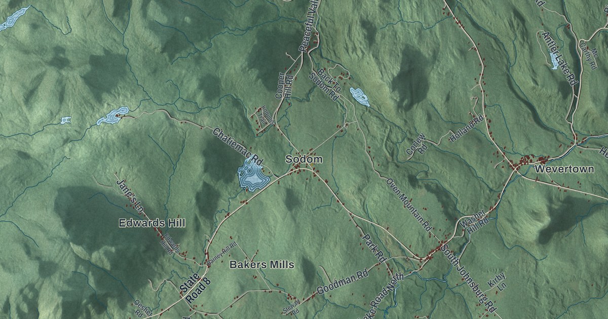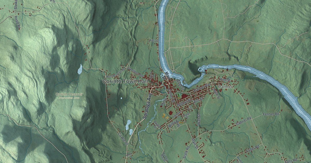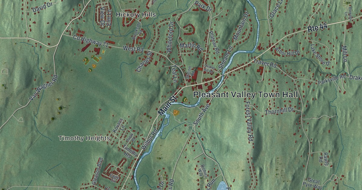
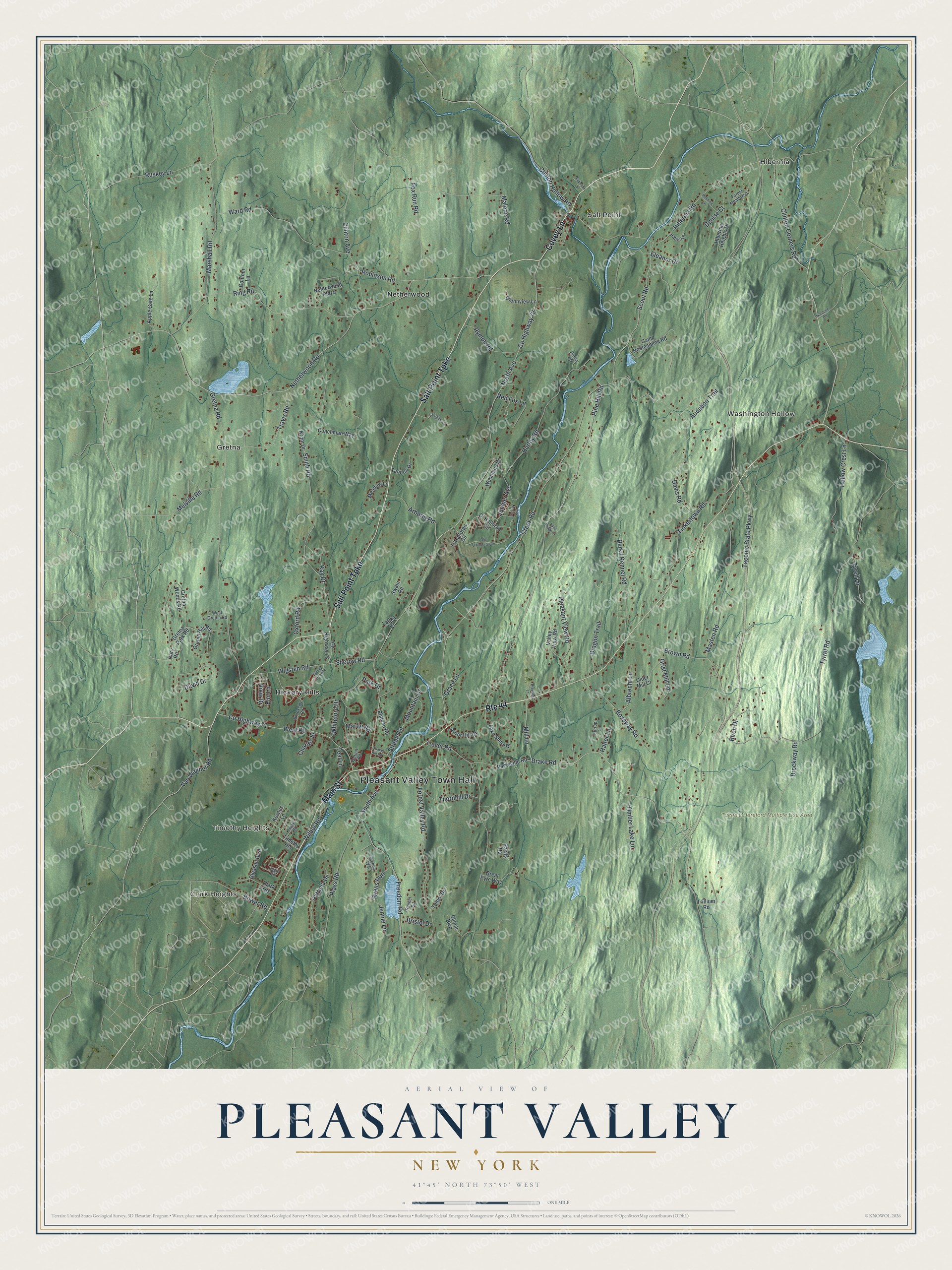
This beautifully detailed map of Pleasant Valley, New York was created in 2026 using aerial imagery combined with modern topographical, census, street and landmark data. It’s a one-of-a-kind view of Pleasant Valley that combines accurate data with a vintage aesthetic. The map shows every building in its true location, many of the roads carry their names, and the shaded topographic relief shows the shape of the land.
Explore an aerial view of Pleasant Valley, New York
On the map you’ll find Pleasant Valley Town Hall, Clark Heights, Salt Point, Timothy Heights, Washington Hollow, and Gretna, along with Salt Point Turnpike, Covey Lane, Main Street, Pine Hill Road, and more. If you look closely you can even find your house accurately drawn in its correct location. Zoom in on the preview to look for yours.
Did You Know?
Quakers and Presbyterians settled Pleasant Valley in 1740. In 1940, two hundred years after they came, a fine example of a Quaker meetinghouse still stood in the village. That’s from the 1940 WPA guide to New York.
Take a closer look at the Pleasant Valley map
Names on this map
These names are printed on this map.
Places: Pleasant Valley Town Hall, Clark Heights, Salt Point, Timothy Heights, Washington Hollow, Taconic Hereford Multiple Use Area, Gretna, Hibernia, Hickory Hills and Netherwood.
Streets and roads: Route 44, Salt Point Turnpike, Covey Lane, Main Street, Pine Hill Road, Drake Road, Scout Road, Mill Lane, Hurley Road, Creek Road, Barkit Kennel Road, Wilbur Road.
More street names, A to Z
Albrecht Lane, Apple Gate Lane, Arbor Hill Drive, Arborio Road, Audubon Trail, Bilmar Boulevard, Birch Drive, Bobolink Lane, Bower Road, Brewster Lane, Bristol Drive, Brockway Road, Brookside Road, Brown Road, Camp Nooteeming Road, Cary Road, Charles Street, Cider Mill Court, Clinton Avenue, Clinton Corners Road, Clinton Hollow Road, Coachman Way, Contour Lane, County Highway 71, County Highway 72, County Highway 73, David Drive, Davis Road, Denise Court, Dragon Trail, Dupay Road, Eagle Circle, Eleanor Drive, Elm Lane, Forest Meadow Drive, Forest Valley Road, Fox Run Road, Freedom Road, Gallagher Drive, Gleason Boulevard, Glennview Lane, Grace Lane, Great Pyre Way, Gretna Hill Road, Gretna Park Road, Gretna Road, Gretna Woods Road, Grist Mill Lane, Halter Lane, Hattie Lane, Hibernia Heights Drive, Hibernia Road, Hollow Crest Lane, Hurley Heights, Jennie Lane, Juniper Avenue, Kay Drive, Kovacs Lane, Krom Drive, Lake Lodge Drive, Lake Shore Drive, Latika Court, Locust Avenue, Malone Road, Marshall Road, Martin Road, Masten Road, Meadow Lane, Melville Road, Mountain Drive, Nardone Road, Netherwood Plaza, Netherwood Road, North Avenue, O' Halloran Circle, O'Halloran Circle, Old O'Halloran Circle, Oxford Road, Park Drive, Parksville Road, Patricia Drive, Plass Road, Plateau Road, Pleasant View Road, Promise Lane, Quaker Hill Road, Rachel Road, Rawls Road, Red Fox Lane, Richies Way, Ring Road, Robinson Road, Rossway Road, Ruskey Lane, Ryans Run, Rymph Road, Sherow Road, Smith Road, South Avenue, Spring Creek Drive, Station Road, Stirrup Lane, Stream Lane, Swain Road, Taconic State Parkway, Talbot Drive, Tannen Drive, Teal Lane, Thornhill Drive, Timber Lake Lane, Tinkertown Road, Traver Road, Travis Road, Trillium Road, Tyrell Lane, Tyrrel Road, Valley View Road, Van Wagner Road, View Drive, Ward Road, West Gretna Road, West Road, Whiteford Drive, Wigsten Road, Woodland Drive.
See it on a wall
The Pleasant Valley map as a framed print. Swipe for more.


This beautifully detailed map of Pleasant Valley makes an attractive addition to your office, library, or den, and it can even be used to teach children the geography and history of the area. It also makes a great gift for someone who left Pleasant Valley and still calls it home. When you’re done exploring, click here to get your copy of the Pleasant Valley map.