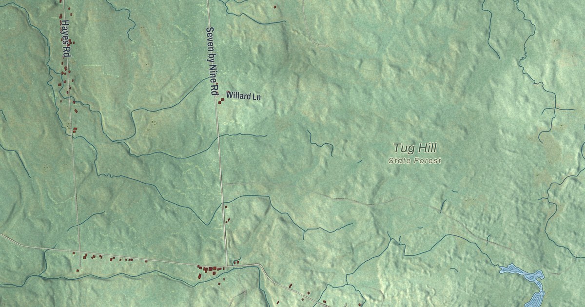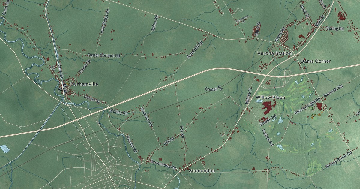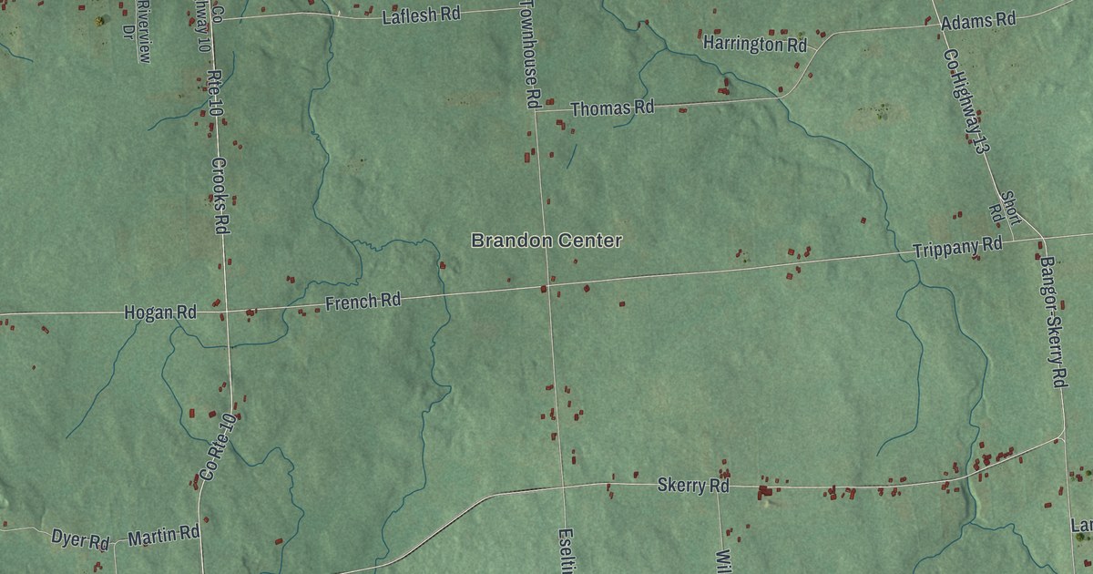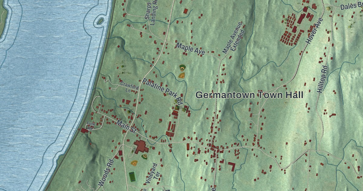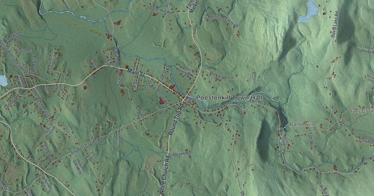
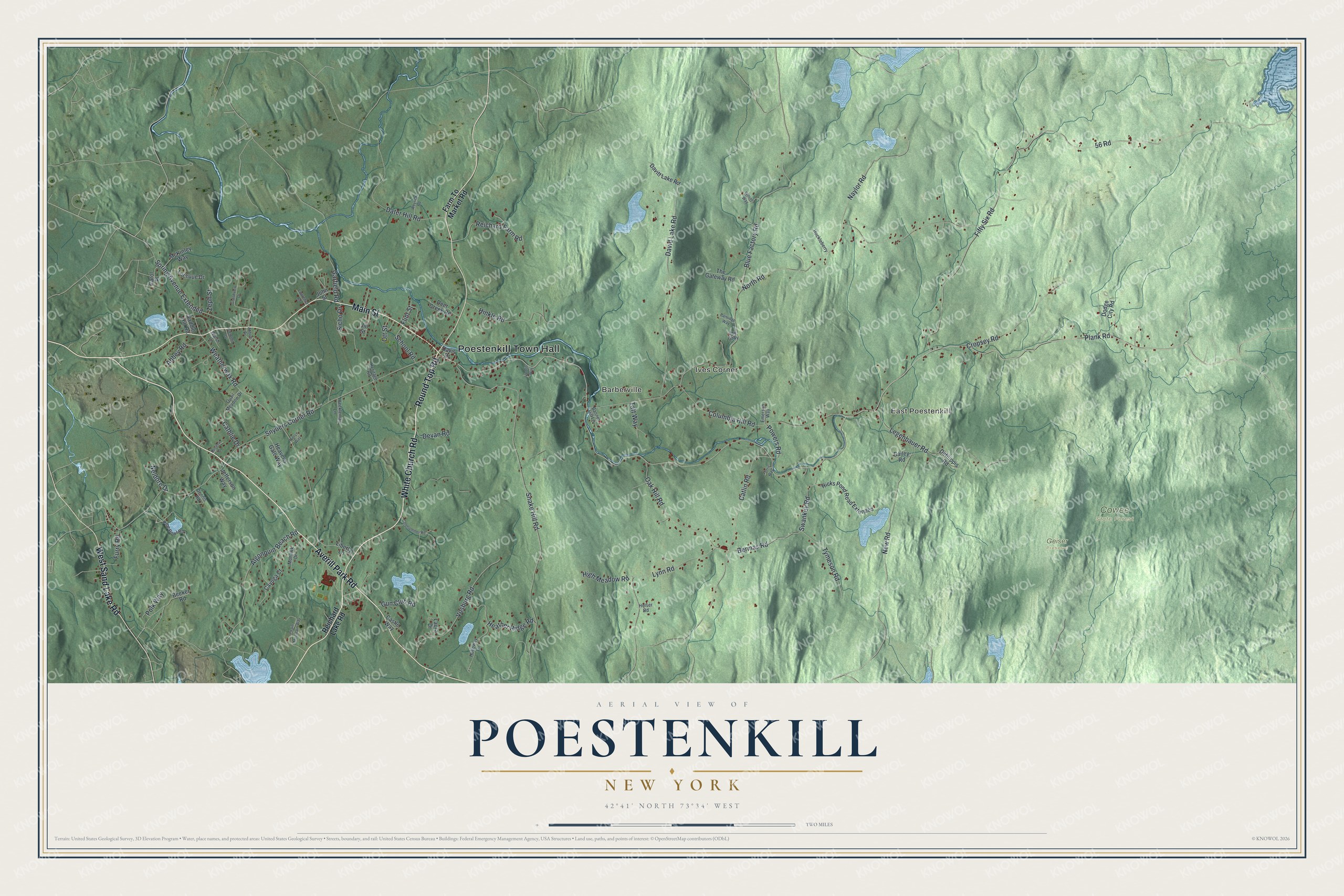
This beautifully detailed map of Poestenkill, New York was created in 2026 using aerial imagery combined with modern topographical, census, street and landmark data. It’s a one-of-a-kind view of Poestenkill that combines accurate data with a vintage aesthetic. The map shows every building in its true location, many of the roads carry their names, and the shaded topographic relief shows the shape of the land.
Explore an aerial view of Poestenkill, New York
On the map you’ll find Poestenkill Town Hall, East Poestenkill, Barberville, Ives Corner, Cowee State Forest, and Geiser Preserve, along with White Church Road, Round Top Road, Averill Park Road, Main Street, and more. If you look closely you can even find your house accurately drawn in its correct location. Zoom in on the preview to look for yours.
Did You Know?
In 1856 James A. Garfield thought about taking a job in Poestenkill. He looked at the post of high school principal here. Another applicant won the job instead. Garfield later became President of the United States.
Take a closer look at the Poestenkill map
Names on this map
These names are printed on this map.
Places: Poestenkill Town Hall, East Poestenkill, Barberville, Ives Corner, Cowee State Forest and Geiser Preserve.
Streets and roads: White Church Road, Round Top Road, Averill Park Road, Main Street, West Sand Lake Road, Plank Road, Bermas Road, Swankey Road, Catlin Road, 56 Road, Fifty Six Road, Blue Factory Road.
More street names, A to Z
Abbey Road, Abbott Drive, Algonquin Beach Road, Bailey Road, Banner Hill Lane, Beeker Road, Carol Place, Castle Way, Cathlie Drive, Cayuga Court, Chain Mountain Way, Clement Drive, Colehammer Road, Columbia Hill Road, Cropsey Road, Dater Hill Road, David Lake Road, Davis Drive, Davitt Lake Road, Deer Creek Road, Defilippis Road, Dennis Road, Devan Road, Dodge City Road, Emerson Way, Farm To Market Road, Ferris Way, Flint Street, Furry Road, Garfield Road, Grandview Drive, Gun Club Road, Heather Ridge Road, Heavens Gate Way, Heckleman Lane, Heritage Road, Hicks Pond Road Extended, High Meadow Road, Hinkle Road, Holloway Lane, Holser Road, Huckleberry, Jefferson Way, Jill Street, John Street, Laura Drive, Lawrence Road, Legenbauer Road, Liberty Lane, Lochvue Drive, Lynn Road, McKinley Way, Mohawk Drive, Naylor Road, Neldore Drive, New Road, North Road, Oak Hill Road, Ott Street, Partridge Way, Pierce Way, Pine Bowl Road, Polk Way, Powers Road, Quail Meadow Drive, Reichard Farm Road, Reichard Lake Road, Rosena Drive, Saddle Hill Road, School Road, Sicho Drive, Snake Hill Road, Snyders Corner Road, Spring Avenue Extended, Taft Way, The Gateway Road, The Gtwy, Tymeson Road, Vooris Way, Vosburg Road, Walsh Lane, Weatherwax Road, Weyrick Road, Wilson Way, Zeph Street.
See it on a wall
The Poestenkill map as a framed print. Swipe for more.


This beautifully detailed map of Poestenkill makes an attractive addition to your office, library, or den, and it can even be used to teach children the geography and history of the area. It also makes a great gift for anyone who grew up in Poestenkill or moved away. When you’re done exploring, click here to get your copy of the Poestenkill map.