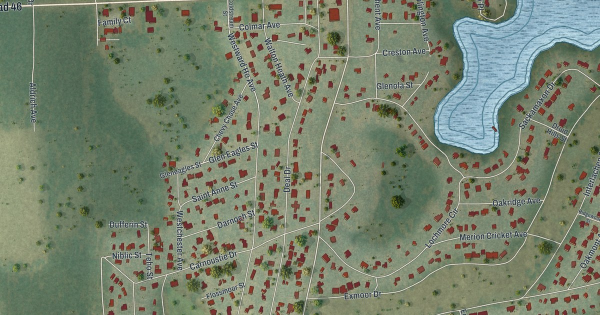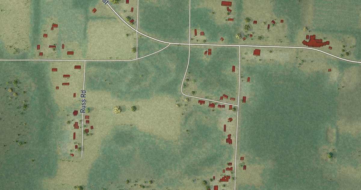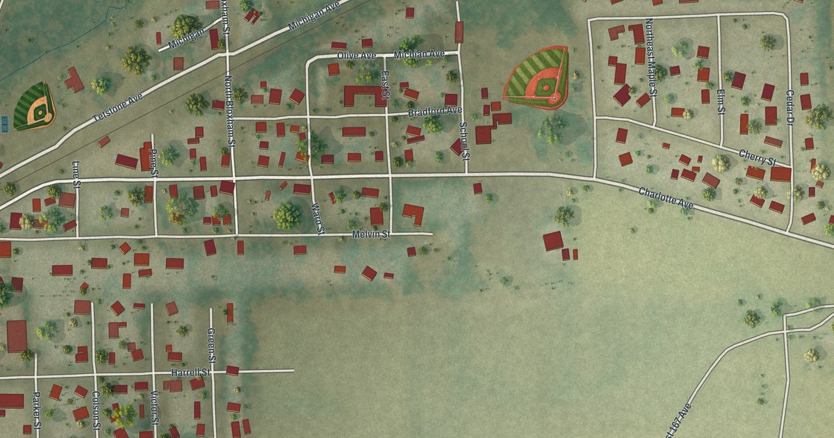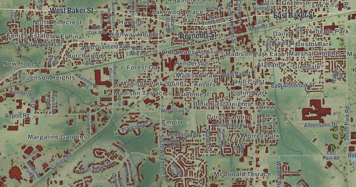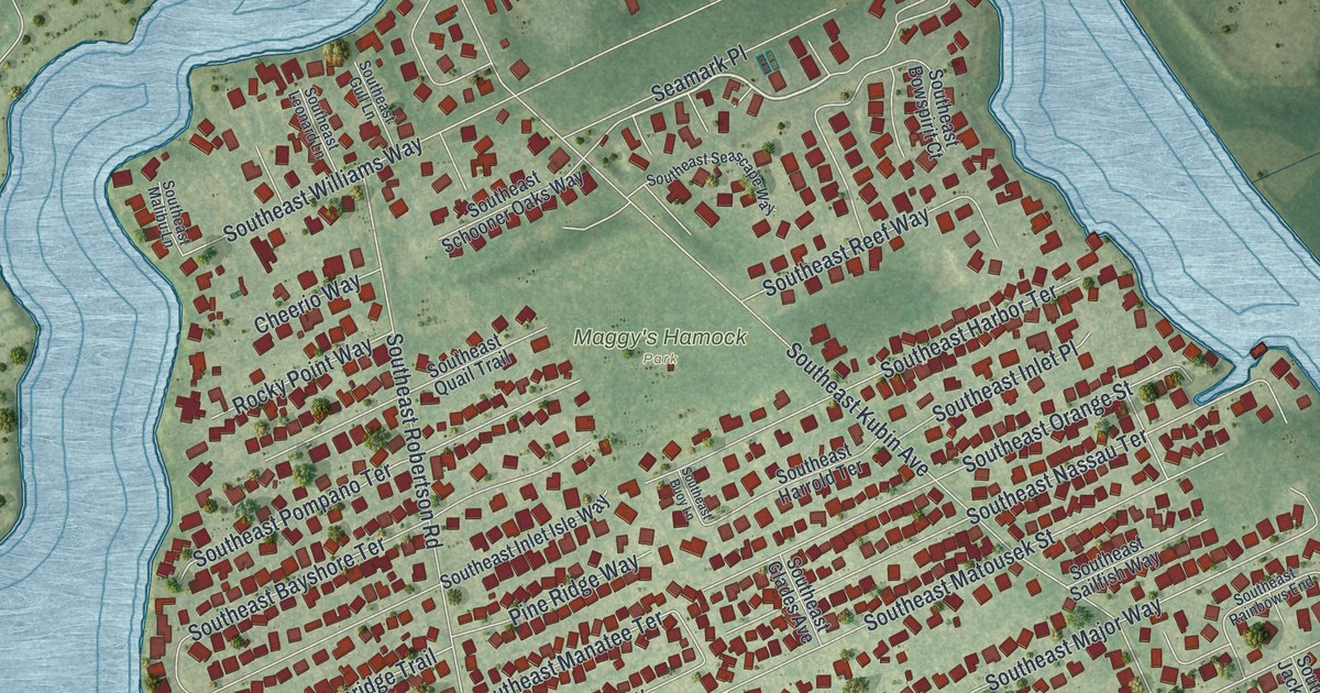
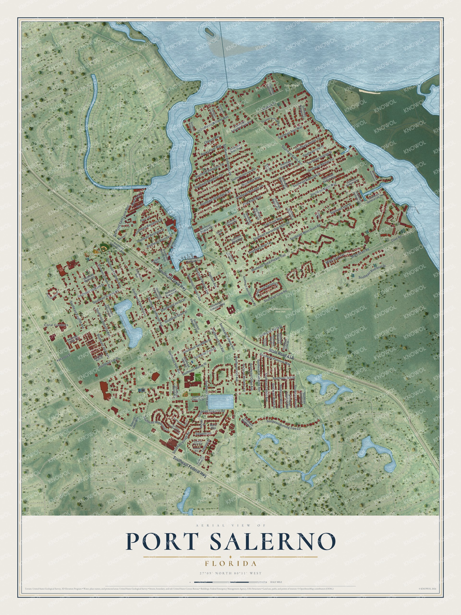
This beautifully detailed map of Port Salerno, Florida was created in 2026 using aerial imagery combined with modern topographical, census, street and landmark data. It’s a one-of-a-kind view of Port Salerno that combines accurate data with a vintage aesthetic. The map shows every building in its true location, many of the roads carry their names, and the shaded topographic relief shows the shape of the land.
Explore an aerial view of Port Salerno, Florida
On the map you’ll find Maggy’s Hamock Park, Seabranch Preserve State Park, Twin Rivers, Wojcieszak Park, and Coral Gardens, along with Southeast Federal Highway, Southeast Dixie Highway, State Road A1A, Miles Grant Terrace, Southeast Driftwood Avenue, Miles Grant Road, Marina Circle, and more. If you look closely you can even find your house accurately drawn in its correct location. Zoom in on the preview to look for yours.
Take a closer look at the Port Salerno map
Names on this map
These names are printed on this map.
Places: Maggy's Hamock Park, Seabranch Preserve State Park, Twin Rivers, Wojcieszak Park and Coral Gardens.
Streets and roads: Southeast Federal Highway, Southeast Dixie Highway, Miles Grant Terrace, Southeast Driftwood Avenue, Miles Grant Road, Marina Circle, Southeast Riverboat Drive, Southeast Lee Street, Southeast Colee Avenue, Southeast Miles Grant Road, Southeast Cove Road, Southeast Horseshoe Point Road.
More street names, A to Z
Bay Drive, Capstan Avenue, Cheerio Way, Colonial Drive, Commerce Avenue, Cove Road, Emerald Lakes Way, George's Way, Hydrangea Street, Manatee Lane, Marie Way, Melodee Way, Michael Drive, Paul Terrace, Pine Knoll Way, Pine Ridge Way, Rocky Point Way, Salvatori Road, Seamark Place, Southeast 44th Avenue, Southeast 45th Avenue, Southeast 47th Avenue, Southeast 50th Drive, Southeast 51st Drive, Southeast 52nd Avenue, Southeast 52nd Drive, Southeast Albacore Avenue, Southeast Alicia Street, Southeast Anchorage Drive, Southeast Anchor Avenue, Southeast Barcelona Street, Southeast Bayshore Terrace, Southeast Bayview Street, Southeast Boatyard Drive, Southeast Bollard Avenue, Southeast Bowspirit Court, Southeast Broward Street, Southeast Buoy Lane, Southeast Burning Tree Circle, Southeast Cassell Lane, Southeast Channel Drive, Southeast Chelsea Circle, Southeast Circle Way, Southeast Cleckley Street, Southeast Cobia Terrace, Southeast Collins Avenue, Southeast Colonial Drive, Southeast Commerce Avenue, Southeast Compass Way, Southeast Dell Street, Southeast Desoto Avenue, Southeast Ebbtide Avenue, Southeast Field Street, Southeast Flounder Avenue, Southeast Front Avenue, Southeast General Lee Terrace, Southeast Geraldine Street, Southeast Glades Avenue, Southeast Glenridge Trail, Southeast Grafton Drive, Southeast Grant Street, Southeast Great Pocket Trail, Southeast Grouper Avenue, Southeast Gull Lane, Southeast Halston Court, Southeast Hanover Street, Southeast Hanson Circle, Southeast Harbor Terrace, Southeast Harrold Terrace, Southeast Hopetown Terrace, Southeast Horizon Avenue, Southeast Hull Street, Southeast Inez Avenue, Southeast Inlet Isle Way, Southeast Inlet Place, Southeast Isabelita Avenue, Southeast Jack Avenue, Southeast Jackson Drive, Southeast Katharine Avenue, Southeast Kingfish Avenue, Southeast Kubin Avenue, Southeast Leonard Lane, Southeast Lincoln Street, Southeast Lisbon Circle, Southeast Major Way, Southeast Malibu Lane, Southeast Manatee Cove Road, Southeast Manatee Terrace, Southeast Matousek Street, Southeast Medinah Lane, Southeast Mercedes Avenue, Southeast Mitzi Lane, Southeast Mulford Street, Southeast Murray Street, Southeast Nassau Terrace, Southeast North Street, Southeast Orange Street, Southeast Overlook Terrace, Southeast Park Drive, Southeast Peterson Lane, Southeast Pilot Way, Southeast Pine Drive, Southeast Pompano Terrace, Southeast Post Terrace, Southeast Primrose Way, Southeast Quail Trail, Southeast Railway Avenue, Southeast Rainbows End, Southeast Reef Way, Southeast Robertson Road, Southeast Sailfish Way, Southeast Saint Lucie Boulevard, Southeast Salerno Road, Southeast Salvatori Road, Southeast Schooner Oaks Way, Southeast Scotland Cay Way, Southeast Seascape Way, Southeast Seaward Street, Southeast Tall Pines Avenue, Southeast Tangerine Boulevard, Southeast Village Road, Southeast Wesley Avenue, Southeast Westfield Street, Southeast Williams Way, Southeast Wilsie Drive, Southeast Windsong Lane, Southeast Windsor Court, Starling Way, Tall Pines Way, Tribout Lane.
See it on a wall
The Port Salerno map as a framed print. Swipe for more.


This beautifully detailed map of Port Salerno makes an attractive addition to your office, library, or den, and it can even be used to teach children the geography and history of the area. It also makes a great gift for someone who left Port Salerno and still calls it home. When you’re done exploring, click here to get your copy of the Port Salerno map.