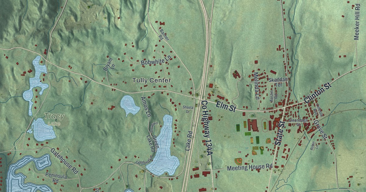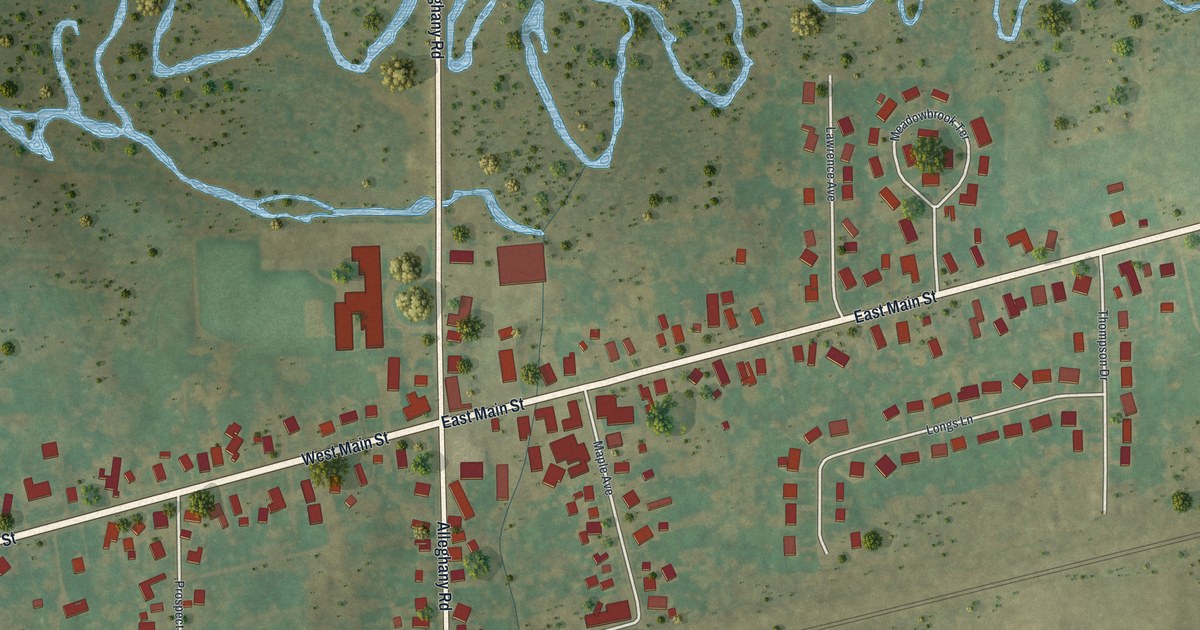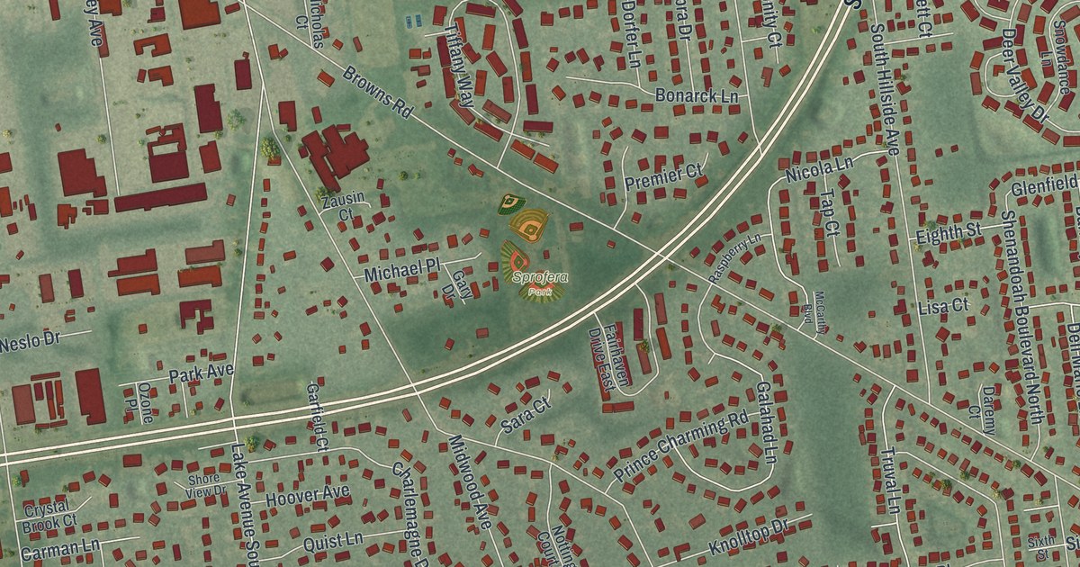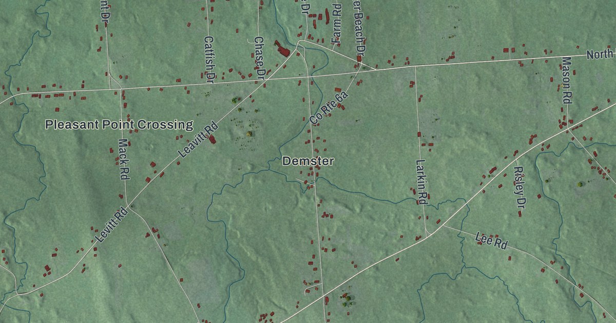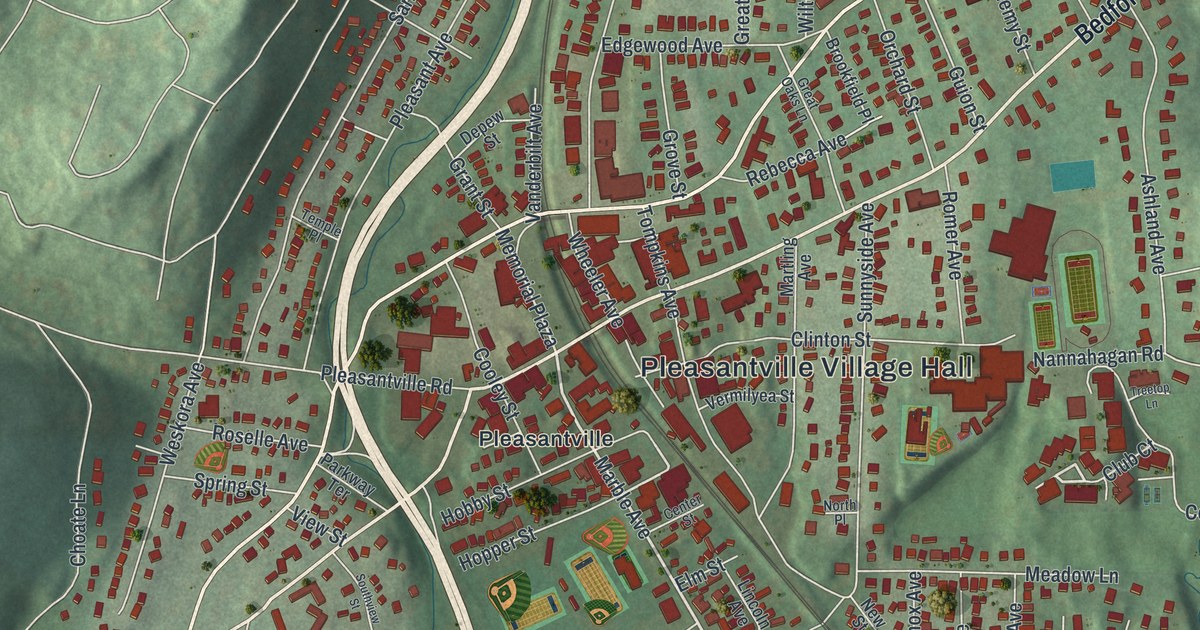
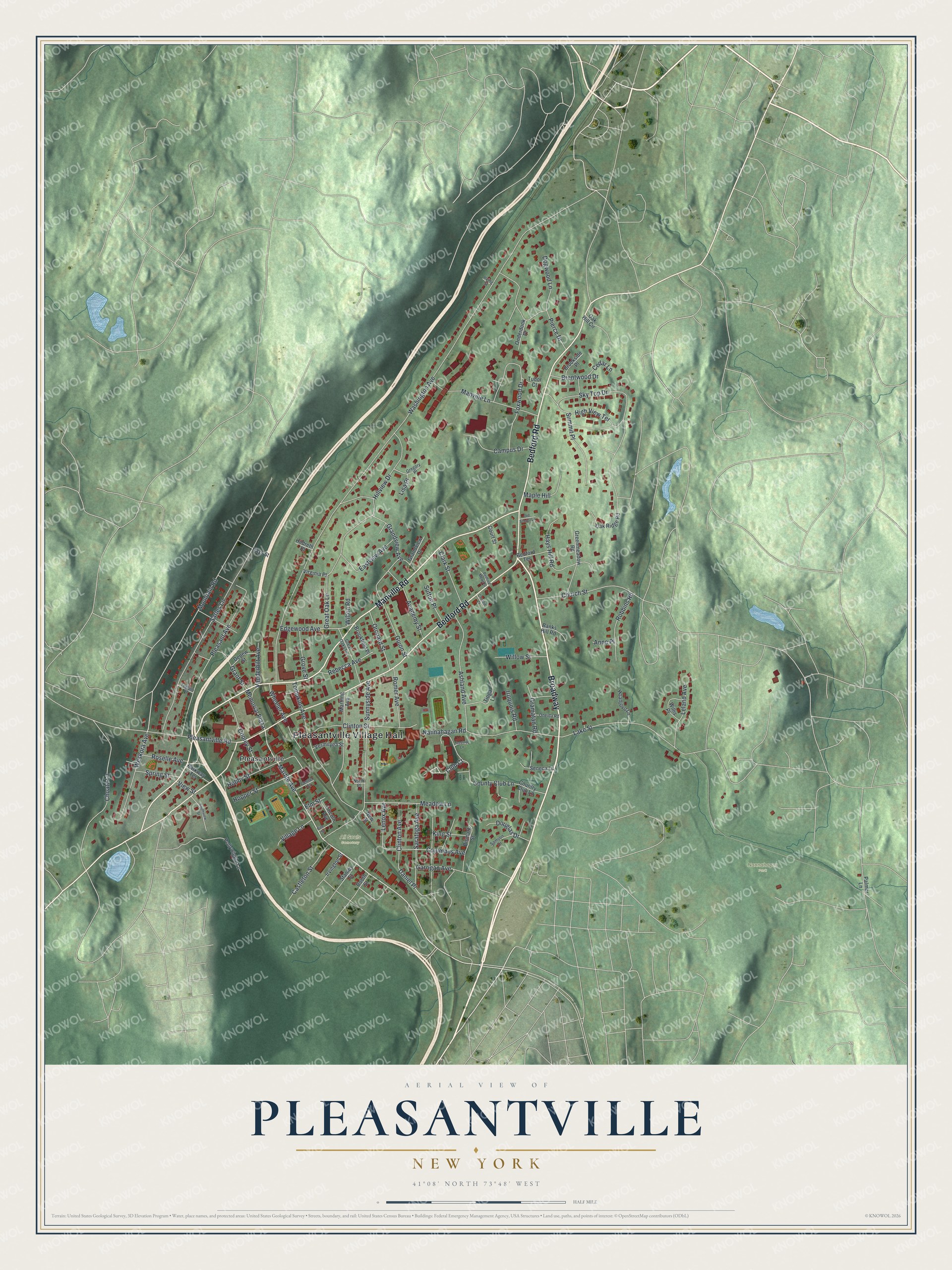
This beautifully detailed map of Pleasantville, New York was created in 2026 using aerial imagery combined with modern topographical, census, street and landmark data. It’s a one-of-a-kind view of Pleasantville that combines accurate data with a vintage aesthetic. The map shows every building in its true location, many of the roads carry their names, and the shaded topographic relief shows the shape of the land.
Explore an aerial view of Pleasantville, New York
On the map you’ll find Pleasantville Village Hall, Nannahagen Park, and All Souls Cemetery, along with Bedford Road, Manville Road, Marble Avenue, Club Court, and more. If you look closely you can even find your house accurately drawn in its correct location. Zoom in on the preview to look for yours.
Did You Know?
Early in the 19th century, people called the settlement Clark’s Corners, after land owned by Henry Clark. In the 1820s postmaster Henry Romer was told to name the new post office. His first pick, Clarksville, was already taken elsewhere in New York. His second choice, Pleasantville, was accepted. The post office opened on February 29, 1828.
Take a closer look at the Pleasantville map
Names on this map
These names are printed on this map.
Places: Pleasantville Village Hall, Nannahagen Park, All Souls Cemetery and Pleasantville.
Streets and roads: Broadway, Bedford Road, Manville Road, Marble Avenue, Club Court, Memorial Plaza, Daniel Place, Washington Avenue, Sarles Lane, Lake Street, Sunnyside Avenue, Pleasant Avenue.
More street names, A to Z
Academy Street, Anne Place, Ashland Avenue, Banks Hill Road, Bedford Mews Street, Bedford Terrace, Bismark Street, Booth Street, Brentwood Drive, Brookfield Place, Brookside Place, Campus Drive, Castleton Street, Cedar Lane, Center Street, Choate Lane, Christie Court, Church Street, Clark Street, Clinton Avenue, Clinton Street, Columbus Avenue, Cooley Street, Country Club Lane, County Club Lane, Court Street, Depew Street, Dogwood Lane, Douglas Drive, Eastview Avenue, Edgewood Avenue, Elm Street, Foxwood Drive, Garrigan Avenue, Gramatan Road, Grandview Avenue, Grandview Drive, Grant Street, Great Oak Lane, Great Oaks Lane, Greenmeadow Road, Gregory Place, Grove Street, Guion Street, Hays Hill Road, Hays Street, High View Terrace, Hildreth Place, Hillview Drive, Hoanjovo Lane, Hobby Street, Hopper Street, Iroquois Road, Irving Street, Irvington Street, King Street, Leland Avenue, Lenox Avenue, Lincoln Avenue, Lisa Place, Manville Lane, Maple Hill, Martling Avenue, Meadow Lane, Mountain Road, Nannahagan Road, New Street, North Place, Oak Hill Circle, Oak Ridge Road, Old School Lane, Onderdonk Place, Oneida Road, Orchard Street, Palmer Lane, Parkway Terrace, Pierce Drive, Pine Street, Pleasantville Road, Pollywiggle Lane, Rebecca Avenue, Robbins Road, Romer Avenue, Roselle Avenue, Samson Drive, Saratoga Avenue, Seneca Lane, Sky Top Drive, Southview Street, Spring Street, Stanley Street, Summit Place, Sutton Place, Temple Place, Tioga Lane, Tompkins Avenue, Treetop Lane, Tudor Court, Vanderbilt Avenue, Vermilyea Street, View Street, Village Lane, Virginia Place, Weskora Avenue, Wheeler Avenue, Willis Place, Willow Street, Wilton Road.
See it on a wall
The Pleasantville map as a framed print. Swipe for more.


This beautifully detailed map of Pleasantville makes an attractive addition to your office, library, or den, and it can even be used to teach children the geography and history of the area. It also makes a great gift for anyone who grew up in Pleasantville or moved away. When you’re done exploring, click here to get your copy of the Pleasantville map.