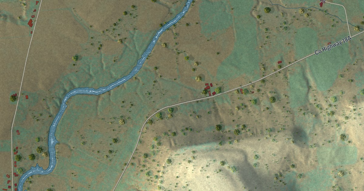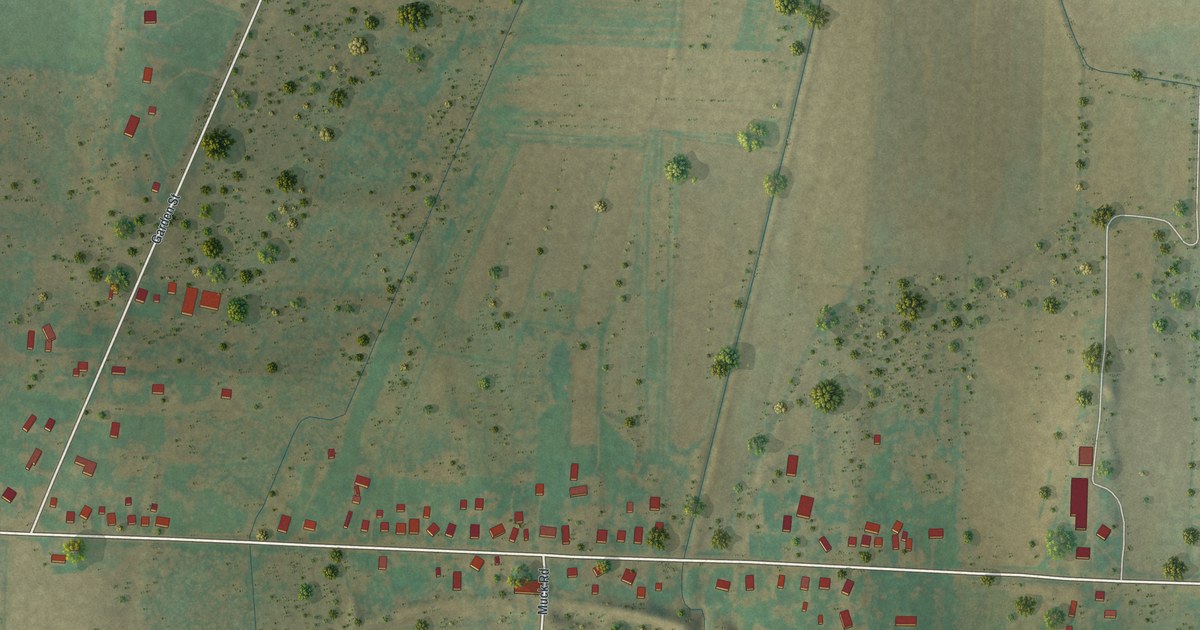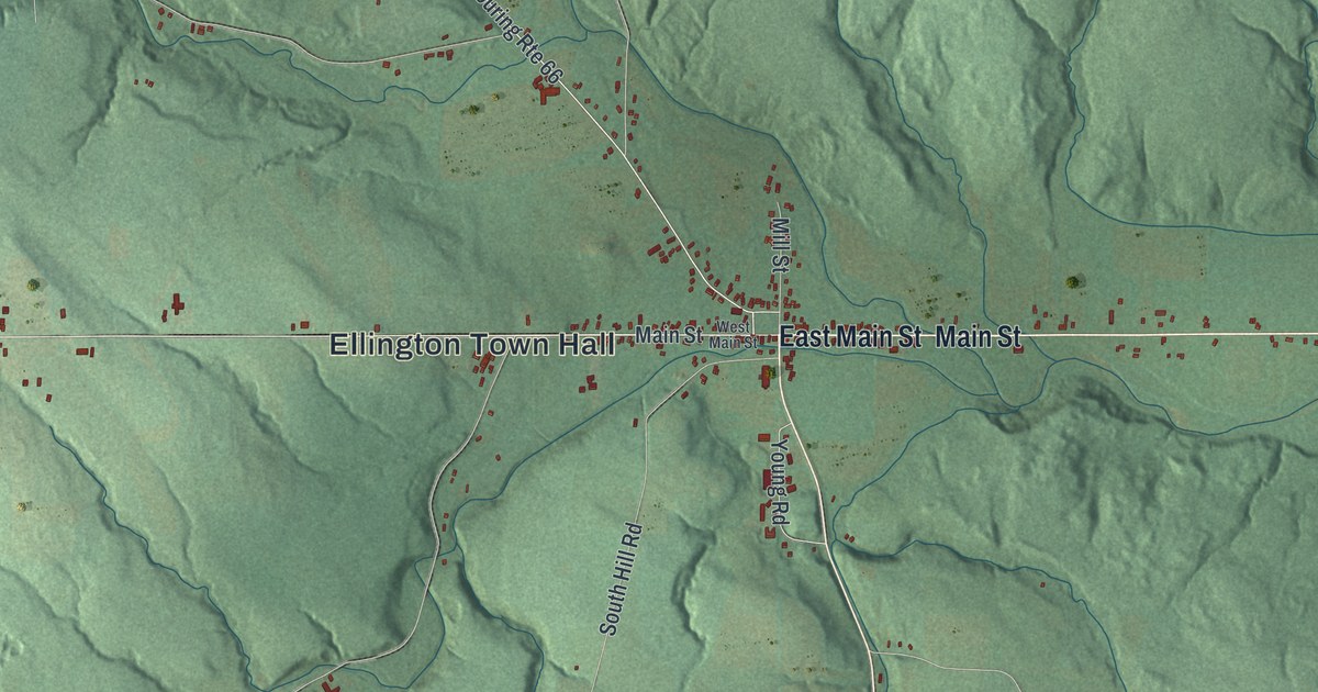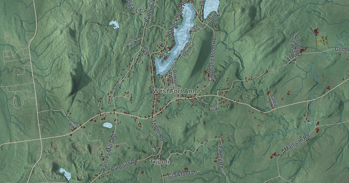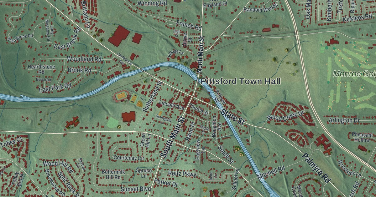
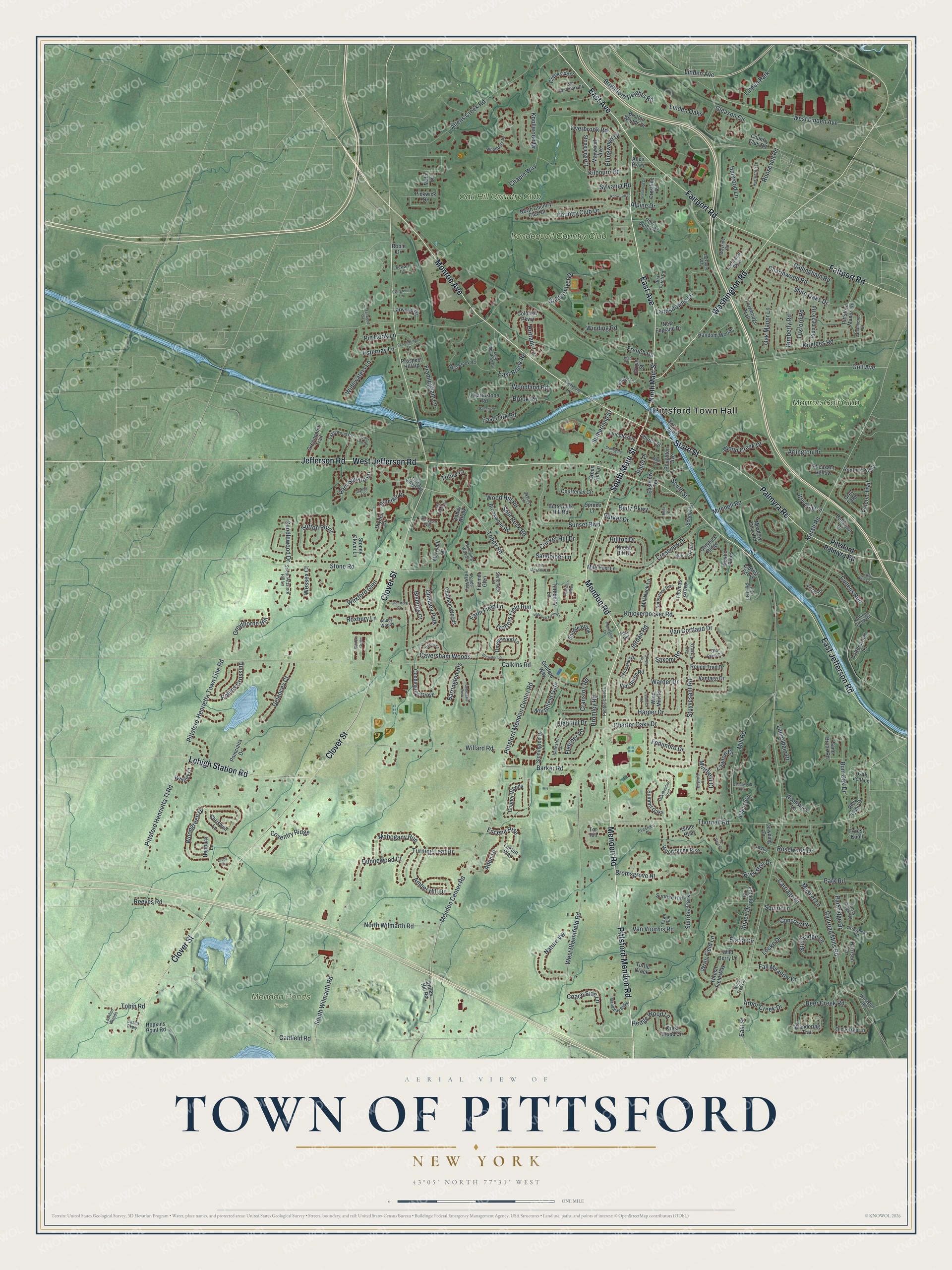
This beautifully detailed map of the Town of Pittsford, New York was created in 2026 using aerial imagery combined with modern topographical, census, street and landmark data. It’s a one-of-a-kind view of the Town of Pittsford that combines accurate data with a vintage aesthetic. The map shows every building in its true location, many of the roads carry their names, and the shaded topographic relief shows the shape of the land.
Explore an aerial view of the Town of Pittsford, New York
On the map you’ll find Pittsford Town Hall and Mendon Ponds Park, along with Mendon Road, Pittsford Mendon Road, Monroe Avenue, East Avenue, and more. If you look closely you can even find your house accurately drawn in its correct location. Zoom in on the preview to look for yours.
Did You Know?
Pittsford was settled in 1789, when it was still part of Northfield. Colonel Caleb Hopkins, a hero of the War of 1812, gave the town its name. He chose it for his birthplace, Pittsford, Vermont. Hopkins later served as town supervisor.
Take a closer look at the Town of Pittsford map
Names on this map
These names are printed on this map.
Places: Pittsford Town Hall, Mendon Ponds Park, Irondequoit Country Club, Monroe Golf Club, Oak Hill Country Club, Chelsea Park, Sunrise Park and Linden Park.
Streets and roads: Mendon Road, Pittsford Mendon Road, Monroe Avenue, East Avenue, South Main Street, West Jefferson Road, State Street, Clover Street, East Jefferson Road, Fairport Road, Palmyra Road, Washington Road.
More street names, A to Z
Abbey Woods, Aden Hl, Allen Parkway, Allens Creek Road, Alpine Drive, Ambergate Rise, Amber Hill Drive, Arbor Creek Drive, Arlington Drive, Arrowhead Road, Auburndale, Babcock Farms Lane, Barker Road, Barrington Hls, Baynard Court, Beech Road, Bishops Court, Boughton Avenue, Bretton Woods Drive, Brewster Lane, Briar Patch Road, Brickston Drive, Brightford Heights Road, Brittany Lane, Bromley Road, Bromsgrove Hl, Brook Road, Brookwood Road, Burncoat Way, Burr Oak Drive, Buttermilk Hill Road, Butternut Drive, Calkins Road, Callingham Road, Candlewood Drive, Canfield Road, Carriage Court, Carters Grove, Caversham Woods, Cedarwood Circle, Chapin Way, Charmwood Road, Charter Oaks Drive, Chatham Woods, Chriswell Lane, Church Street, Coach Side Lane, Coddington Grove, Colonial Parkway, Concord Drive, Copper Woods, Cottonwood Lane, Country Club Drive, Country Club Road, Courtenay Circle, Coventry Ridge, Cranston Road, Creekside Lane, Crestline Road, Crestview Drive, Crest Wood Circle, Cricket Hill Drive, Cross Meadow Lane, Cross Ridge Road, Cullens Run, Deer Creek Road, Delancey Court, Devonwood Lane, Downing Drive, Dryden Circle, Dunnewood Court, Duxbury Way, Eaglewood Circle, East Brook Road, East Park Road, East Street, Eastview Terrace, Elatia Circle, Ellingwood Drive, Enfield Drive, Escena Rise, Esternay Lane, Evergreen Lane, Evesham Place, Falconbridge Drive, Falcon Trail, Falling Creek Road, Fall Meadow Drive, Farm Field Lane, Fawn Run, Fenimore Drive, Fitzmot Glen, Fletcher Road, Forest Knoll, Founders Green, Framingham Lane, Frederick Road, French Road, Gleason Circle, Glenmore Circle, Golden Flyer Drive, Golf Avenue, Green Hill Lane, Greenpoint Trail, Grey Fawn, Greylock Ridge, Greythorne Hill, Grove Street, Guilford Way, Hadley Court, Harleston Lane, Harper Drive, Harrison Circle, Harwood Lane, Hearthstone Road, Hedge Wood Lane, Hepburn Lane, High Hill Drive, High Point Road, High Street, Hilltop Drive, Hines Hill Road, Hopkins Point Road, Hunters Pointe, Ingridshire Drive, Ithaca Drive, Jefferson Road, Jordan Road, Kalleston Drive, Kerrygold Way, Kilbourn Road, Kimberly Road, Kirklees Road, Knickerbocker Road, Knobb Hill Drive, Knollwood Drive, Knowlton Lane, La Due Circle, Landsdowne Lane, Larwood Drive, Latchmere Court, Laureldale Drive, Lawden Woods, Lawton Drive, Leeds Circle, Leeward Lane, Lehigh Station Road, Le Pere Drive, Lexton Way, Lincoln Avenue, Linden Avenue, Linden Oaks, Little Brook Drive, Lochnavar Parkway, Locke Drive, Long Meadow Circle, Mahogany Run, Malm Lane, Mandalay Ridge, Maple Street, Marsh Road, Maywood Avenue, Meadow Cove Road, Mendon Center Road, Merryhill Lane, Mid Ponds Lane, Mile Post Lane, Mill Neck Lane, Mill Road, Mitchell Road, Muirfield Court, Musket Lane, Nature Vw, New England Drive, North Country Club Drive, Northfield Gate, North Main Street, Northstone Rise, North Wilmarth Road, Oak Leaf Lane, Oak Manor Lane, Oak Meadow Trail, Old Farm Circle, Old Forge Lane, Old Landmark Drive, Old Monroe Avenue, Overbrook Road, Parker Drive, Parkridge Drive, Park Road, Park Square Lane, Pebble Creek Lane, Pheasant Hollow, Pickwick Drive, Pine Acres Drive, Pine Cone Drive, Pin Hook Lane, Pittsford-Henrietta Town Line Road, Pittsford Henrietta Tl Road, Pittsford Manor Lane, Pittsford Mendon Center Road, Pittsford Palmyra Road, Poinciana Drive, Ponds Edge Way, Prospect Hill Road, Railroad Mills Road, Rambling Woods, Random Woods, Rand Place, Reeves Road, Reitz Circle, Reitz Parkway, Rensselaer Drive, Rippingale Road, Robin Drive, Rollins Crossing, Roosevelt Road, Rosewood Drive, Round Trail Drive, Roxbury Lane, Rustic Pines, Ryder Cup Circle, Saddle Brook, Sand Brook Road, Sandpiper Lane, Sandy Lane, Sasan Parkway, Saxony Road, Schoen Place, School Lane, Settlers Green, Shelwood Drive, Shire Oaks Drive, Silco Hill, Sinclair Drive, Skytop Lane, South Pittsford Hill Lane, South Street, South Wilmarth Road, Split Rock Road, Spruce Lane, Squire Lane, Stefenage Court, Stonegate Lane, Stoneleigh Court, Stone Road, Stoney Clover Lane, Stonington Drive, Sturbridge Lane, Stuyvesant Road, Summit Oaks, Sunrise Hill, Sunset Boulevard, Sutherland Street, Sutton Point, Sylvania Road, Tall Acres Drive, Ten Eyke Circle, Thomas Grove, Thornell Road, Thrush Field Way, Tobey Brook, Tobey Court, Tobey Road, Tobey Village Road, Tobin Road, Tor Hill, Trailwood Circle, Trotters Field Run, Trowbridge Trail, Turnberry Lane, Turning Leaf Drive, Turtle Creek, Tuxford Road, Van Buren Road, Van Cortland Drive, Vantage Drive, Van Voorhis Road, Village Lane, Vincent Drive, Wandering Trail, Warder Drive, Wayside Circle, Wessex Court, West Bloomfield Road, West Brook Road, West Linden Avenue, Wexford Glen, White Briar, Whitley Court, Widewaters Lane, Wild Berry Lane, Willard Road, Winding Road, Wind Mill Road, Wind Tree Circle, Woodbury Place, Wood Creek Drive, Woodgreen Drive, Wood Hill Road, Woodland Road, Woodside Lane, Woodstock Lane, Wood Stone Rise, Woolston Road, Wren Field Lane.
See it on a wall
The Pittsford map as a framed print. Swipe for more.


This beautifully detailed map of the Town of Pittsford makes an attractive addition to your office, library, or den, and it can even be used to teach children the geography and history of the area. It also makes a great gift for someone who left the Town of Pittsford and still calls it home. When you’re done exploring, click here to get your copy of the Town of Pittsford map.