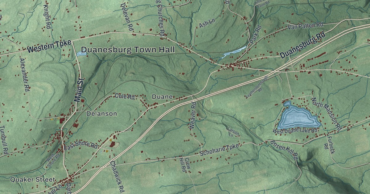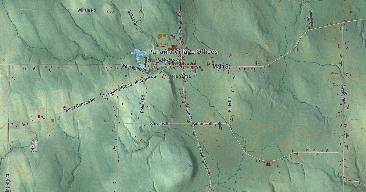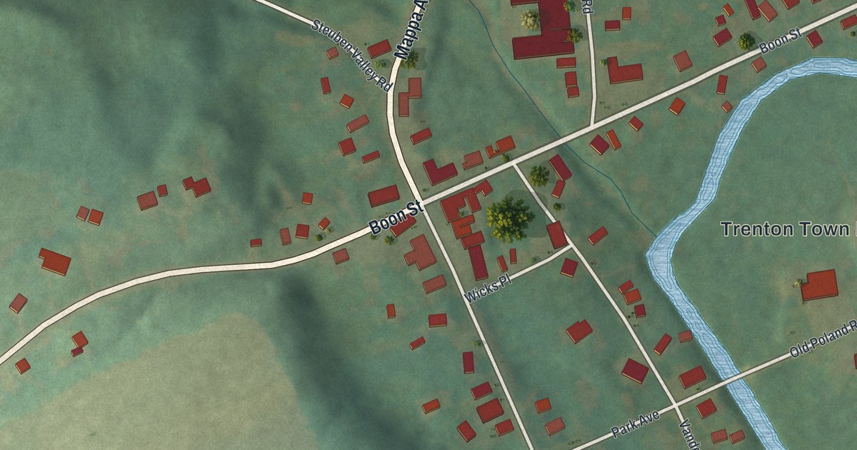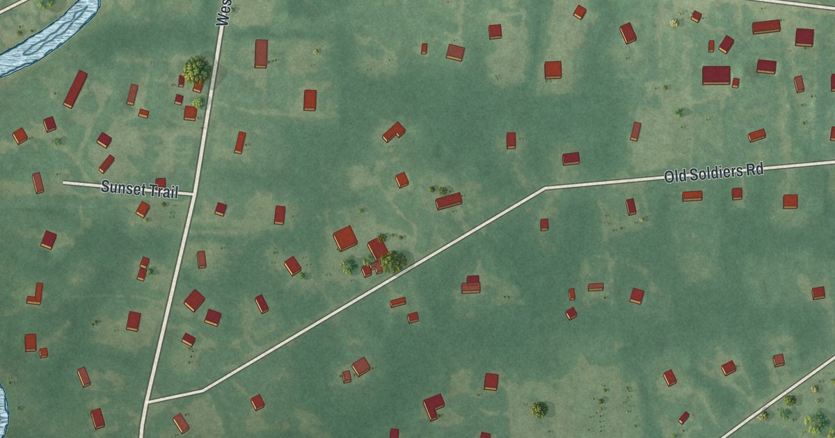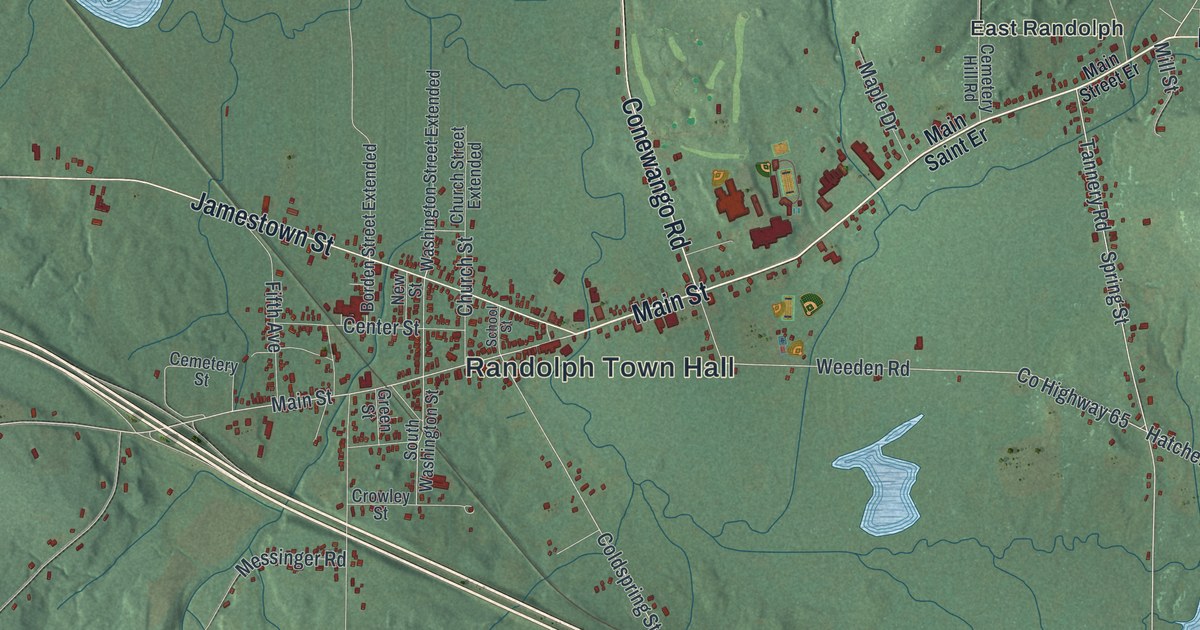
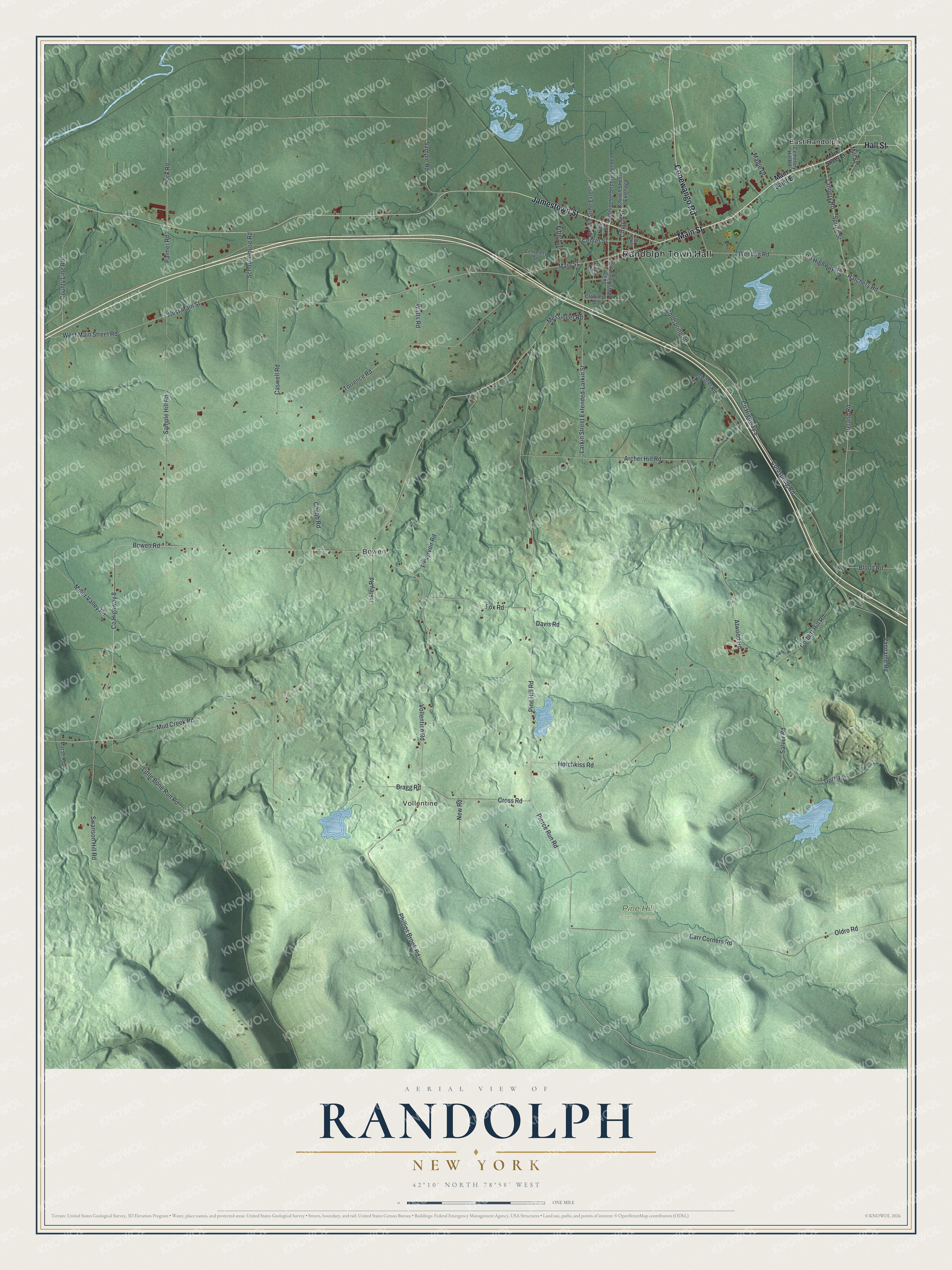
This beautifully detailed map of Randolph, New York was created in 2026 using aerial imagery combined with modern topographical, census, street and landmark data. It’s a one-of-a-kind view of Randolph that combines accurate data with a vintage aesthetic. The map shows every building in its true location, many of the roads carry their names, and the shaded topographic relief shows the shape of the land.
Explore an aerial view of Randolph, New York
On the map you’ll find Randolph Town Hall, Vollentine, Bowen, East Randolph, and Pine Hill State Forest, along with Main Street, Jamestown Street, Conewango Road, Hall Street, and more. If you look closely you can even find your house accurately drawn in its correct location. Zoom in on the preview to look for yours.
Did You Know?
Randolph took its name from Randolph, Vermont. The land once belonged to the Holland Land Company. Edmund Fuller came from Oneida County in 1820 and became the first settler. The town was split off from Conewango in 1826.
Take a closer look at the Randolph map
Names on this map
These names are printed on this map.
Places: Randolph Town Hall, Vollentine, Bowen, Pine Hill State Forest and East Randolph.
Streets and roads: Main Street, Jamestown Street, Conewango Road, Hall Street, Ireland Road, Cross Road, Vollentine Road, Pine Hill Road, County Highway 8, West Main Street, Mud Creek Road, West Main Street Road.
More street names, A to Z
Archer Hill Road, Atwood Road, Blood Road, Borden Street Extended, Bowen Road, Bragg Road, Carr Corners Road, Caswell Road, Cemetery Hill Road, Cemetery Street, Center Street, Chubb Road, Church Street, Church Street Extended, Coldspring Road, Coldspring Street, Corbett Hill Road, County Highway 9, County Highway 65, County Line Road, Crowley Street, Davis Road, Fifth Avenue, Fox Road, Gardner Road, Green Street, Gulf Road, Hatchery Road, Hotchkiss Road, Inkley Road, Kirk Road, Larkin Street, Larkin Street Extended, Little Bone Run Road, Main Saint Er, Main Street Er, Maple Drive, Marsh Road, Messinger Road, Miller Valley Road, Mill Street, New Road, New Street, Oldro Road, Palmer Road, Phillips Brook Road, Pierce Run Road, Reservoir Road, Sample Hill Road, Sample Road, Sarver Road, School House Road, School Street, South Washington Street, Spring Street, Swanson Hill Road, Tannery Road, Torrence Road, Vanname Road, Washington Street Extended, Watts Road, Weeden Road.
See it on a wall
The Randolph map as a framed print. Swipe for more.


This beautifully detailed map of Randolph makes an attractive addition to your office, library, or den, and it can even be used to teach children the geography and history of the area. It also makes a great gift for anyone with Randolph roots. When you’re done exploring, click here to get your copy of the Randolph map.