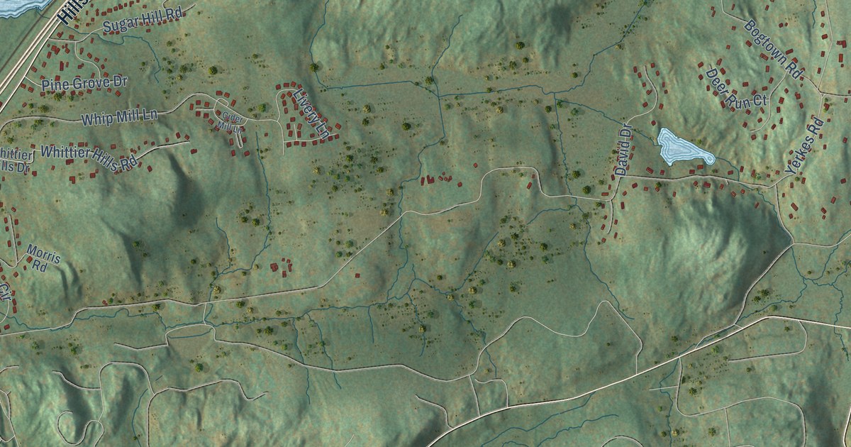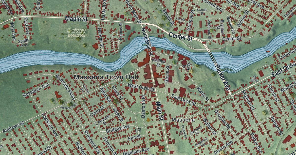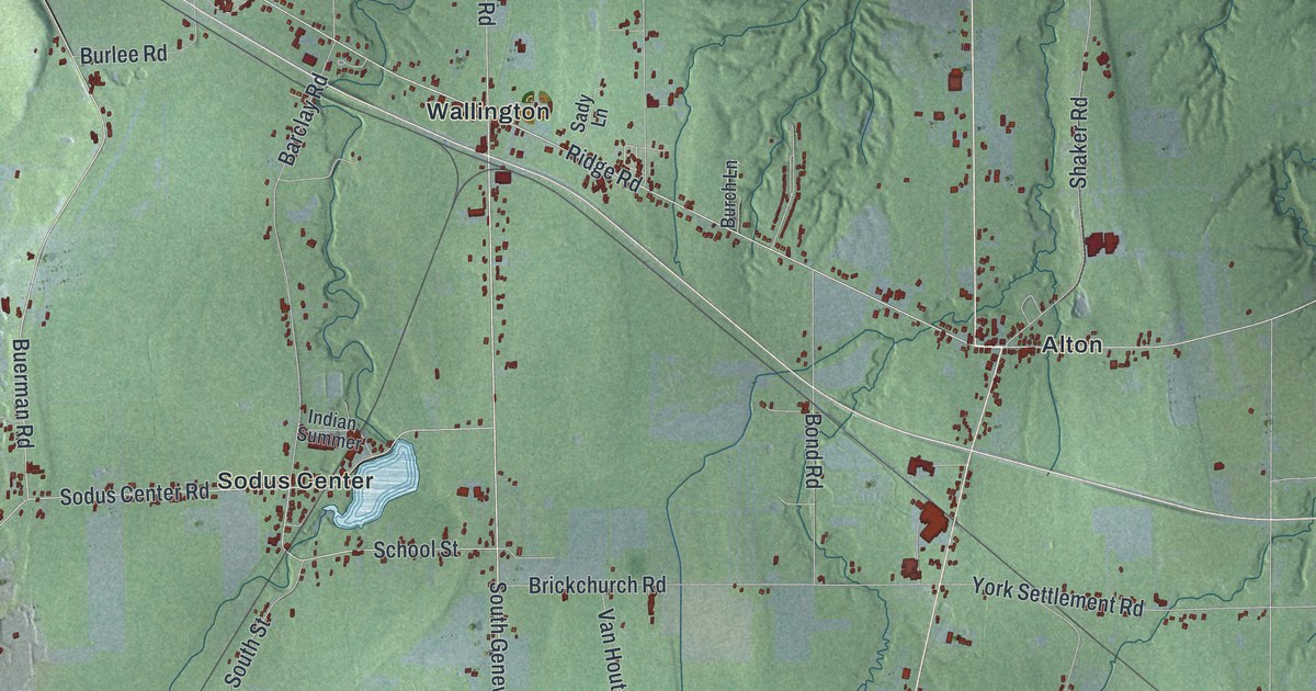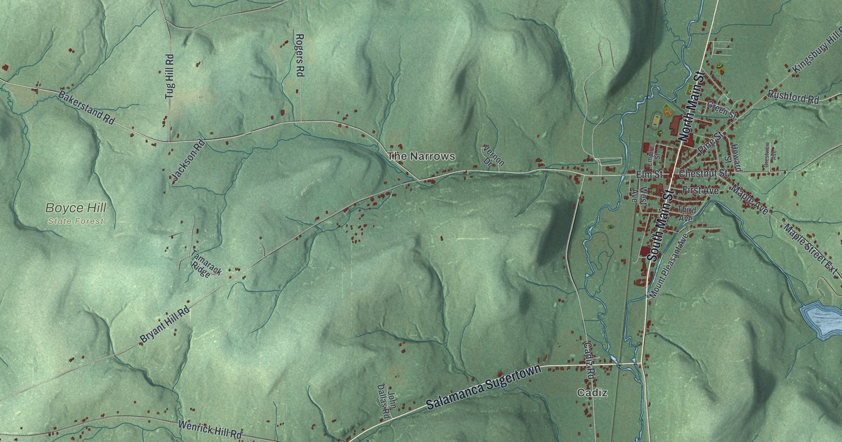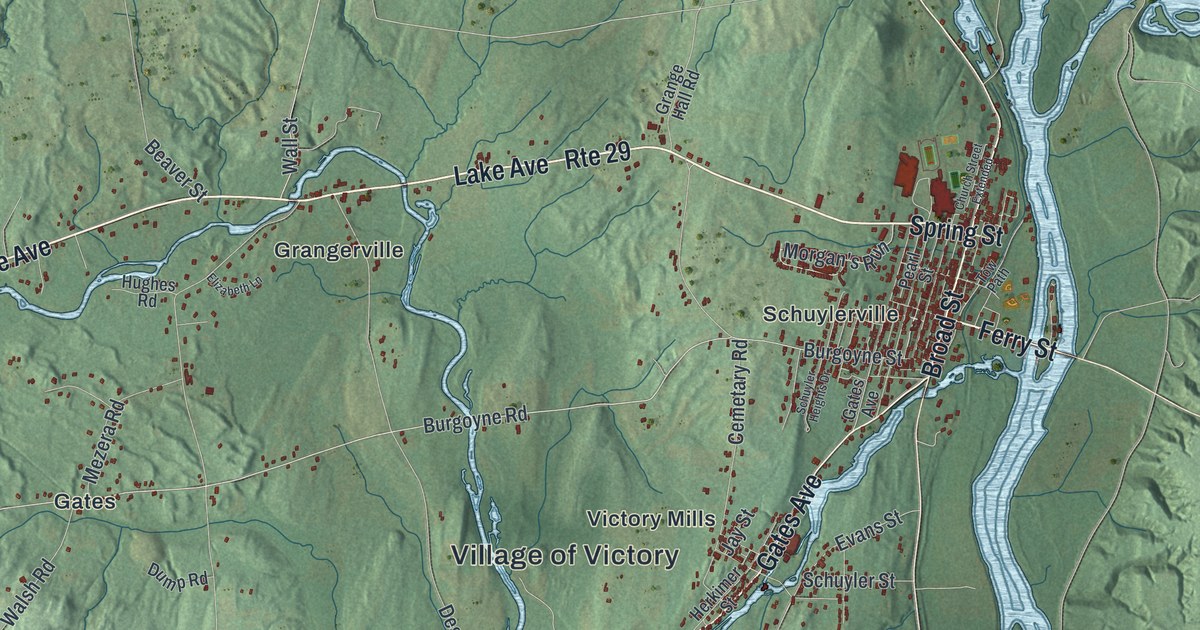
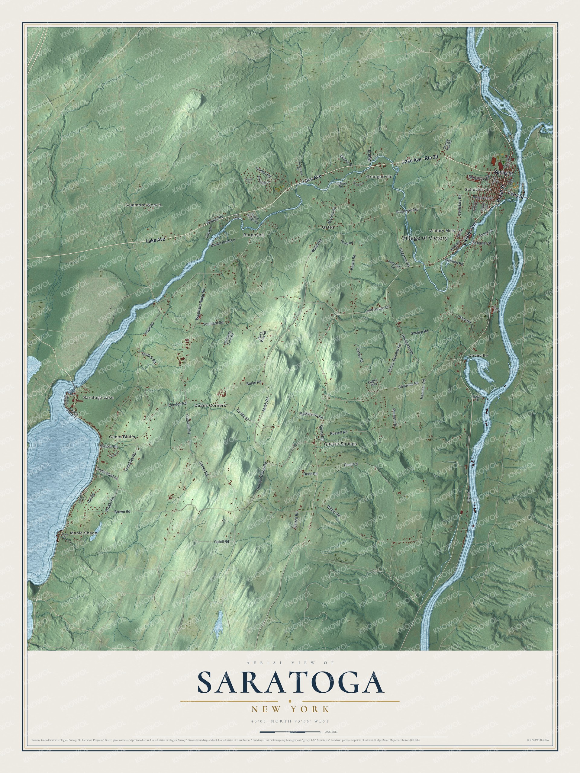
This beautifully detailed map of Saratoga, New York was created in 2026 using aerial imagery combined with modern topographical, census, street and landmark data. It’s a one-of-a-kind view of Saratoga that combines accurate data with a vintage aesthetic. The map shows every building in its true location, many of the roads carry their names, and the shaded topographic relief shows the shape of the land.
Explore an aerial view of Saratoga, New York
On the map you’ll find Maple Shade, Burgoyne, Cedar Bluffs, Coveville, and Deans Corners, along with Lake Avenue, Ferry Street, Spring Street, Gates Avenue, Broad Street, and more. If you look closely you can even find your house accurately drawn in its correct location. Zoom in on the preview to look for yours.
Did You Know?
The Battles of Saratoga were fought to the south in Stillwater. The last ten days of the siege played out here, in what is now Schuylerville. On October 17, 1777, the British commander John Burgoyne gave up his army to the American Horatio Gates in the town. The surrender is often called the turning point of the Revolution.
Take a closer look at the Saratoga map
Names on this map
These names are printed on this map.
Places: Village of Victory, Maple Shade, Burgoyne, Cedar Bluffs, Coveville, Deans Corners, Gates, Grangerville, Quaker Springs, Saratoga Lake, Schuylerville, Scidmore Woods and Victory Mills.
Streets and roads: Lake Avenue, Ferry Street, Spring Street, Gates Avenue, Broad Street, Route 29, Burgoyne Road, Coveville Road, Mabb Road, County Route 67, Trombley Road, Spring Road.
More street names, A to Z
Airport Lane, Ashleigh Lane, Beaver Street, Brock Drive, Brown Point Lane, Brown Road, Bryant Bridge Road, Burgoyne Street, Burke Road, Cahill Road, Caldwell Road, Casey Road, Cedar Bluff Court, Cemetary Road, Chelsea Drive, Church Street Extended, Condon Road, Dan's View Road, Degarmo Road, Dodd Road, Duell Road, Dump Road, Eagles Way, Elizabeth Lane, Evans Street, Farrell Road, Fire Lane, Fire Lane 8, Fitch Road, Franklin Beach Road, Furlani Drive, Grange Hall Road, Haas Road, Hanehan Road, Hathaway Road, Hayes Road, Herkimer Street, Hillandale Farm Road, Hill Road, Homestead Road, Hughes Road, Jay Street, Louden Road, Mennen Road, Mezera Road, Minnie Bennett Road, Morgan's Run, Muskett Drive, Nielson Road, Patterson Road, Pearl Street, River Road, Rodgers Lane, Ruckytucks Road, Russell Road, Saratoga Lake Road, Schuyler Heights Drive, Schuyler Street, Southard Road, Spook Hollow Road, Stetkar Road, Swamp Road, Sweet Road, Town Garage Road, Tow Path, Trask Lane, Wagmans Ridge Road, Wall Street, Walsh Road, Wilbur Road, Wooley Road, Wright Road.
See it on a wall
The Saratoga map as a framed print. Swipe for more.


This beautifully detailed map of Saratoga makes an attractive addition to your office, library, or den, and it can even be used to teach children the geography and history of the area. It also makes a great gift for someone who left Saratoga and still calls it home. When you’re done exploring, click here to get your copy of the Saratoga map.