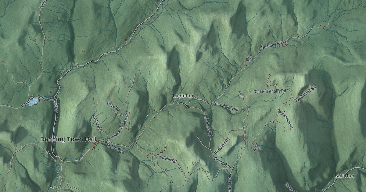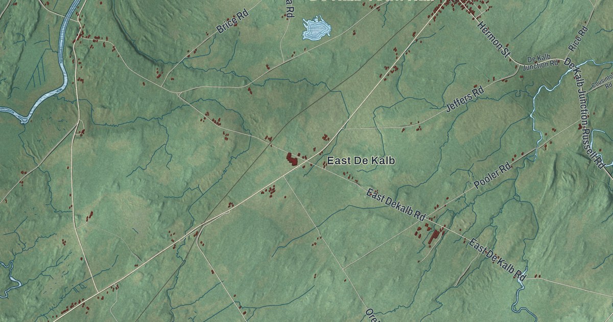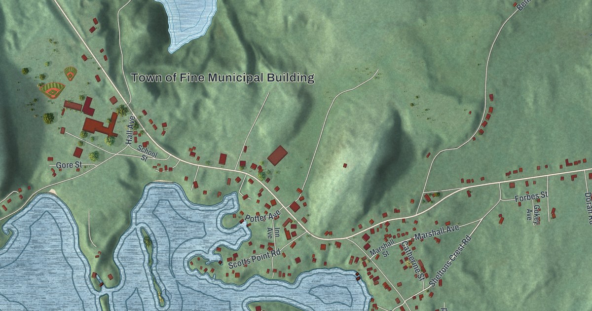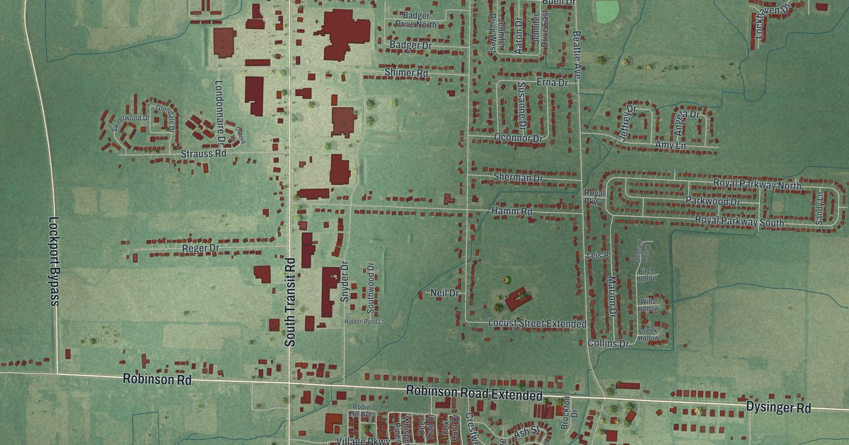
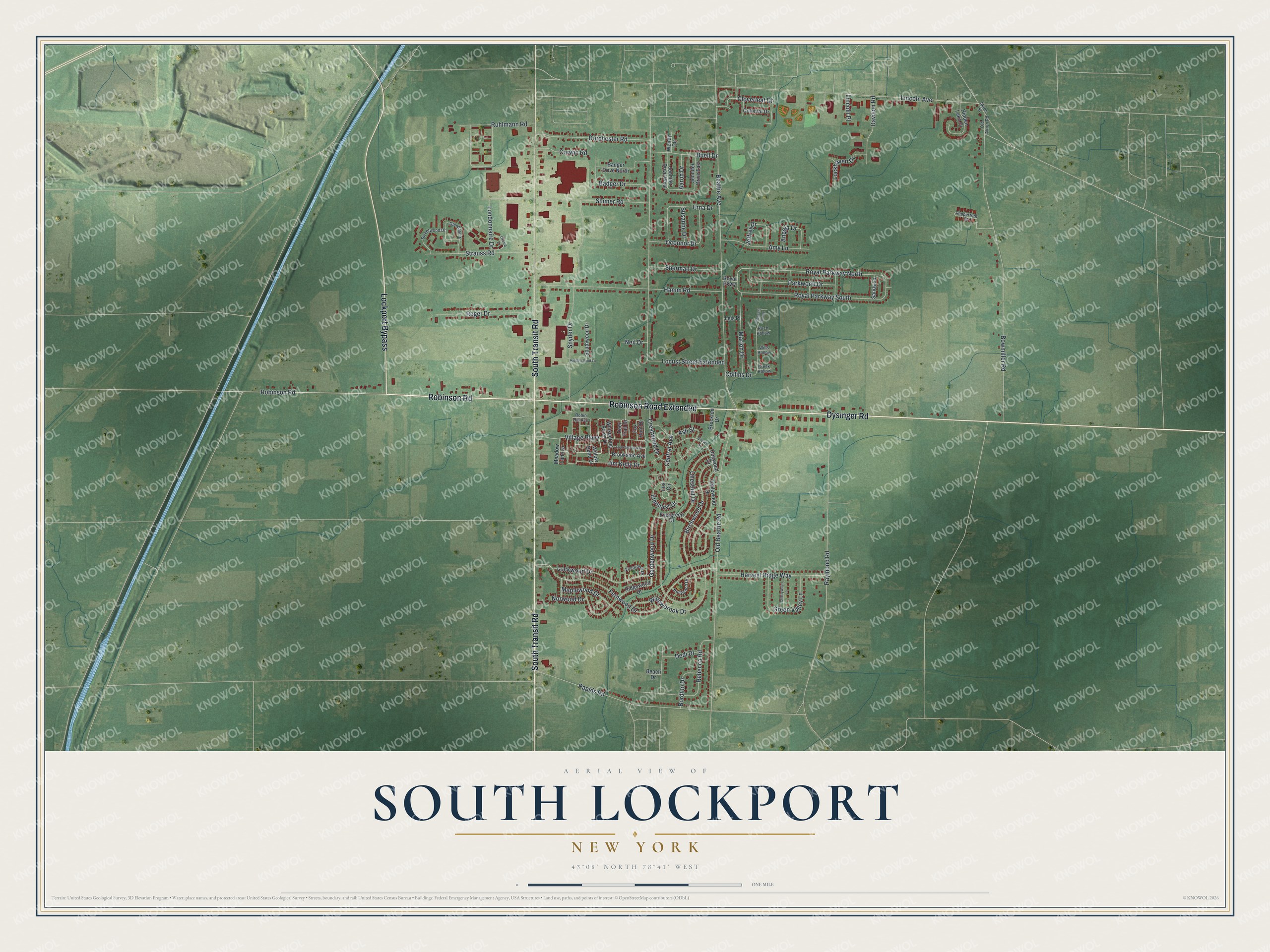
This beautifully detailed map of South Lockport, New York was created in 2026 using aerial imagery combined with modern topographical, census, street and landmark data. It’s a one-of-a-kind view of South Lockport that combines accurate data with a vintage aesthetic. The map shows every building in its true location, many of the roads carry their names, and the shaded topographic relief shows the shape of the land.
Explore an aerial view of South Lockport, New York
On the map you’ll find Robinson Road Extended, along with Dysinger Road, Robinson Road, Transit Road, Lockport Bypass, and more. If you look closely you can even find your house accurately drawn in its correct location. Zoom in on the preview to look for yours.
Take a closer look at the South Lockport map
Names on this map
These names are printed on this map.
Streets and roads: Dysinger Road, Robinson Road, Robinson Road Extended, South Transit Road, Lockport Bypass, Gardenwood Drive, Royal Parkway North, Royal Parkway South, Central Avenue, Beattie Avenue, Locust Street Extended, Old Beattie Road.
More street names, A to Z
Aaron Drive, Akron Street, Amy Lane, Angela Drive, Applewood Drive, Ash Street, Badger Drive, Badger Drive North, Beach Drive, Birch Hollow, Birchwood Drive, Bordino Drive, Bowmiller Road, Branch Street, Brockton Drive, Brookside Avenue, Buell Drive, Cherrywood Lane, Chestnut Drive, Cloverleaf Drive, Collins Drive, Colonial Drive, Corwin Road, Creek Hollow, Crestwood Drive, Davison Road, Dedi Drive, Deer Trail Drive, Dogwood Drive, Dorchester Road, Elmhurst Drive, Erna Drive, Evergreen Drive, Fernwood Drive, Fox Circle, Fox Hunt Drive, Glendale Drive, Green Valley Lane, Hamm Road, Harvest Ridge Way, Hidden Lake Drive, Hidden Pond Lane, Hollywood Drive, Jeffrey Drive, Jennifer Drive East, Jennifer Drive West, Jim Kelly Drive, Laurelwood Avenue, Leis Place, Lincoln Avenue, Lincoln Place, Lockhaven Drive, Lockwood Drive, Londonnaire Drive, Maplewood Drive, Marion Drive, Meadow Lane Drive, Neil Drive, Norwood Drive, Oconnor Drive, Old Akron Road, Oxford Lane, Parkwood Drive, Peppertree Court, Pheasant Hollow, Rapids Road, Raymond Road, Rebecca Road, Reger Drive, Ridgewood Drive, Robin Hill Avenue, Royal Parkway, Ruhlmann Road, Sandy Lane, Sherman Drive, Shimer Road, Snyder Drive, Southwood Drive, Strauss Road, Susanne Drive, Sweetwood Drive, Village Parkway, Vinewood Drive, Wendy Circle, Whispering Pines Drive, Willow Bend Drive, Willowbrook Drive, Wills Hollow.
See it on a wall
The South Lockport map as a framed print. Swipe for more.


This beautifully detailed map of South Lockport makes an attractive addition to your office, library, or den, and it can even be used to teach children the geography and history of the area. It also makes a great gift for anyone who grew up in South Lockport or moved away. When you’re done exploring, click here to get your copy of the South Lockport map.