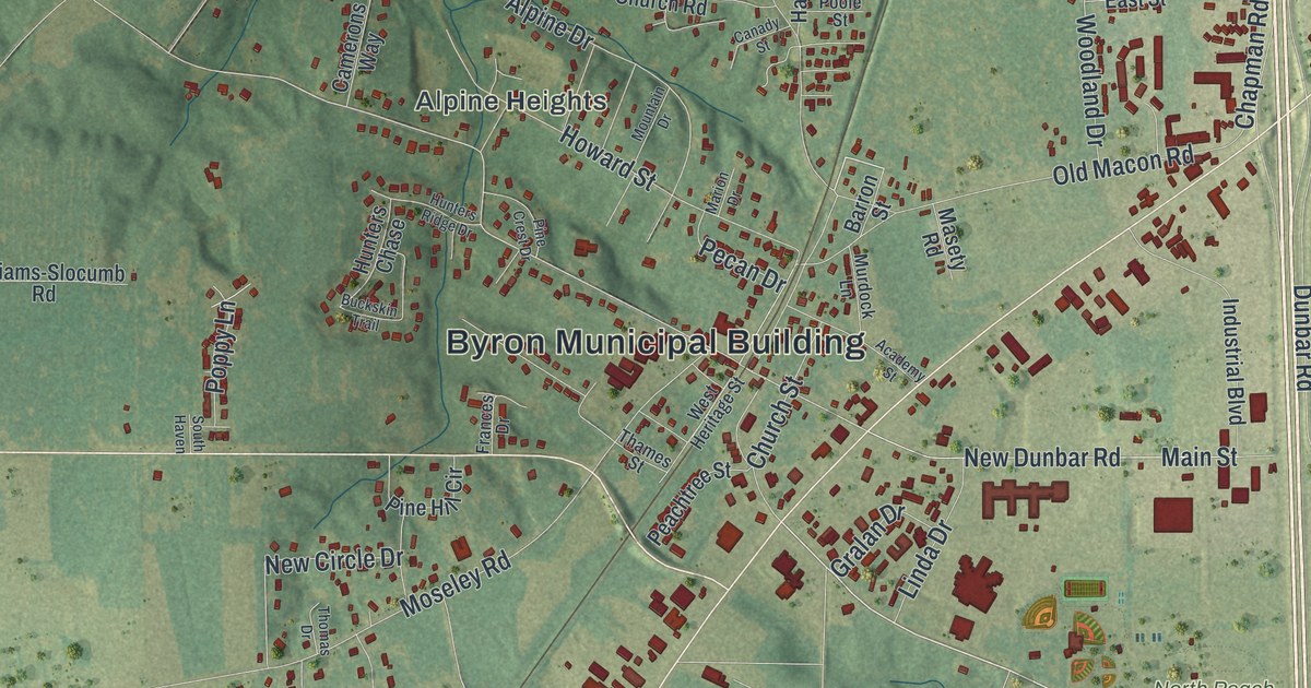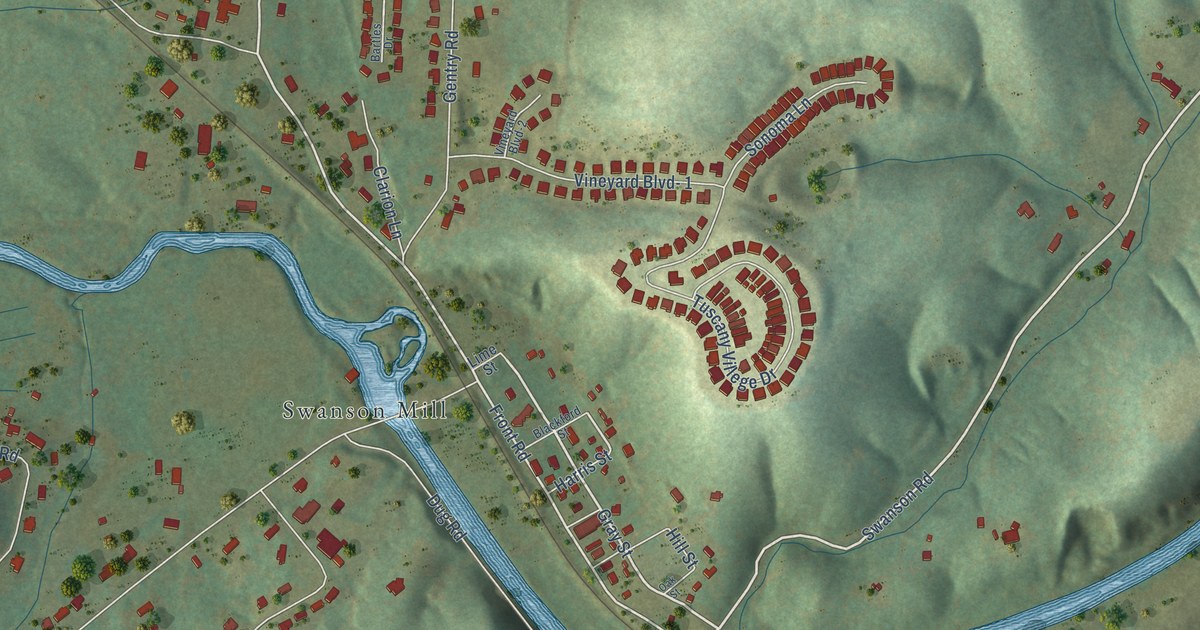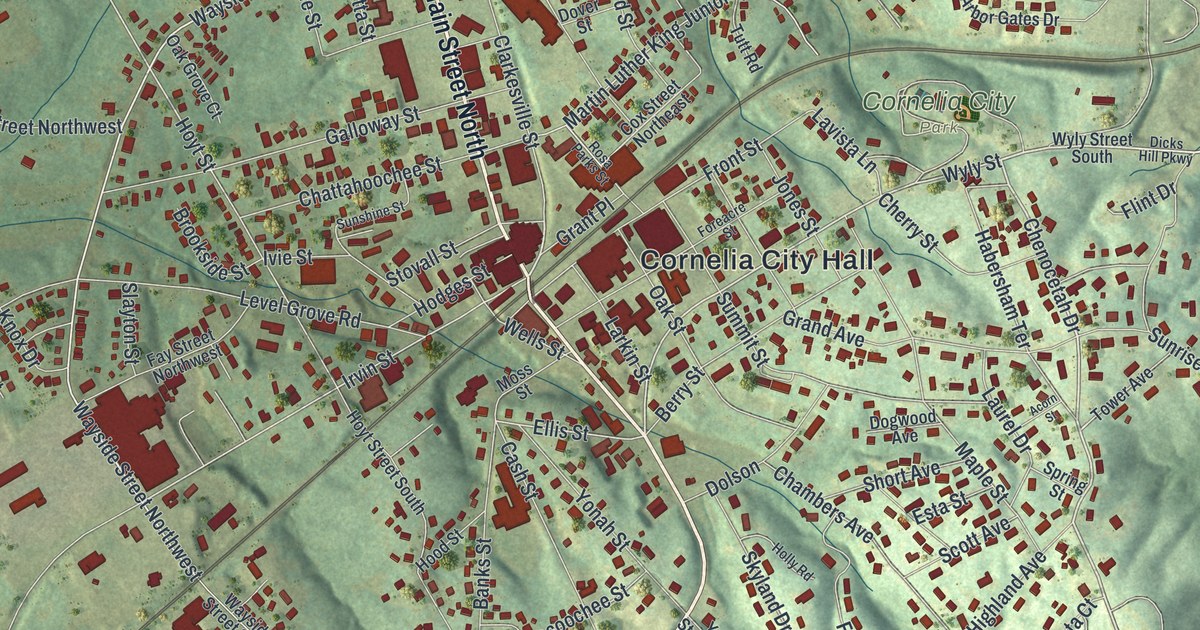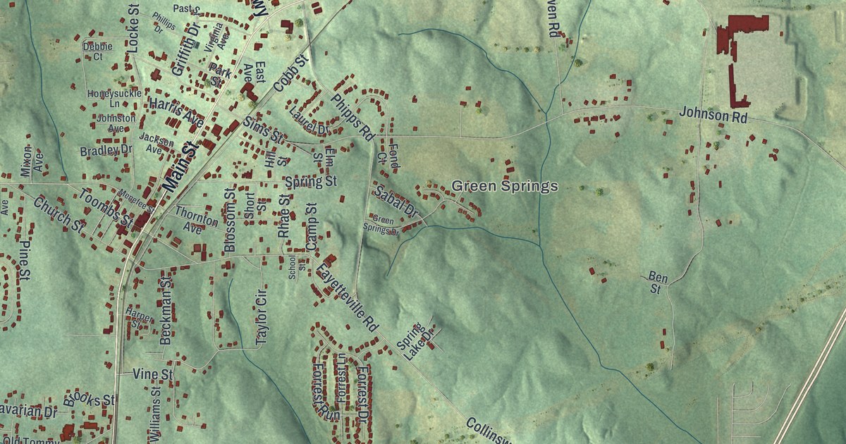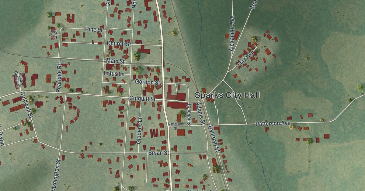
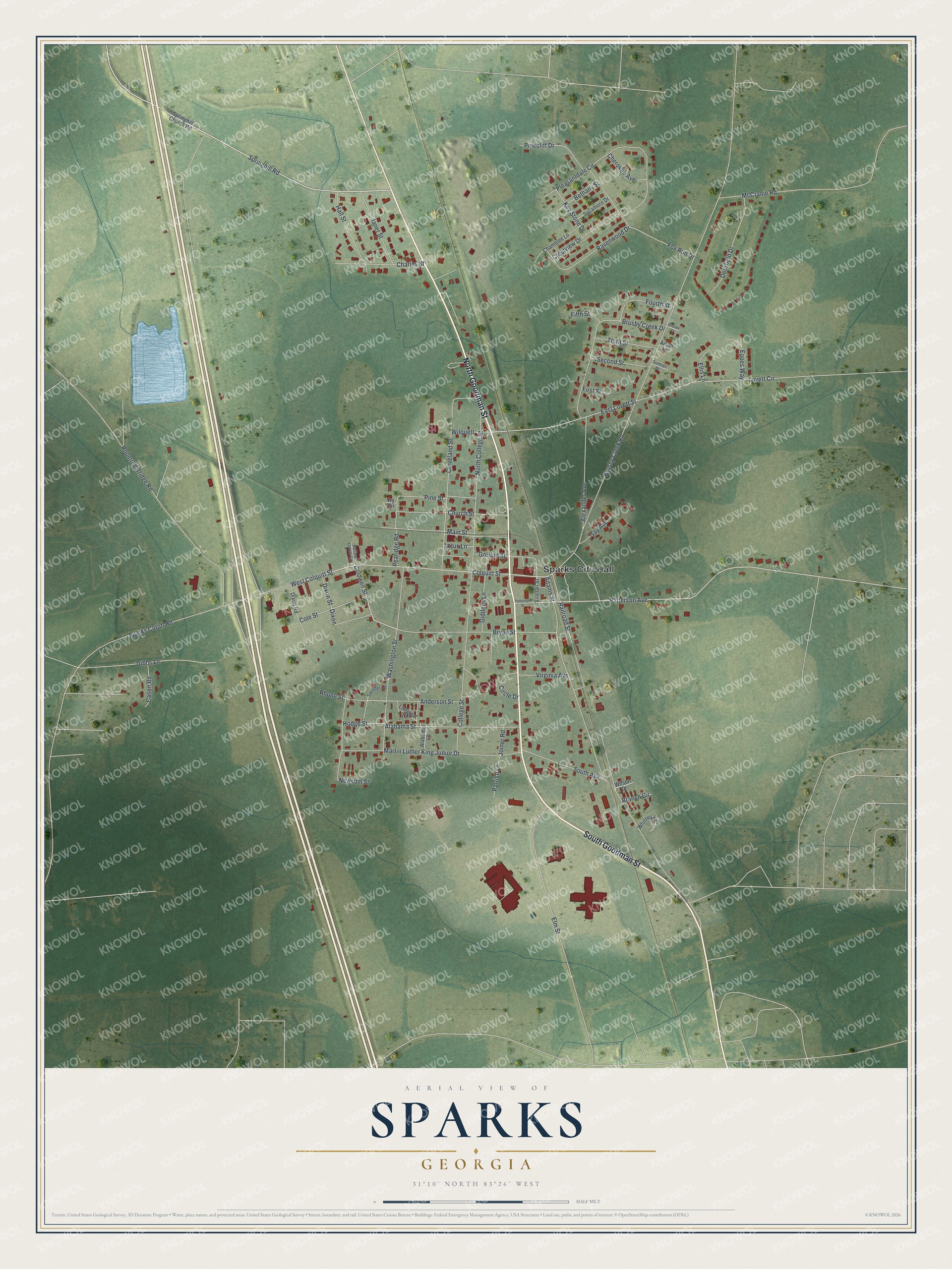
This beautifully detailed map of Sparks, Georgia was created in 2026 using aerial imagery combined with modern topographical, census, street and landmark data. It’s a one-of-a-kind view of Sparks that combines accurate data with a vintage aesthetic. The map shows every building in its true location, many of the roads carry their names, and the shaded topographic relief shows the shape of the land.
Explore an aerial view of Sparks, Georgia
On the map you’ll find Sparks City Hall, along with Goodman Street, Springhill Road, Colquitt Street, Coldwell Street, and more. If you look closely you can even find your house accurately drawn in its correct location. Zoom in on the preview to look for yours.
Did You Know?
Sparks honors W.B. Sparks, who led the Georgia Southern and Florida Railway as its president. A post office called Sparks opened in 1888. That same year, the Georgia General Assembly made Sparks an incorporated town.
Take a closer look at the Sparks map
Names on this map
These names are printed on this map.
Places: Sparks City Hall.
Streets and roads: South Goodman Street, North Goodman Street, Springhill Road, West Colquitt Street, Colquitt Street, Coldwell Street, Patterson Avenue, East Lovett Street, Dixon, Brushy Creek Road, Rountree Bridge Road, College Street.
More street names, A to Z
Adams Street, Alabama Lane, Alabama Street, Alexander Avenue, Anderson Street, Arline Lane, Bethany Street, Branch Circle, Brooke Court, Brushy Creek Drive, Bryan Street, Cason Road, Chamblee Lane, Charles Street, Cherokee Avenue, Church Street, Circle Drive, Cleveland Street, Cole Street, Crestview Drive, Deerfield Drive, Dixon Road, Dixon Street, Ellis Lane, Elm Street, Eppes Way, Fifth Street, First Street, Fourth Street, Fox Run Drive, Gay Avenue, Gibbs Lane, Giddens Lane, Gordon Street, Hall Street, Hodge Street, Hollow Grove Circle, Ivy Circle, Janet Street, Joiner Road, Key Stone Drive, Longleaf Lane, Lotus Lane, Lovett Circle, Main Street, Martin Luther King Junior Drive, McCranie Road, Newsom Street, North College Street, Parrish Lane, Patterson Street, Pearidge Road, Pinecliff Drive, Pine Street, Pleasantdale Circle, Railroad Street, Ravenwood Drive, Rhone Street, Saunders Street, Second Street, Sinclair Street, South Avenue, Sparks Cutoff Road, Springhill Church Road, Sumner Drive, Sycamore Drive, Third Street, Virginia Avenue, Washington Street, Whitney Lane, Wilquett, Wilson Drive.
See it on a wall
The Sparks map as a framed print. Swipe for more.


This beautifully detailed map of Sparks makes an attractive addition to your office, library, or den, and it can even be used to teach children the geography and history of the area. It also makes a great gift for someone who left Sparks and still calls it home. When you’re done exploring, click here to get your copy of the Sparks map.