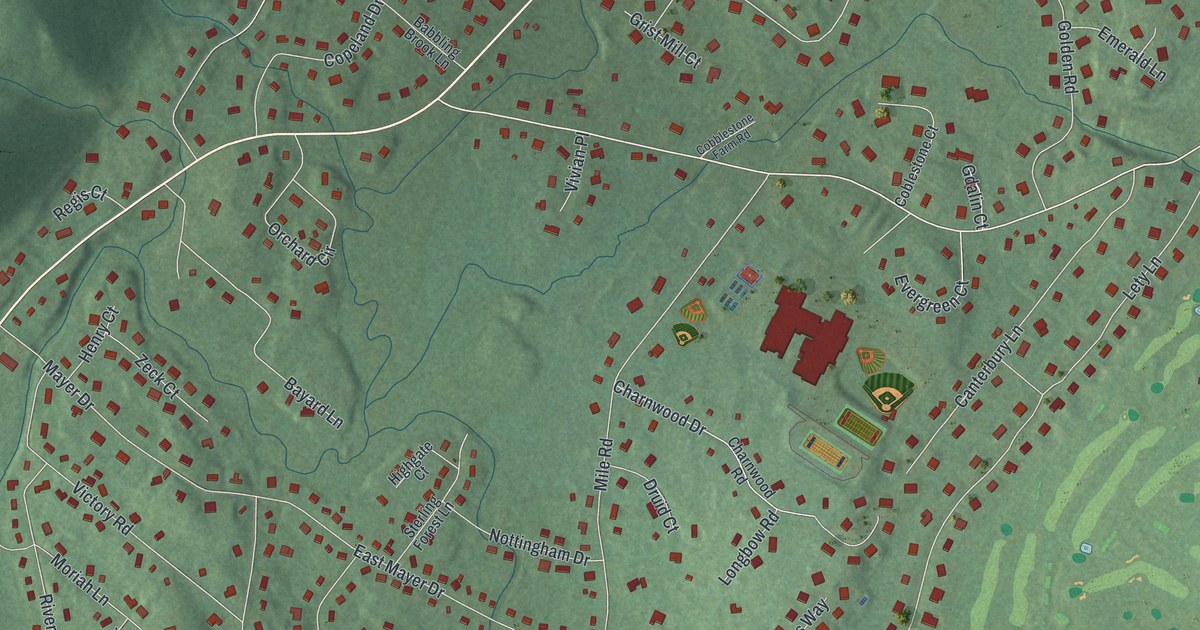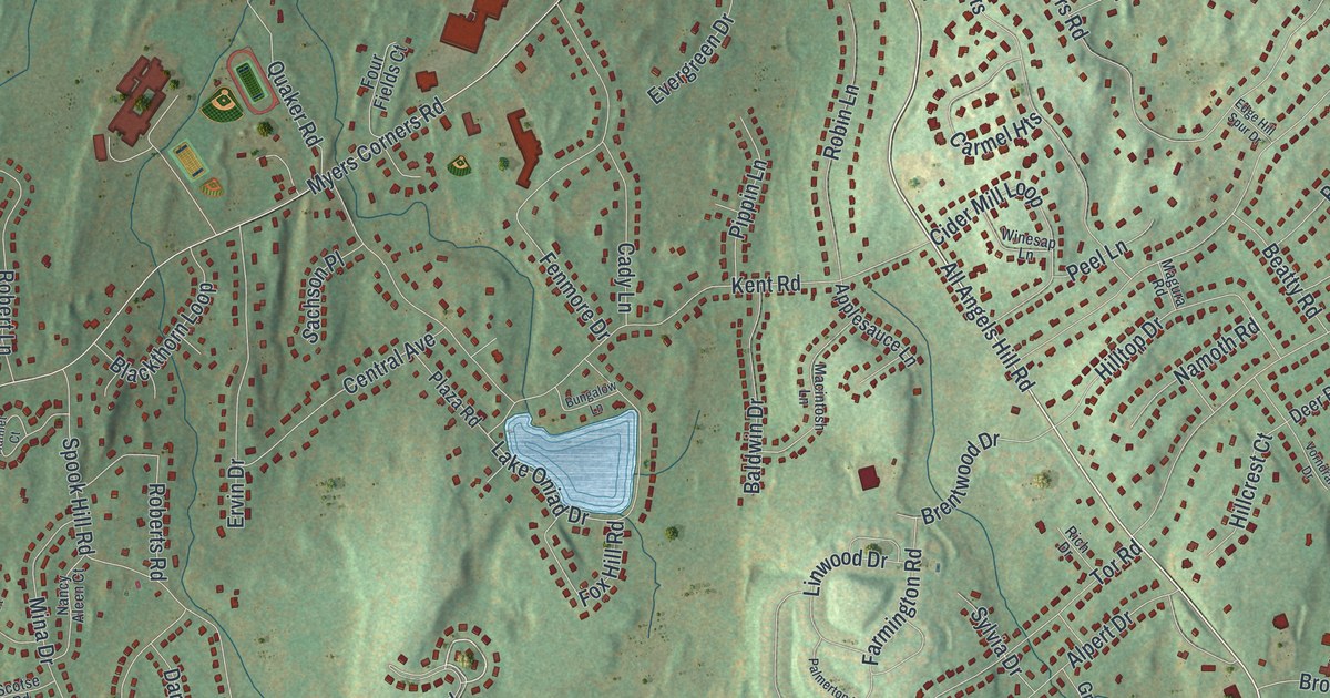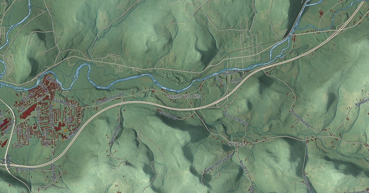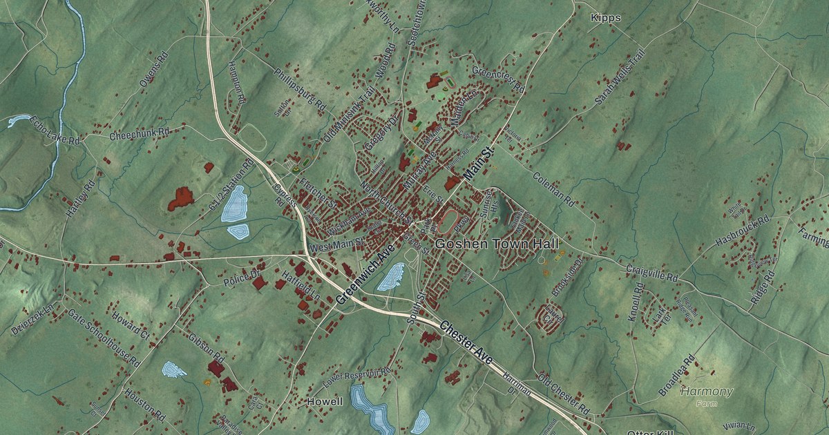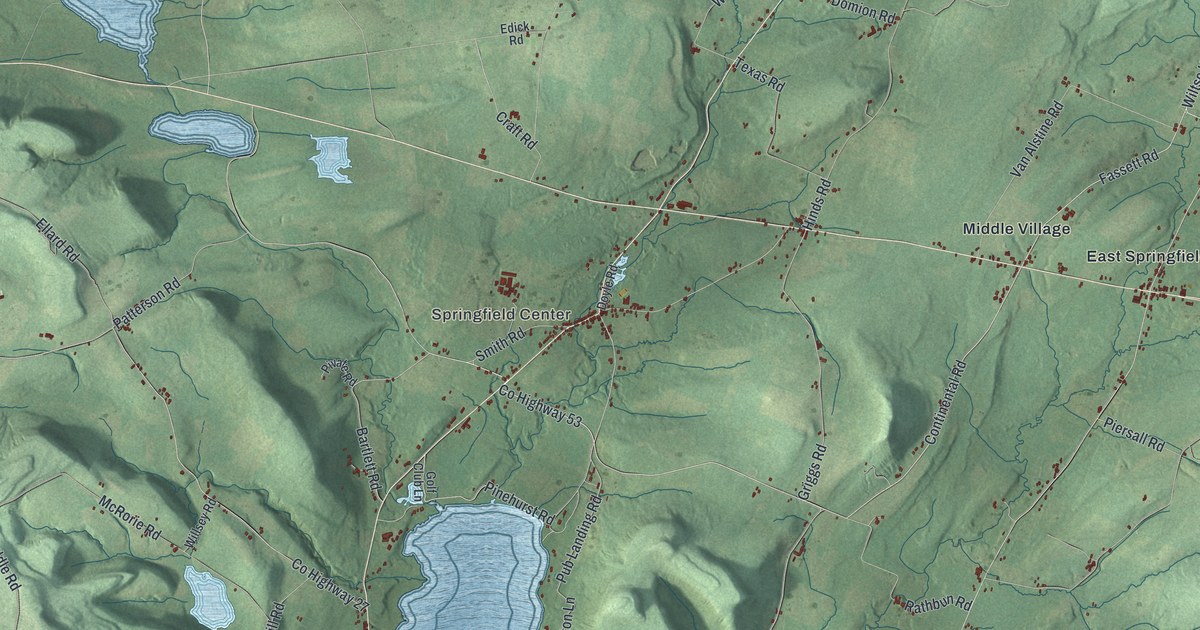
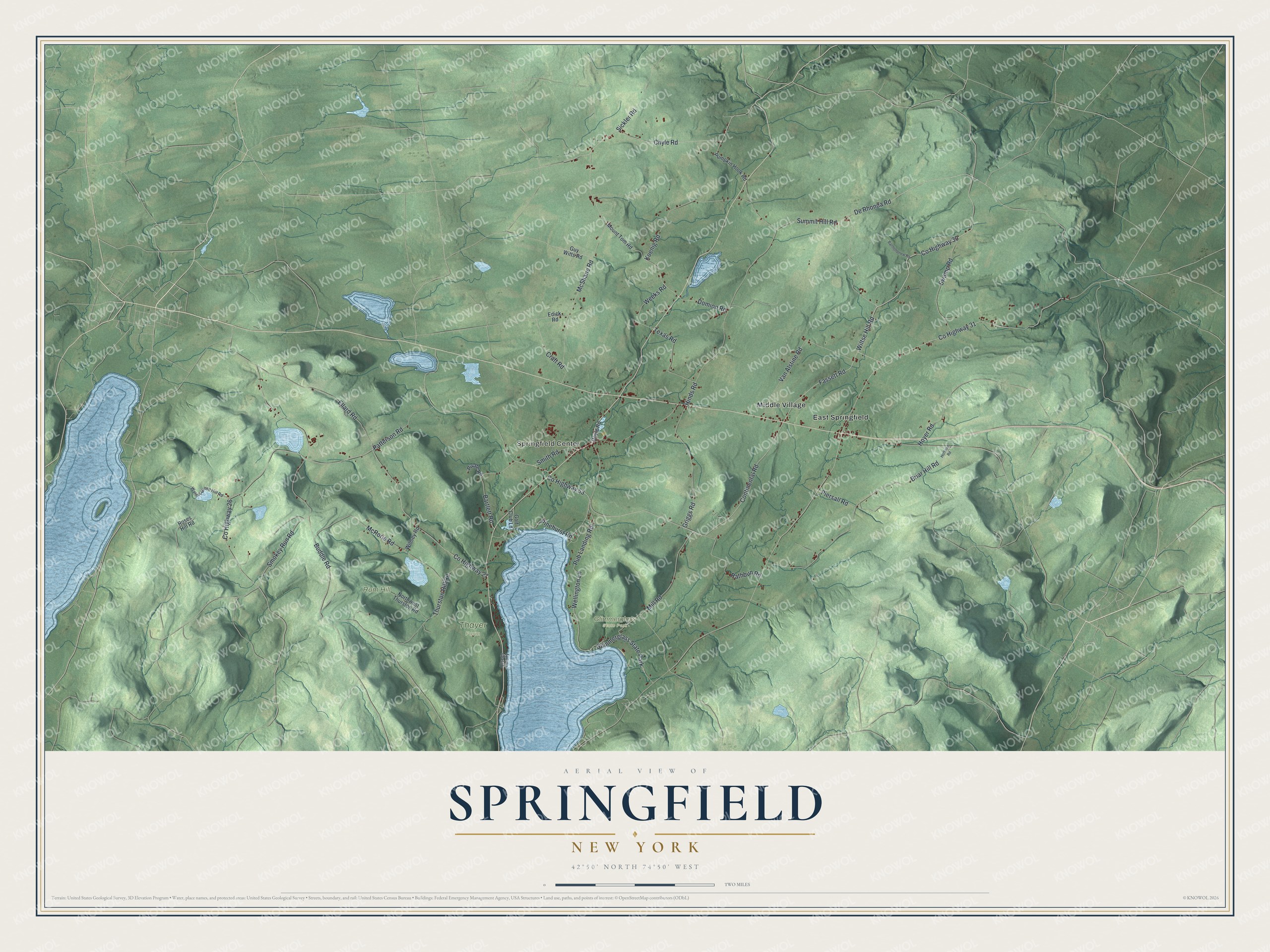
This beautifully detailed map of Springfield, New York was created in 2026 using aerial imagery combined with modern topographical, census, street and landmark data. It’s a one-of-a-kind view of Springfield that combines accurate data with a vintage aesthetic. The map shows every building in its true location, many of the roads carry their names, and the shaded topographic relief shows the shape of the land.
Explore an aerial view of Springfield, New York
On the map you’ll find Glimmerglass State Park, Springfield Center, East Springfield, and Middle Village, along with Continental Road, Fassett Road, Wiltse Hill Road, Pub Landing Road, and more. If you look closely you can even find your house accurately drawn in its correct location. Zoom in on the preview to look for yours.
Did You Know?
In 1778 the Native leader Joseph Brant led a raid that burned Springfield and carried off captives. A few families had settled near Otsego Lake around 1762, but little grew until after the Revolution. Springfield was formed from Cherry Valley in 1797, and hop growing became a major farm business.
Take a closer look at the Springfield map
Names on this map
These names are printed on this map.
Places: Springfield Center, Glimmerglass State Park, Rum Hill, Thayer Farm, East Springfield and Middle Village.
Streets and roads: Continental Road, Fassett Road, Wiltse Hill Road, Pub Landing Road, Mill Road, Wellington Lane, County Highway 53, Bartlett Road, County Highway 30, Griggs Road, Chyle Road, County Highway 31.
More street names, A to Z
Bartholomew Road, Briar Hill Road, Buddle Road, County Highway 26, County Highway 27, Craft Road, De Rhonda Road, Domion Road, Doyle Road, Edick Road, Ellard Road, Golf Club Lane, Guy Witts Road, Hinds Road, Hoffman Road, Hoyer Road, Koenig Road, McRorie Road, McShane Road, Mount Tom Road, Northwest Thurston Road, Otsego Colony, Patterson Road, Piersall Road, Pinehurst Road, Pivate Road, Pumpkin Hook Road, Rathbun Road, Roses Hill Road, Sickler Road, Smith Road, Smokey Run Road, Summit Hill Road, Swamp Road, Texas Road, Thurston Hill Road, Van Alstine Road, Walnut Grove Hill Road, Weeks Road, Willsey Road.
See it on a wall
The Springfield map as a framed print. Swipe for more.


This beautifully detailed map of Springfield makes an attractive addition to your office, library, or den, and it can even be used to teach children the geography and history of the area. It also makes a great gift for someone who left Springfield and still calls it home. When you’re done exploring, click here to get your copy of the Springfield map.