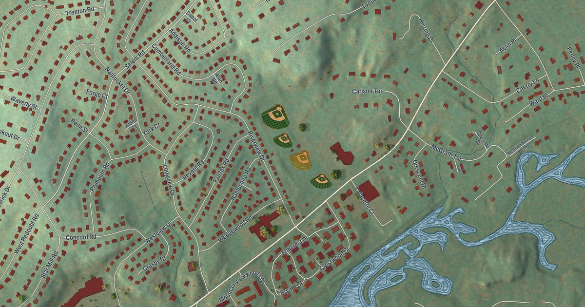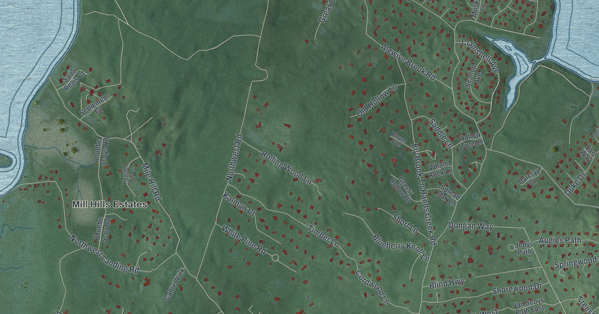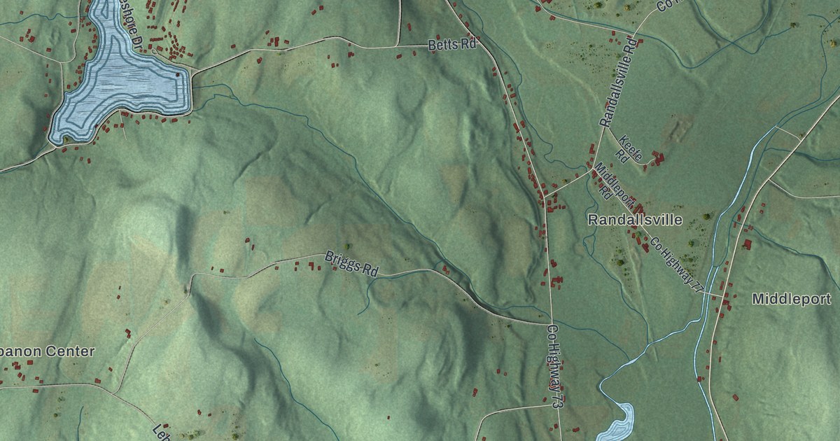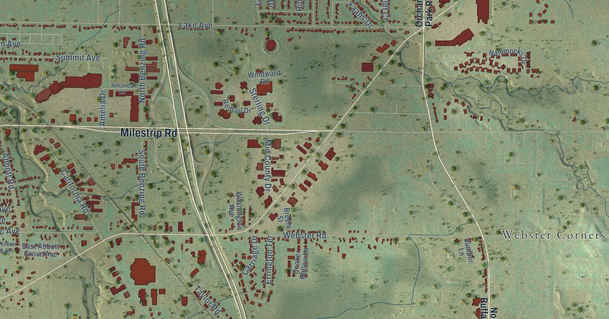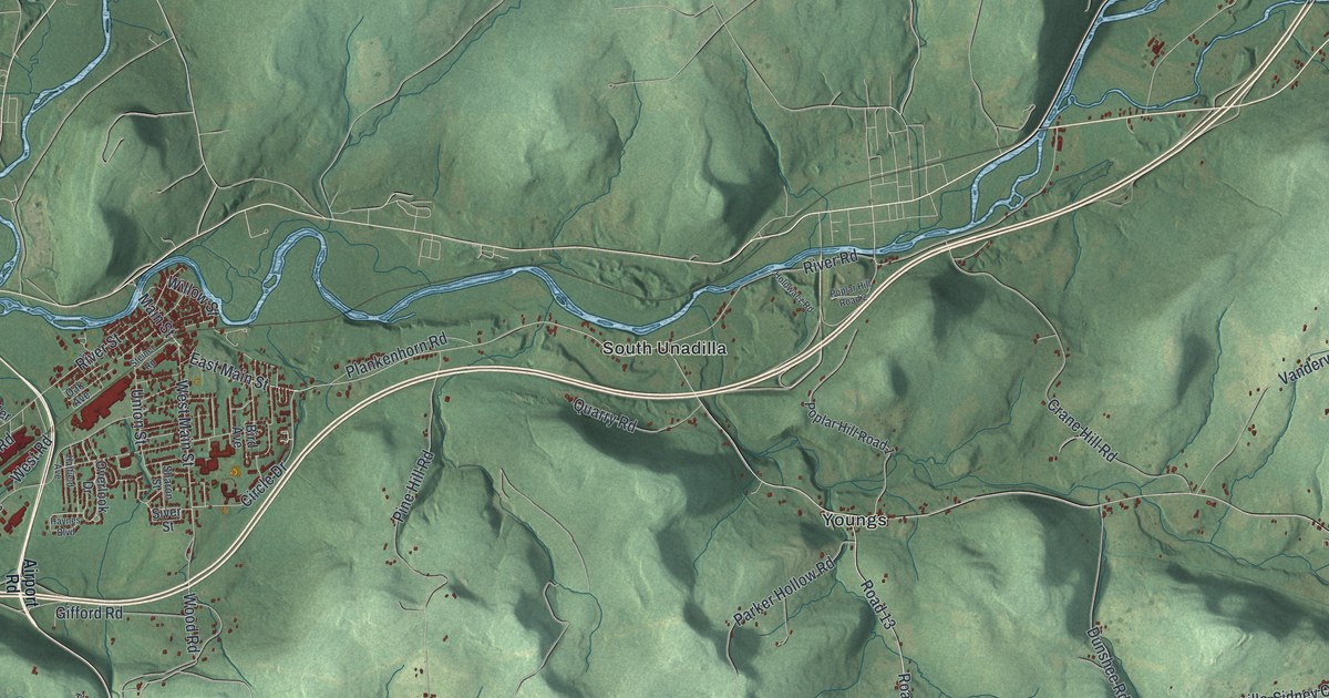
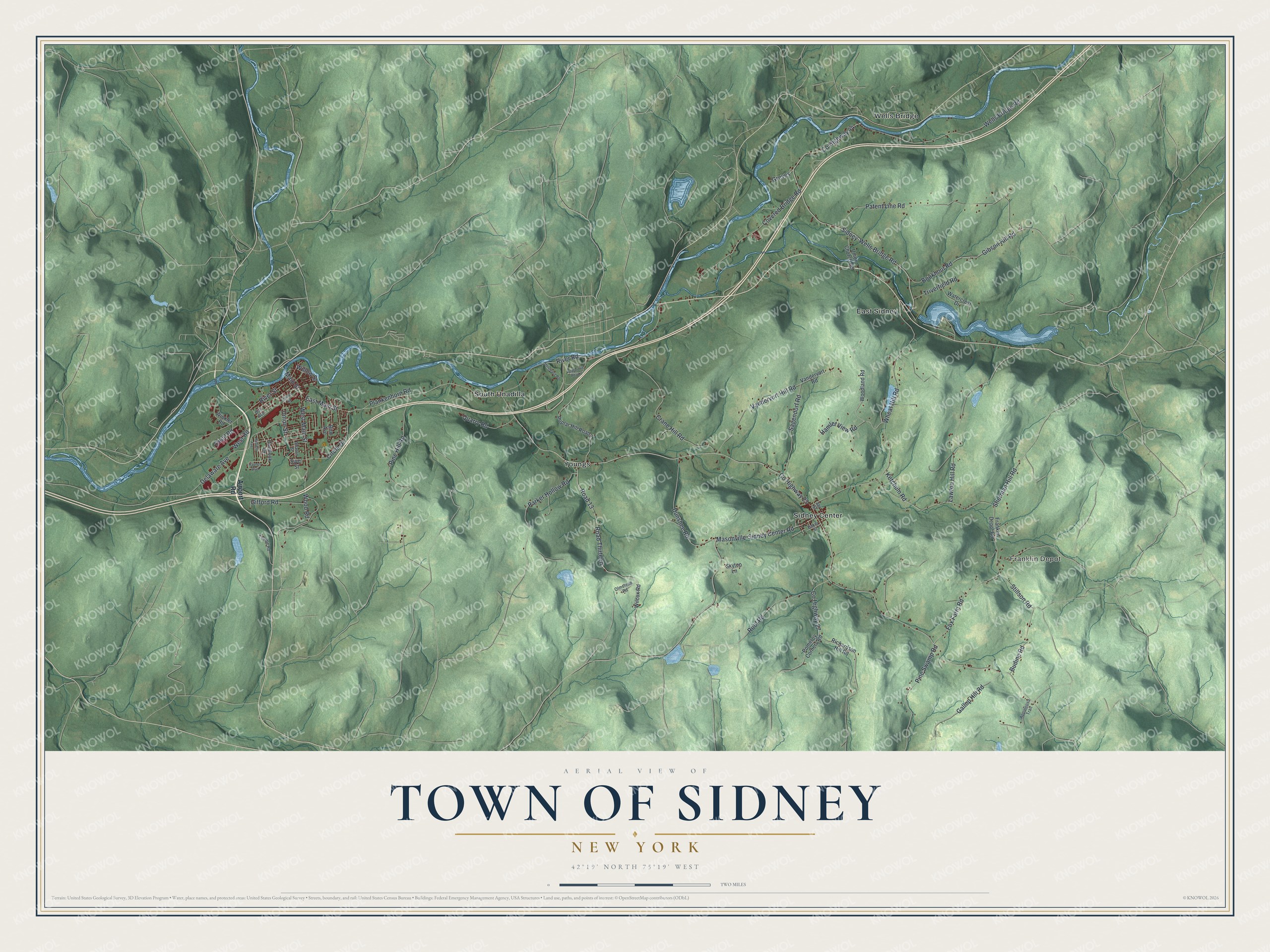
This beautifully detailed map of the Town of Sidney, New York was created in 2026 using aerial imagery combined with modern topographical, census, street and landmark data. It’s a one-of-a-kind view of the Town of Sidney that combines accurate data with a vintage aesthetic. The map shows every building in its true location, many of the roads carry their names, and the shaded topographic relief shows the shape of the land.
Explore an aerial view of the Town of Sidney, New York
On the map you’ll find Franklin Depot, East Sidney, Sidney Center, South Unadilla, and Wells Bridge, along with Airport Road, River Road, Sidney-Wells Bridge Road, Main Street, Wells Bridge Road, and more. If you look closely you can even find your house accurately drawn in its correct location. Zoom in on the preview to look for yours.
Did You Know?
In May 1772 the Rev. Wm. Johnston explored this country with an Indian guide and chose the site of Sidney Plains. He moved his family there early in 1773. He was the first settler in the Susquehanna Valley in New York. Threats from local Indians drove the settlers away during the Revolution, but many returned when it ended. That’s from the 1860 Gazetteer of the State of New York.
Take a closer look at the Town of Sidney map
Names on this map
These names are printed on this map.
Places: Franklin Depot, East Sidney, Sidney Center, South Unadilla, Wells Bridge and Youngs.
Streets and roads: Road 13, County Highway 23, River Road, Sidney-Wells Bridge Road, County Highway 44, East Main Street, Main Street, Wells Bridge Road, Patent Line Road, Masonville-Sidney Center Road, Wheat Hill Road, Road Thirteen.
More street names, A to Z
Airport Road, Appaloosa Trail, Baker Street, Bird Avenue, Bookhout Road, Budine Road, Circle Drive, County Highway 27, Covered Bridge Road, Crane Hill Road, Delaware Avenue, Dunshee Road, Fox Farm Road, Franklin Depot Road, Gallop Hill Road, Gibson Hill Road, Gifford Road, Greves, Hamlet View Road, Hatfield Avenue, Haynes Boulevard, Holowacz Road, Jay Street, Ketchum Road, Lawton Hill Road, Oak Avenue, Olmstead Road, Oneil Road, Overlook Drive, Parker Hollow Road, Pine Hill Road, Pine Swamp Road, Plankenhorn Road, Pomeroy Corners Road, Poplar Hill Road 1, Poplar Hill Road 2, Quarry Road, Richardson Hill Road, River Street, Roof Road, Sagendorf Road, Sharon Street, Sherman Hill Road, Siver Street, Skytop Lane, Steiner Road, Stillson Road, Thorpe Road, Triverfield Road, Union Church Road, Union Street, Vandervort Hill Road, Vandervort Road, Watercrest Drive, West Main Street, West Road, Wilcox Road, Willow Street, Winkler Road, Woodland Road, Wood Road.
See it on a wall
The Sidney map as a framed print. Swipe for more.


This beautifully detailed map of the Town of Sidney makes an attractive addition to your office, library, or den, and it can even be used to teach children the geography and history of the area. It also makes a great gift for someone who left the Town of Sidney and still calls it home. When you’re done exploring, click here to get your copy of the Town of Sidney map.