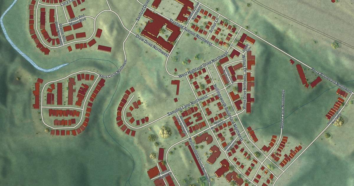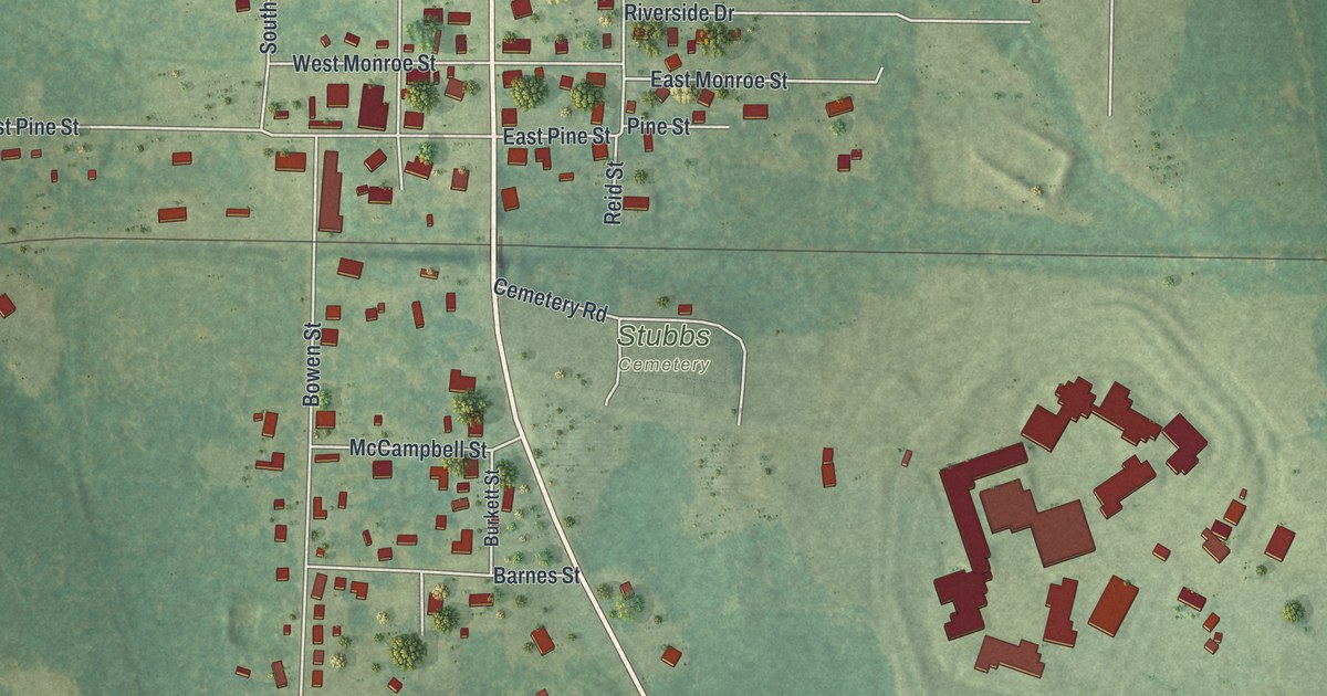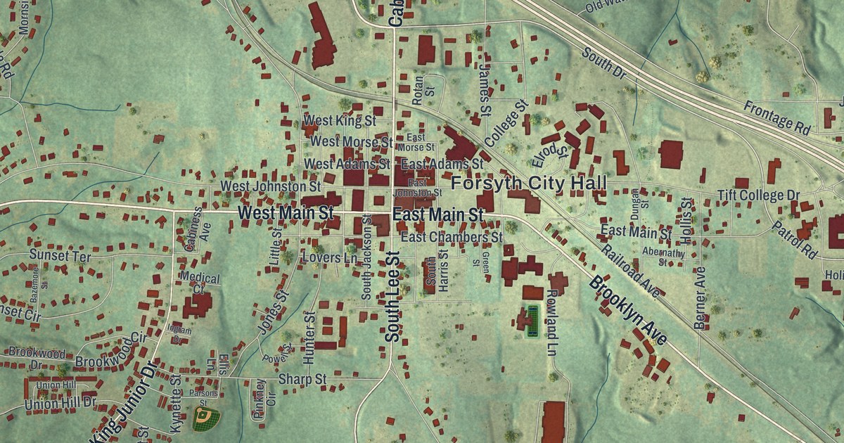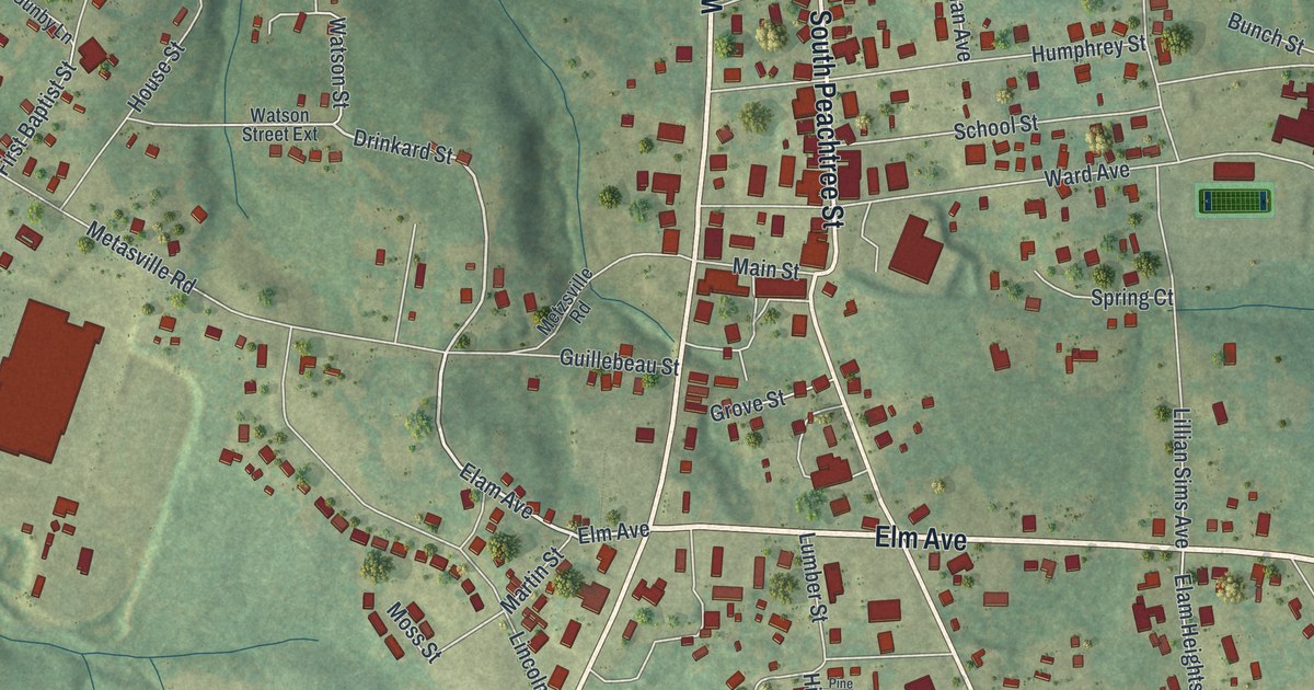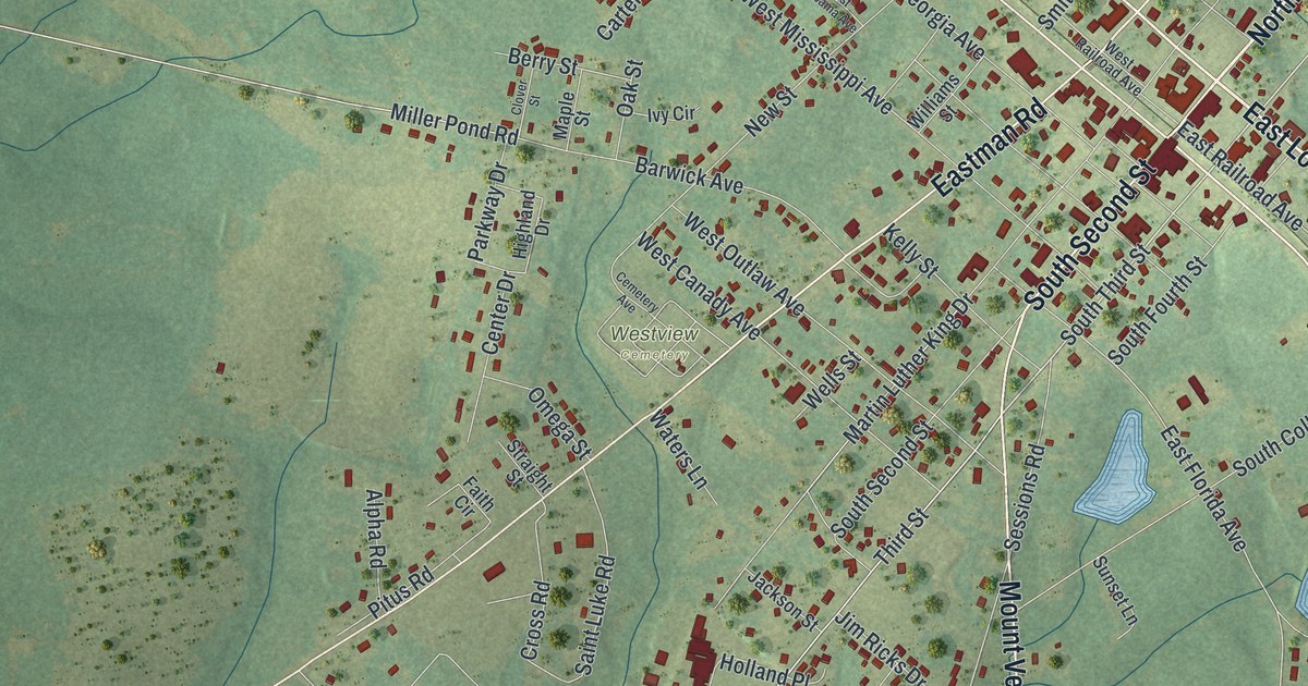
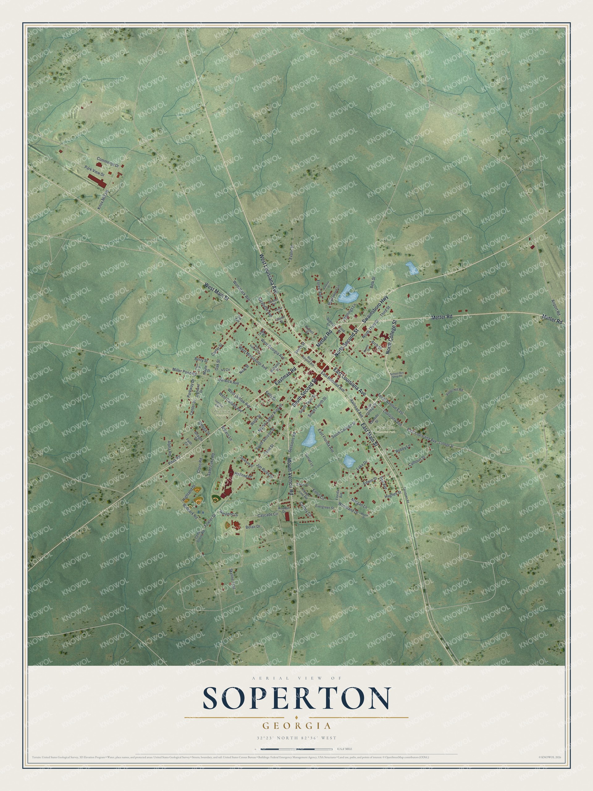
This beautifully detailed map of Soperton, Georgia was created in 2026 using aerial imagery combined with modern topographical, census, street and landmark data. It’s a one-of-a-kind view of Soperton that combines accurate data with a vintage aesthetic. The map shows every building in its true location, many of the roads carry their names, and the shaded topographic relief shows the shape of the land.
Explore an aerial view of Soperton, Georgia
On the map you’ll find Jean Gillis Memorial Park and Westview Cemetery, along with Second Street, Louisiana Avenue, College Street, Metter Road, Swainsboro Highway, and more. If you look closely you can even find your house accurately drawn in its correct location. Zoom in on the preview to look for yours.
Did You Know?
Soperton takes its name from Benjamin Franklin Soper, a railroad official. The town got its post office in 1902. That same year, the Georgia General Assembly made Soperton a town. Today it serves as the seat of Treutlen County.
Take a closer look at the Soperton map
Names on this map
These names are printed on this map.
Places: Jean Gillis Memorial Park and Westview Cemetery.
Streets and roads: North Second Street, East Louisiana Avenue, North College Street, South Second Street, Metter Road, Swainsboro Highway, East Main Street, West Main Street, West Louisiana Avenue, Eastman Road, Mount Vernon Road, Railroad Avenue.
More street names, A to Z
Airport Road, Alpha Road, Arch Street, Ballpark Road, Barwick Avenue, Belair Drive, Belk Street, Bell Avenue, Berry Street, Calhoun Street, Canary Circle, Cardinal Drive, Carter Street, Cascade Circle, Cedar Grove Road, Cemetery Avenue, Center Drive, Clover Street, College Street, Commerce Drive, Cross Road, East Florida Avenue, East Railroad Avenue, Edwin Street, Ennis Circle, Ennis Street, Evans Street, Evergreen Street, Faith Circle, Florida Avenue, Forest Avenue, Fowler Street, Ga Avenue, Glenn Street, Highland Drive, Highland Street, Holland Place, Hughes Street, Ivy Circle, Jackson Street, Jennings Lane, Jim Ricks Drive, Keene Drive, Kelly Street, Knox Mill Road, Lake Drive, Louisiana Avenue, Maple Street, Martin Luther King Drive, Meadowood Lane, Miller Pond Road, Morgan Lane, Morgan Street, New Street, Norman Street, North Third Street, Oak Street, Omega Street, Park View Drive, Parkway Drive, Pitus Road, Power Line Road, Project Street, Robby Lane, Roydon Drive, Saint Luke Road, Sarabel Avenue, Sarabelle Avenue, School Bus Shop Road, Sessions Road, Skyline Trail, Smith Street, South College Street, South Fourth Street, South Third Street, Straight Street, Sumner Lane, Sunset Lane, Tarrytown Road, Texas Avenue East, Third Street, Troup Street, Twiggs Street, Varnedo Street, Violet Hill Road, Waters Lane, Wells Street, West Alabama Avenue, West Canady Avenue, Westend Drive, West Georgia Avenue, West Mississippi Avenue, West Outlaw Avenue, West Railroad Avenue, Williams Street, Wommack Avenue, Woodland Drive.
See it on a wall
The Soperton map as a framed print. Swipe for more.


This beautifully detailed map of Soperton makes an attractive addition to your office, library, or den, and it can even be used to teach children the geography and history of the area. It also makes a great gift for anyone who grew up in Soperton or moved away. When you’re done exploring, click here to get your copy of the Soperton map.