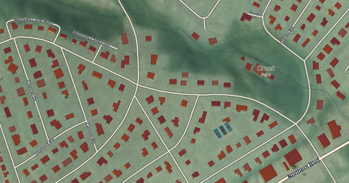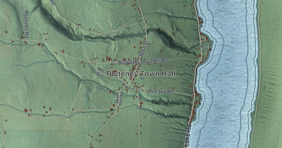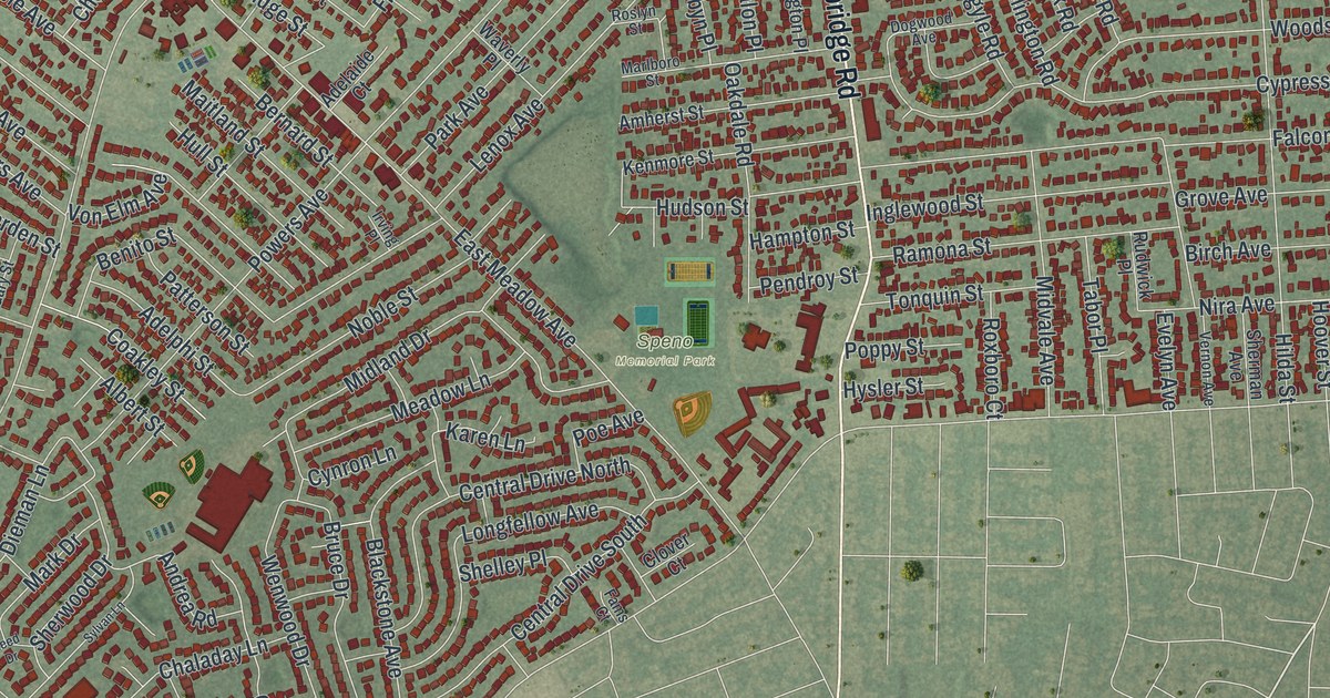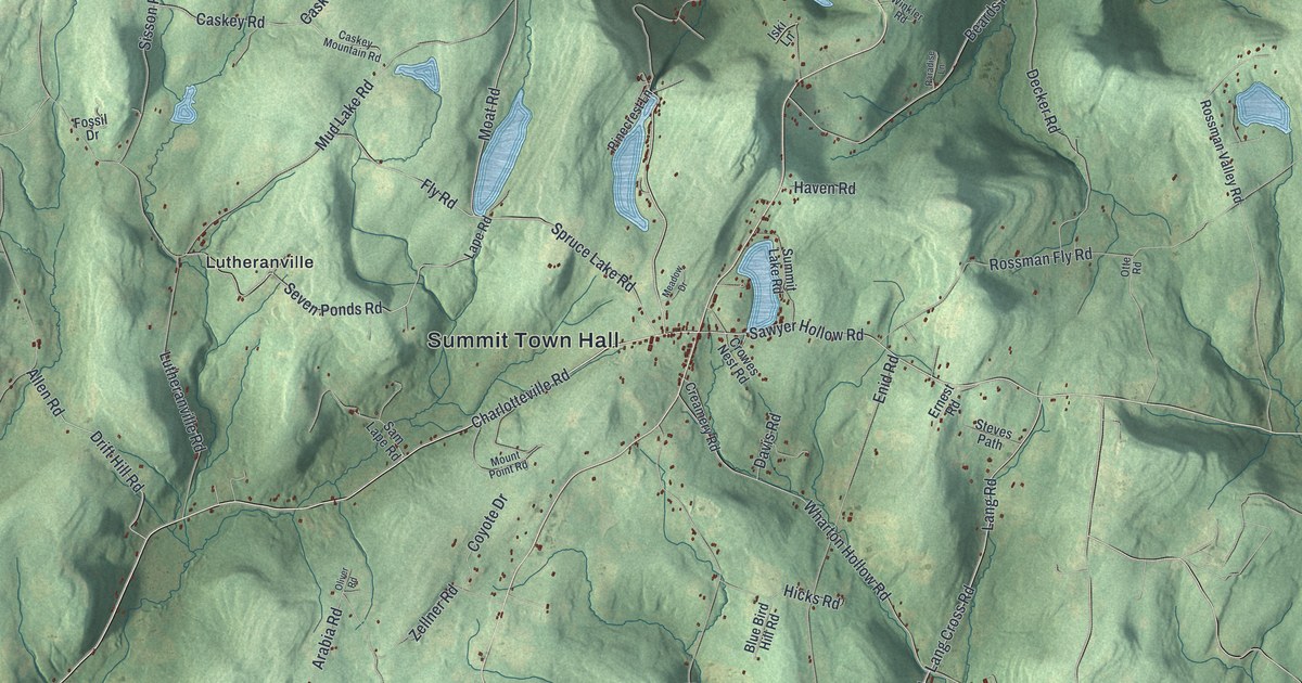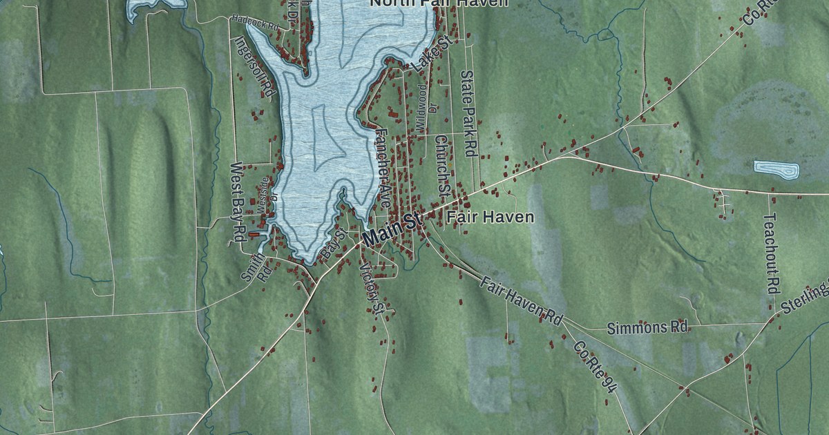
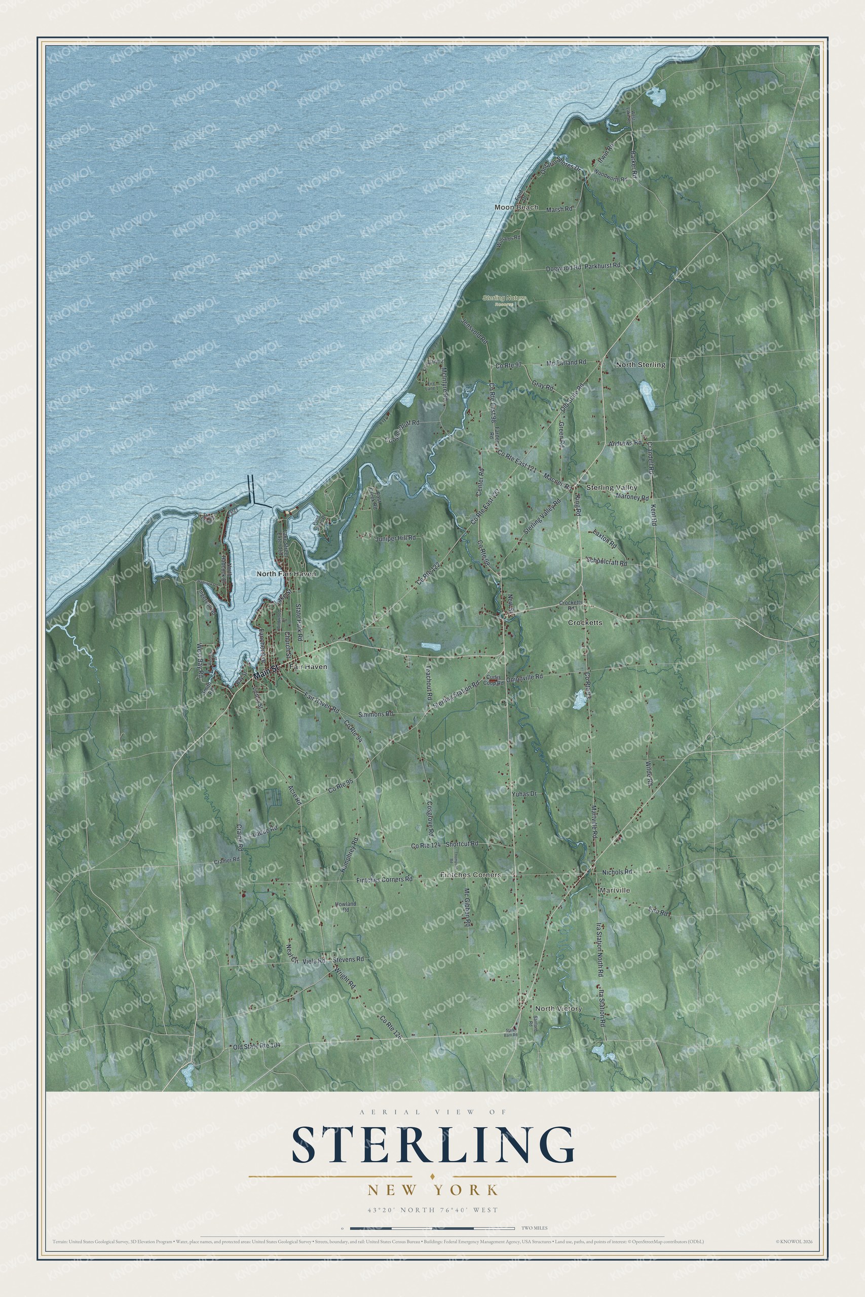
This beautifully detailed map of Sterling, New York was created in 2026 using aerial imagery combined with modern topographical, census, street and landmark data. It’s a one-of-a-kind view of Sterling that combines accurate data with a vintage aesthetic. The map shows every building in its true location, many of the roads carry their names, and the shaded topographic relief shows the shape of the land.
Explore an aerial view of Sterling, New York
On the map you’ll find North Victory, Moon Beach, Martville, Fintches Corners, Crocketts, and Sterling Nature Reserve, along with Main Street, Viele Road, Green Road, Center Road, Macneil Road, and more. If you look closely you can even find your house accurately drawn in its correct location. Zoom in on the preview to look for yours.
Did You Know?
Sterling was named for William Alexander, known as Lord Stirling, an American general in the Revolutionary War. The first settler of European descent came in 1805. His name was Pierre Dumas, though some records call him Peter DeMass. The town was formed out of Cato in 1812.
Take a closer look at the Sterling map
Names on this map
These names are printed on this map.
Places: North Victory, Moon Beach, Martville, Fintches Corners, Sterling Nature Reserve, Crocketts, Fair Haven, North Fair Haven, North Sterling and Sterling Valley.
Streets and roads: Main Street, County Route East 98, Viele Road, County Route East 121, State Park Road, Green Road, Center Road, Macneil Road, Sterling Station Road, West Bay Road, County Route 95, Barker Road.
More street names, A to Z
Acre Road, Andrews Road, Bay Street, Church Street, Cooper Bluff Road, Cosgrove Road, County Route 93, County Route 94, County Route 97, County Route 98, County Route 122, County Route 124, County Route 126, County Route East 122, Craine Road, Cramer Road, Crandell Road, Crocketts Road, Curtis Coop Road, Dogwood Road, East Creek Road, Eno Road, Fair Haven Road, Fancher Avenue, Farden Road, Fintches Corners Road, Fire Lane 1, Fire Lane 2, Ford Drive, Gray Road, Hadcock Road, Howland Road, Humphrey Road, Ingersoll Road, Ira Station North Road, Ira Station Road, Irwin Road, Jensvold Road, Juniper Hill Road, Kent Road, King Road, Ladue Road, Lake Street, Lake Street Extended, Laxton Road, Maroney Road, Marsh Road, Martville Road, Mc Farland Road, Mc Gibben Road, McIntyre Road, Neal Circle, New Street, Nichols Road, North Hadcock Drive, Old State Road, Old State Route 104, Onionville Road, Ontario Shores Drive, Parkhurst Road, Pond Shore Drive, Sanford Road, Schoolcraft Road, Shady Shores, Shortcut Road, Simmons Road, Smith Road, State Barn Road, Sterling Valley Road, Stevens Road, Teachout Road, Thompson Road, Victory Street, West Lake Road, Westside Drive, Wilde Road, Wildwood Drive, Williams Road, Woodworth Road, Wright Road, Yuhas Drive.
See it on a wall
The Sterling map as a framed print. Swipe for more.


This beautifully detailed map of Sterling makes an attractive addition to your office, library, or den, and it can even be used to teach children the geography and history of the area. It also makes a great gift for someone who left Sterling and still calls it home. When you’re done exploring, click here to get your copy of the Sterling map.