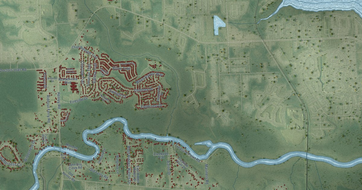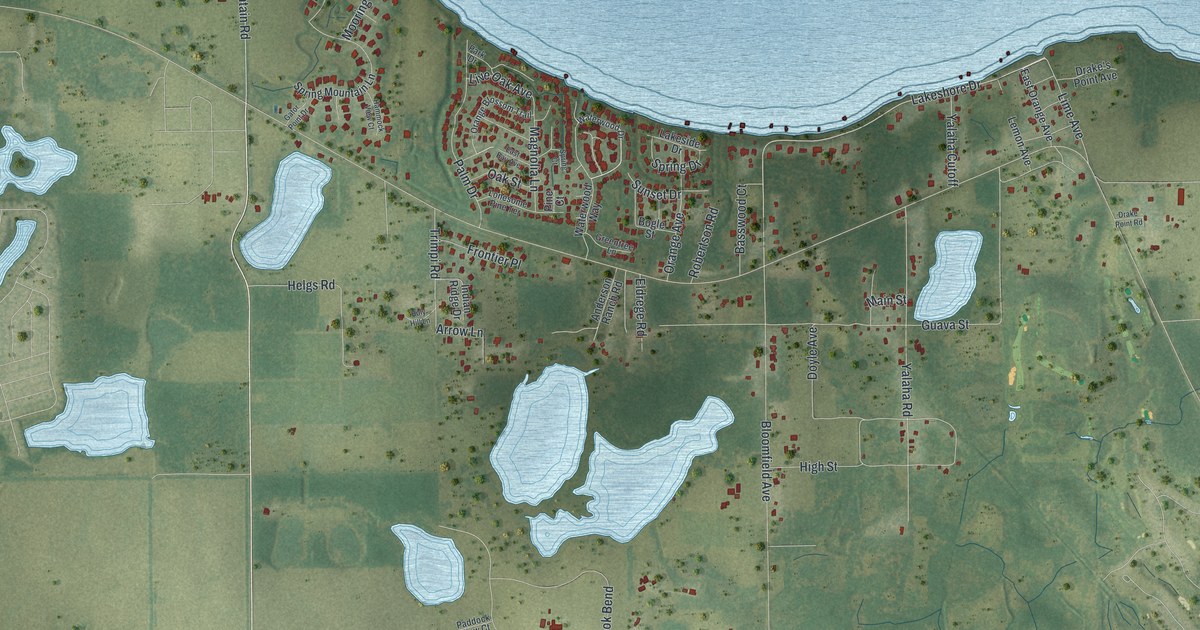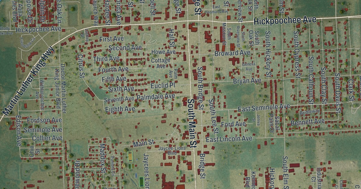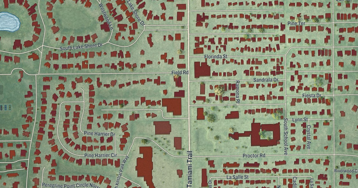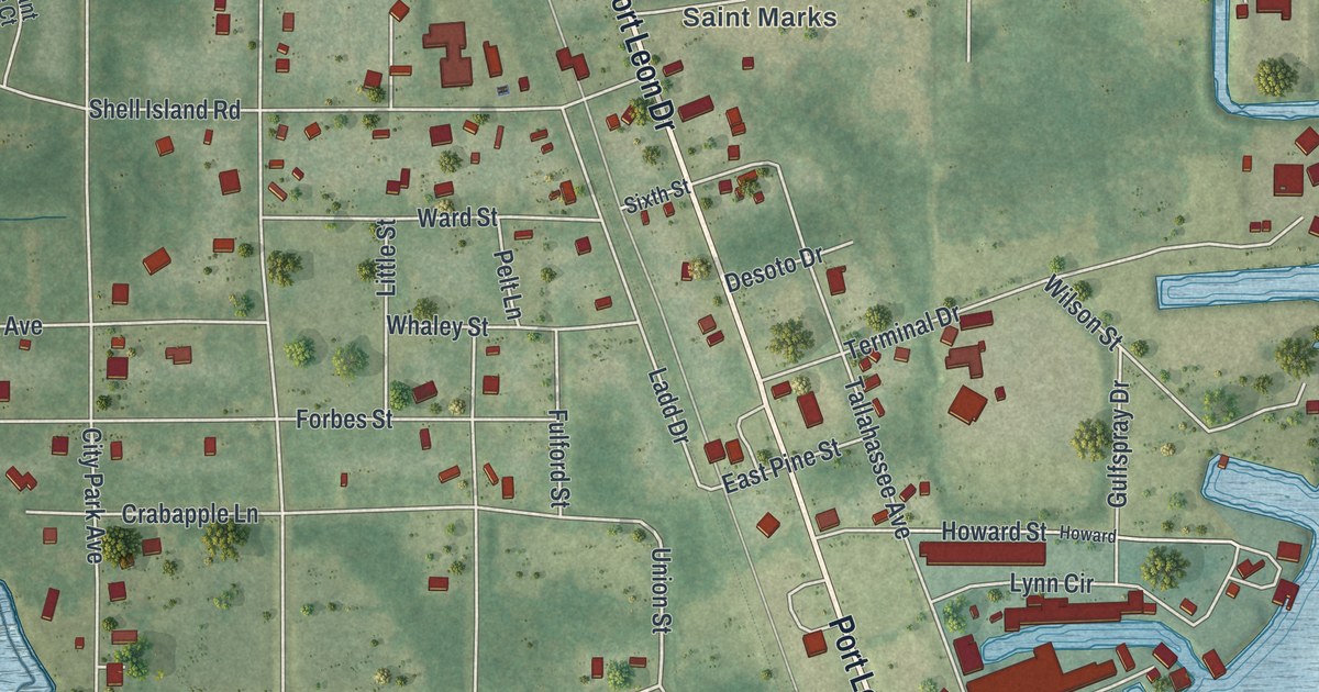
This beautifully detailed map of St. Marks, Florida was created in 2026 using aerial imagery combined with modern topographical, census, street and landmark data. It’s a one-of-a-kind view of St. Marks that combines accurate data with a vintage aesthetic. The map shows every building in its true location, many of the roads carry their names, and the shaded topographic relief shows the shape of the land.
Explore an aerial view of St. Marks, Florida
On the map you’ll find Shell Island, along with Port Leon Drive, Old Palmetto Path, Old Fort Road, River Breeze Street, Union Street, Purdom Generating Station Road, Old Fort Drive, Fire Escape Road, Saint Marks Refinery Road, Shell Island Road, and more. If you look closely you can even find your house accurately drawn in its correct location. Zoom in on the preview to look for yours.
Did You Know?
The Spanish founded the town as San Marcos de Apalache around a fort in the 1600s. In 1818 Andrew Jackson invaded Spanish West Florida. At the old fort he executed two British men, Robert Ambrister and Alexander Arbuthnot. His act nearly pulled the United States into an international conflict.
Take a closer look at the St. Marks map

Names on this map
These names are printed on this map.
Places: Shell Island and Saint Marks.
Streets and roads: Port Leon Drive, Old Palmetto Path, Old Fort Road, River Breeze Street, Union Street, Purdom Generating Station Road, Old Fort Drive, Fire Escape Road, Saint Marks Refinery Road, Shell Island Road, Burnt Pine Loop, Hope Lane.
More street names, A to Z
Aralea Lane, Boulder Run, Cabbage Palm Court, City Park Avenue, Coquina Crossing Drive, Crabapple Lane, Desoto Drive, East Pine Street, Forbes Street, Fulford Street, Gulfspray Drive, Hobbs Way, Howard, Howard Street, Ivey Adams Street, Ladd Drive, Little Street, Lynn Circle, Mock Street, Newport Road, Nichols Court, Pelt Lane, Pirate's Cove Lane, Riverside Drive, Sergeant Preble Court, Sixth Street, Sweet Gum Trail, Sylvania Avenue, Tallahassee Avenue, Terminal Drive, Ward Street, Water Oak Drive, Whaley Street, Wilson Street.
See it on a wall
The St. Marks map as a framed print. Swipe for more.


This beautifully detailed map of St. Marks makes an attractive addition to your office, library, or den, and it can even be used to teach children the geography and history of the area. It also makes a great gift for anyone who grew up in St. Marks or moved away. When you’re done exploring, click here to get your copy of the St. Marks map.