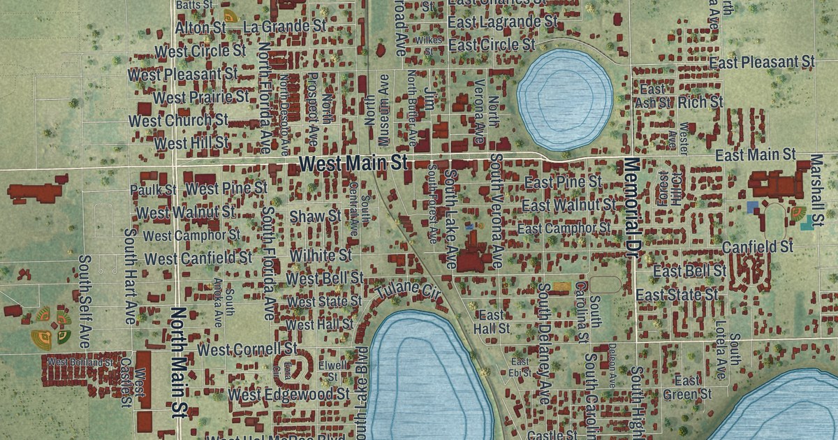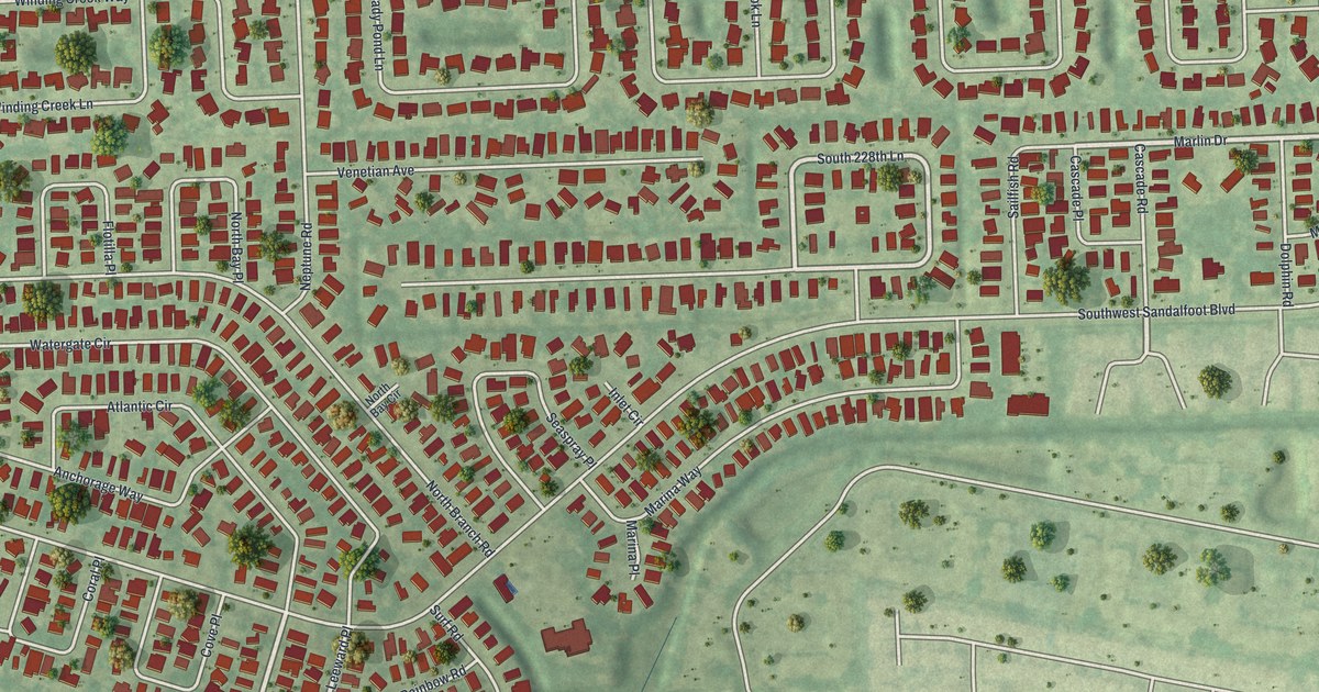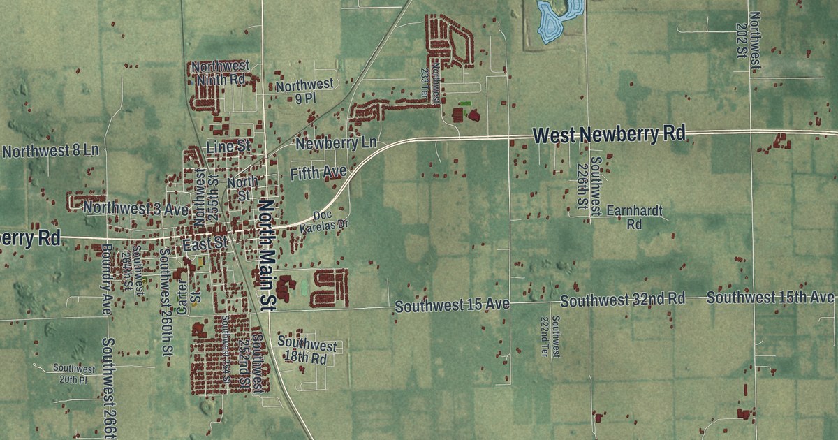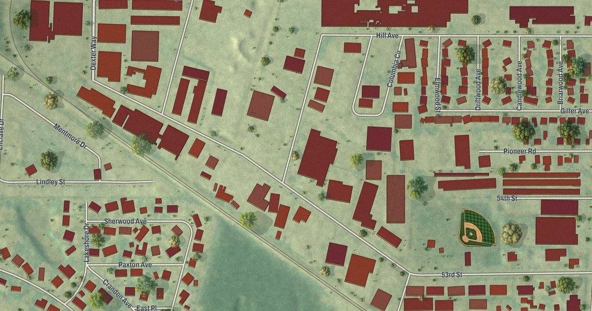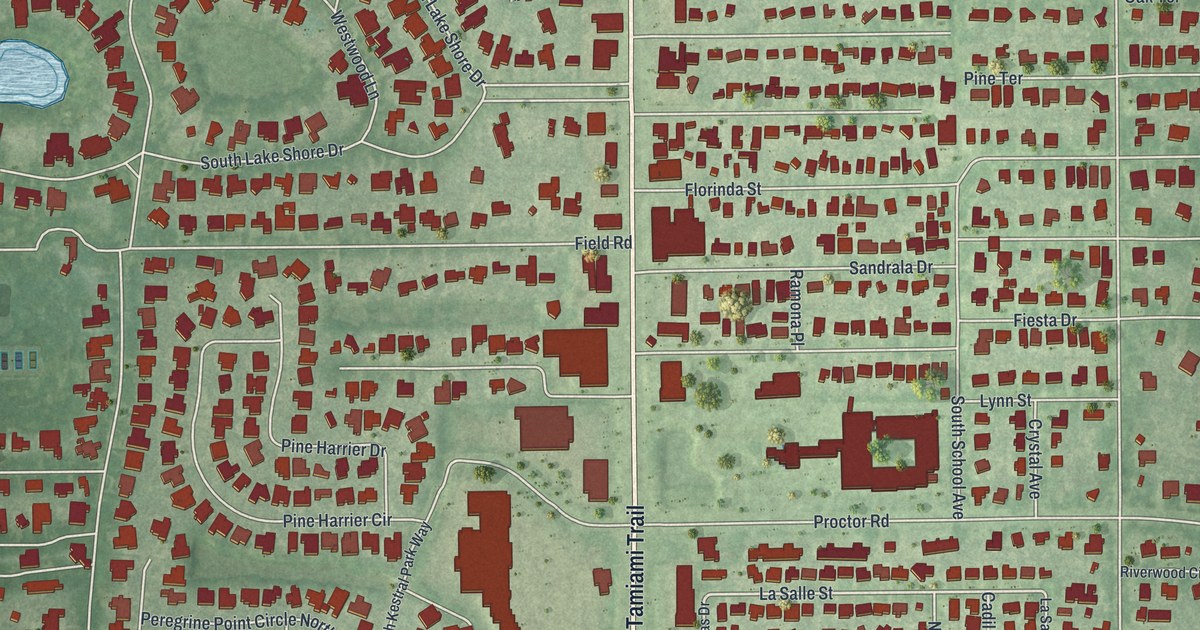
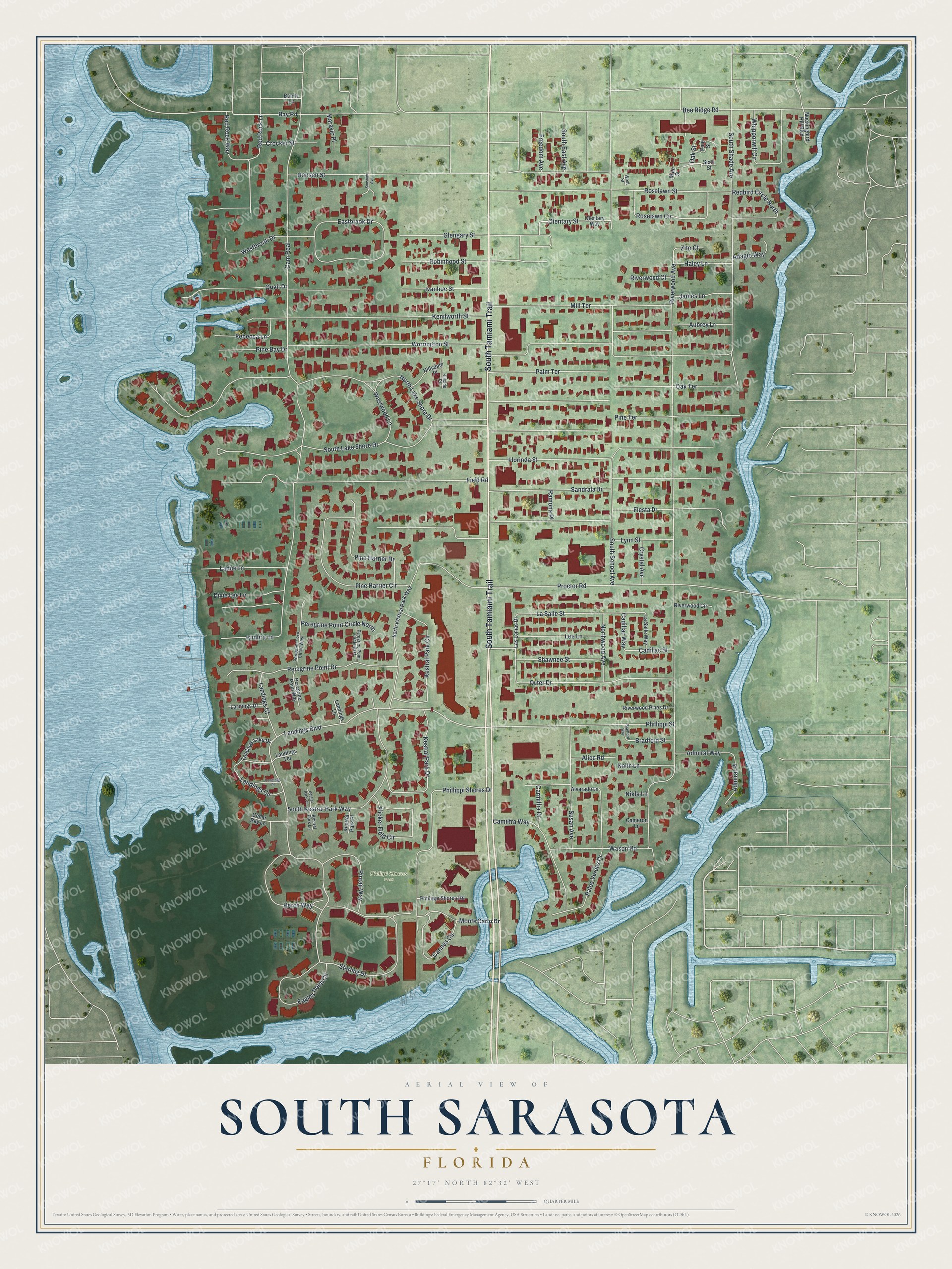
This beautifully detailed map of South Sarasota, Florida was created in 2026 using aerial imagery combined with modern topographical, census, street and landmark data. It's a modern aerial view of South Sarasota in Sarasota County, Florida, that combines modern data with a vintage aesthetic. The roads feature printed names, and if you look closely you can find your exact house accurately shown in its correct location.
Explore an aerial view of South Sarasota, Florida
On this map you'll find Phillipi Shores Park, South Tamiami Trail, Landings Boulevard, La Salle Street, Red Rock Lane, Starling Drive, Bay Road, Riverwood Avenue, Cam Real, North Lake Shore Drive, Fiesta Drive, Proctor Road, and more. Each red shape is a building, so zoom in on the preview and look for yours.
South Sarasota is a community in Sarasota County. The Census Bureau counted 5,133 people here in 2020. South Sarasota sits about 2 miles southwest of Southgate, 2 miles west of South Gate Ridge and 3 miles northwest of Gulf Gate. The map prints the town name in its title panel, with the coordinates below it.
Take a closer look at the South Sarasota map
Names on this map
These names are printed on this map.
Places: Phillipi Shores Park.
Streets and roads: South Tamiami Trail, Landings Boulevard, La Salle Street, Red Rock Lane, Starling Drive, Bay Road, Riverwood Avenue, Cam Real, North Lake Shore Drive, Fiesta Drive, Proctor Road, Worrington Street.
More street names, A to Z
Adagio Way, Admiral Place, Admiral Way, Alice Road, Alvarado Lane, Aubrey Lane, Bee Ridge Road, Bonita Lane, Bradford Street, Bradford Way, Cadillac Street, Cadillac Way, Cameron Lane, Camilfra Way, Cannes Circle, Carmilfra Drive, Cedar Bay Lane, Crocker Street, Crystal Avenue, Dixie Lee Lane, Eagles Point Circle, Eastbrook Drive, Field Road, Flicker Field Circle, Florinda Street, Freedom Avenue, Glengary Street, Haley Lane, Hansen Street, Heron Way, Hillsdale Place, Hillside Place, Ivanhoe Street, James Lane, Kalin Lane, Kenilworth Street, Kestral Park Circle, Kestral Park Drive, Kestral Park Lane, Kestral Park Place, Kestral Park Terrace, Kimlira Lane, Ladue Lane, Landings Circle, Landings Court, Landings Drive, Landings Lake Drive, Landings Lane, Landings Place, Landings Terrace, La Salle Way, Las Lomas Drive, Lee Lane, Lynn Street, Main Street, Maravic Place, Mill Terrace, Mockingbird Hill Boulevard, Monte Carlo Drive, Nikla Lane, North Kestral Park Way, Northwood Avenue, Oak Street, Oak Terrace, Olentary Street, Olentary Way, Outer Drive, Palm Terrace, Palos Verdes Drive, Peregrine Point Circle East, Peregrine Point Circle North, Peregrine Point Circle West, Peregrine Point Drive, Peregrine Point Way, Phillippi Shores Drive, Phillippi Shores Road, Phillippi Street, Pine Bay Drive, Pine Harrier Circle, Pine Harrier Drive, Pine Street, Pine Terrace, Pintail Way, Quail Drive, Ramona Place, Rebecca Lane, Redbird Circle North, Red Rock Way, Riverwood Circle, Riverwood Court, Riverwood Pines Drive, Robinhood Street, Roselawn Circle, Roselawn Street, Sandrala Drive, Shawnee Street, Sixth Street, South East Avenue, South Kestral Park Way, South Lake Shore Drive, South School Avenue, South Shade Avenue, Sunshine Avenue, Susan Avenue, Wason Road, Westbrook Drive, West Street, Westwood Lane, Whipporwill Circle, Zito Court.
See it on a wall
The South Sarasota map as a framed print. Swipe for more.


Created by KNOWOL in 2026. The buildings are small red shapes, the roads carry their printed names, and shaded relief shows the shape of the land. The title panel reads "AERIAL VIEW OF SOUTH SARASOTA, FLORIDA" with 27°17' NORTH 82°32' WEST.
It looks right in a kitchen, an office or a den, and it's a gift for anyone who grew up in South Sarasota or moved away. Open the preview and find your street. See sizes and frames for the South Sarasota map.