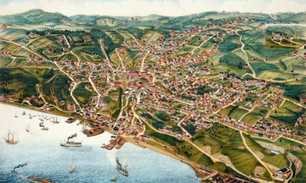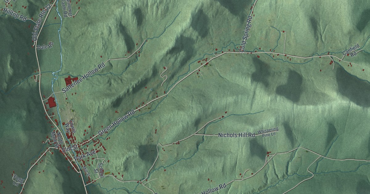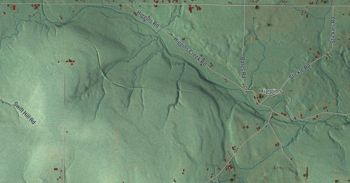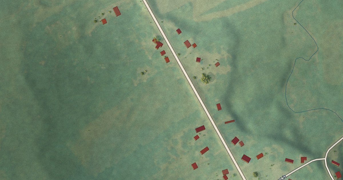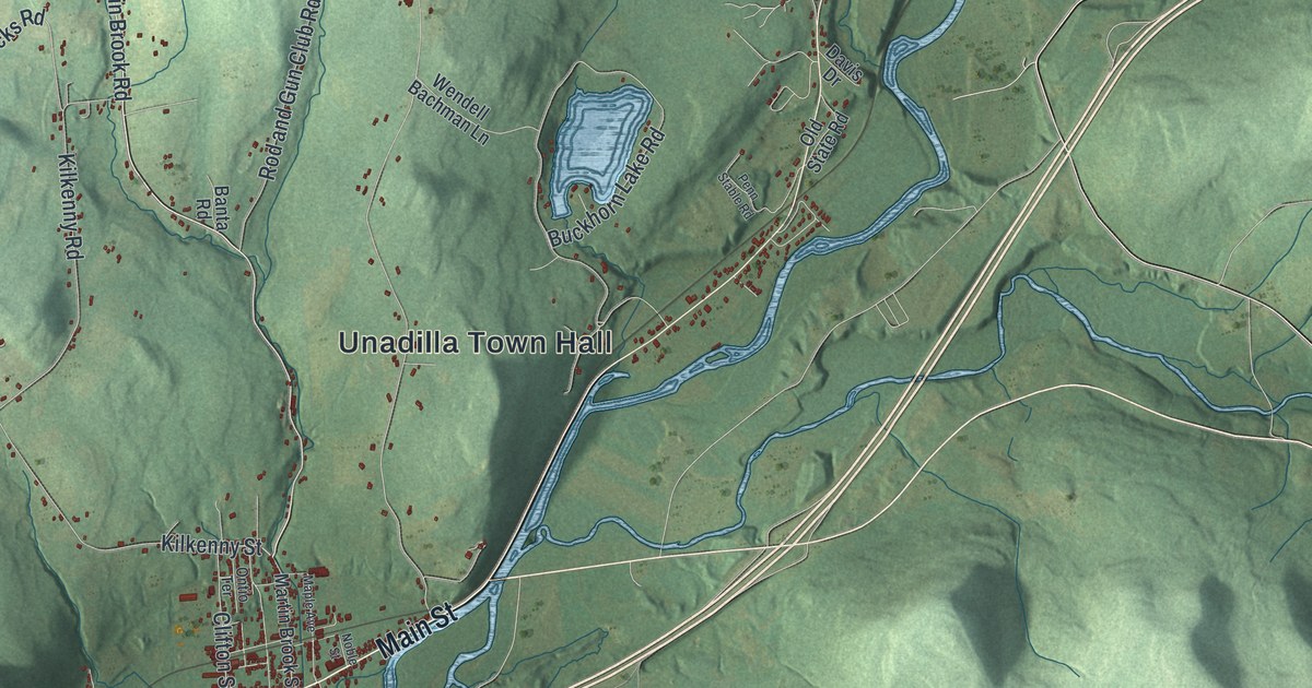
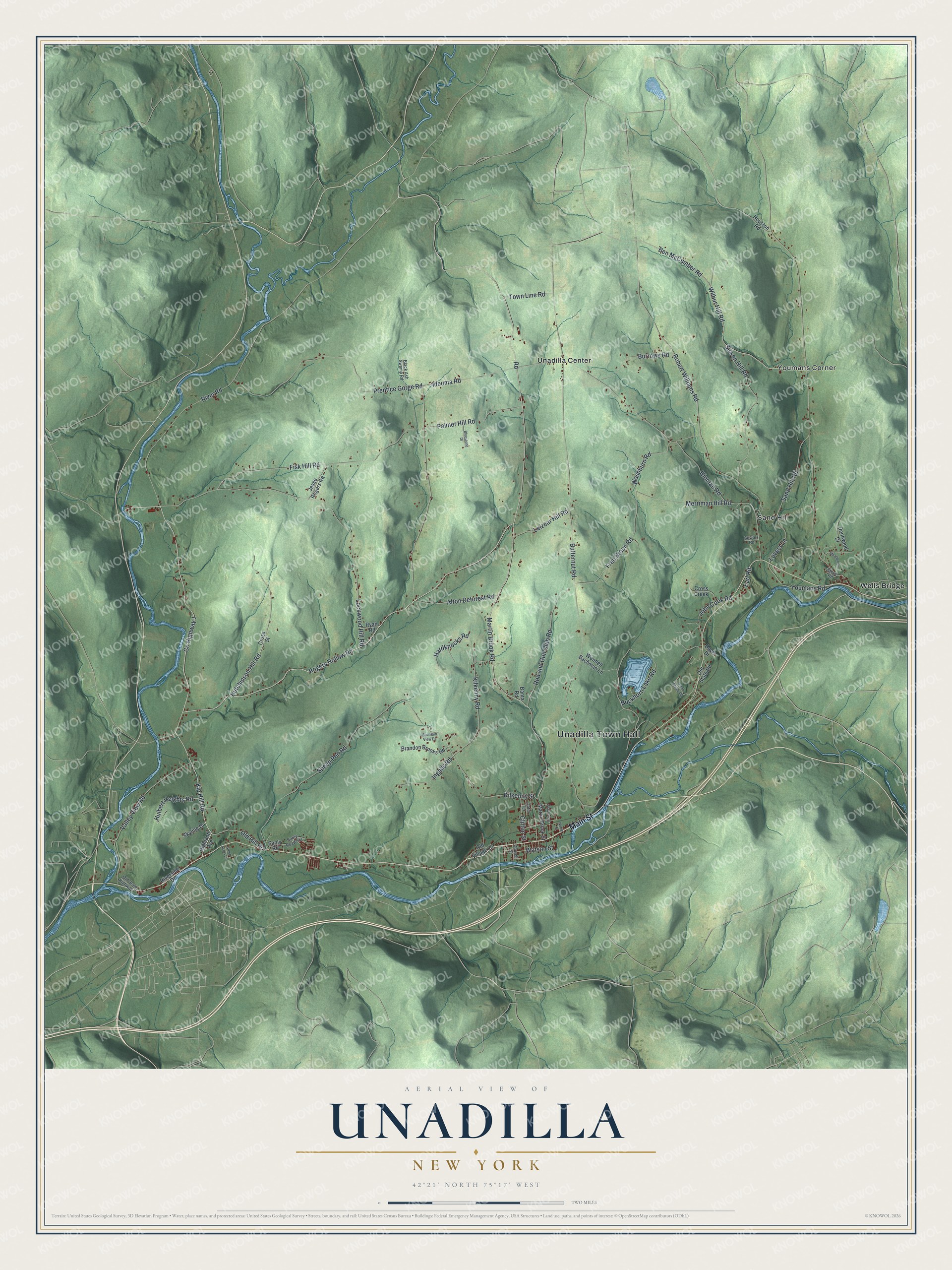
This beautifully detailed map of Unadilla, New York was created in 2026 using aerial imagery combined with modern topographical, census, street and landmark data. It’s a one-of-a-kind view of Unadilla that combines accurate data with a vintage aesthetic. The map shows every building in its true location, many of the roads carry their names, and the shaded topographic relief shows the shape of the land.
Explore an aerial view of Unadilla, New York
On the map you’ll find Unadilla Town Hall, Sand Hill, Unadilla Center, Wells Bridge, and Youmans Corner, along with Main Street, Rogers Hollow Road, Kilkenny Street, Ben McCumber Road, and more. If you look closely you can even find your house accurately drawn in its correct location. Zoom in on the preview to look for yours.
Did You Know?
Unadilla takes its name from an Iroquois word meaning meeting place. Settlers arrived soon after 1770. The settlement was destroyed during the American Revolution. It was rebuilt after the war, and the town was formed from Otsego in 1792.
Take a closer look at the Unadilla map
Names on this map
These names are printed on this map.
Places: Unadilla Town Hall, Sand Hill, Unadilla Center, Wells Bridge and Youmans Corner.
Streets and roads: Main Street, County Highway 1, Rogers Hollow Road, Kilkenny Street, Ben McCumber Road, Kip Hill Road, Wilbur Hill Road, Watson Street, Buckhorn Lake Road, Hulbert Heights Road, Butternut Road, River Road.
More street names, A to Z
Alton Deforest Road, Banta Road, Black Ash Swamp Road, Bluestone Drive, Brandon Brooks Road, Burrows Road, Church Street, Clifton Street, Cross Creek, Cross Street, Davis Drive, Dentwood Drive, Earl Road, Fisk Hill Road, Fred Braun Road, Green Acres Lane, Hardknocks Road, Highland Avenue, Hinman Road, Houston Road, Hutchinson Hill Road, Ideuma Road, Ingalls Road, Jesse Rogers Road, John Cook Road, Kilkenny Road, Leizear Hill Road, Lockwood Hill Road, Lovers Lane, Maple Avenue, Martin Brook Road, Martin Brook Street, Meadow Lane, Merriman Hill Road, Mountain View Drive, Noble Street, Old Hill Road, Old State Highway 7, Old State Road, Old Village Lane, Ontio Terrace, Palmer Hill Road, Penn Stable Road, Prentice Gorge Road, Riverside Drive, Road, Robert Williams Road, Rod and Gun Club Road, Ryan Road, Sand Hill Road, Sanly Road, Sanly Road Extension, Sheep Pen Road, Sisson Hill Road, Skyline Drive, Sowles Road, Steve Road, Town Line Road, Valley View Road, Washburn Road, Wendell Bachman Lane, Youmans Road.
See it on a wall
The Unadilla map as a framed print. Swipe for more.


This beautifully detailed map of Unadilla makes an attractive addition to your office, library, or den, and it can even be used to teach children the geography and history of the area. It also makes a great gift for anyone who grew up in Unadilla or moved away. When you’re done exploring, click here to get your copy of the Unadilla map.