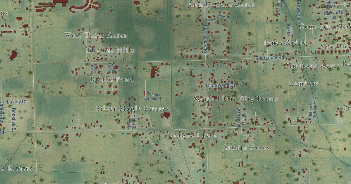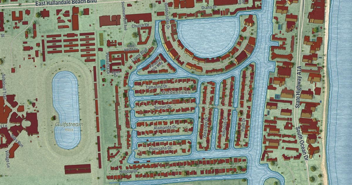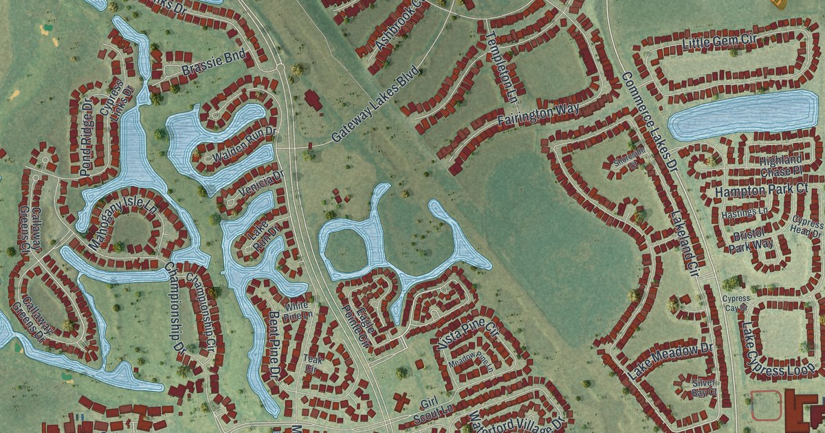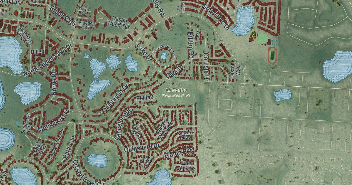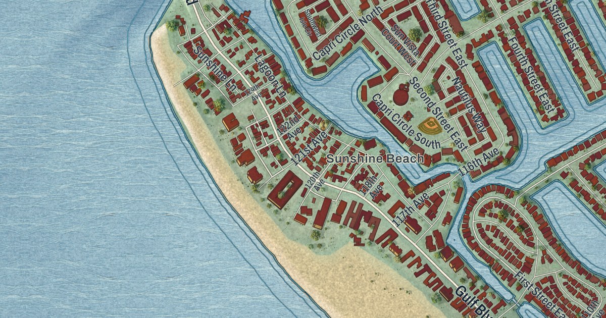
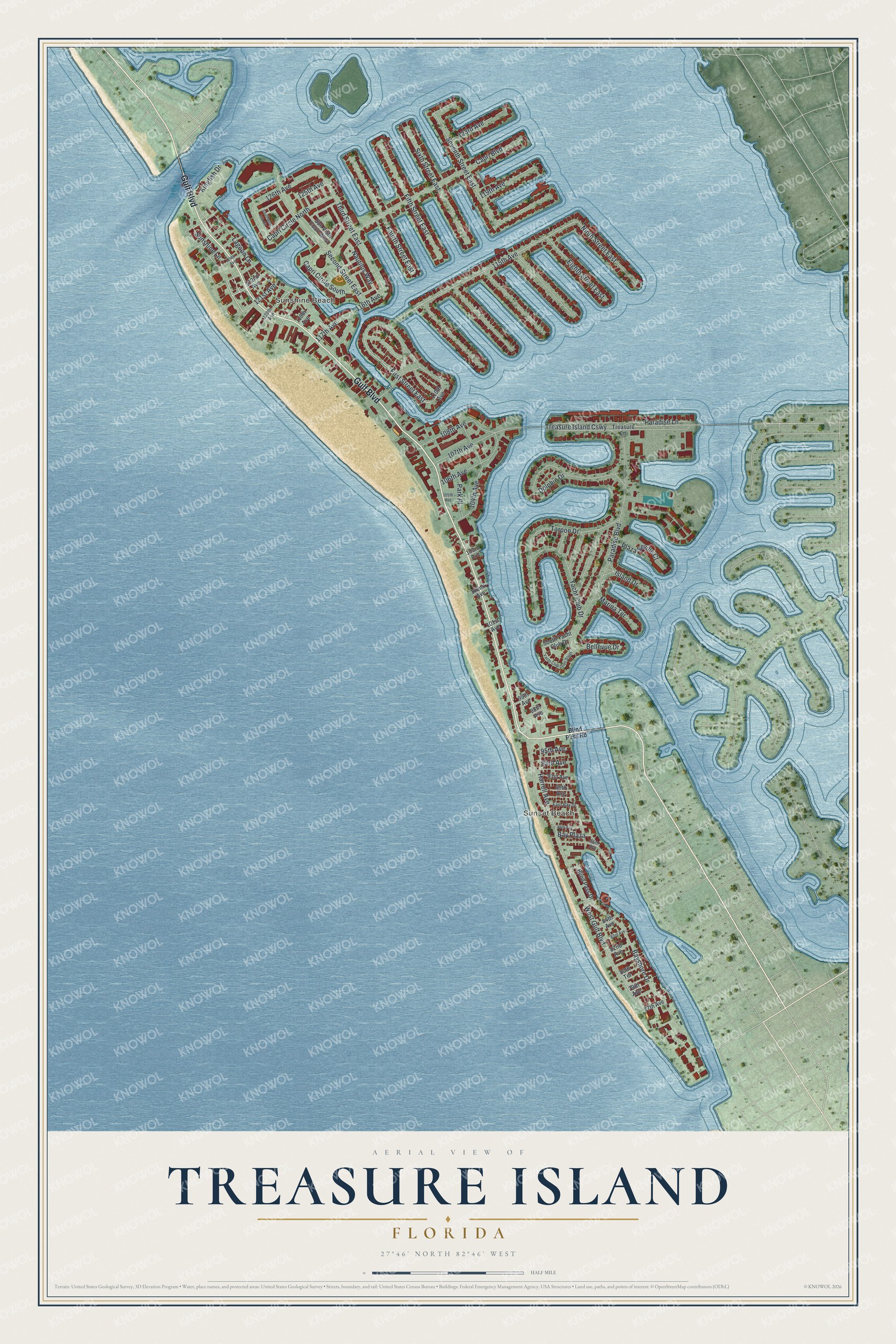
This beautifully detailed map of Treasure Island, Florida was created in 2026 using aerial imagery combined with modern topographical, census, street and landmark data. It’s a one-of-a-kind view of Treasure Island that combines accurate data with a vintage aesthetic. The map shows every building in its true location, many of the roads carry their names, and the shaded topographic relief shows the shape of the land.
Explore an aerial view of Treasure Island, Florida
On the map you’ll find Sunset Beach and Sunshine Beach, along with Gulf Boulevard, Blind Pass Road, First Street, Sunshine Lane, and more. If you look closely you can even find your house accurately drawn in its correct location. Zoom in on the preview to look for yours.
Did You Know?
Treasure Island got its name from a sales stunt around 1915. Property owners buried a pair of wooden chests in the sand, then pretended to dig them up. They claimed the chests were full of treasure. The story spread quickly, and the name stuck.
Take a closer look at the Treasure Island map
Names on this map
These names are printed on this map.
Places: Sunset Beach and Sunshine Beach.
Streets and roads: Gulf Boulevard, First Street East, Sunshine Lane, 119th Avenue, 126th Avenue, 115th Avenue, Treasure Island Causeway, Seventh Street East, West Gulf Boulevard, Third Street East, 125th Avenue, Fourth Street East.
More street names, A to Z
77th Avenue, 79th Avenue, 80th Terrace, 82nd Avenue, 83rd Avenue, 84th Avenue, 85th Avenue, 86th Avenue, 89th Avenue, 91st Avenue, 93rd Avenue, 95th Avenue, 98th Avenue, 99th Avenue, 101st Avenue, 102nd Avenue, 103rd Avenue, 104th Avenue, 105th Avenue, 106th Avenue, 107th Avenue, 108th Avenue, 110th Avenue, 116th Avenue, 117th Avenue, 118th Avenue, 120th Avenue, 121st Avenue, 122nd Avenue, 123rd Avenue, 124th Avenue, Bay Plaza, Bayshore Drive, Bellevue Drive, Blind Pass Drive, Blind Pass Road, Capri Boulevard, Capri Circle North, Capri Circle South, Dolphin Drive, East Bay Drive, Eighth Street East, Fifth Street East, Harrell Avenue, Island Drive, Kingfish Drive, Lagoon Lane, Marina Terrace, Nautilus Way, Ninth Street East, Paradise Boulevard, Paradise Lane, Park Place, Plaza Seville Court, Second Street East, Sixth Street East, Southwest Isle Circle, South Yacht Club Drive, Sun Vista Court West, Tarpon Drive, Treasure Lane, Yacht Club Drive, Yacht Club Drive South.
See it on a wall
The Treasure Island map as a framed print. Swipe for more.


This beautifully detailed map of Treasure Island makes an attractive addition to your office, library, or den, and it can even be used to teach children the geography and history of the area. It also makes a great gift for someone who left Treasure Island and still calls it home. When you’re done exploring, click here to get your copy of the Treasure Island map.