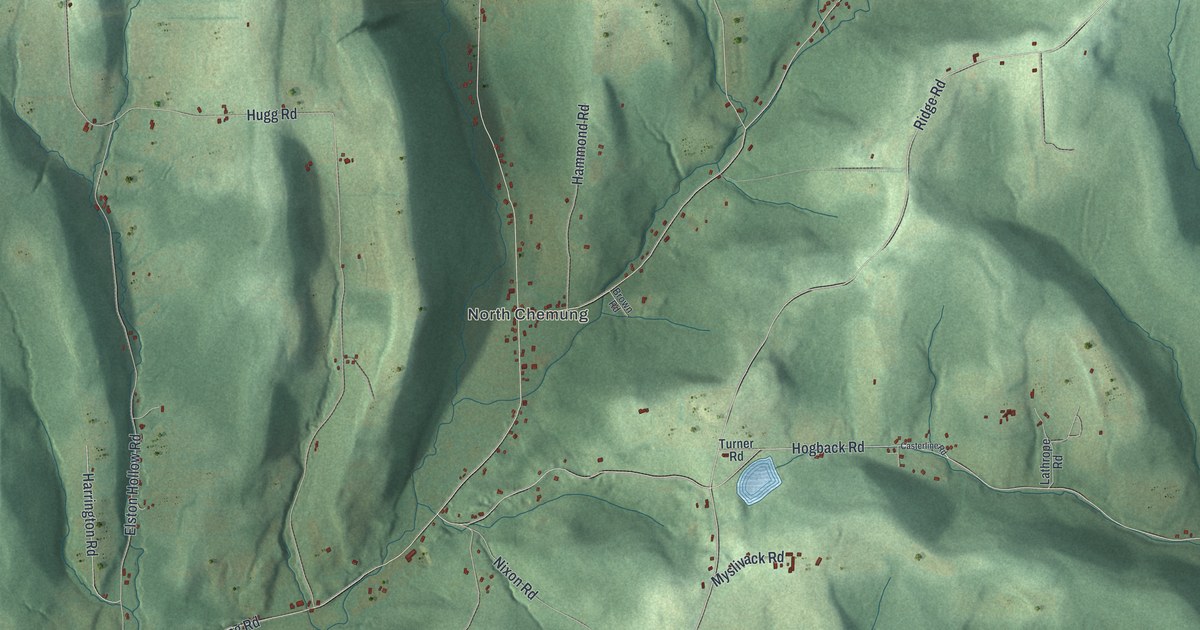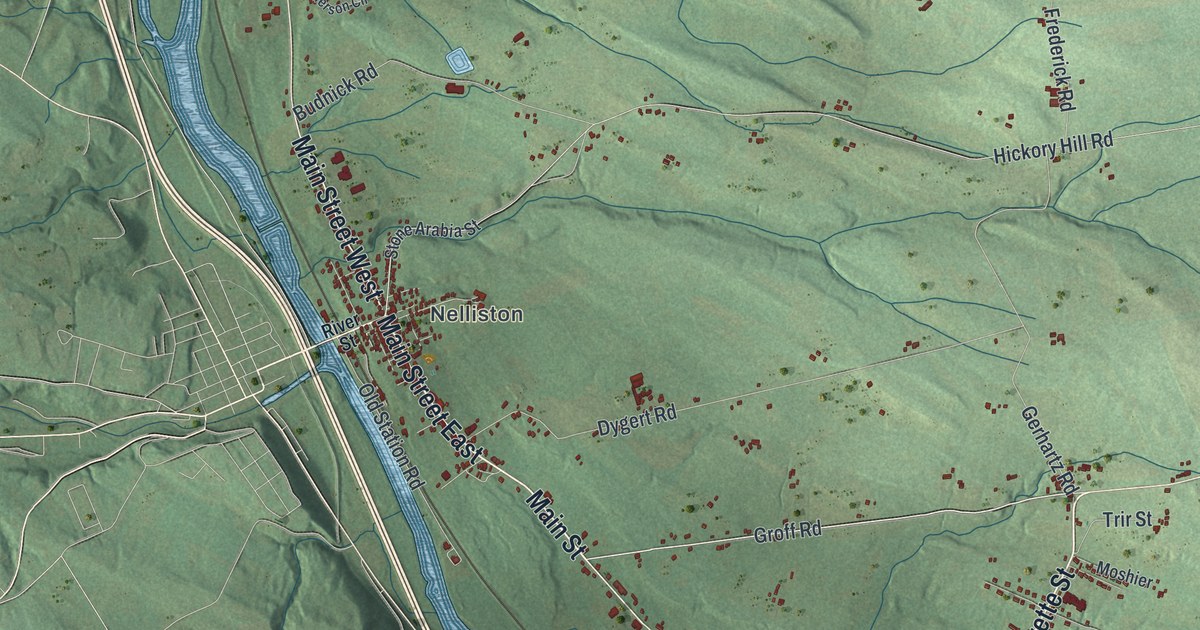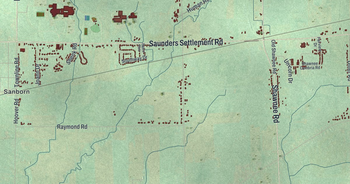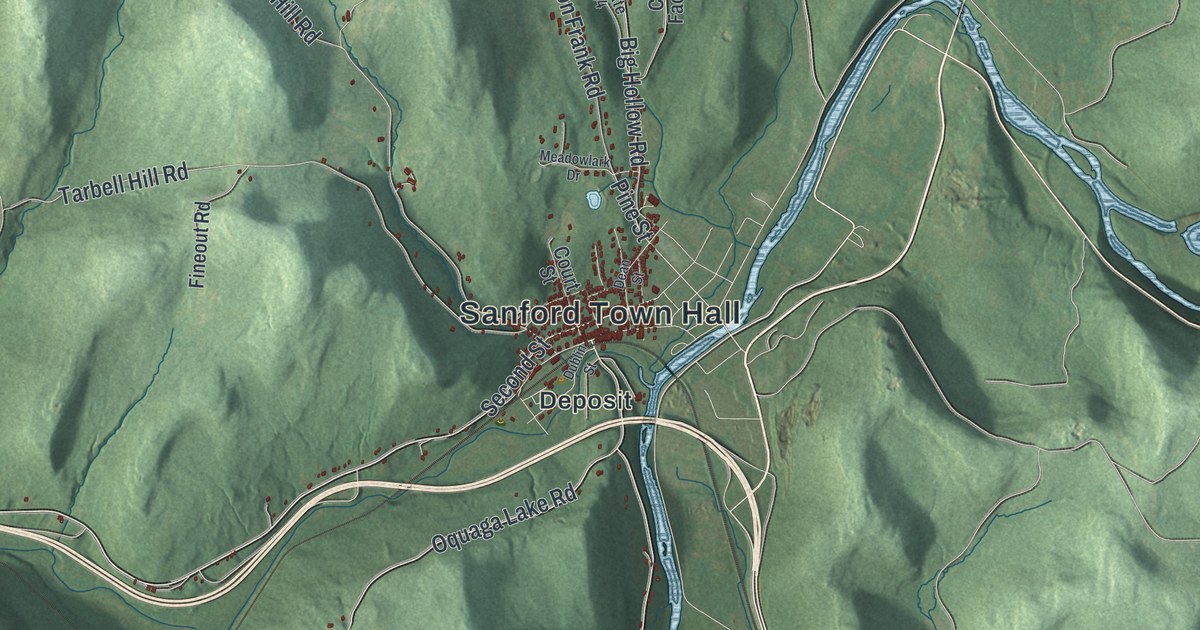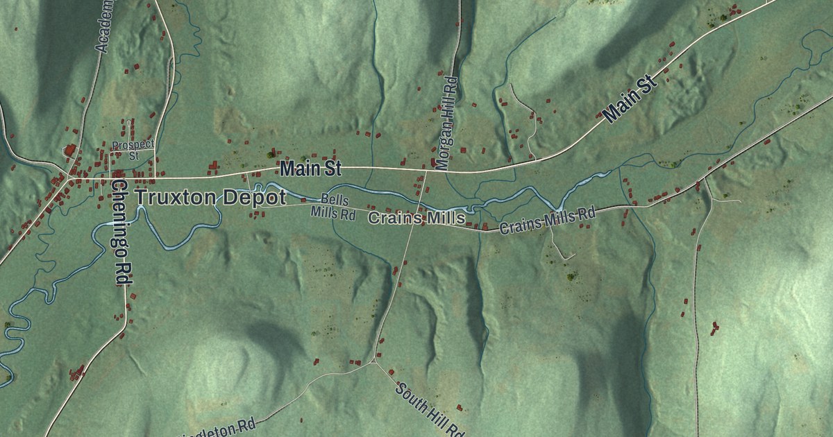
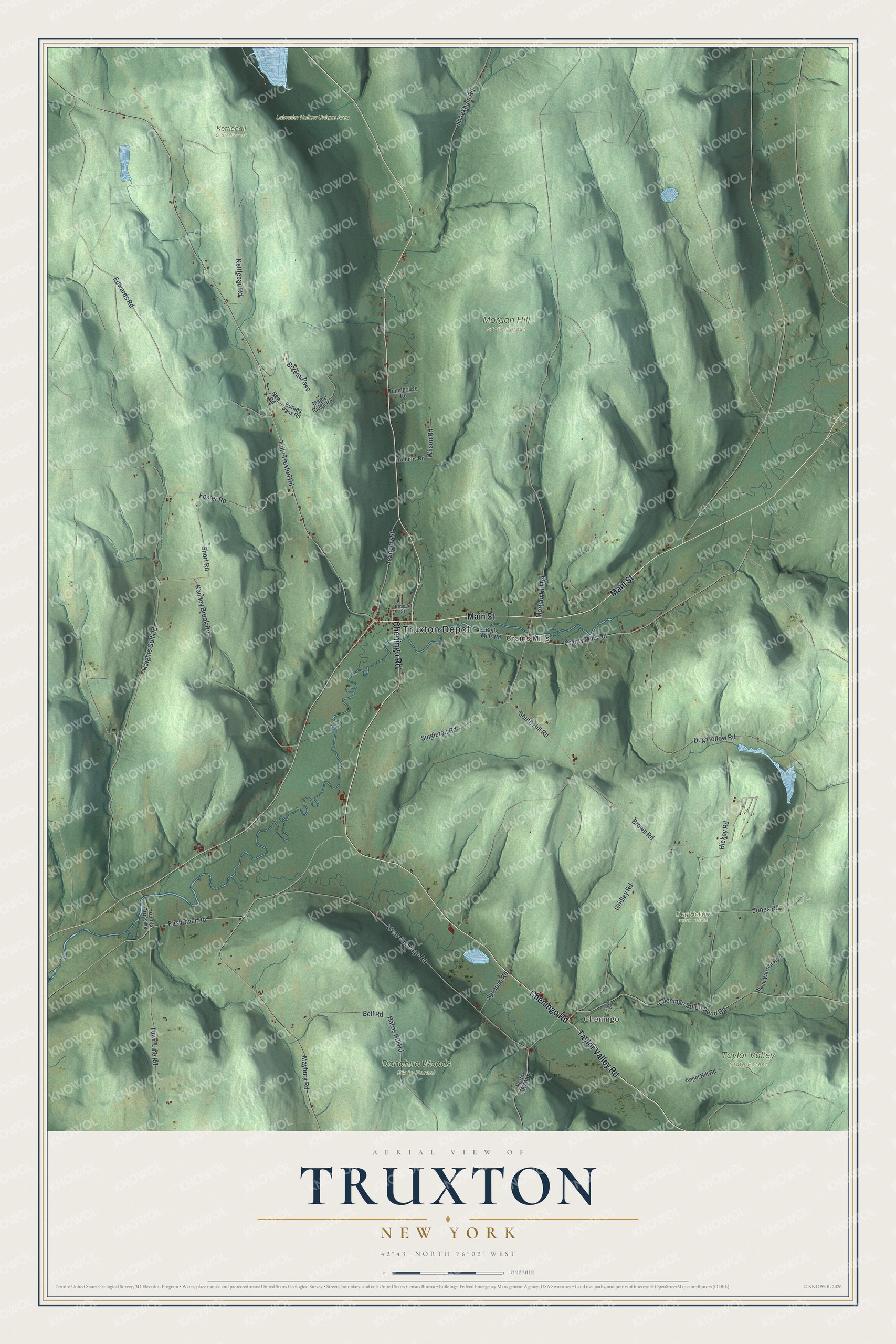
This beautifully detailed map of Truxton, New York was created in 2026 using aerial imagery combined with modern topographical, census, street and landmark data. It’s a one-of-a-kind view of Truxton that combines accurate data with a vintage aesthetic. The map shows every building in its true location, many of the roads carry their names, and the shaded topographic relief shows the shape of the land.
Explore an aerial view of Truxton, New York
On the map you’ll find Truxton Depot, Cheningo, Crains Mills, Dog Hollow State Forest, Donahue Woods State Forest, Kettlebail State Forest, and Morgan Hill State Forest, along with Main Street, Cheningo Road, Tully Truxton Road, Edwards Road, and more. If you look closely you can even find your house accurately drawn in its correct location. Zoom in on the preview to look for yours.
Did You Know?
Truxton was the birthplace of John J. McGraw, the baseball manager called the Little Napoleon. He left farm life at seventeen to play ball. McGraw took over the New York Giants in 1902 and led them until 1932. His teams won ten National League pennants and three world championships. That’s from the 1940 WPA guide to New York.
Take a closer look at the Truxton map
Names on this map
These names are printed on this map.
Places: Truxton Depot, Cheningo, Crains Mills, Dog Hollow State Forest, Donahue Woods State Forest, Kettlebail State Forest, Labrador Hollow Unique Area, Morgan Hill State Forest and Taylor Valley State Forest.
Streets and roads: Taylor Valley Road, Main Street, Cheningo Road, Tully Truxton Road, Edwards Road, Shackham Road, Harris Hill Road, West Cheningo Road, Brown Road, Morgan Hill Road, Haights Gulf Road, Kenney Brook Road.
More street names, A to Z
Academy Street, Angel Hill Road, Angel Road, Bell Road, Bells Mills Road, Black Warrior Road, Boreas Pass, Boreas Pass Road, Cheningo Solon Pond Road, Crains Mills Road, Dog Hollow Road, East River Road, Foster Road, Gridley Road, Hickey Road, Jones Road, Kettlebail Road, Maple Ridge Road, Maybury Road, New Road, North Tower Road, Prospect Street, Pumphouse Road, Robbins Road, Short Road, Singleton Road, South Hill Road, Sprouse Road, Town Line Road, Wilson Road, Youngs Crossing.
See it on a wall
The Truxton map as a framed print. Swipe for more.


This beautifully detailed map of Truxton makes an attractive addition to your office, library, or den, and it can even be used to teach children the geography and history of the area. It also makes a great gift for anyone with Truxton roots. When you’re done exploring, click here to get your copy of the Truxton map.