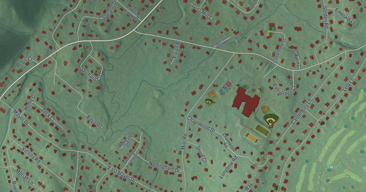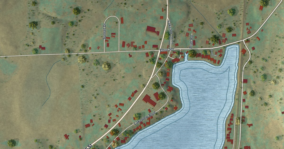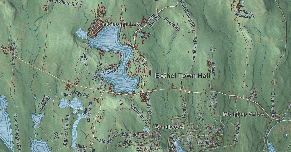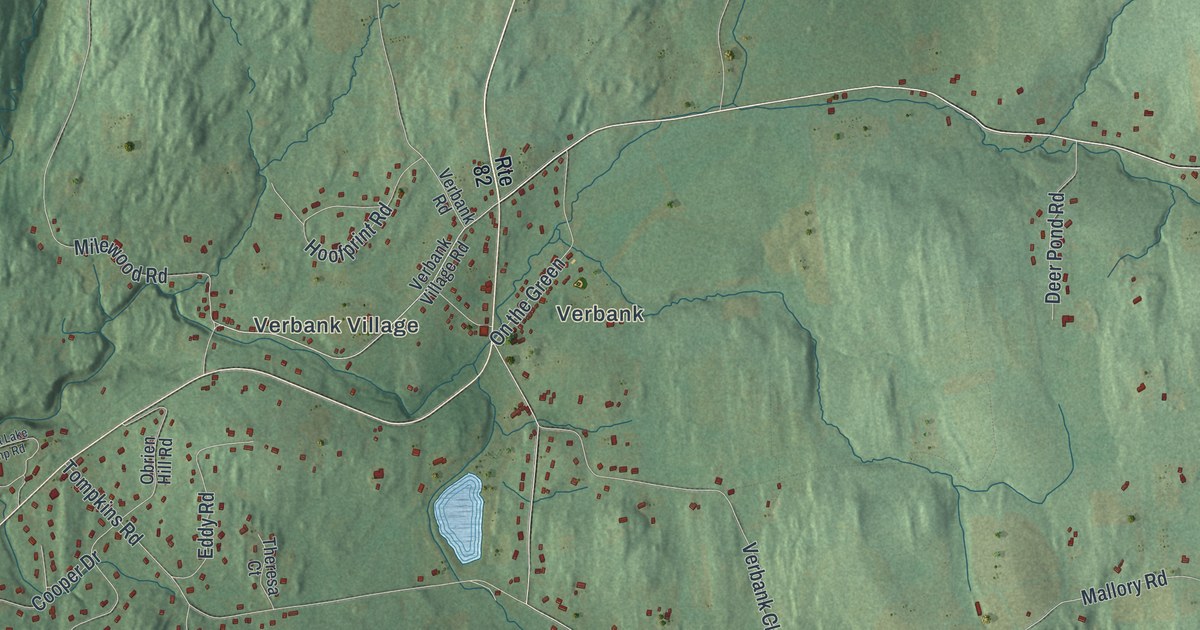
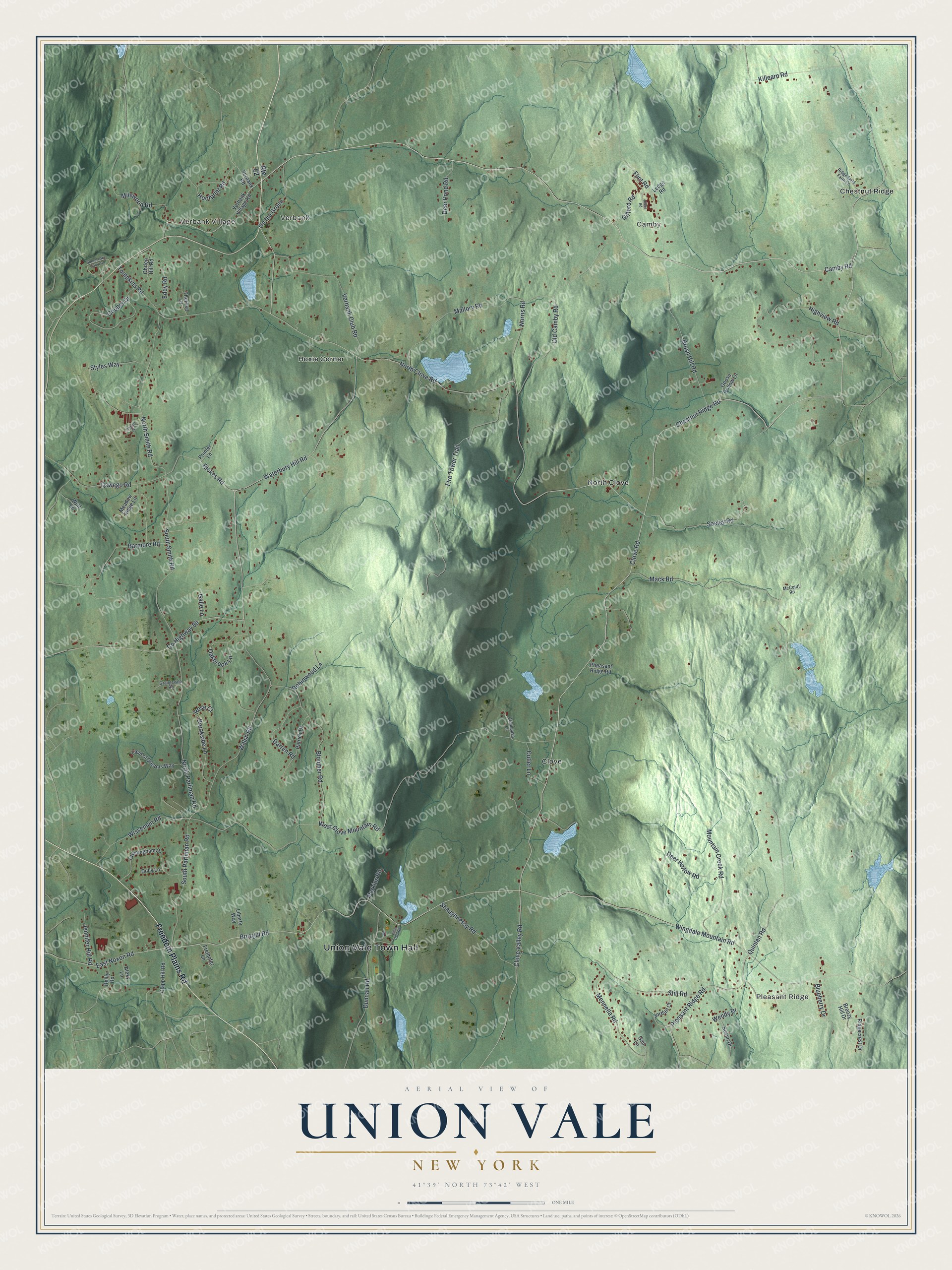
This beautifully detailed map of Union Vale, New York was created in 2026 using aerial imagery combined with modern topographical, census, street and landmark data. It’s a one-of-a-kind view of Union Vale that combines accurate data with a vintage aesthetic. The map shows every building in its true location, many of the roads carry their names, and the shaded topographic relief shows the shape of the land.
Explore an aerial view of Union Vale, New York
On the map you’ll find Union Vale Town Hall, Pleasant Ridge, Verbank Village, Verbank, Camby, and Chestnut Ridge, along with Freedom Plains Road, Camby Road, Chestnut Ridge Road, Clove Road, and more. If you look closely you can even find your house accurately drawn in its correct location. Zoom in on the preview to look for yours.
Take a closer look at the Union Vale map
Names on this map
These names are printed on this map.
Places: Union Vale Town Hall, Pleasant Ridge, Verbank Village, Verbank, Camby, Chestnut Ridge, Clove, Hoxie Corner and North Clove.
Streets and roads: Freedom Plains Road, Camby Road, Chestnut Ridge Road, Clove Road, Wingdale Mountain Road, Bruzgul Road, East Noxon Road, North Parliman Road, South Smith Road, Waterbury Hill Road, Blueberry Drive, North Clove Road.
More street names, A to Z
Airport Drive, Alexy Lane, Barmore Road, Bloomer Road, Breezy Hill Drive, Brookside Lane, Brush Hill Road, Clapp Hill Road, Clove Valley Road, Clubhouse Lane, Cooper Drive, County Highway 89, Cunningham Drive, Cutler Lane, Darren Road, Deer Hollow Road, Deer Pond Road, Dolly Lane, Duncan Road, Eddy Road, Field of Dreams Way, Fire Tower Trail, Flint Road, Freihofer Lane, Gail Lane, Galle Lane, Gifford Road, Goose Hollow Lane, Grangevale Road, Hibbs Road, Highview Road, Hoofprint Road, Jennifer Hill Road, Jordan Court, Killearn Road, Ledge Road, Liberty Way, Mack Road, Mallory Road, McCourt Road, Meadow Ridge Lane, Mennella Road, Milewood Road, Mountain Creek Road, Norris Road, North Smith Road, Oakbrook Lane, Obrien Hill Road, Old Camby Road, On the Green, Oswego Road, Patrick Drive, Perkins Road, Pheasant Ridge Road, Pleasant Ridge Road, Pointer Lane, Quinlan Road, Reilly Road, Rickes Road, Ridgecrest Drive, Ridge Field Farm Lane, Robinwood Lane, Rose Court, Route 82, Seeley Road, Shaughnessy Road, South Parliman Road, Sprout Lake Camp Road, Still Road, Styles Way, Susan Drive, Theresa Court, Tompkins Road, Tymor Park Road, Verbank Club Road, Verbank Road, Verbank Village Road, Walsh Road, Wendy Drive, West Clove Mountain Road, Wisseman Road, Wolf Lane.
See it on a wall
The Union Vale map as a framed print. Swipe for more.


This beautifully detailed map of Union Vale makes an attractive addition to your office, library, or den, and it can even be used to teach children the geography and history of the area. It also makes a great gift for anyone with Union Vale roots. When you’re done exploring, click here to get your copy of the Union Vale map.