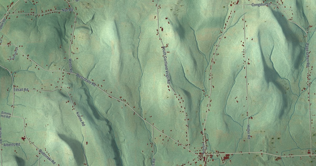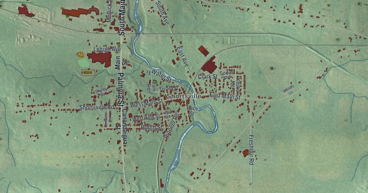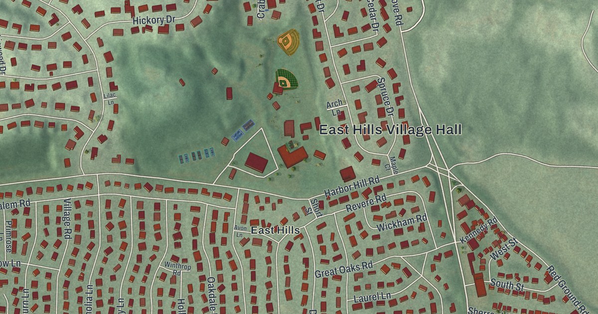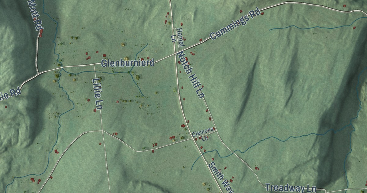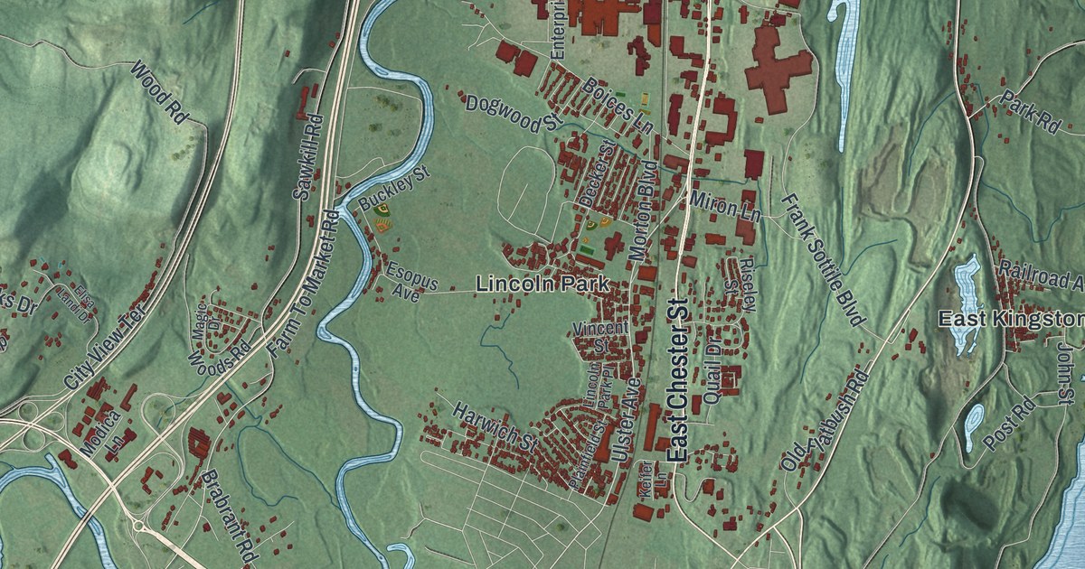
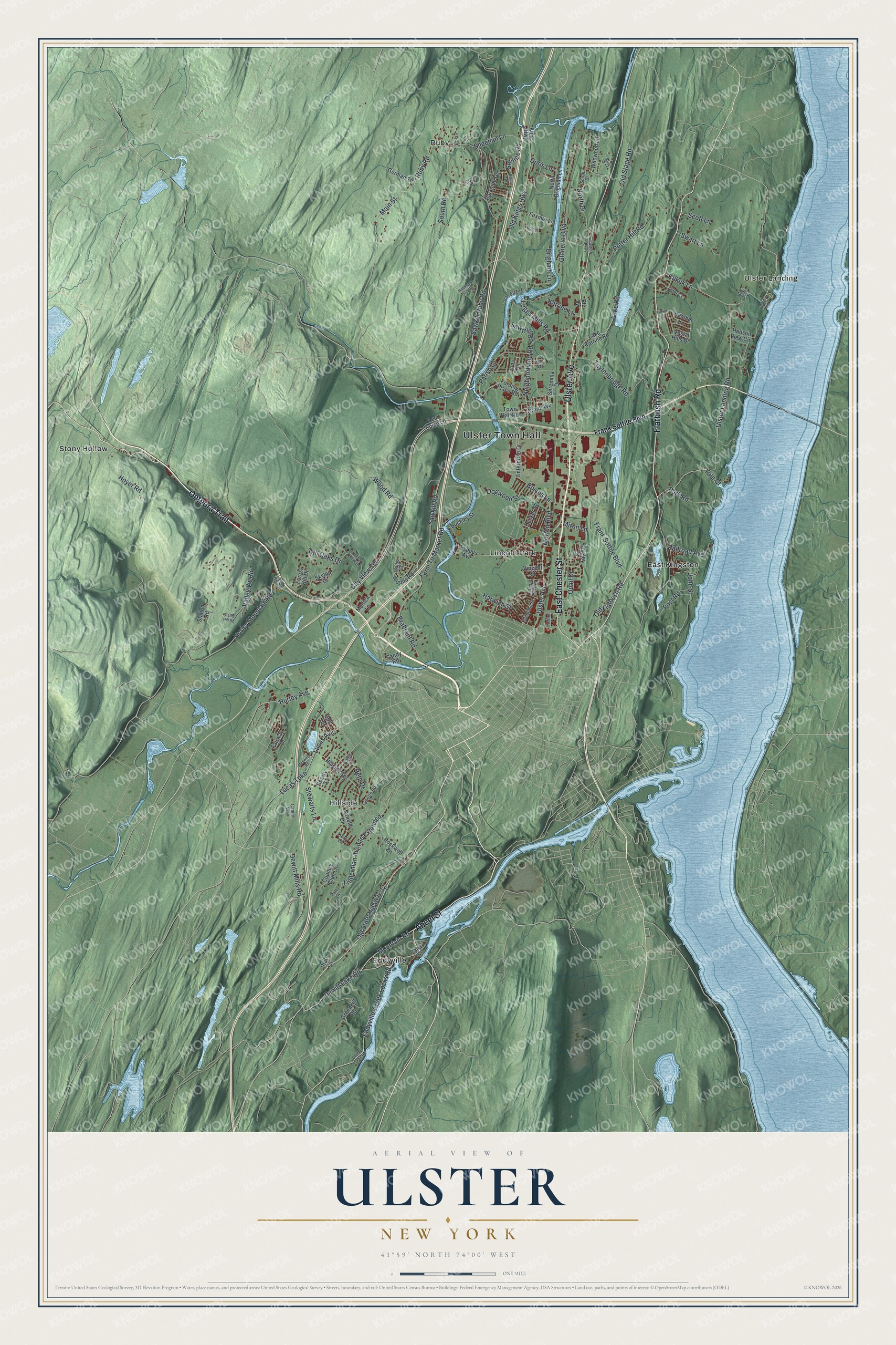
This beautifully detailed map of Ulster, New York was created in 2026 using aerial imagery combined with modern topographical, census, street and landmark data. It’s a one-of-a-kind view of Ulster that combines accurate data with a vintage aesthetic. The map shows every building in its true location, many of the roads carry their names, and the shaded topographic relief shows the shape of the land.
Explore an aerial view of Ulster, New York
On the map you’ll find Ulster Town Hall, East Kingston, Eddyville, Hillside, Lincoln Park, and Ruby, along with Abeel Street, Chester Street, Ulster Avenue, Flatbush Road, and more. If you look closely you can even find your house accurately drawn in its correct location. Zoom in on the preview to look for yours.
Did You Know?
For most of its history the town of Ulster was quiet farm country. That changed after World War II, when IBM opened its Kingston plant here. New housing tracts, schools and businesses followed quickly. Today the town is known as the business hub of Ulster County.
Take a closer look at the Ulster map
Names on this map
These names are printed on this map.
Places: Ulster Town Hall, East Kingston, Eddyville, Hillside, Lincoln Park, Ruby, Stony Hollow and Ulster Landing.
Streets and roads: Abeel Street, East Chester Street, Ulster Avenue, Flatbush Road, Onteora Trail, Eddyville-Creek Locks Road, Mountain Road, Sawkill Ruby Road, Old Kings Highway, Beth Drive, Neighborhood Road, Sheehan Lane.
More street names, A to Z
Alder Court, Arnold Drive, Beach Road, Bogert Lane, Boices Lane, Brabrant Road, Brigham Lane, Buckley Street, Canal Street, Canimi Way, City View Terrace, Country Club Lane, Creek Locks Road, Cross Road, Decker Street, Dewitt Lake Road, Dewitt Mills Road, Dogwood Street, Doris Lane, Eastern Parkway, Elisa Landi Drive, Enterprise Drive, Esopus Avenue, Esther Place, Fairway Drive, Farm To Market Road, Fording Place Road, Forest Hill Drive, Foxmor Lane, Frank Sottile Boulevard, Gallis Hill Road, German Street, Glenerie Boulevard, Golf Terrace, Grant Avenue, Greenkill Road, Hallihans Hill Road, Harwich Street, Heather Lane, Hillside Terrace, Hoyer Road, Hudson View Circle, Hurley Avenue, Hurley Mountain Road, John Street, Katrine Lane, Keifer Lane, Kerry Lane, Kings Highway, Kukuk Lane, Lake Katrine Road, Lake Road, Leggs Mills Road, Lem Boice Lane, Lena Lane, Lincoln Park Place, Linderman Avenue Extended, Links Lane, Lucas Avenue, Lucas Turnpike, Lynette Road, Magic Drive, Main Street, Mary Avenue, Maxwell Road, Miron Lane, Modica Lane, Morton Boulevard, North Brigham Lane, North Drive, Oak Lane, Old Flatbush Road, Old Route 28, Old Stage Road, Old State Highway 32, Parish Lane, Park Road, Parkside Drive, Plainfield Street, Platt Lane, Post Road, Potter Hill Road, Putt Lane, Quail Drive, Railroad Avenue, Riseley Street, Robin Lane, Rockwell Lane, Ruby Road, Sandy Road, Sawkill Road, Sawmill Road, Scott Lane, Seremma Drive, Service Road, Sherry Lane, Skytop Drive, South Drive, South Road, Station Road, Stewarts Lane, Swart Lane, Tall Oaks Drive, Terra Road, Town Hall Road, Tuytenbridge Road, Ulster Landing Road, Valley Vw Road, Van Etten Lane, Vans Terrace, Vestal Hills Drive, Vincent Street, Wildwood Lane, Wood Road, Woods Road, Yale Court.
See it on a wall
The Ulster map as a framed print. Swipe for more.


This beautifully detailed map of Ulster makes an attractive addition to your office, library, or den, and it can even be used to teach children the geography and history of the area. It also makes a great gift for anyone who grew up in Ulster or moved away. When you’re done exploring, click here to get your copy of the Ulster map.