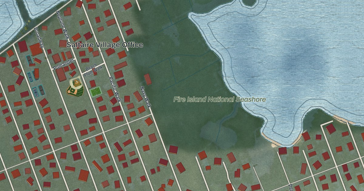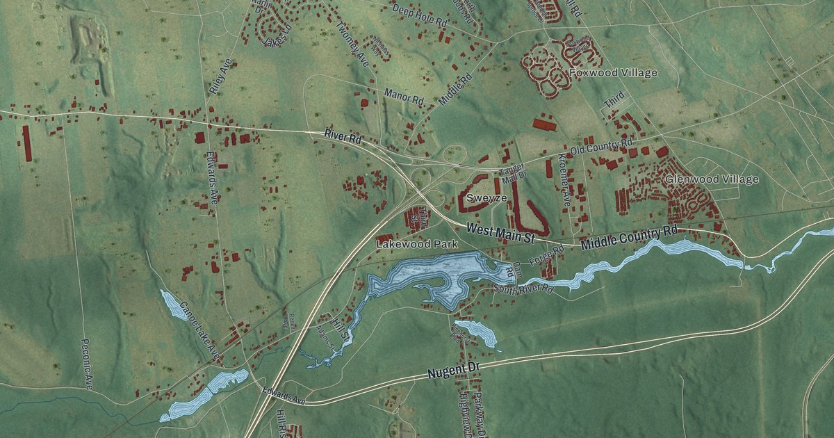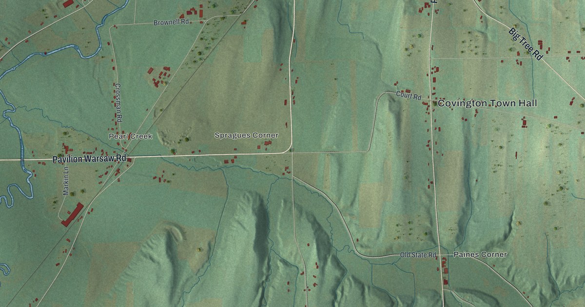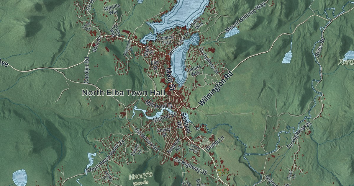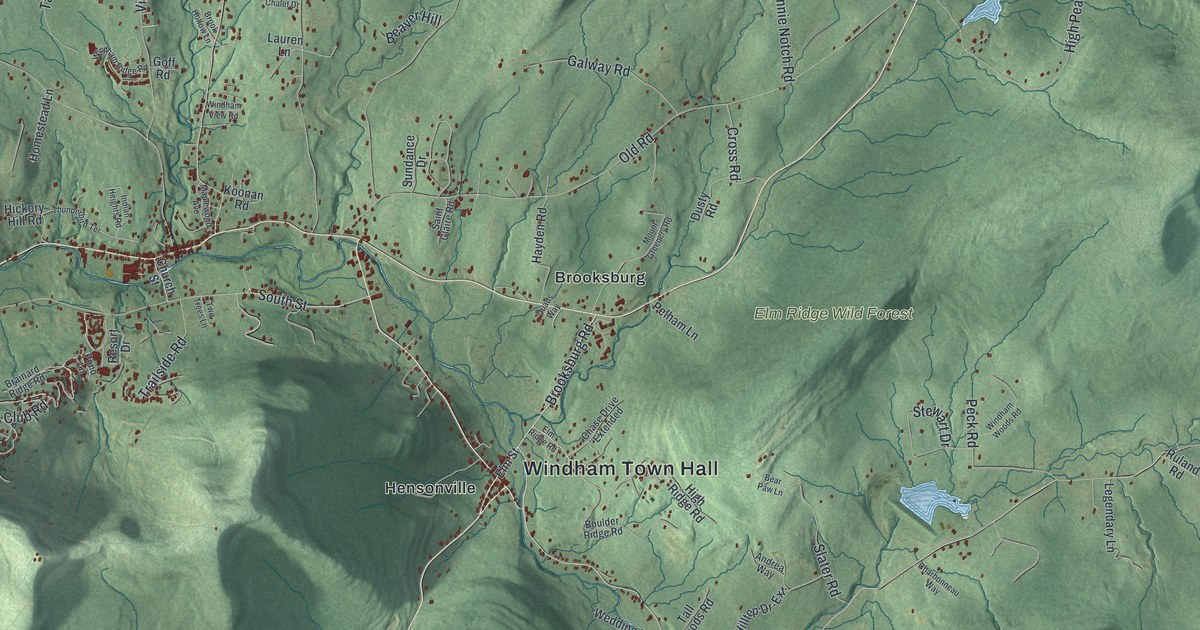
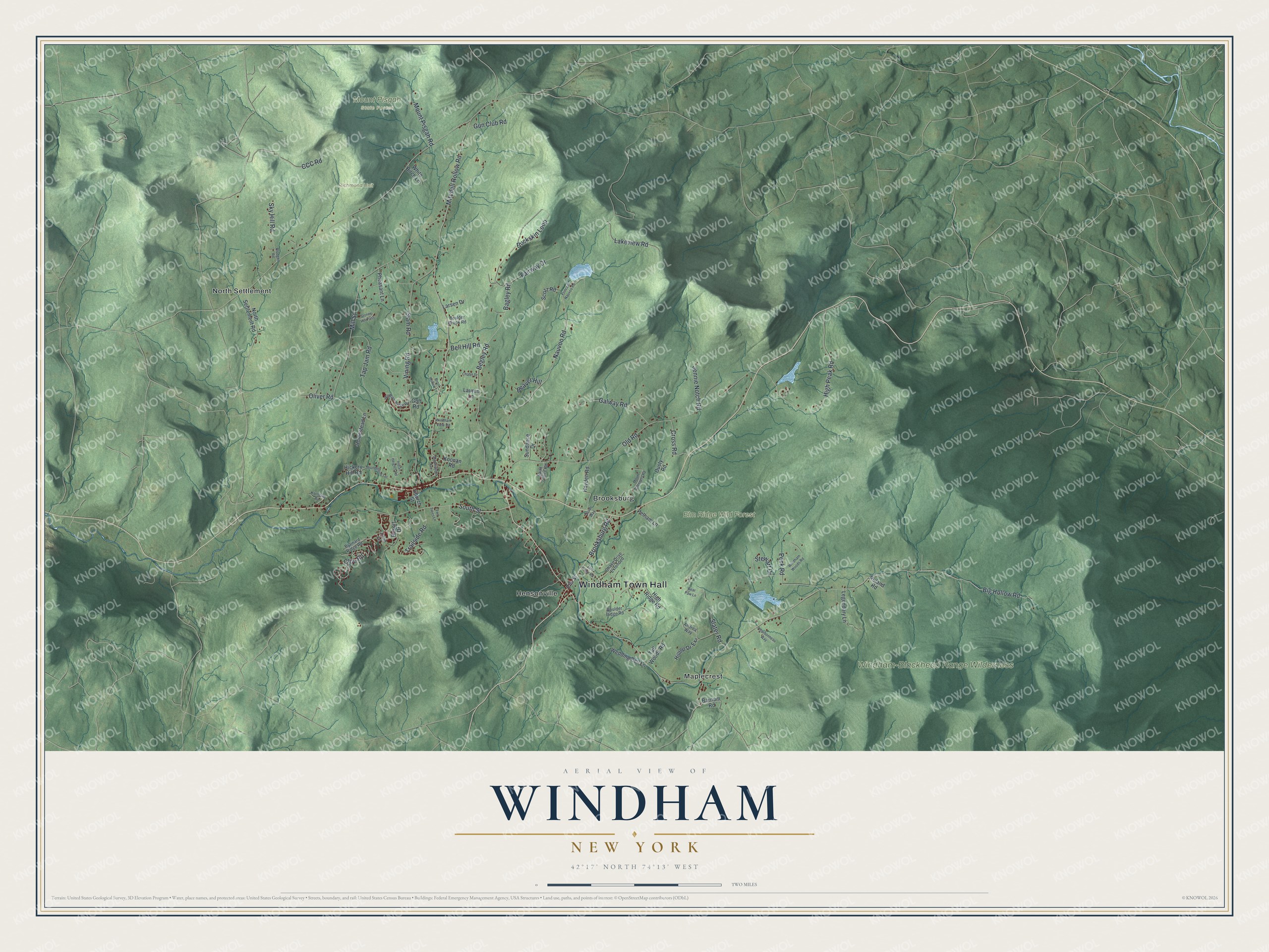
This beautifully detailed map of Windham, New York was created in 2026 using aerial imagery combined with modern topographical, census, street and landmark data. It’s a one-of-a-kind view of Windham that combines accurate data with a vintage aesthetic. The map shows every building in its true location, many of the roads carry their names, and the shaded topographic relief shows the shape of the land.
Explore an aerial view of Windham, New York
On the map you’ll find Windham Town Hall, Brooksburg, Hensonville, Maplecrest, North Settlement, Elm Ridge Wild Forest, and Mount Pisgah State Forest, along with Brooksburg Road, Club Road, Bagley Road, Big Hollow Road, and more. If you look closely you can even find your house accurately drawn in its correct location. Zoom in on the preview to look for yours.
Did You Know?
Windham was first settled around 1780 and became its own town in 1798, split off from Woodstock. In August 2010, Windham hosted the World Cup Mountain Bike Race finals. It was the first time in 20 years the finals came to American soil. The town hosted the race again in 2014.
Take a closer look at the Windham map
Names on this map
These names are printed on this map.
Places: Windham Town Hall, Elm Ridge Wild Forest, Mount Pisgah State Forest, Richmond Unit, Windham-Blackhead Range Wilderness, Brooksburg, Hensonville, Maplecrest and North Settlement.
Streets and roads: Brooksburg Road, Club Road, Bagley Road, Big Hollow Road, South Street, Mitchell Hollow Road, Mill Street, Old Road, Nauvoo Road, Begley Road, High Peak Road, Siam Road.
More street names, A to Z
Andrea Way, Barnum Road, Bear Paw Lane, Beaver Hill, Bell Hill Road, Blodgett Road, Boulder Brook Road, Boulder Ridge Road, Brainard Ridge Road, Brook Hollow Lane, Buckskin Loop, CCC Road, Chalet Drive, Charbonneau Way, Chase Drive Extended, Church Street, Cross Road, Dusty Road, Elm Ridge Road, Elm Street, Fairway Drive, Galway Road, Goff Road, Gun Club Road, Hayden Road, Hickory Hill Road, High Ridge Road, Hilltop Dr-Ext, Homestead Lane, Indian Heights Road, Jennie Notch Road, Karlstadt Road, Koonan Road, Lakeview Road, Larsen Drive, Lauren Lane, Legendary Lane, Maplewood Avenue, Mount Greenery Road, Mount Pisgah Road, North Settlement Road, Oliver Road, Peck Road, Pelham Lane, Pheasant Lane, Pond Lane, Princess Nauvoo Road, Quads Way, Resort Drive, Ruland Road, Saint Claire Road, Scozz Road, Sky Hill Road, Slater Road, Stewart Drive, Stoney Hill Pass, Sundance Drive, Tall Woods Road, Tap Jam Road, Thunderbird Terrace, Trailside Road, Two Trees Lane, Vining Road, Wedding Bell Lane, White Birch Lane, Windham Ridge Road, Windham View Road, Windham Woods Road.
See it on a wall
The Windham map as a framed print. Swipe for more.


This beautifully detailed map of Windham makes an attractive addition to your office, library, or den, and it can even be used to teach children the geography and history of the area. It also makes a great gift for anyone with Windham roots. When you’re done exploring, click here to get your copy of the Windham map.