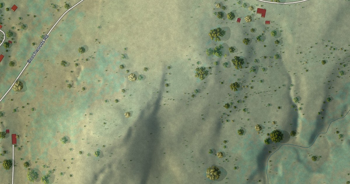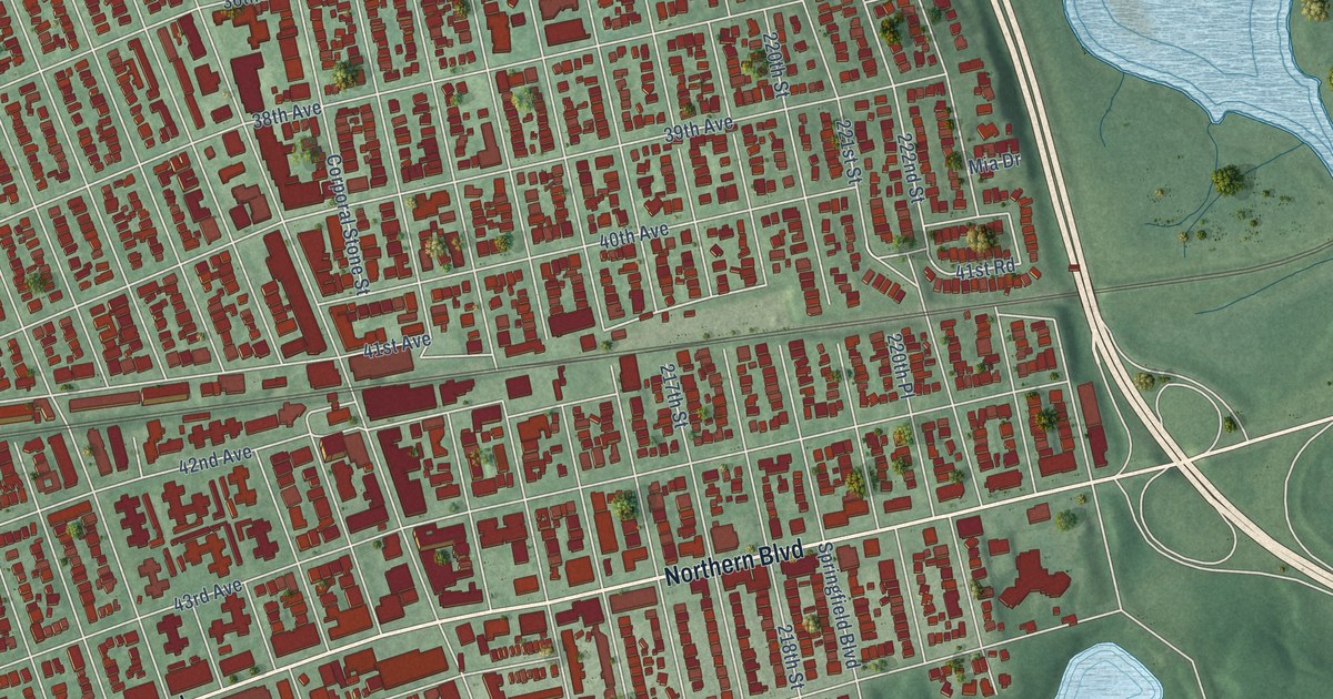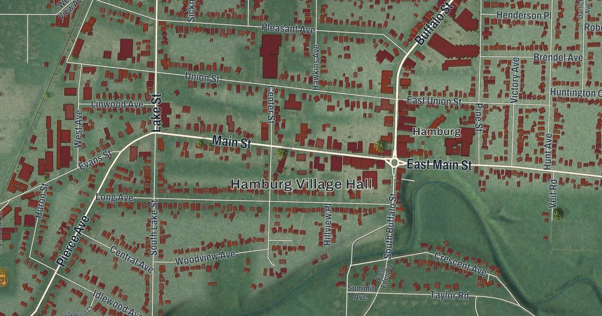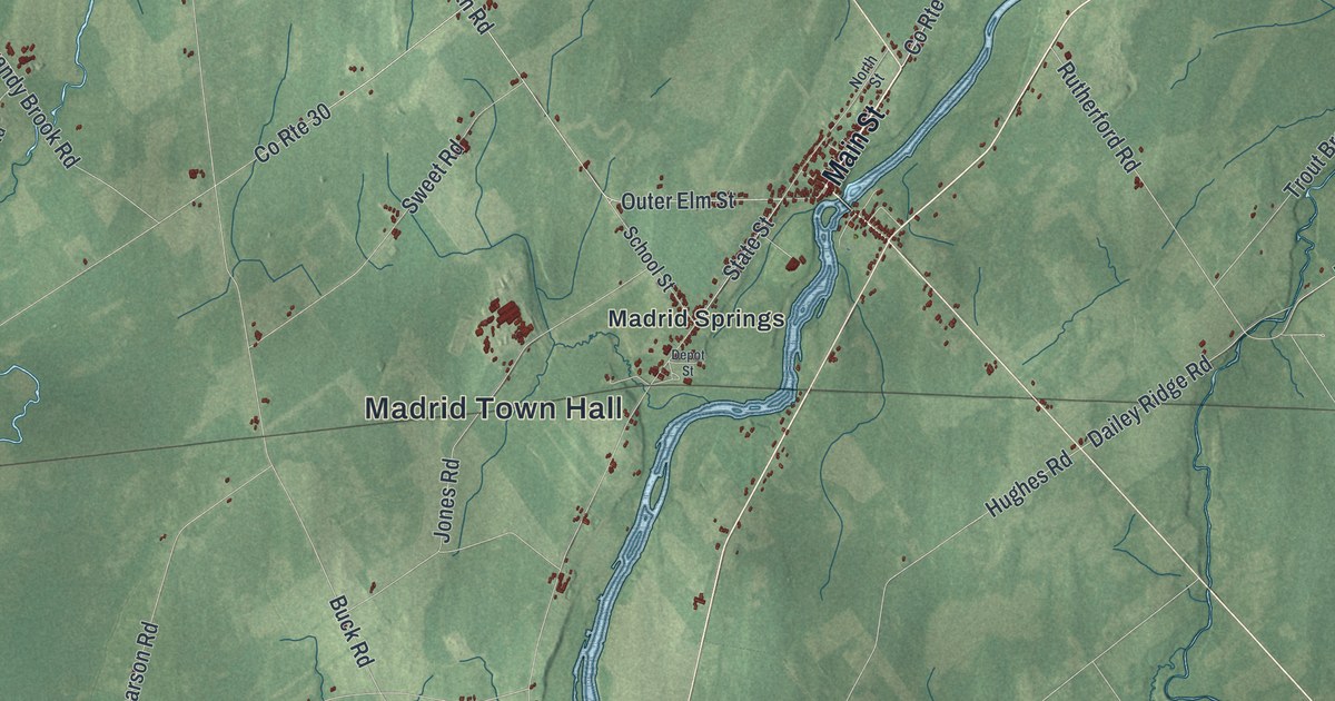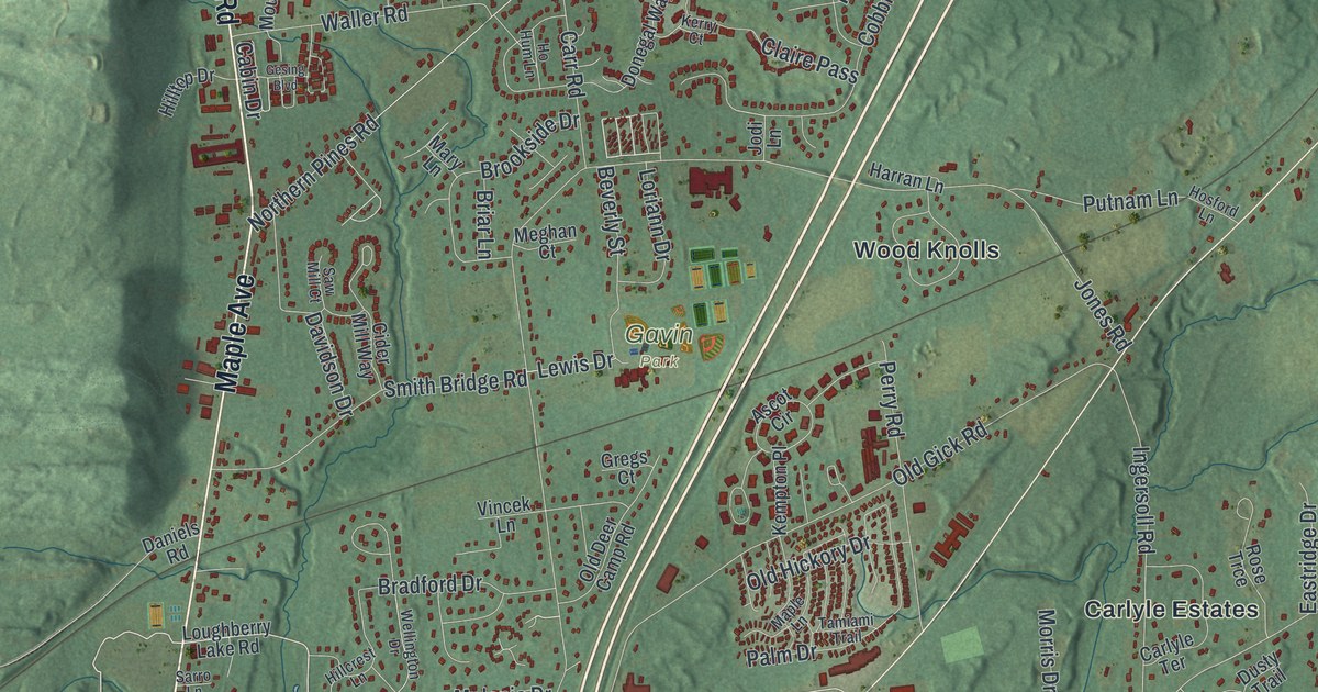
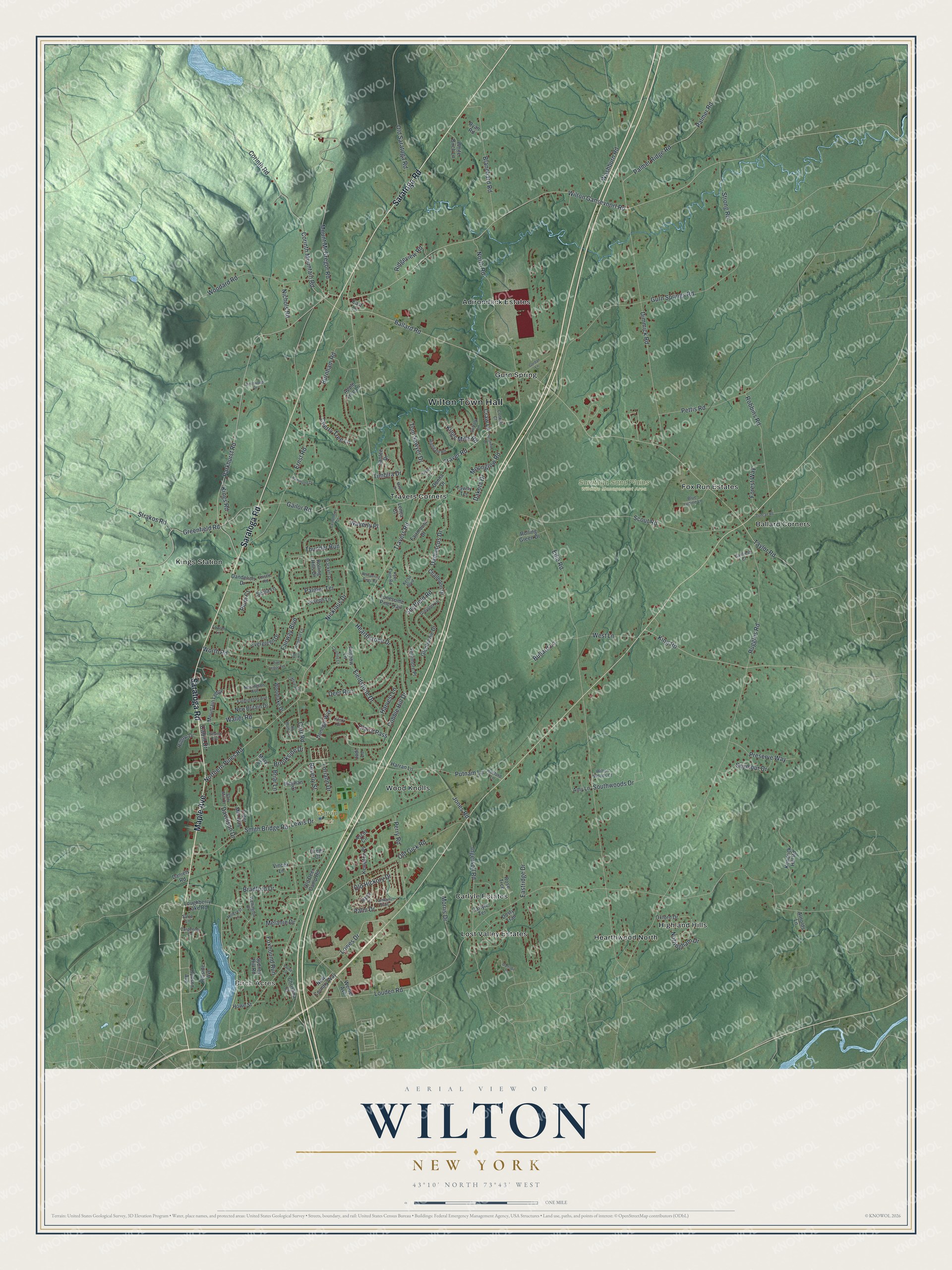
This beautifully detailed map of Wilton, New York was created in 2026 using aerial imagery combined with modern topographical, census, street and landmark data. It’s a one-of-a-kind view of Wilton that combines accurate data with a vintage aesthetic. The map shows every building in its true location, many of the roads carry their names, and the shaded topographic relief shows the shape of the land.
Explore an aerial view of Wilton, New York
On the map you’ll find Wilton Town Hall, Birch Acres, Ballard Corners, Gurn Spring, Hearthwood North, Highland Hills, Gavin Park, and Saratoga Sand Plains Wildlife Management Area, along with Saratoga Road, Maple Avenue, Parkhurst Road, Lowes Drive, and more. If you look closely you can even find your house accurately drawn in its correct location. Zoom in on the preview to look for yours.
Did You Know?
Ulysses S. Grant spent his last days at Mount McGregor in Wilton. He finished writing his memoirs there and died of throat cancer soon after, in 1885. The cottage is now the Grant Cottage State Historic Site.
Take a closer look at the Wilton map
Names on this map
These names are printed on this map.
Places: Wilton Town Hall, Birch Acres, Gavin Park, Saratoga Sand Plains Wildlife Management Area, Adirondack Estates, Ballard Corners, Carlyle Estates, Fox Run Estates, Gurn Spring, Hearthwood North, Highland Hills, Kings Station, Lost Valley Estates, Travers Corners and Wood Knolls.
Streets and roads: Saratoga Road, Maple Avenue, Parkhurst Road, Lowes Drive, Travers Road, Mount McGregor Road, Greenfield Road, Louden Road, Northern Pines Road, Edie Road, Ballard Road, Jones Road.
More street names, A to Z
Amy Lane, Anyhow Lane, Apple Tree Lane, Arnolds Lane, Ascot Circle, Beverly Street, Birchwood Drive, Blanchard Road, Blue Lupine Lane, Brackett Drive, Bradford Drive, Briar Lane, Brookside Drive, Bullard Lane, Burnham Road, Cabin Drive, Canfield Court, Carefree Lane, Carlyle Terrace, Carpenter Lane, Carr Road, Castleberry Drive, Challedon Drive, Cherry Tree Lane, Christina Court, Cider Mill Way, Claire Pass, Cobble Hill Drive, Conklin Court, Corinth Mountain Road, Corinth Road, Craw Lane, Daffodil Drive, Dakota Drive, Damascus Drive, Dandelion Drive, Daniels Road, Davidson Drive, Deer Run, Dimmick Road, Donegal Way, Donna Drive, Duncan Road, Dusty Trail, East Lane, Eastridge Drive, Ernst Road, Evergreen Drive, Fairmount Drive, Fairway Boulevard, Farmington Avenue, Fenimore Place, Fieldstone Drive, Forest Way, Fowler Lane, Foxhound Run, Gailor Road, Gesing Boulevard, Glenburnie Drive, Gordan Lane, Gregs Court, Greylock Drive, Gurn Springs Road, Hammond Drive, Harran Lane, Harvest Lane, Hearthstone Drive, Highgate Road, Hillcrest Lane, Hillside Avenue, Hilltop Drive, Ho Hum Lane, Hopeful Lane, Hosford Lane, Howe Street, Hudson Avenue, Ingersoll Road, Jodi Lane, Joseph Lane, Kelso Boulevard, Kempton Place, Kendrick Hill Road, Kerry Court, King Road, Kings Mills Road, Kings Road, Kyer Farm Road, Lakeview Drive, Laurie Lane, Lenca Court, Lewis Drive, Links Road, Lonesome Pine Trail, Loriann Drive, Loughberry Lake Road, Maple Lane, Mary Lane, Maya Drive, Meghan Court, Melanie Drive, Moonglow Road, Morris Drive, Mountain Ledge, New Britain Drive, New Country Way, Newington Avenue, Nichols Road, Nicklaus Drive, North Road, Nottingham Drive, Old Deer Camp Road, Old Gick Road, Old Hickory Drive, Old Saratoga Road, Oxford Drive, Palm Drive, Palmer Ridge Road, Palmer Road, Palmer Terrace, Perry Road, Pettis Road, Pine Ledge Terrace, Plum Court, Preserve Way, Putnam Lane, Ridgeview Road, Robbins Road, Rolling Green Drive, Rolling Hills Drive, Rose Trce, Ruggles Road, Ryan Road, Santee Drive, Sarro Lane, Saw Mill Court, Scout Road, Sepia Lane, Seymour Drive, Sheffield Road, Smith Bridge Road, Southwoods Drive, Strakos Road, Strong Road, Suffolk Lane, Sunshine Drive, Sydney Hill Road, Tamiami Trail, Tawny Terrace, Taylor Road, Thistle Road, Thunder Run, Timbira Drive, Tom Sawyer Drive, Traver Lane, Traver Road, Vincek Lane, Waller Road, Washburn Road, Waverly Place, Weibel Avenue, Wellington Drive, West Lane, Whispering Pines Road, White Birch Lane, Wilton Gansevoort Road, Wilton Woods Court, Woodard Road, Woodlake Drive, Worth Road.
See it on a wall
The Wilton map as a framed print. Swipe for more.


This beautifully detailed map of Wilton makes an attractive addition to your office, library, or den, and it can even be used to teach children the geography and history of the area. It also makes a great gift for someone who left Wilton and still calls it home. When you’re done exploring, click here to get your copy of the Wilton map.