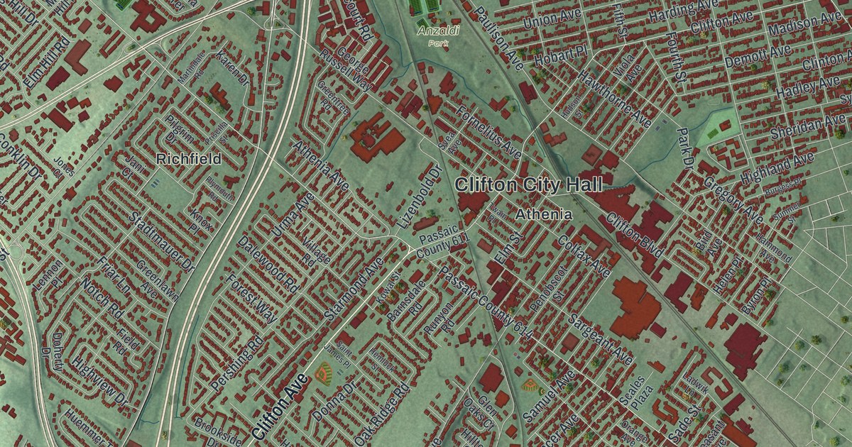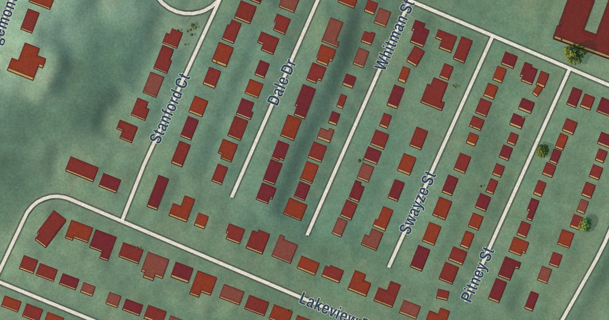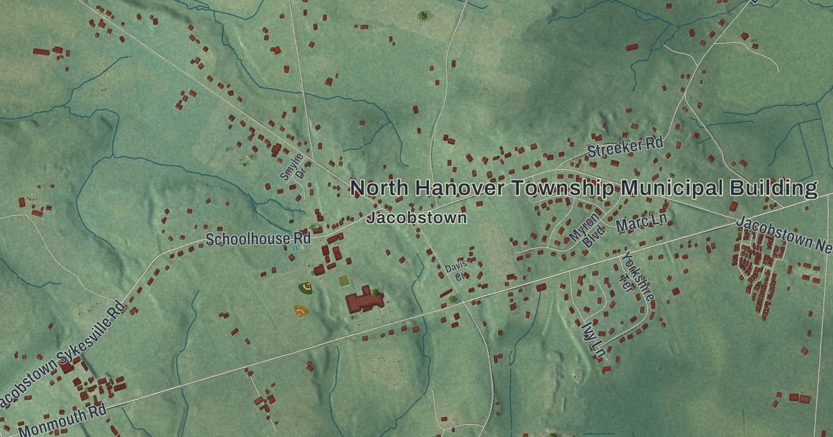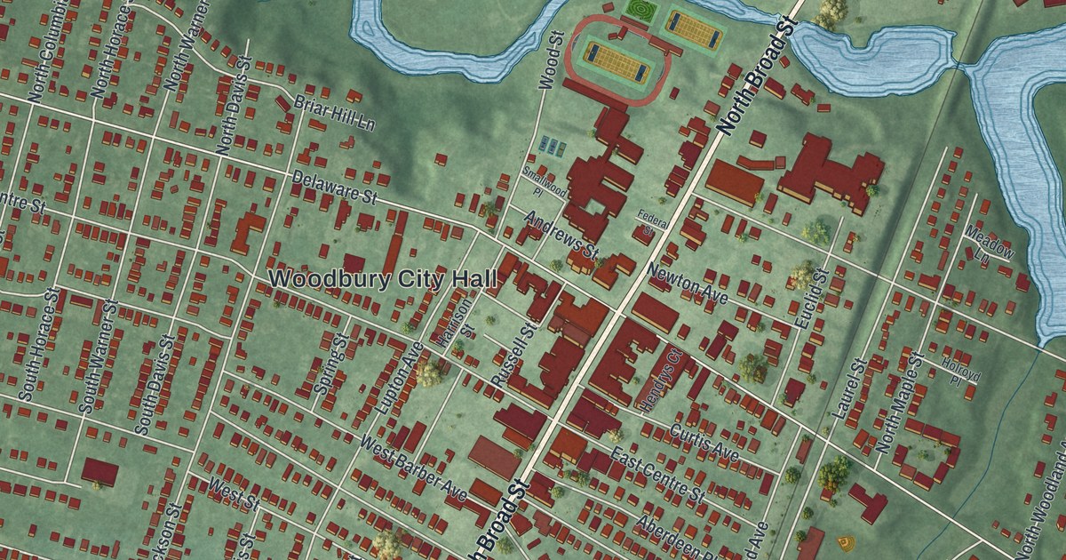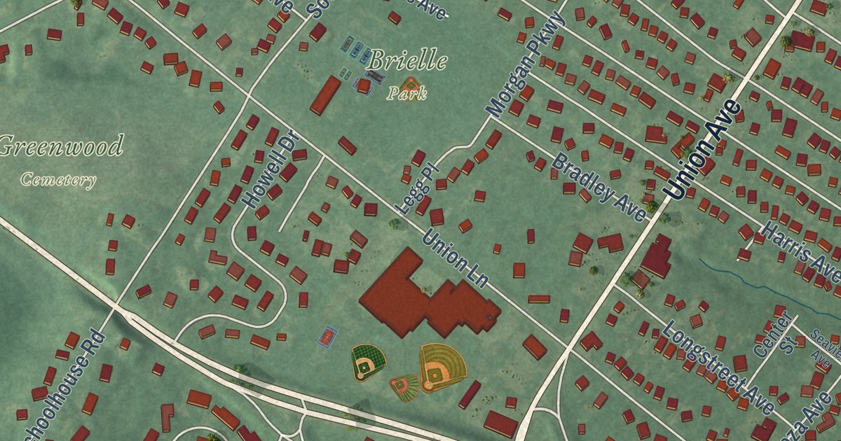
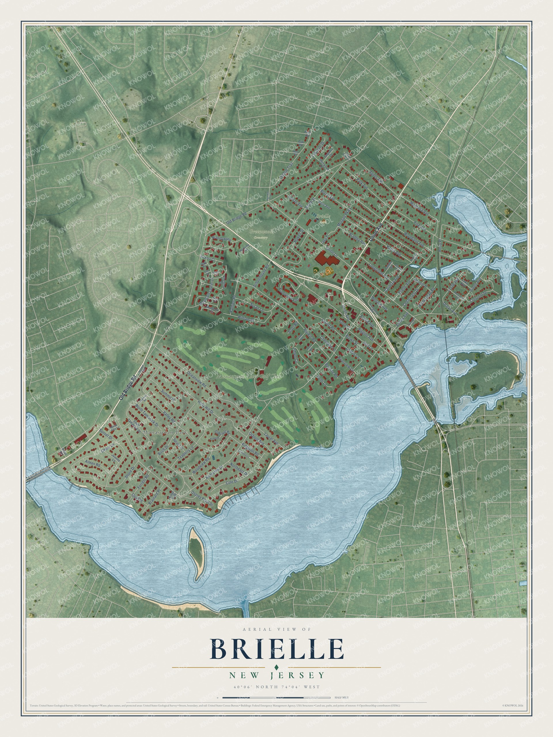
This beautifully detailed map of Brielle, New Jersey was created in 2026 using aerial imagery combined with modern topographical, census, street and landmark data. It’s a one-of-a-kind view of Brielle that combines accurate data with a vintage aesthetic. The map shows every building in its true location, many of the roads carry their names, and the shaded topographic relief shows the shape of the land.
Explore an aerial view of Brielle, New Jersey
On the map you’ll find Brielle Park, Greenwood Cemetery, Manasquan Park, Manasquan River Golf Club, and Brandywyne, along with Union Avenue, Old Bridge Road, Riverview Drive, Union Lane, Valley Road, Woodland Avenue, Rankin Road, and more. If you look closely you can even find your house accurately drawn in its correct location. Zoom in on the preview to look for yours.
Did You Know?
Before the Revolution, most salt came from Britain, and salt kept food from spoiling. The Union Salt Works opened here at Union Landing as the war began. On April 5, 1778, Loyalists attacked and burned it. It reopened a year later and ran until the war ended.
Take a closer look at the Brielle map
Names on this map
These names are printed on this map.
Places: Brielle Park, Greenwood Cemetery, Manasquan Park and Manasquan River Golf Club.
Streets and roads: Union Avenue, Old Bridge Road, Brandywyne, Riverview Drive, Union Lane, Valley Road, Woodland Avenue, Rankin Road, Holly Hill Drive, Higgins Avenue, Borrie Avenue, Oceanview Road.
More street names, A to Z
Agnes Avenue, Aileen Road, Algonkin Trail, Ashley Avenue, Bayberry Road, Beech Court, Bel Aire Road, Bennett Place, Berkeley Square, Birch Drive, Bradley Avenue, Brainard Place, Brandywyne East, Brielle Avenue, Brown Street, Captain Bailey Court, Cardeza Avenue, Cedarcrest Drive, Cedar Lane, Center Street, Cherokee Lane, Chester Avenue, Chestnut Court, Club Road, Cole Drive, Crescent Drive, Euclid Avenue, Evergreen Avenue, Fisk Avenue, Forrest Road, Green Avenue, Gull Lane, Haris Avenue, Harris Avenue, Hickory Court, Hilltop Place, Holly Road, Homestead Road, Howell Drive, Isham Circle, Jeanne Lane, Kenli Lane, Kings Path, Kingston Road, Lake Avenue, Laurel Avenue, Lebanon Drive, Legg Place, Lenape Trail, Leslie Avenue, Linden Lane, Locust Road, Longstreet Avenue, Lyman Avenue, Magnolia Avenue, Manasquan Avenue, Maple Circle, Mariners Bend, Melrose Avenue, Morgan Parkway, Mountain Laurel Lane, Mulberry Court, Northeast Drive, North Tamarack Drive, Oak Court, Oakcrest Road, Oak Place, Oak Road, Ocean Avenue, Osborn Avenue, Osprey Point Drive, Park Avenue, Perry Place, Pine Road, Post Road, Quail Place, Rathjen Road, River Road, Riverview Lane, Sandy Court, Schoolhouse Road, Scott Road, Seaview Avenue, Sequoia Court, Sherwood Drive, Shore Drive, South Street, South Tamarack Drive, Spruce Place, Summit Place, Sunset Drive, Susan Lane, Sycamore Lane, Teaberry Lane, Wainright Place, White Pine Lane, William Drive, Woodview Road.
See it on a wall
The Brielle map as an 18 x 24 inch print in a black frame.

This beautifully detailed map of Brielle makes an attractive addition to your office, library, or den, and it can even be used to teach children the geography and history of the area. It also makes a great gift for anyone with Brielle roots. When you’re done exploring, click here to get your copy of the Brielle map.