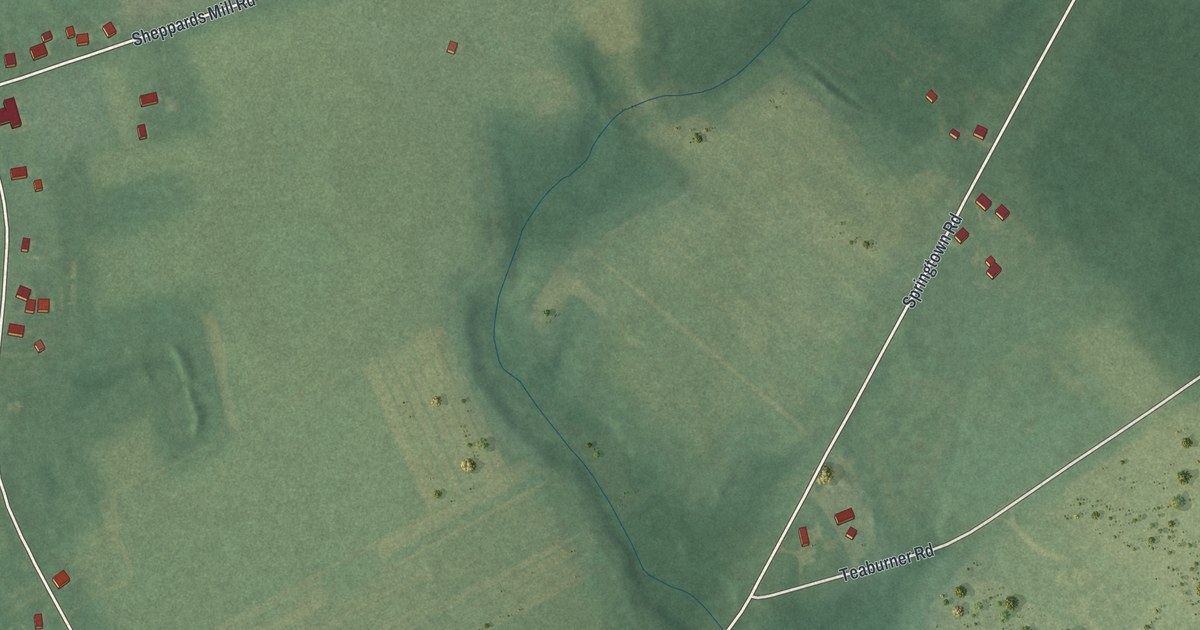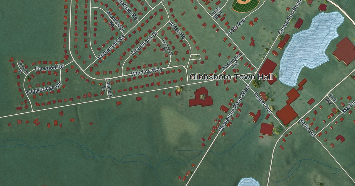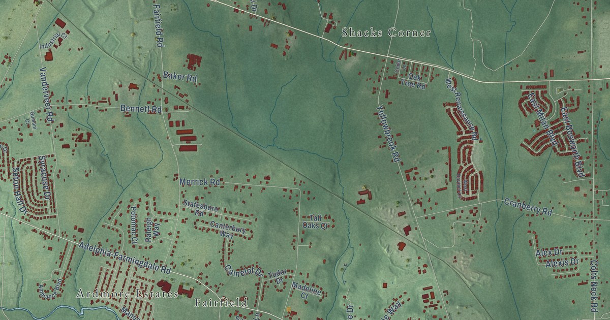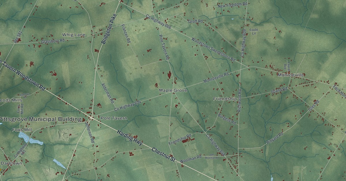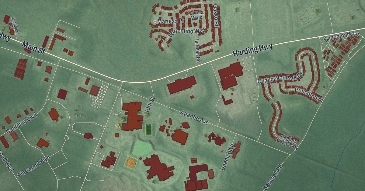
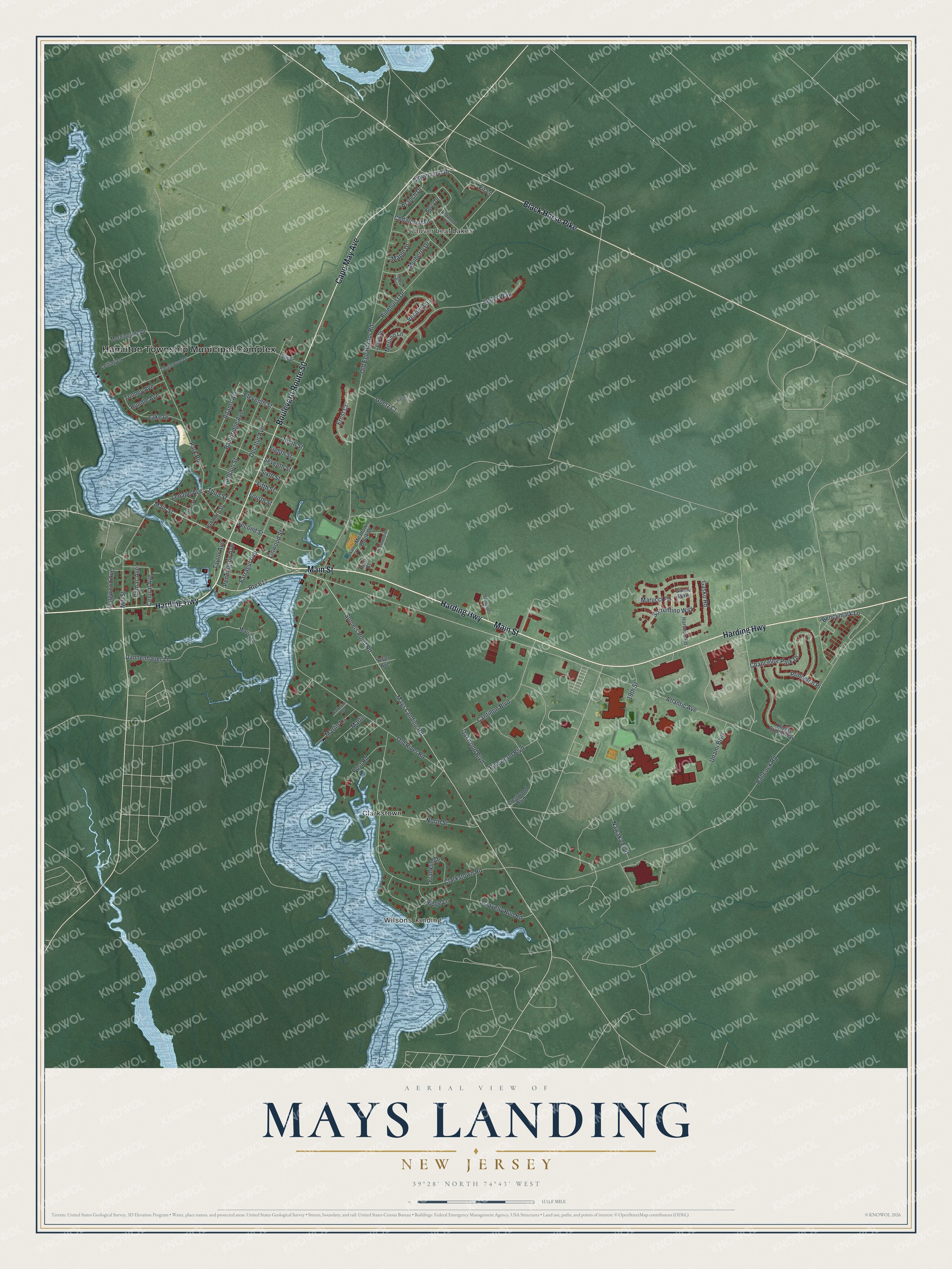
This beautifully detailed map of Mays Landing, New Jersey was created in 2026 using aerial imagery combined with modern topographical, census, street and landmark data. It’s a one-of-a-kind view of Mays Landing that combines accurate data with a vintage aesthetic. The map shows every building in its true location, many of the roads carry their names, and the shaded topographic relief shows the shape of the land.
Explore an aerial view of Mays Landing, New Jersey
On the map you’ll find Hamilton Township Municipal Complex, Wilsons Landing, Clover Leaf Lakes, and Clarkstown, along with Harding Highway, Cape May Avenue, Main Street, Black Horse Pike, and more. If you look closely you can even find your house accurately drawn in its correct location. Zoom in on the preview to look for yours.
Did You Know?
Mays Landing was founded by George May, a man from Philadelphia. He shipped out local bog iron and timber. In return he took salt, rice and indigo from the Carolinas. The settlement later became the seat of Atlantic County. That’s from the 1939 WPA guide to New Jersey.
Take a closer look at the Mays Landing map
Names on this map
These names are printed on this map.
Places: Hamilton Township Municipal Complex, Wilsons Landing, Clover Leaf Lakes and Clarkstown.
Streets and roads: Harding Highway, Cape May Avenue, Main Street, Boulevard Route 50, Black Horse Pike, Route 617, Atlantic Avenue, Oakwood Boulevard, Mays Landing Road, Somers Point Road, Pinewood Boulevard, Babcock Road.
More street names, A to Z
13th Street, 19th Street, Adams Avenue, Bainbridge Avenue, Benchmark Lane, Berry Drive, Branch Drive, Calhoun Street, Camac Avenue, Cantillon Boulevard, Cedarcroft Drive, Central Avenue, Chancellor Park Drive, Clarkstown Road, Clover Leaf Drive, Colony Drive, Crestwood Boulevard, Dannenhauer Lane, Decatur Avenue, Eighth Street, Eleventh Street, Ernst Court, Farragut Avenue, Fifth Street, Fir Lane, Fourth Street, Franklin Drive, Gasko Road, Giunta Walk, Goetz Court, Gravelly Run Road, Hannum Court, Hanthorn Street, Hartman Road, Hudson Street, Katherine Avenue, Keller Way, Knights Bridge Way, Lake Drive, Leiling Lane, Lenape Avenue, Lewis Drive, Linwood Street, Longwood Avenue, Maple Drive, Marlin, Marlin Lane, Marucci Place, Meadow Brook Drive, Meadowbrook Drive, Merlino Lane, Mill Street, Morningside Drive, Morris Lane, Mulberry Drive, Nawaka Boulevard, Ninth Street, North Street, Old Egg Harbor Road, Old River Road, Park Road, Pennington Avenue, Pico Court, Pinehurst Drive, Post Road, Princeton Place, Redwood Lane, Ridge Lane, River Avenue, Rundle Avenue, Sandpiper Drive, Second Street, Seventh Street, Sixth Street, Sorrentino Way, Tanglewood Drive, Taylor Avenue, Third Street, Tunney Avenue, Unami Boulevard, Vail Court, Vender Lane.
See it on a wall
The Mays Landing map as an 18 x 24 inch print in a black frame.

This beautifully detailed map of Mays Landing makes an attractive addition to your office, library, or den, and it can even be used to teach children the geography and history of the area. It also makes a great gift for anyone with Mays Landing roots. When you’re done exploring, click here to get your copy of the Mays Landing map.