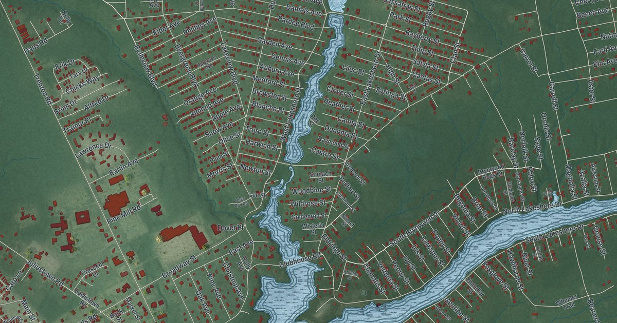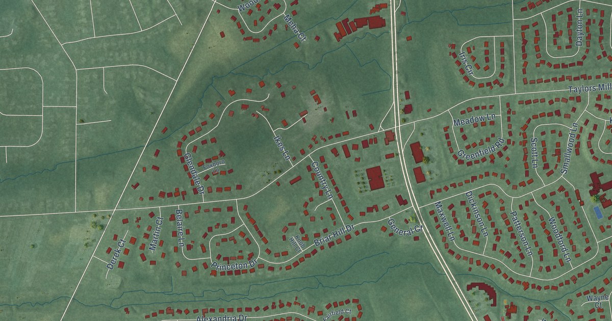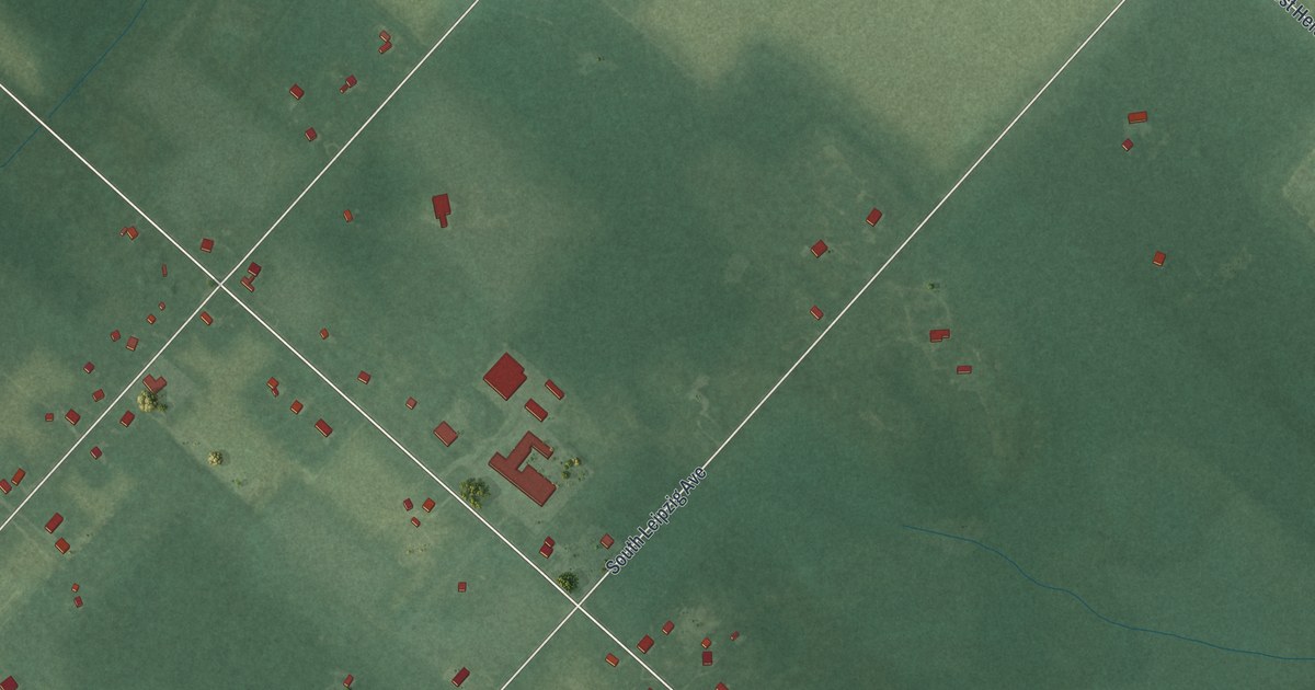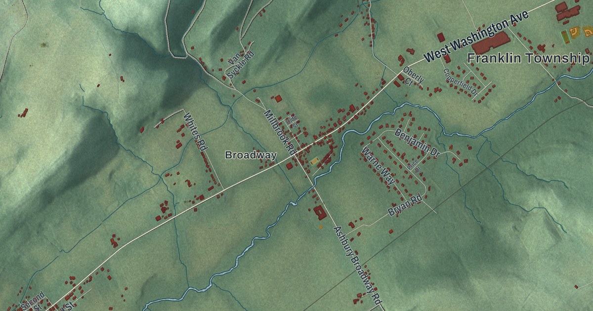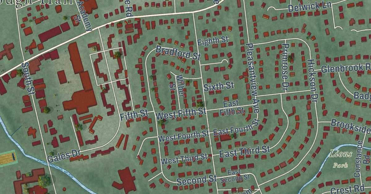
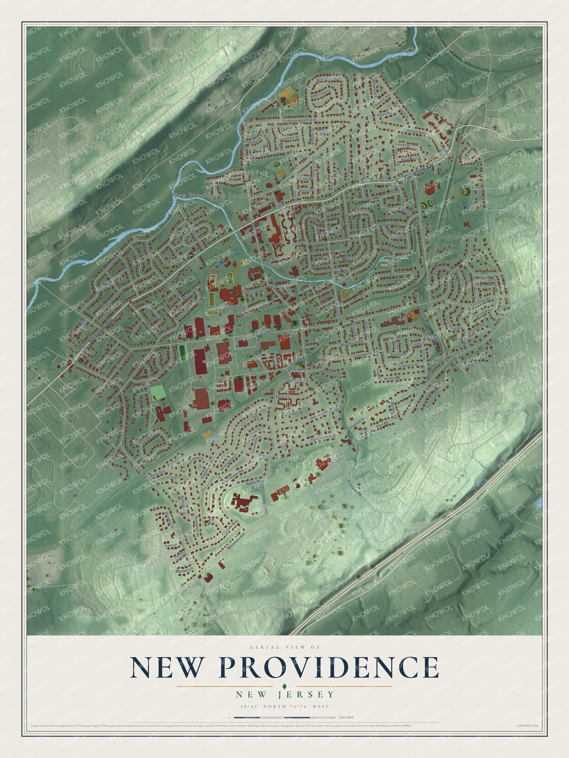
This beautifully detailed map of New Providence, New Jersey was created in 2026 using aerial imagery combined with modern topographical, census, street and landmark data. It’s a one-of-a-kind view of New Providence that combines accurate data with a vintage aesthetic. The map shows every building in its true location, many of the roads carry their names, and the shaded topographic relief shows the shape of the land.
Explore an aerial view of New Providence, New Jersey
On the map you’ll find New Providence Borough Hall, Benders Corner, Oakwood Park, Murray Hill, and Lions Park, along with Springfield Avenue, Central Avenue, Mountain Avenue, Union Avenue, and more. If you look closely you can even find your house accurately drawn in its correct location. Zoom in on the preview to look for yours.
Did You Know?
The first settlers called this place Turkey, for the wild turkeys living here. In 1759 the balcony of the Presbyterian church collapsed, yet nobody was seriously hurt. Residents saw that as an act of divine care. They renamed their village New Providence.
Take a closer look at the New Providence map
Names on this map
These names are printed on this map.
Places: New Providence Borough Hall, Benders Corner, Oakwood Park, Murray Hill and Lions Park.
Streets and roads: Springfield Avenue, Central Avenue, Mountain Avenue, Union Avenue, South Street, Charnwood Road, Maple Street, Division Avenue, Elkwood Avenue, Southgate Road, Livingston Avenue, Woodbine Circle.
More street names, A to Z
Academy Street, Acorn Drive, Alden Road, Ashwood Road, Aspen Court, Badgley Drive, Balcom Road, Baldwin Drive, Bergen Road, Birch Place, Bradford Street, Brier Court, Brookside Drive, Cameron Road, Candlewood Drive, Chanlon Road, Chestnut Street, Clinton Avenue, Club Drive, Club Lane, Coddington Drive, Colchester Road, Colonial Way, Colony Court, Columbus Avenue, Commerce Drive, Commonwealth Avenue, Constance Road, Crane Circle, Crescent Drive, Crest Road, Cross Way, Darby Court, Deerfield Road, Delaware Avenue, Delwick Lane, Devon Place, Diane Court, Dogwood Lane, Dorr Road, Douglas Street, Dunlap Street, Earl Place, East Fifth Street, East Fourth Street, East Second Street, East Third Street, Edward Court, Eighth Street, Elizabeth Court, Elmore Road, Elm Street, Ethan Drive, Etmore Place, Evergreen Avenue, Fairmount Road, Fairview Avenue, Fifth Street, First Street, Floral Avenue, Foley Place, Forest Road, Fox Run, Frost Lane, Gales Drive, Gallinson Drive, George Road, Glenbrook Road, Glenside Road, Gold Court, Gordon Place, Grant Avenue, Greenwood Road, Grove Terrace, Hansell Road, Hathaway Drive, Hawthorne Drive, Heather Court, Hedden Place, Hickory Place, Hickson Drive, High Street, Hilary Place, Hillside Terrace, Holmes Avenue, Inwood Road, Jane Road, Johnson Drive, Jones Drive, Kendrick Road, Kline Boulevard, Kline Place, Knollwood Drive, Lancaster Court, Laurel Drive, Lavina Court, Lincoln Lane, Madison Avenue, Magnolia Drive, Marion Avenue, Martins Lane, Mee Lane, Midvale Drive, Mill Pond Road, Morehouse Place, Murray Hill Square, Nassau Place, Newcomb Drive, Northview Road, Oakwood Drive, Old Brook Lane, Old Oak Drive, Osborne Avenue, Overhill Road, Oxbow Drive, Park Place, Passaic Street, Pearl Street, Penwood Drive, Pillsford Way, Pine Court, Pine Way, Pioneer Drive, Pitney Avenue, Pittsford Way, Pleasantview Avenue, Porter Place, Possum Way, Primrose Drive, Princeton Drive, Radcliff Drive, Richland Drive, Ridge Drive, Ridgeview Avenue, Roessner Place, Rose Avenue, Runnymede Parkway, Ryder Way, Sagamore Drive, Salem Road, Salt Brook Road, Second Street, Seven Oaks Drive, Shelly Drive, Sherwood Drive, Sixth Street, Slope Drive, Spring Street, Stanley Road, Stone Ridge Road, Stoneridge Road, Sulfrian Road, Tall Oaks Drive, Terrace Road, The Fellsway, Timothy Field Road, Valentine Road, Valley View Avenue, Verona Road, Vista Lane, Walker Drive, Walnut Street, Walton Avenue, Warner Place, Wellings Road, Wesley Court, Westerly Avenue, West Fifth Street, West Fourth Street, West Third Street, Westview Avenue, Whitewood Drive, Whitman Drive, Wilber Street, William Paca Place, Woodcrest Drive, Woodland Road, Yarmouth Drive.
See it on a wall
The New Providence map as an 18 x 24 inch print in a black frame.

This beautifully detailed map of New Providence makes an attractive addition to your office, library, or den, and it can even be used to teach children the geography and history of the area. It also makes a great gift for someone who left New Providence and still calls it home. When you’re done exploring, click here to get your copy of the New Providence map.