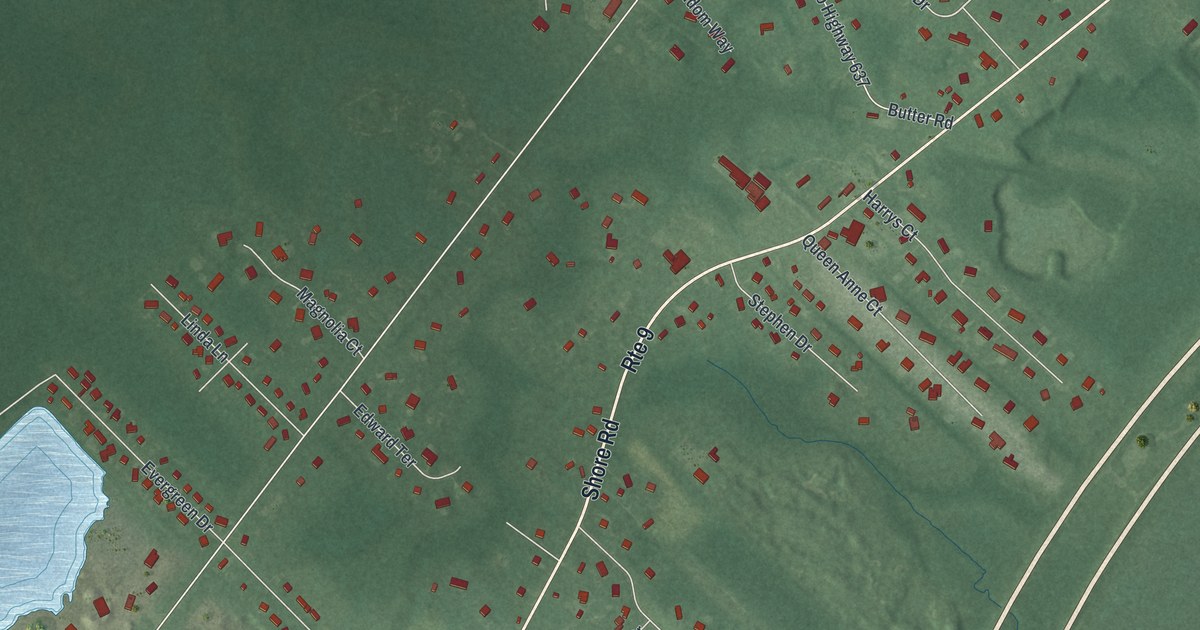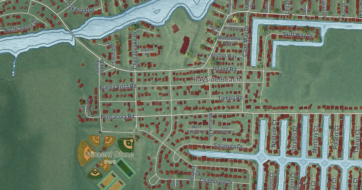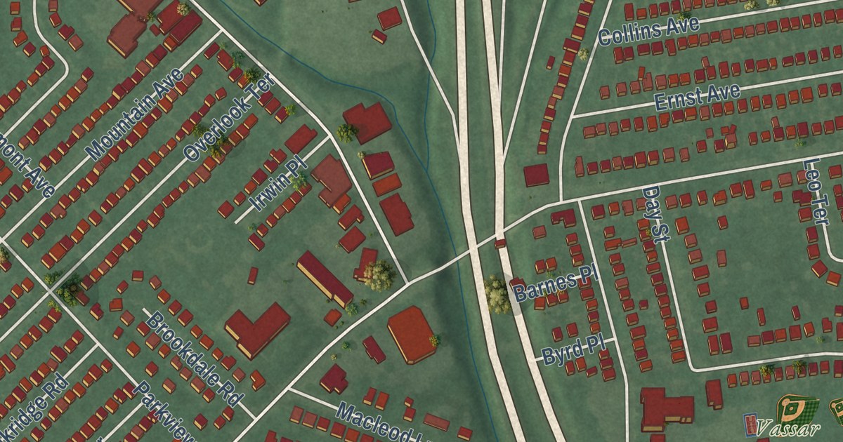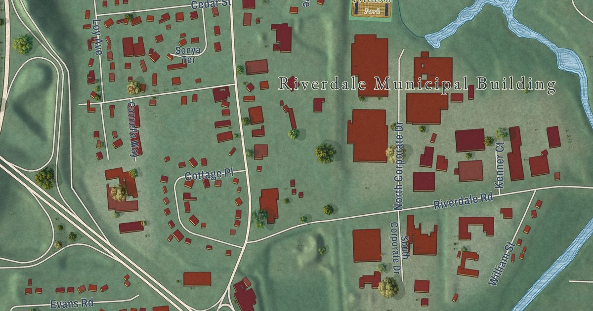
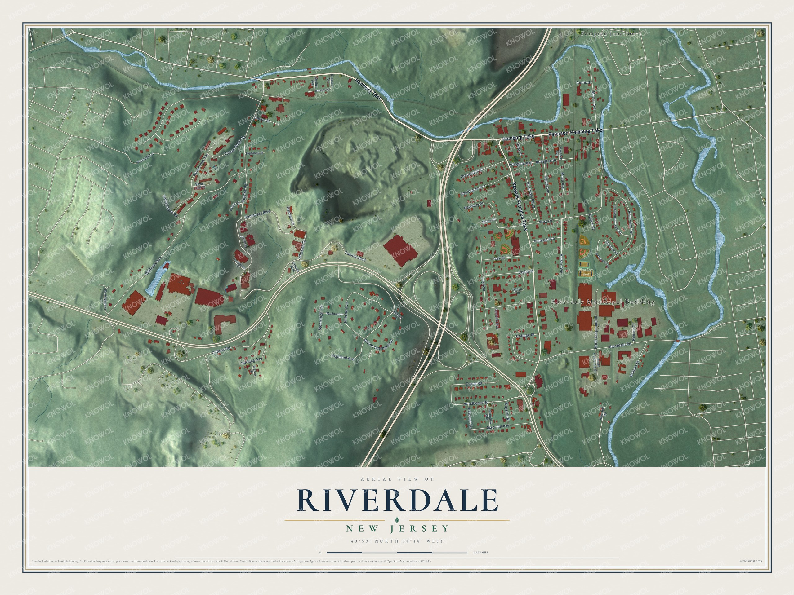
This beautifully detailed map of Riverdale, New Jersey was created in 2026 using aerial imagery combined with modern topographical, census, street and landmark data. It’s a one-of-a-kind view of Riverdale that combines accurate data with a vintage aesthetic. The map shows every building in its true location, many of the roads carry their names, and the shaded topographic relief shows the shape of the land.
Explore an aerial view of Riverdale, New Jersey
On the map you’ll find Riverdale Municipal Building, Pompton Junction, and Freedom Park, along with Hamburg Turnpike, Paterson-Hamburg Turnpike, Newark Pompton Turnpike, Falston Boulevard, and more. If you look closely you can even find your house accurately drawn in its correct location. Zoom in on the preview to look for yours.
Take a closer look at the Riverdale map
Names on this map
These names are printed on this map.
Places: Riverdale Municipal Building, Freedom Park and Pompton Junction.
Streets and roads: Hamburg Turnpike, Paterson-Hamburg Turnpike, Newark Pompton Turnpike, Falston Boulevard, Windbeam Road, Wharton Court, Mathews Avenue, Highland Avenue, Sanctuary Boulevard, Cotluss Road, Post Lane, Riverdale Road.
More street names, A to Z
Afterglow Way, Arlington Avenue, Arlington Place, Brookhaven Court, Brown Court, Cannella Way, Carper Lane, Cedar Street, Cottage Place, Coventry Court, Curtis Street, Dalton Drive, Degraw Road, Drace Place, Evans Road, Federal Avenue, Fernwood Crescent, Grande Boulevard, Greenwich Street, Halsey Avenue, Harrison Road, Hartung Avenue, Haycock Avenue, Hemlock Street, Hillcrest Terrace, Hillside Avenue, Kenner Court, Lead Mine Road, Linden Street, Loy Avenue, Macopin Avenue, Mead Avenue, Michael Drive, Micken Avenue, Morris Avenue, Mullen Avenue, Munn Avenue, Newbury Place, North Corporate Drive, Oak Street, Perry Court, Provost Lane, Ramapo Court, Riverdale Parkway, Riverview Terrace, Rockcreek Terrace, Ryerson Avenue, Silver Leaf Court, Sonya Terrace, South Corporate Drive, Stonehouse Road, Stoneleigh Terrace, Stratford Place, Timber Ridge Road, Van Duyne Avenue, Wayside Place, Wedgewood Road, Wesley Street, William Street, Wilson Avenue East.
See it on a wall
The Riverdale map as an 18 x 24 inch print in a black frame.

This beautifully detailed map of Riverdale makes an attractive addition to your office, library, or den, and it can even be used to teach children the geography and history of the area. It also makes a great gift for anyone with Riverdale roots. When you’re done exploring, click here to get your copy of the Riverdale map.