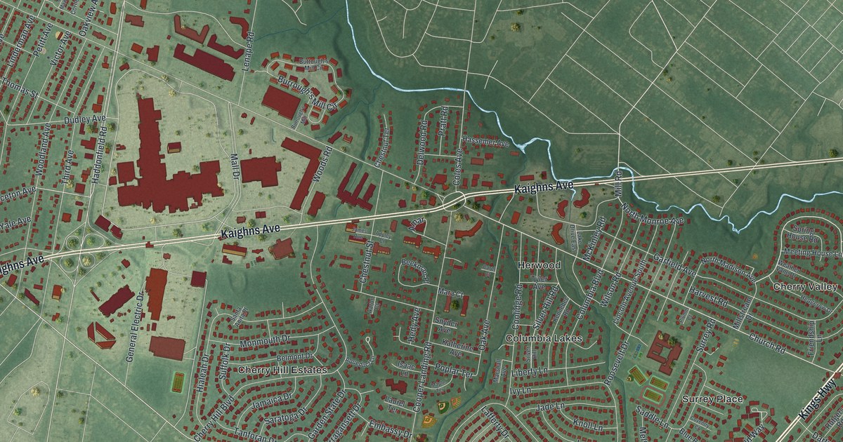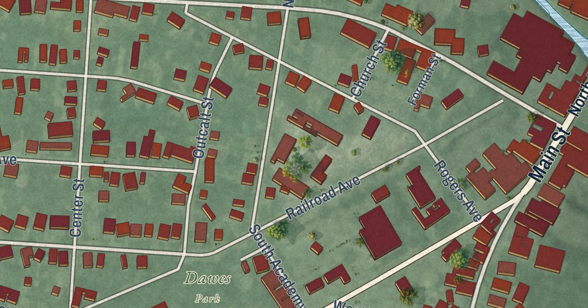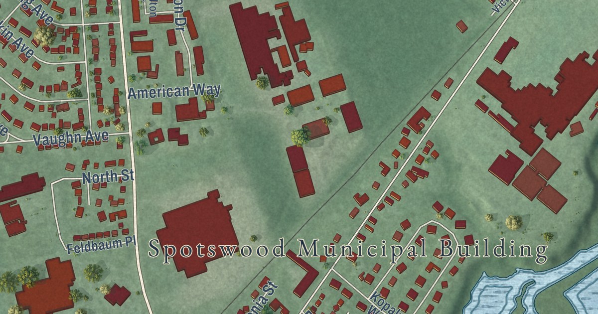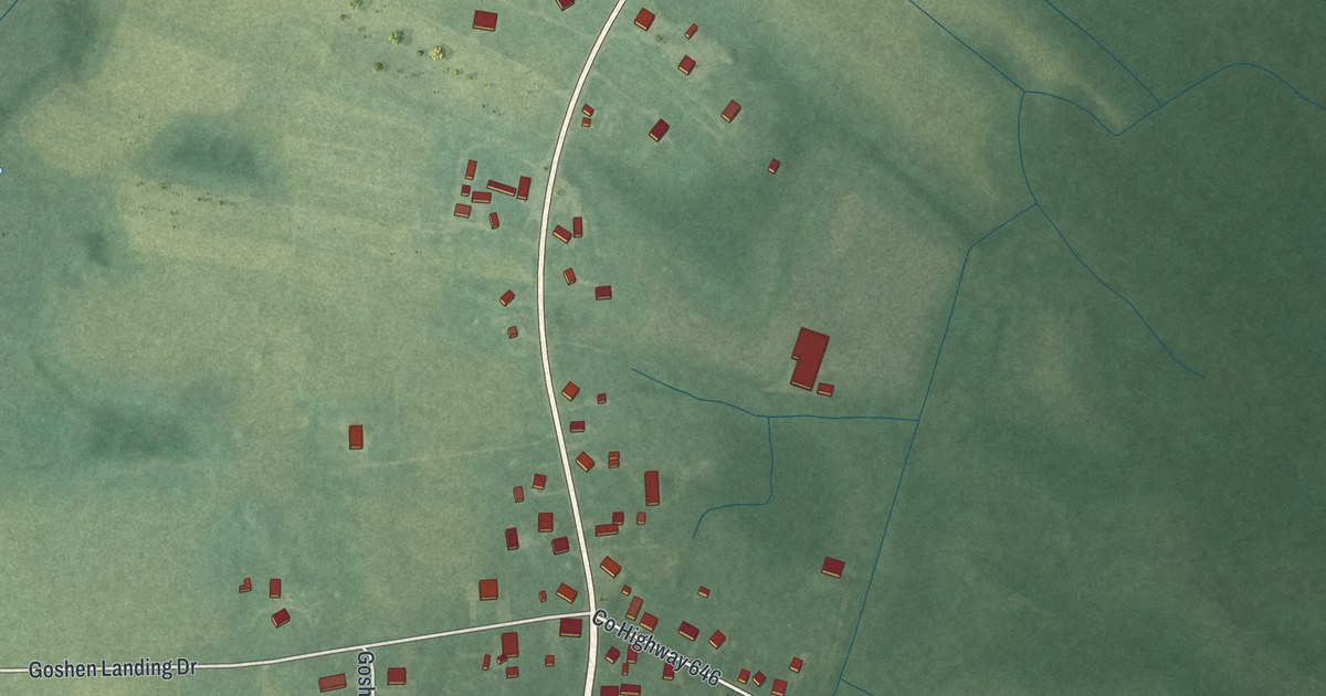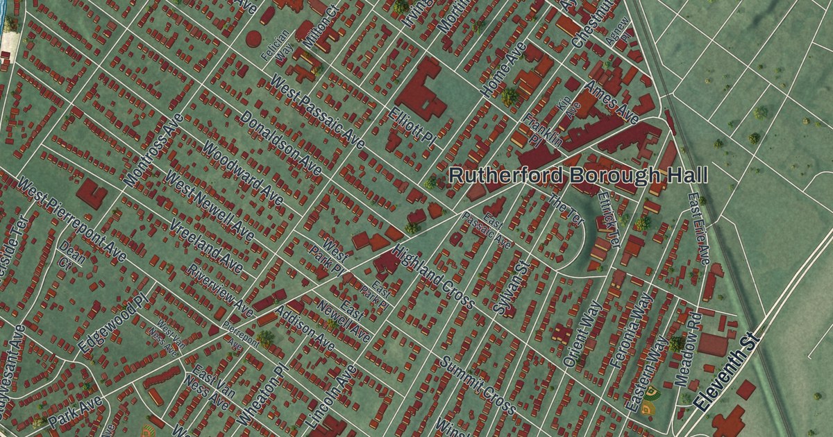
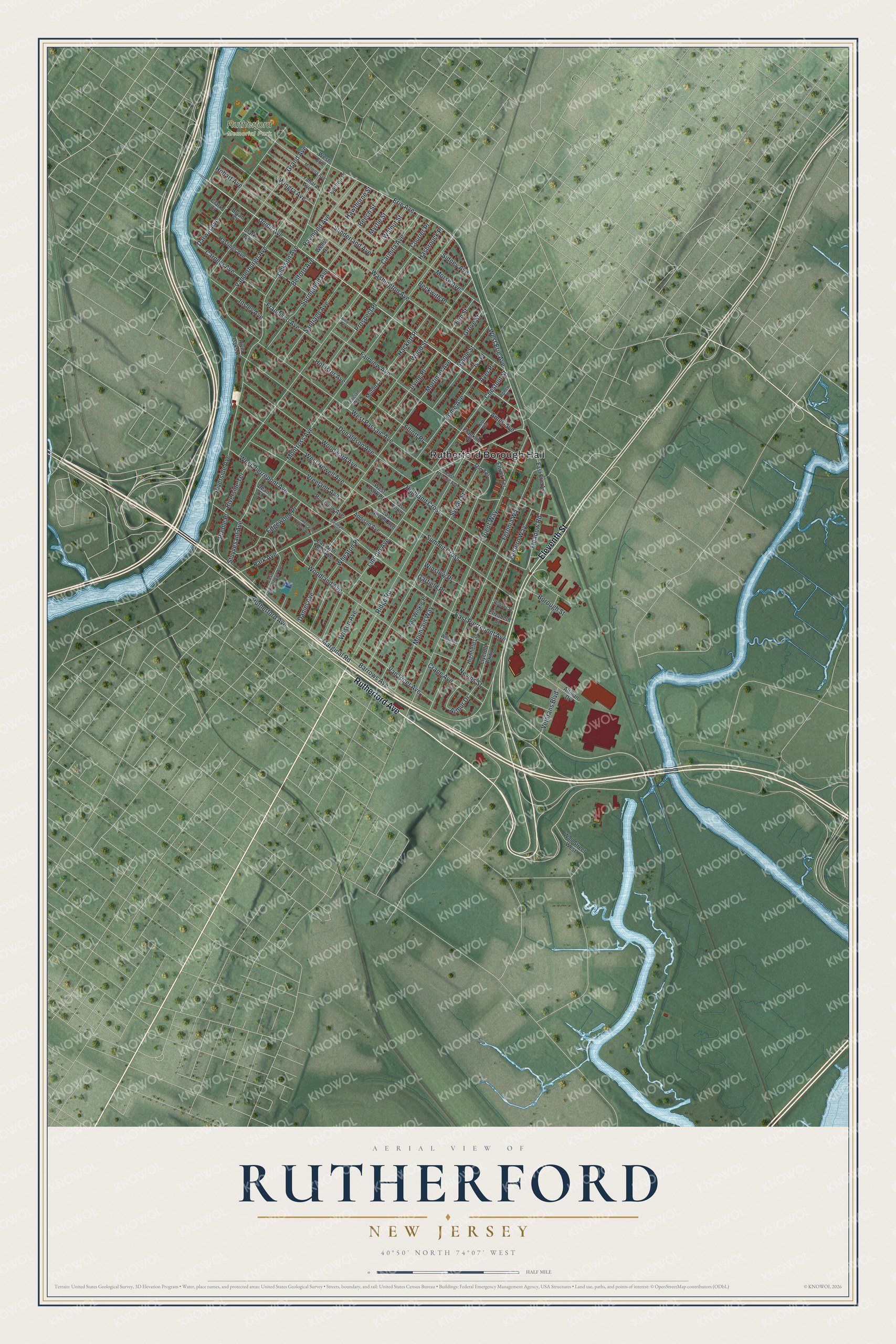
This beautifully detailed map of Rutherford, New Jersey was created in 2026 using aerial imagery combined with modern topographical, census, street and landmark data. It’s a one-of-a-kind view of Rutherford that combines accurate data with a vintage aesthetic. The map shows every building in its true location, many of the roads carry their names, and the shaded topographic relief shows the shape of the land.
Explore an aerial view of Rutherford, New Jersey
On the map you’ll find Rutherford Borough Hall, along with Rutherford Avenue, Eleventh Street, Union Avenue, Erie Avenue, and more. If you look closely you can even find your house accurately drawn in its correct location. Zoom in on the preview to look for yours.
Did You Know?
The area was first called Boiling Springs, after a strong spring that never stopped flowing. Oddly, its water was cold, not hot. John Rutherfurd, a former U.S. Senator, had owned much of this farmland, and his estate still held it. The borough formed in 1881 took his name.
Take a closer look at the Rutherford map
Names on this map
These names are printed on this map.
Places: Rutherford Borough Hall and Rutherford Memorial Park.
Streets and roads: Rutherford Avenue, Eleventh Street, Union Avenue, Erie Avenue, West Erie Avenue, Vanderburgh Avenue, Meadow Road, Park Avenue, Jackson Avenue, Marginal Road, Washington Avenue, Orient Way.
More street names, A to Z
Addison Avenue, Agnew Place, Altman Drive, Alwyn Terrace, Ames Avenue, Arthur Drive, Ayer Place, Barrows Avenue, Beckwith Place, Beech Street, Belford Avenue, Borough Street, Bryan Court, Carlton Place, Carmita Avenue, Carneer Avenue, Chestnut Street, Clark Avenue, Clark Court, Courier Place, Crane Avenue, Daniel Avenue, Darwin Avenue, Dean Court, Donaldson Avenue, East Erie Avenue, Eastern Way, East Gouverneur Avenue, East Newell Avenue, East Park Place, East Passaic Avenue, East Pierrepont Avenue, East Van Ness Avenue, Edgewood Place, Elizabeth Street, Elliott Place, Elm Street, Elycroft Parkway, Ettrick Terrace, Fairview Avenue, Felician Way, Feronia Way, Francisco Avenue, Franklin Place, Garfield Place, Grand Avenue, Grove Street, Hackett Place, Hasbrouck Place, Hastings Avenue, Hawthorne Street, Highfield Lane, Highland Cross, Hobart Avenue, Hollister Avenue, Home Avenue, Insley Avenue, Irving Place, Ivy Place, Kip Avenue, Lincoln Avenue, Maple Street, Milton Court, Monona Avenue, Montross Avenue, Morse Avenue, Mortimer Avenue, Mountain Way, Myrtle Street, Nevins Street, Pierrepont Avenue, Preble Place, Prospect Place, Raymond Avenue, Ridge Road, River Oaks Drive, Riverside Avenue, Riverside Terrace, Riverview Avenue, Roliver Street, Santiago Avenue, Sidney Avenue, Springfield Avenue, Stuyvesant Avenue, Summit Cross, Sunderland Avenue, Sylvan Street, The Terrace, Van Riper Avenue, Van Winkle Place, Veterans Boulevard, Vreeland Avenue, Wall Street West, Walnut Street, Wells Place, West Erie, West Newell Avenue, West Park Place, West Passaic Avenue, West Pierrepont Avenue, West Van Ness Avenue, Wheaton Place, Williams Street, Wilson Avenue, Wingra Avenue, Winslow Place, Woodland Avenue, Wood Street, Woodward Avenue, Yahara Avenue.
See it on a wall
The Rutherford map as an 18 x 24 inch print in a black frame.

This beautifully detailed map of Rutherford makes an attractive addition to your office, library, or den, and it can even be used to teach children the geography and history of the area. It also makes a great gift for anyone with Rutherford roots. When you’re done exploring, click here to get your copy of the Rutherford map.