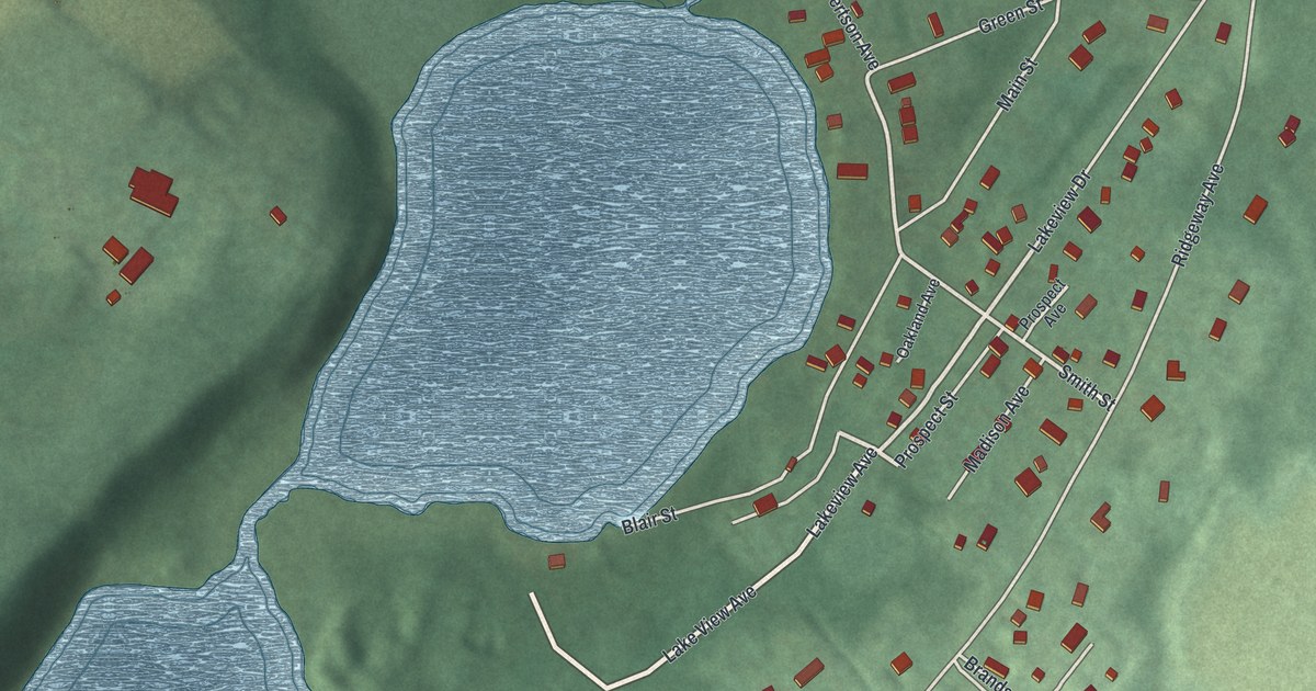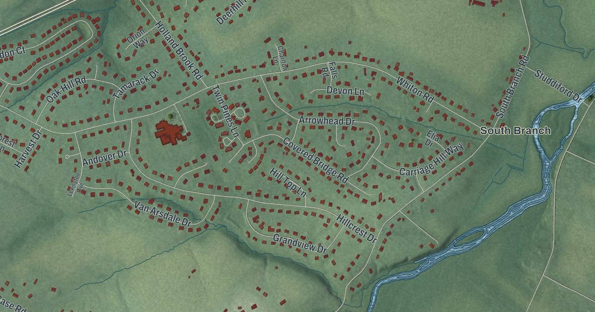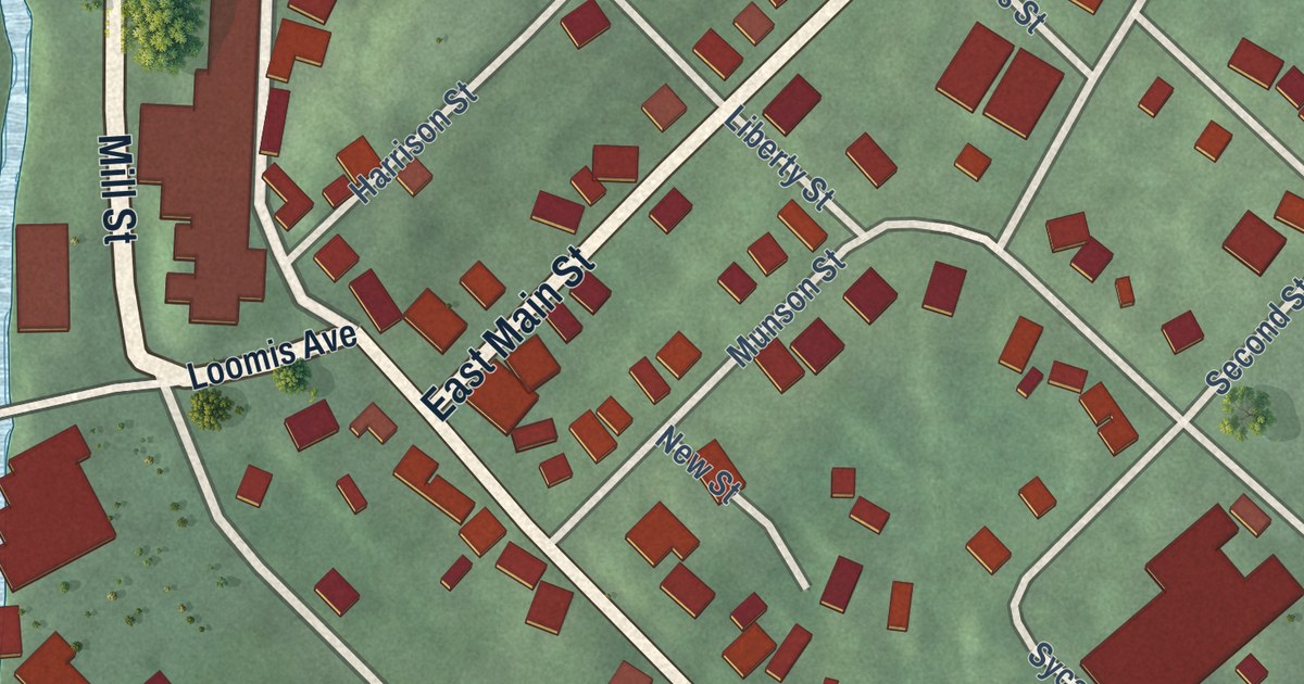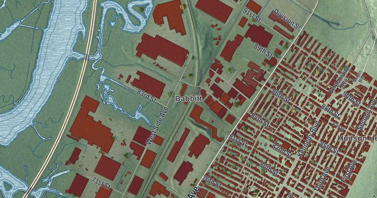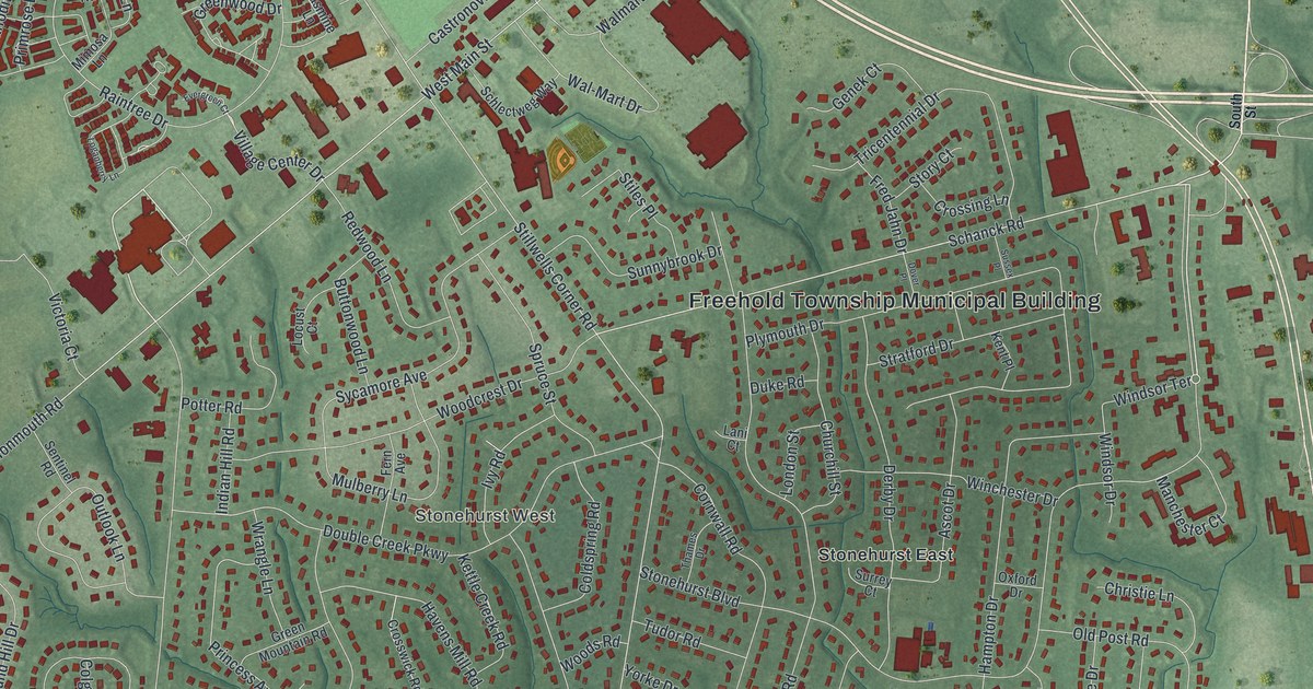
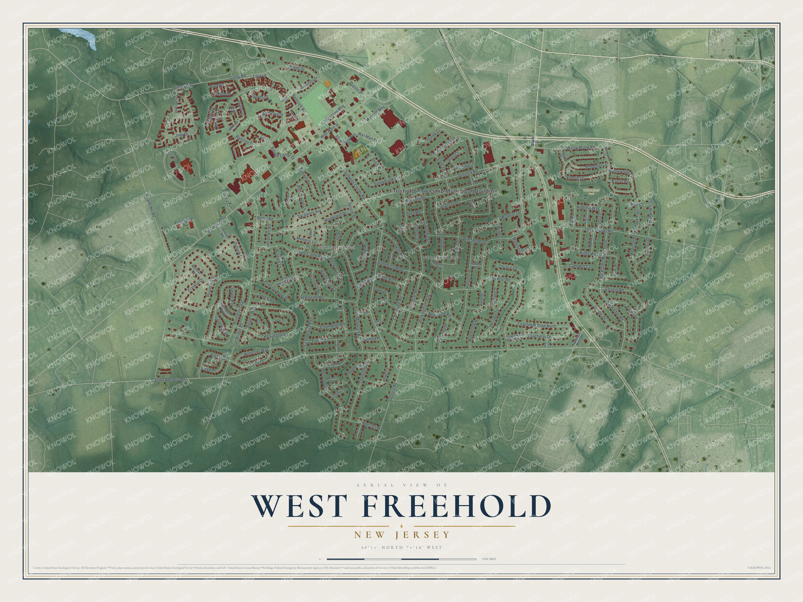
This beautifully detailed map of West Freehold, New Jersey was created in 2026 using aerial imagery combined with modern topographical, census, street and landmark data. It’s a one-of-a-kind view of West Freehold that combines accurate data with a vintage aesthetic. The map shows every building in its true location, many of the roads carry their names, and the shaded topographic relief shows the shape of the land.
Explore an aerial view of West Freehold, New Jersey
On the map you’ll find Freehold Township Municipal Building, Stonehurst West, Stonehurst East, and Wynnefield Park, along with South Street, Stonehurst Boulevard, Schanck Road, Hazel Drive, and more. If you look closely you can even find your house accurately drawn in its correct location. Zoom in on the preview to look for yours.
Did You Know?
West Freehold was once known as Mount’s Corner. Settlers came by the late 1600s, many of them escaping religious persecution. The local tavern was a stagecoach stop on the Burlington Path. Moses Mount, a Revolutionary War private and aide to George Washington, was its first keeper.
Take a closer look at the West Freehold map
Names on this map
These names are printed on this map.
Places: Freehold Township Municipal Building, Stonehurst West, Wynnefield Park and Stonehurst East.
Streets and roads: Stonehurst Boulevard, Schanck Road, Hazel Drive, Wemrock Road, Village Center Drive, Stillwells Corner Road, Elton Adelphia Road, Gravel Hill Road, Princeton Oval, Joda Drive, Iron Bridge Road, Raintree Drive.
More street names, A to Z
Adams Place, Almond Road, Andorra Terrace, Andrews Court, Applegate Road, Ascot Drive, Aspen Lane, Assunpink Trail, Avon Drive, Bar Harbor Road, Bar Harbor Road South, Braeton Way, Buckingham Way, Burki Place, Buttonwood Lane, Cambridge Road, Campbell Court, Castronova Way, Christie Lane, Churchill Street, Coachman Drive, Coachman Drive North, Coachman Drive South, Coldspring Road, Colgate Way, Colorado Place, Columbia Court, Cornell Court, Cornwall Road, Coventry Drive, Crossing Lane, Crosswick Road, Crown Point Court, Daffodil Drive, Dartmouth Way, Dawes Court, Derby Drive, Double Creek Parkway, Dover Place, Drexel Place, Duke Road, Dundee Terrace, Entrance Road, Ethan Allen Road, Evergreen Court, Fern Avenue, Forsgate Drive, Franklin Drive, Fred Jahn Drive, Gage Court, Genek Court, Georgia Road, Gibson Place, Grassmere Court, Green Mountain Road, Greenwood Drive, Guilford Place, Gulley Road, Hampton Drive, Harvard Oval, Havens Mill Road, Heritage Drive, Hibernia Way, Hopi Court, Howe Lane, Hutchinson Drive, Indian Hill Road, Inverness Drive, Iroquois Drive, Ivy Road, Jackson Mills Road, Jasmine Lane, Juniper Drive, Kent Place, Kettle Creek Road, Kings Mountain Road, Kings Way, Kinney Road, Koenig Lane, Koster Drive, Lancaster Road, Lani Court, Lily Lane, Locust Court, Loganberry Lane, London Street, Lutea Terrace, Manchester Court, Marthas Drive, Medford Boulevard, Mimosa Lane, Mohawk Trail, Mohegan Road, Monmouth Road, Mulberry Lane, Newcastle Road, Oakley Drive, Old Post Road, Oriskany Drive, Outlook Lane, Oxford Drive, Pagoda Lane, Park Place, Patriot Way, Perri Road, Plymouth Drive, Portage Drive, Potter Road, Prescott Place, Primrose Lane, Princess Anne Drive, Professional Drive, Redwood Lane, Round Hill Drive, Rutgers Way, Saratoga Place, Sargent Road, Schaeffer Lane, Schlectweg Way, Sentinel Road, South Street, Spruce Street, Stevens Way, Stiles Place, Story Court, Stratford Drive, Sunnybrook Drive, Surrey Court, Sussex Place, Sycamore Avenue, Thames Drive, Three Brooks Road, Ticonderoga Boulevard, Tilton Drive, Totem Road, Townsend Drive, Tricentennial Drive, Tudor Road, Tulip Lane, Vassar Drive, Victoria Court, Virginiana Terrace, Wal-Mart Drive, Walmart Way, Wellesley Way, West Main Street, Willow Brook Road, Winchester Drive, Windsor Drive, Windsor Terrace, Woodcrest Drive, Woods Road, Woodstock Place, Wrangle Lane, Wynnewood Court, Wynnewood Drive, Yale Drive, Yorke Court, Yorke Drive.
See it on a wall
The West Freehold map as an 18 x 24 inch print in a black frame.

This beautifully detailed map of West Freehold makes an attractive addition to your office, library, or den, and it can even be used to teach children the geography and history of the area. It also makes a great gift for anyone with West Freehold roots. When you’re done exploring, click here to get your copy of the West Freehold map.