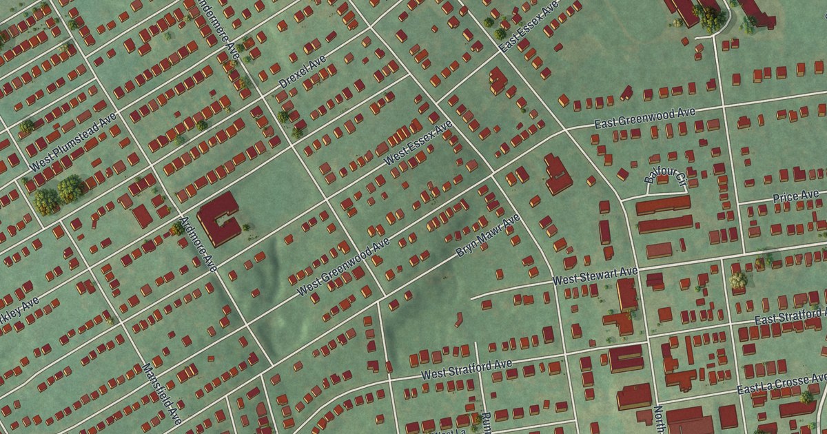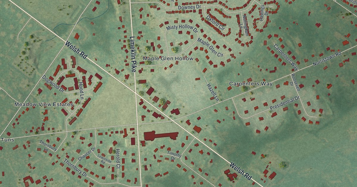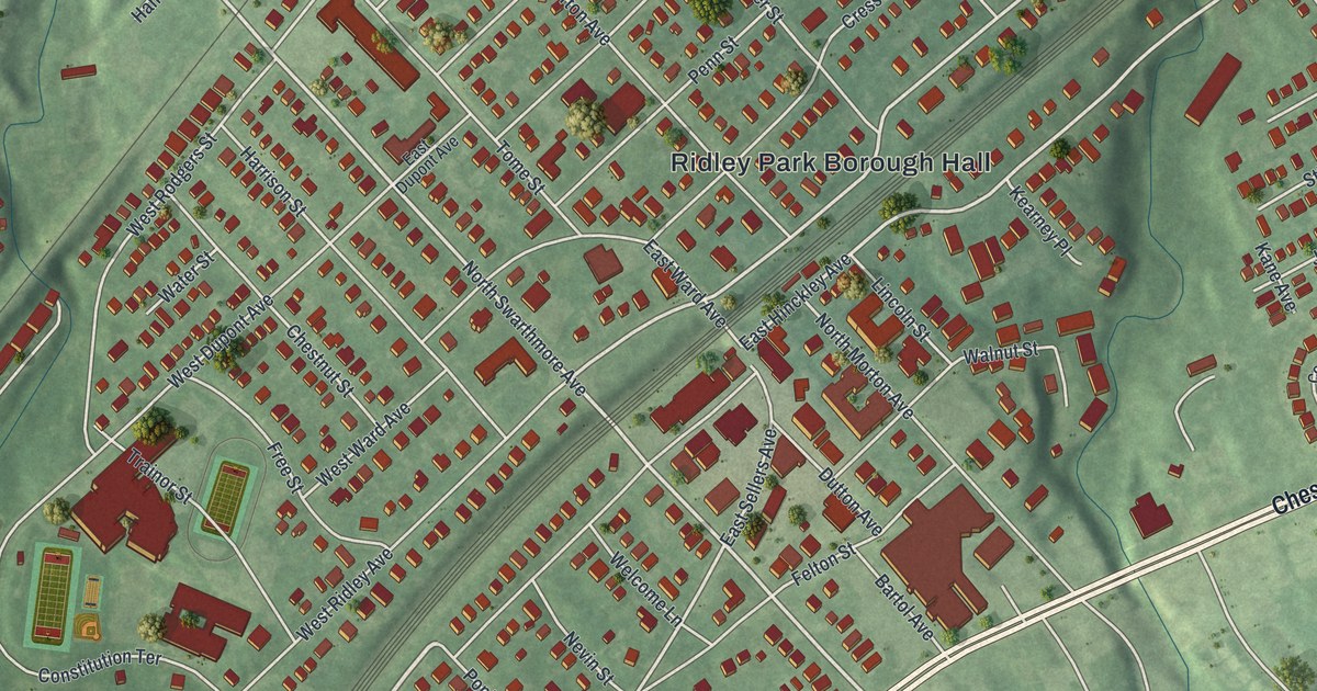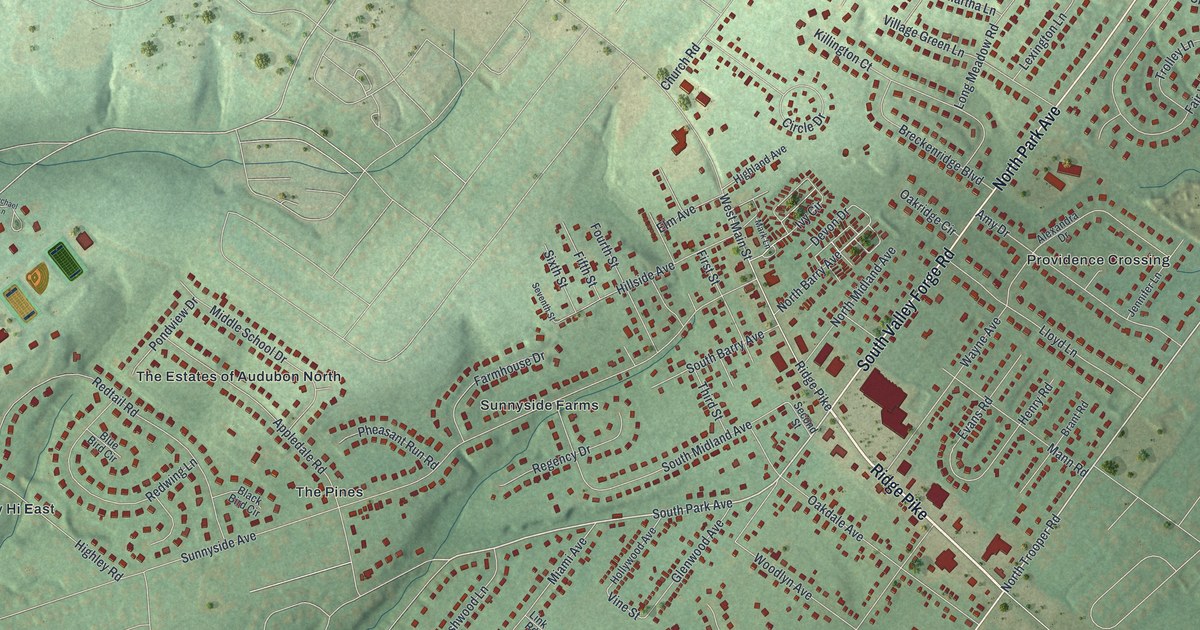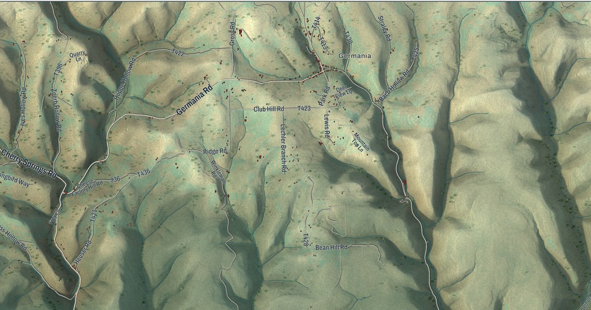
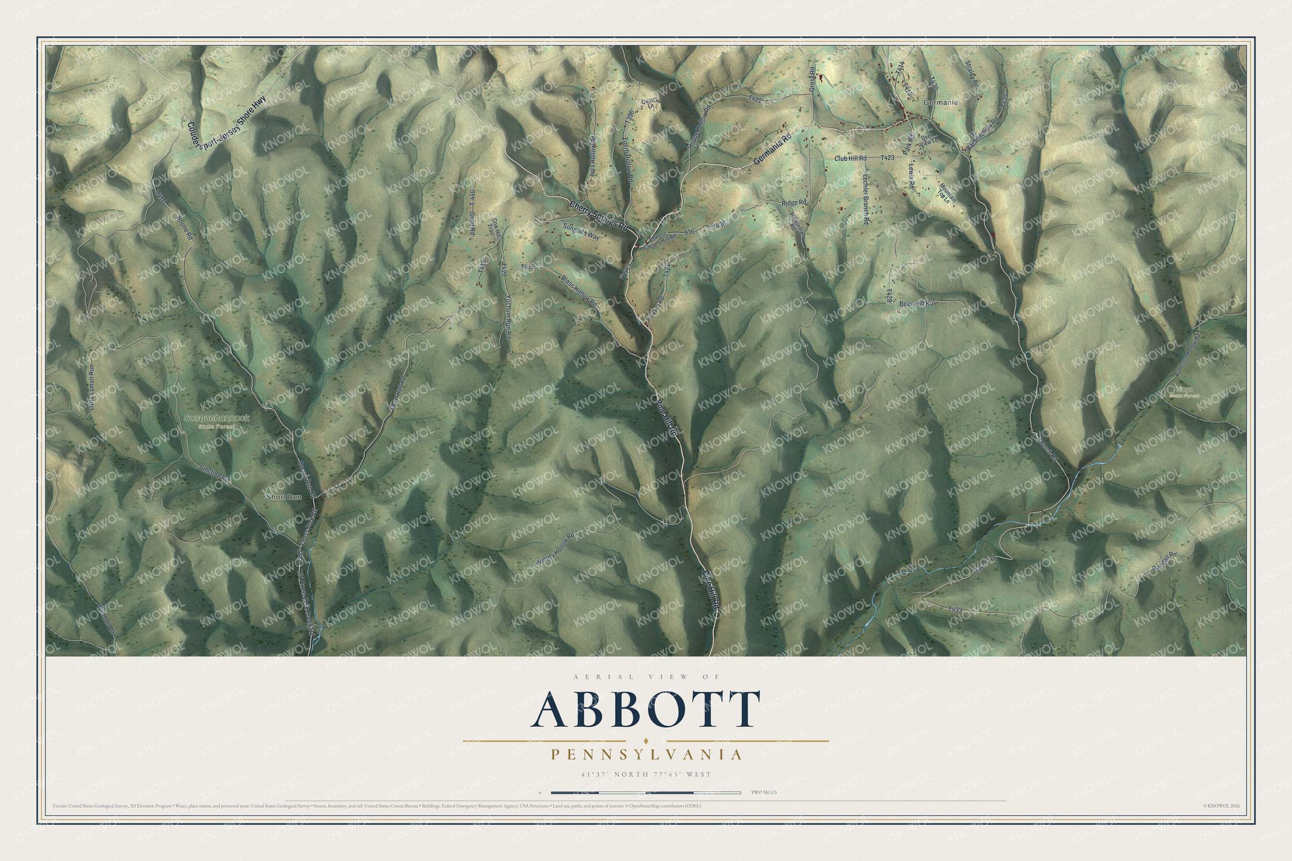
This beautifully detailed map of Abbott, Pennsylvania was created in 2026 using aerial imagery combined with modern topographical, census, street and landmark data. It’s a one-of-a-kind view of Abbott that combines accurate data with a vintage aesthetic. The map shows every building in its true location, many of the roads carry their names, and the shaded topographic relief shows the shape of the land.
Explore an aerial view of Abbott, Pennsylvania
On the map you’ll find Germania, Short Run, Susquehannock State Forest, and Tioga State Forest, along with Pine Hill Road, Cherry Springs Road, Coudersport-Jersey Shore Highway, Germania Road, Ridge Road, and more. If you look closely you can even find your house accurately drawn in its correct location. Zoom in on the preview to look for yours.
Did you know this piece of Abbott, Pennsylvania history?
German woodcarver John Scholl moved to Abbott Township in 1870. As a carpenter, he built the Germania Hotel, a brewery and several of the area’s first houses. He began carving only after retiring at eighty. His work sat forgotten in his barn until his grandchildren found it in the 1960s.
Take a closer look at the Abbott map
Street and place names on the Abbott, Pennsylvania map
These names are printed on the map of Abbott, Pennsylvania.
Places: Germania, Short Run, Susquehannock State Forest and Tioga State Forest.
Streets and roads: Pine Hill Road, Cherry Springs Road, Coudersport-Jersey Shore Highway, Germania Road, Ridge Road, Rausch Road, Rauch Road, Club Hill Road, Heuser Road, Blass Hollow Road, Boone Run Road, Cross Fork Road.
More street names, A to Z
Bach Hollow Road, Bean Hill Road, Boone Road, Butternut Hollow Road, Cheese Factory Hill Road, Cow Hill Trail, Deer View Lane, Frey Lane, Gnau Road, Gross Road, Hoppe Hollow Road, Hungry Hollow Road, Ives Hollow Road, Junction Road, Lechler Branch Road, Lewis Road, Little Lyman Run, Mountain Top Lane, Old Cross Fork Creek Road, Park Road, Quarry Lane, Randall Road, Short Run Road, Songbird Way, Straley Road, T-410, Windfall Road, Winkleman Road, Yochum Run Road, Zoerb Hollow Road.
See the Abbott, Pennsylvania map on a wall
The Abbott map as an 18 x 24 inch print in a black frame.

This beautifully detailed map of Abbott makes an attractive addition to your office, library, or den, and it can even be used to teach children the geography and history of the area. It also makes a great gift for anyone who grew up in Abbott or moved away. When you’re done exploring, click here to get your copy of the Abbott map.