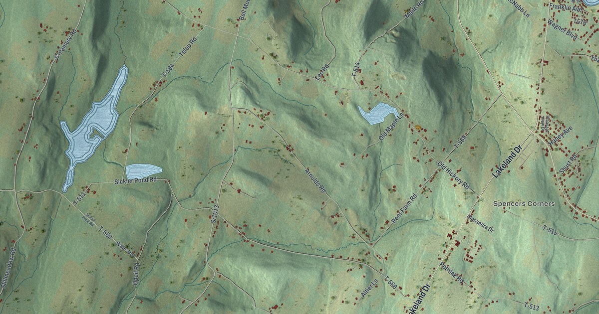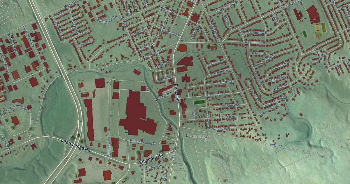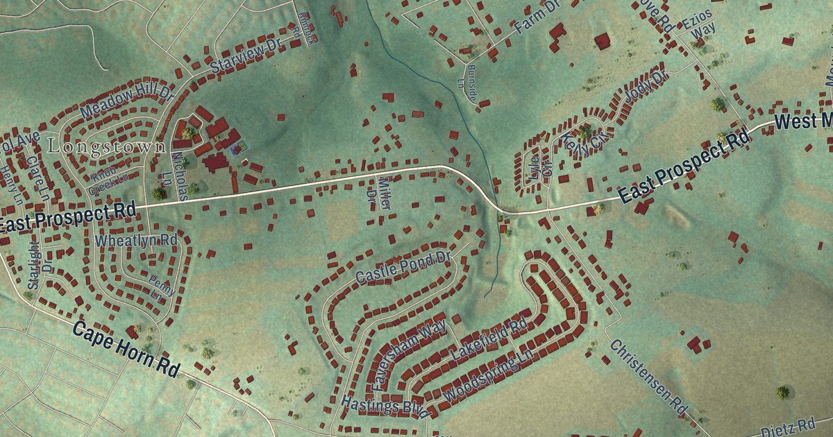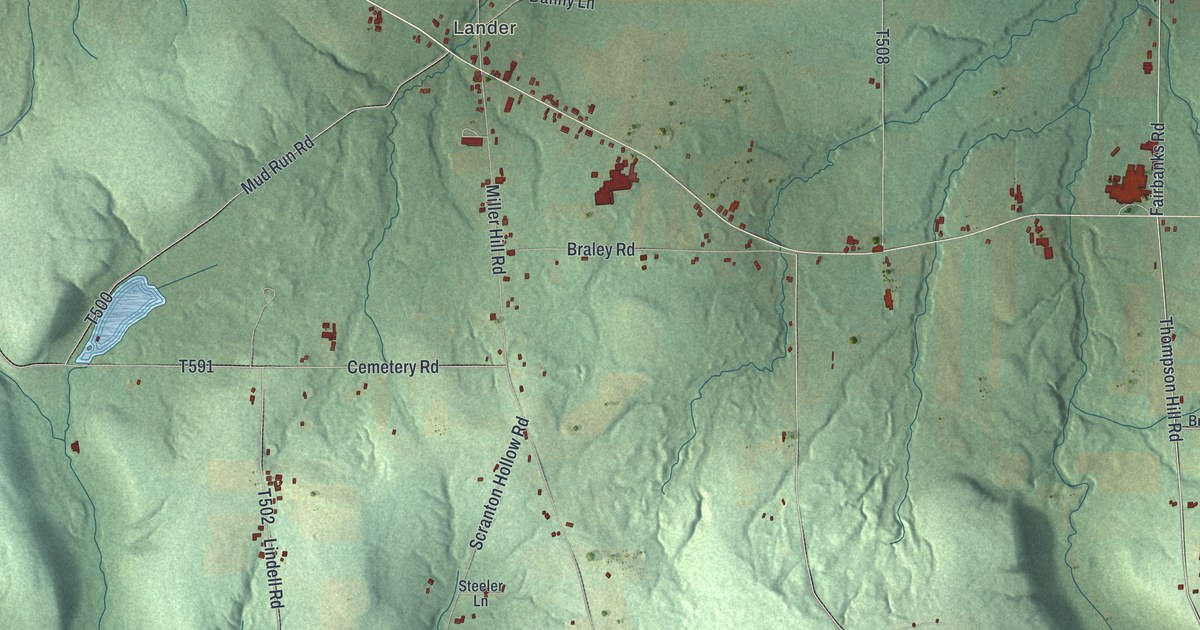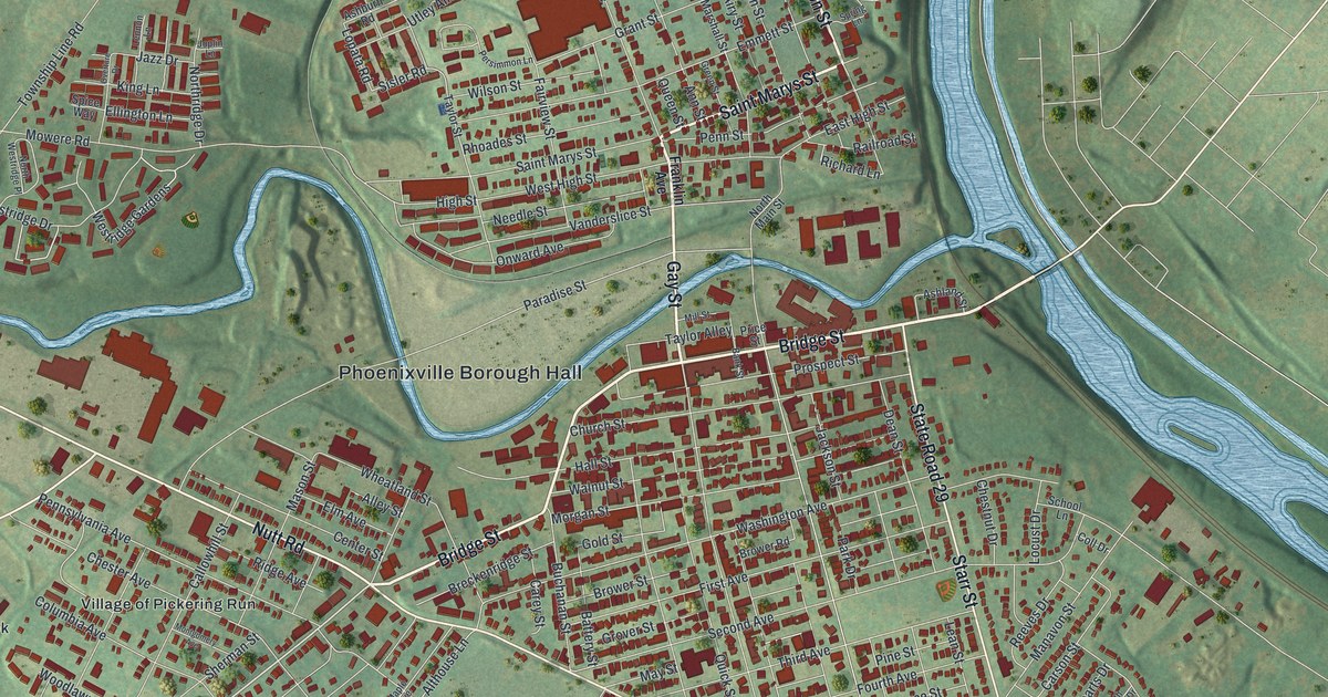
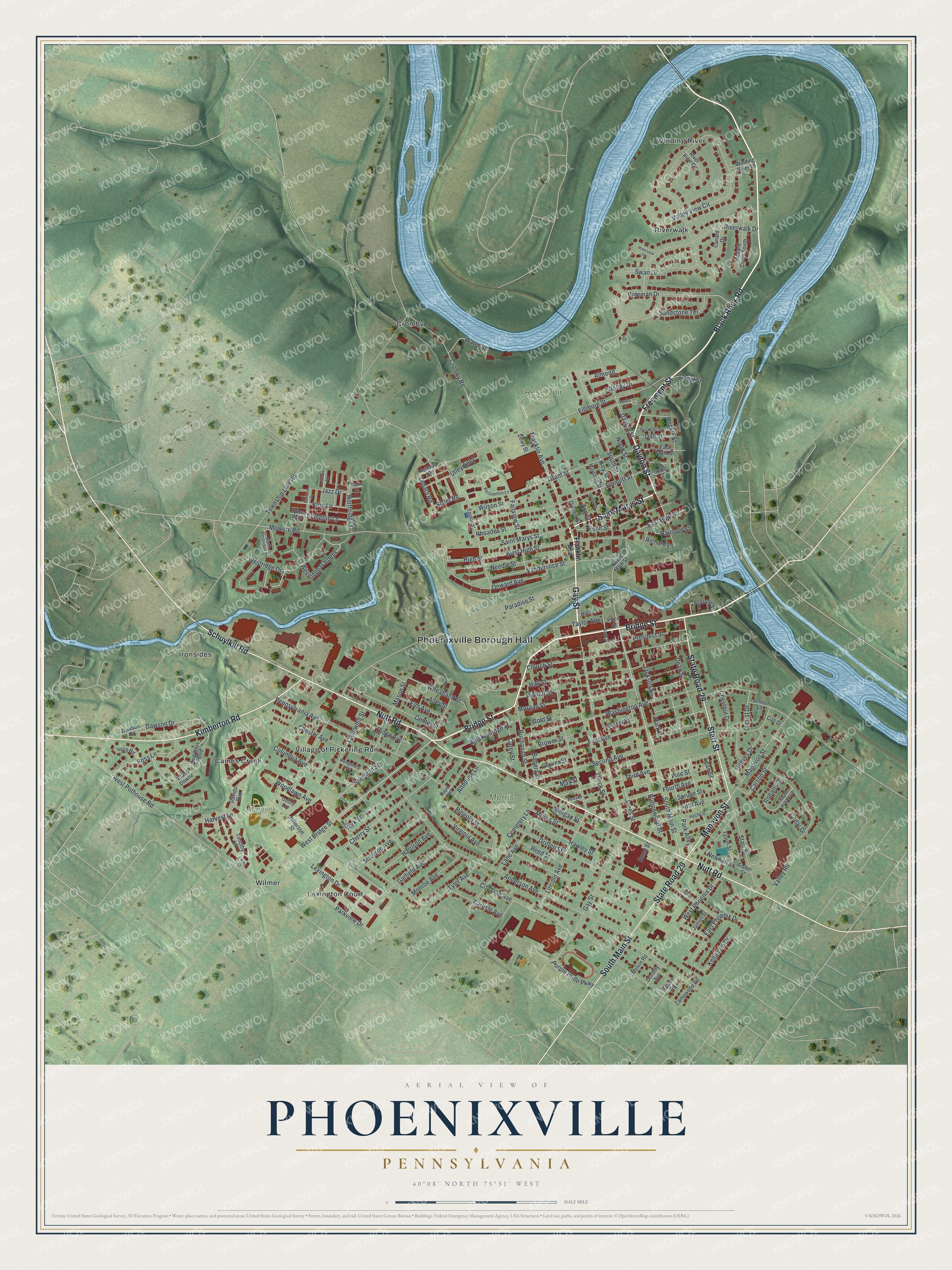
This beautifully detailed map of Phoenixville, Pennsylvania was created in 2026 using aerial imagery combined with modern topographical, census, street and landmark data. It’s a one-of-a-kind view of Phoenixville that combines accurate data with a vintage aesthetic. The map shows every building in its true location, many of the roads carry their names, and the shaded topographic relief shows the shape of the land.
Explore an aerial view of Phoenixville, Pennsylvania
On the map you’ll find Phoenixville Borough Hall, Morris Cemetery, Reservoir Park, Marosek Park, Caines Creek, Cromby, Ironsides, Riverwalk, Village of Pickering Run, Wilmer, and Winding River, along with Lexington Court, and more. If you look closely you can even find your house accurately drawn in its correct location. Zoom in on the preview to look for yours.
Did you know this piece of Phoenixville, Pennsylvania history?
From the 1932 History of Chester County, Pennsylvania: "Phoenixville was incorporated as a borough in 1849, and Dr. Isaac Pennypacker was elected first burgess. Dr. Pennypacker was a member of a family that has contributed much to the cultural and civic improvement of the state."
Take a closer look at the Phoenixville map
Street and place names on the Phoenixville, Pennsylvania map
These names are printed on the map of Phoenixville, Pennsylvania.
Places: Phoenixville Borough Hall, Morris Cemetery, Reservoir Park, Marosek Park, Caines Creek, Cromby, Ironsides, Lexington Court, Riverwalk, Village of Pickering Run, Wilmer and Winding River.
Streets and roads: Bridge Street, Black Rock Road, Saint Marys Street, Gay Street, Freemont Street, Dayton Street, Schuylkill Road, Nutt Road, State Road 29, Starr Street, Kimberton Road, South Main Street.
More street names, A to Z
Airy Street, Alley Street, Almond, Althouse Lane, Amy Court, Anderson Avenue, Ann Street, Ashburn Road, Ashland Street, Augustus Boulevard, Balley Drive, Bank Street, Bateman Drive, Battery Street, Bond Street, Breckenridge Street, Brower Road, Brower Street, Buchanan Street, Buttonwood Street, Callowhill Street, Campwood Road, Canal Street, Canard Drive, Carey Street, Carlisle Avenue, Carson Street, Cedar Drive, Cemetery Lane, Center Street, Cherry Street, Chester Avenue, Chestnut Drive, Christman Street, Church Street, City Line Avenue, Coll Drive, Columbia Avenue, Cromby Road, Davids Run, Dawson Drive, Dawson Road, Dean Street, Dewy Street, Dianna Drive, Dorothy Avenue, East Grant Street, East High Street, East Phoenix Drive, Eland Downe, Ellington Lane, Elm Avenue, Emmett Street, Fairview Street, Fifth Avenue, Fillmore Street, First Avenue, Fisher Street, Fourth Avenue, Franklin Avenue, Garfield Avenue, Gold Street, Grant Street, Green Street, Griffen Street, Grover Street, Hall Street, Harrison Avenue, Harvest Lane, Hawley Street, Hecht Street, Heckle Street, High Street, Ivory Road, Jackson Street, James Street, Jazz Drive, Jefferson Street, Jones Street, Joplin Lane, Kenalcon Drive, King Lane, Lane Avenue, Lean Street, Lennon Lane, Lexington Drive, Lincoln Avenue, Locust Drive, Lopata Road, Madison Avenue, Mallard Circle South, Manavon Street, Maple Avenue, Marshall Street, Mason Street, May Street, Melvin Road, Milligan Street, Mill Street, Monroe Avenue, Montgomery Avenue, Morgan Street, Morris Street, Mowere Road, Natalie Road, Needle Street, Newhall Street, North Main Street, Northridge Drive, North Street, North Westridge Place, Oak Street, Onward Avenue, Overture Drive, Oxford Avenue, Paradise Street, Park Alley, Park Drive, Parkview Drive, Penn Street, Pennsylvania Avenue, Persimmon Lane, Pine Street, Price Street, Prospect Street, Purple Pride Parkway, Queen Street, Quick Street, Railroad Street, Reed Street, Reeves Drive, Reeves Street, Rhoades Street, Richard Lane, Ridge Avenue, Ringold Street, River View Circle, Riverwalk Drive, Robarts Drive, Ross Lane, Sandstone Terrace, School Lane, Second Avenue, Sherman Street, Sisler Road, South Robarts Drive, South Street, Spice Way, Spring Lane, Spruce Street, Square Drive, Swan Drive, Taylor Alley, Taylor Street, Third Avenue, Timothy Lane, Township Line Road, Tyler Avenue, Tyson Street, Utley Alley, Valley Road, Valley View Circle, Vanderslice Street, Virginia Avenue, Walnut Street, Washington Avenue, Water Street, Waterview Circle, West Bridge Street, West High Street, West Phoenix Drive, West Pothouse Road, Westridge Drive, Westridge Gardens, Wheatland Street, Wilson Street, Winding River Lane, Woodlawn Avenue, York Street.
See the Phoenixville, Pennsylvania map on a wall
The Phoenixville map as an 18 x 24 inch print in a black frame.

This beautifully detailed map of Phoenixville makes an attractive addition to your office, library, or den, and it can even be used to teach children the geography and history of the area. It also makes a great gift for someone who left Phoenixville and still calls it home. When you’re done exploring, click here to get your copy of the Phoenixville map.