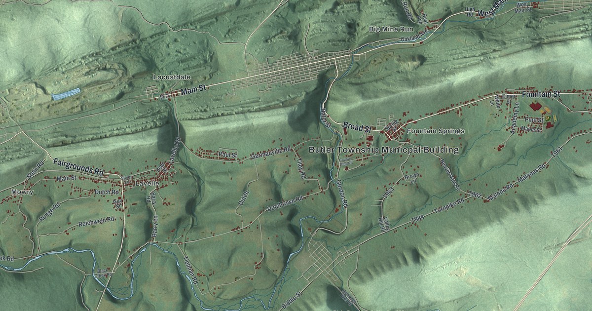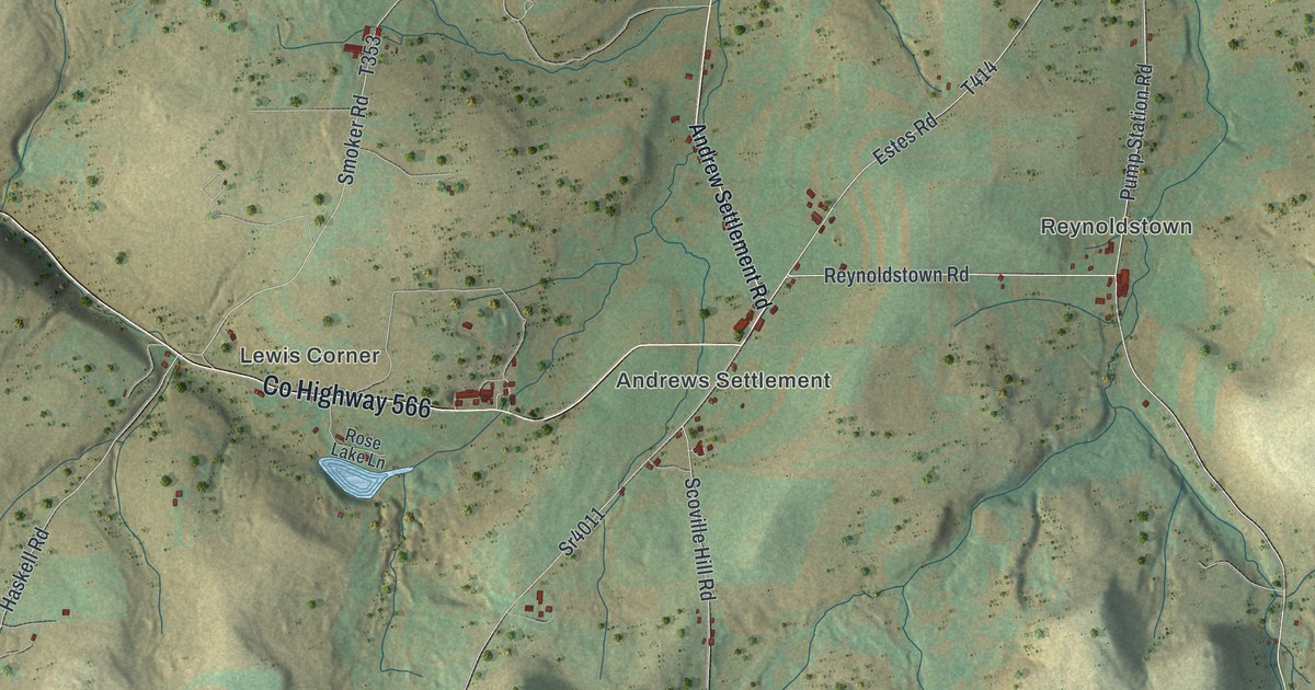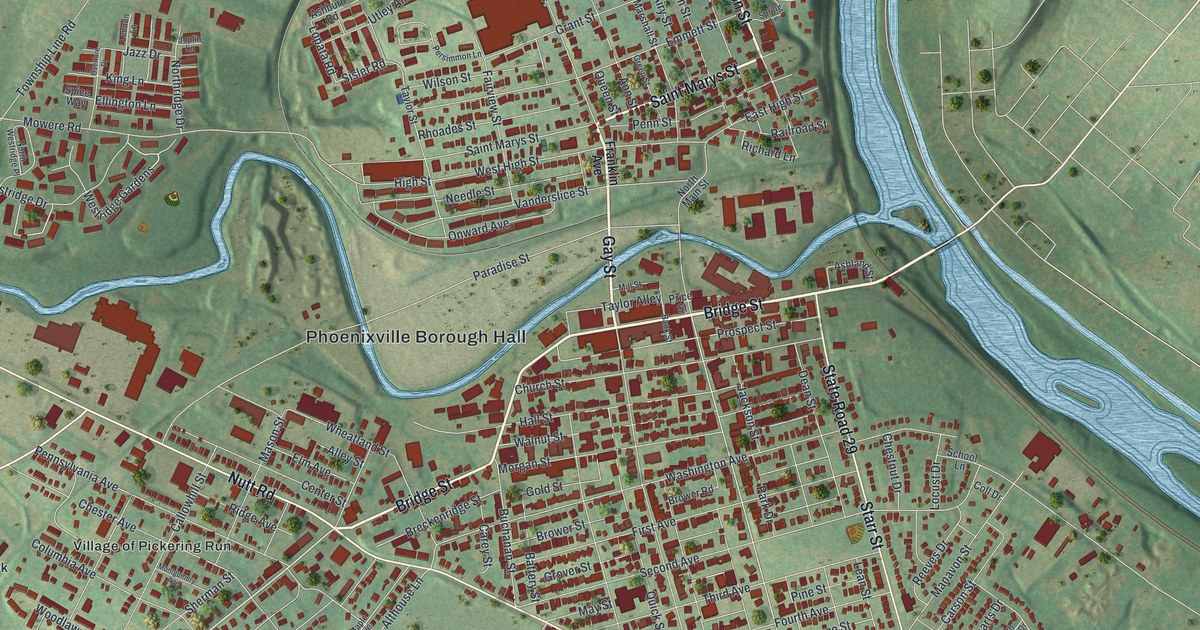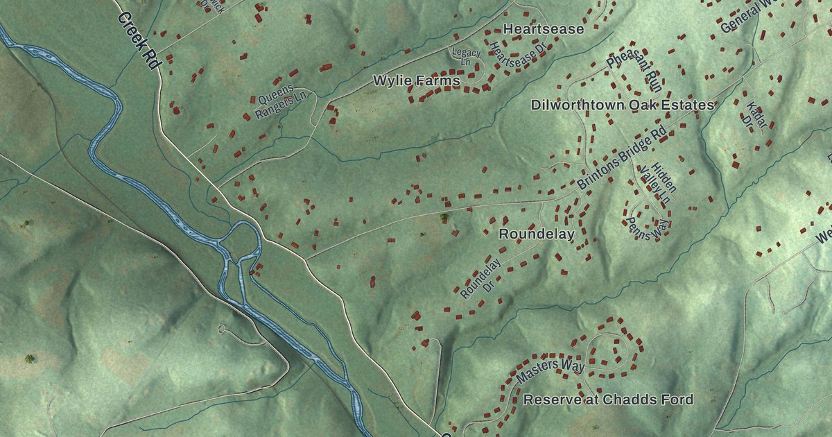
If you live off Birmingham Road, grew up near Dilworthtown or have family in one of the township's neighborhoods, this map has your corner of the Brandywine valley. It's a modern aerial view of Birmingham Township in Chester County, Pennsylvania, made from modern data and given a vintage look. Soft green hills fill the sheet, and Brandywine Creek winds in blue from the top left corner down through the middle. Homes are marked in red along the curving streets of Fair Meadow, Heartsease and Roundelay. The township's homes fill the top half, and green hills with only a few buildings run south to the title panel. Explore the print options for Birmingham, Chester County.
West Street Road, Birmingham Hill and Dilworthtown
Start at the Birmingham Township Office near the top of the sheet. West Street Road runs past it on a long slant. Follow it southwest and it drops down to Creek Road beside the water. The creek isn't labeled, but you can't miss the blue line. Just above the Township Office are Revolutionary Farm, Fair Meadow, Ashwell and Hamilton Place. Just below it are Century Farms, Seal and the faint label for Birmingham Hill Preserve. Now head east. Wylie Road runs down from Seal past Heartsease and Wylie Farms. Farther east are Fieldpoint, The Knolls of Birmingham and Birmingham Estates. Wilmington Pike cuts across the top right corner, and Dilworthtown sits right beside it. From there, Brintons Bridge Road heads back southwest through Dilworthtown Oak Estates and Roundelay. Creek Road carries on down to Reserve at Chadds Ford. Many roads are labeled, and each red shape is a building, so zoom in on the preview and look for yours.
The Battle of Brandywine was fought in this township on September 11, 1777. That morning the British army split in two. One part went east to face Washington's center at Chadds Ford. Cornwallis marched the rest about 6 miles north, then 3 miles east. The plan was to get behind the American right wing. Mixed-up reports kept General Sullivan from setting up a proper defense. The British attack began late in the afternoon, where West Street Road meets Birmingham Road. General Howe gave orders from the ridge at Osborne's Hill, near where Country Club Road meets Birmingham Road. Sullivan's men made a quick line near Birmingham Meeting House. After heavy fighting, they fell back about 2 miles to Dilworthtown. The battle ended just southeast of there at nightfall. A 1915 plaque on the meeting house says it was used as a hospital after the battle. These details come from state markers placed by the Pennsylvania Historical and Museum Commission.
You can follow that day on the print. Meetinghouse Road climbs from Creek Road up toward Birmingham Road, though the meeting house itself isn't labeled. Dilworthtown sits at the upper right, where the fighting ended. The street names keep the story, too. Look for General Howe Drive, General Sullivan Drive, General Cornwallis Drive and General Wayne Drive. General Lafayette Boulevard runs past the Township Office, and Queens Rangers Lane comes off Wylie Road.
The township's name is older than the battle. According to an 1881 county history, it was probably named by William Brinton, one of the first settlers. He came from near Birmingham in England. Brintons Bridge Road still carries the Brinton name across the sheet. The same history says early settlers said the name as "Brummagem," an old English way of saying Birmingham. It's spelled that way on Holme's early map of Pennsylvania. Until 1856, the Street road was the township's northern edge. On the map, Revolutionary Farm and Fair Meadow sit north of West Street Road, the old line.
Brandywine Creek, green hills and the Birmingham title panel
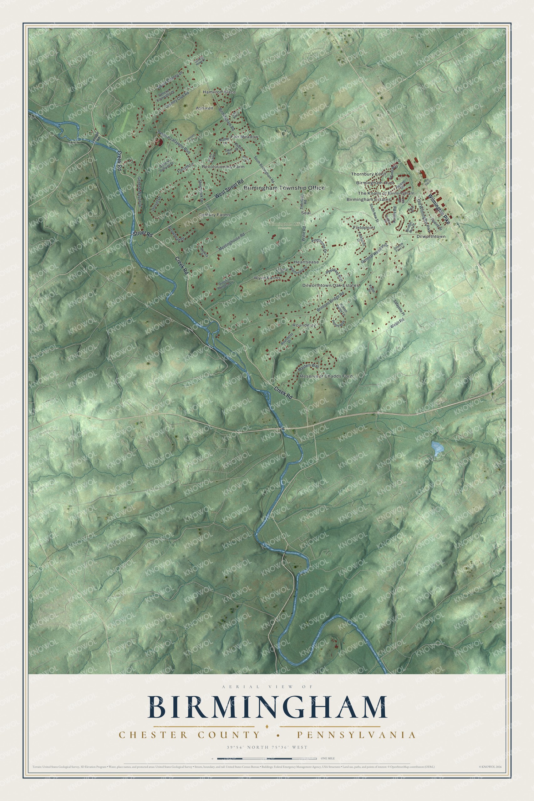
Created by KNOWOL in 2026, this map of Birmingham shows the hills in soft green shading from USGS elevation data, with Brandywine Creek in blue and buildings in deep red. The title panel reads "Aerial View of Birmingham, Chester County, Pennsylvania," with the coordinates 39°54' North, 75°36' West and a one-mile scale bar.
It suits a den, a home office or a front hall in any of these neighborhoods. It's a good gift for someone who grew up near Dilworthtown, a Brandywine history fan, or family who moved away from Chester County. Open the preview, find Brintons Bridge Road and follow it to a street you know. Shop the Birmingham, Chester County, Pennsylvania map.